
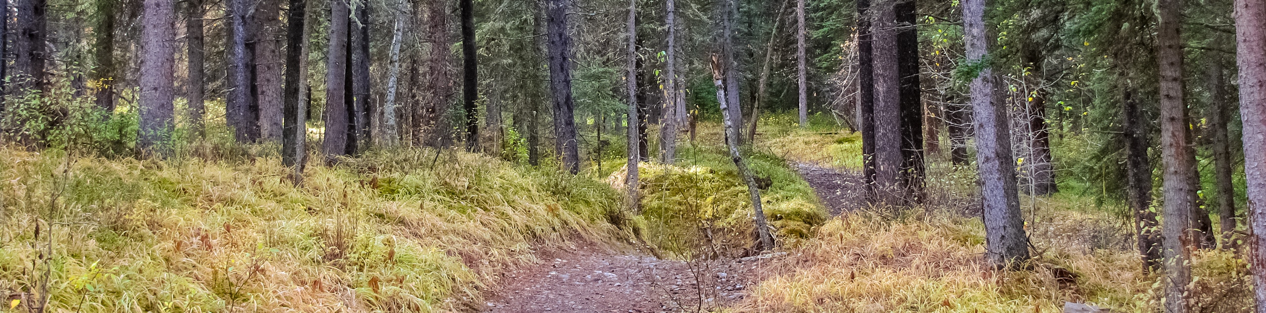
Twin Cairns and Monarch Viewpoint hike
View Photos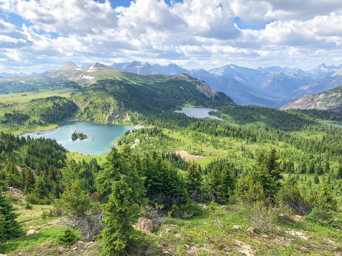
Twin Cairns and Monarch Viewpoint hike
Difficulty Rating:
We love this less-visited part of Sunshine Meadows. You get to take in the Standish Viewing deck, Rock Isle Lake and the beautiful Monarch Viewpoint, all on well-maintained paths. Take the Standish chair up to start and reduce the elevation gain on this hike.
Getting there
Drive 4.8mi west of Banff on Trans-Canada Highway and take the Sunshine Village exit. Drive 5.1mi on this lovely road to Sunshine Village ski resort. Pick up your gondola ticket from the main building.

About
| When to do | July to early October |
| Backcountry Campsites | No |
| Toilets | At trailhead, on trail |
| Family friendly | Yes |
| Route Signage | Average |
| Crowd Levels | Moderate |
| Route Type | Circuit |
Twin Cairns and Monarch Viewpoint
Elevation Graph
Weather
Route Description for Twin Cairns and Monarch Viewpoint
We think that hiking the Twin Cairns hike at Sunshine Meadows is the best family-friendly hike around Banff. There are great views, a good path and limited elevation gain thanks to the Standish Chairlift.
While some people hike this counter-clockwise, we definitely recommend taking the Standish chair up and hiking this clockwise, as it removes a lot of the elevation gain.
To start this hike, you’ll need to buy a gondola ticket from Sunshine Village, which has the bonus of providing some nice views in addition to the transportation.
Once off the Gondola, you’re in the base village of Sunshine Village, a popular ski hill known for the legendary powder snow. In summer, the village is much quieter, as summer is the off-season.
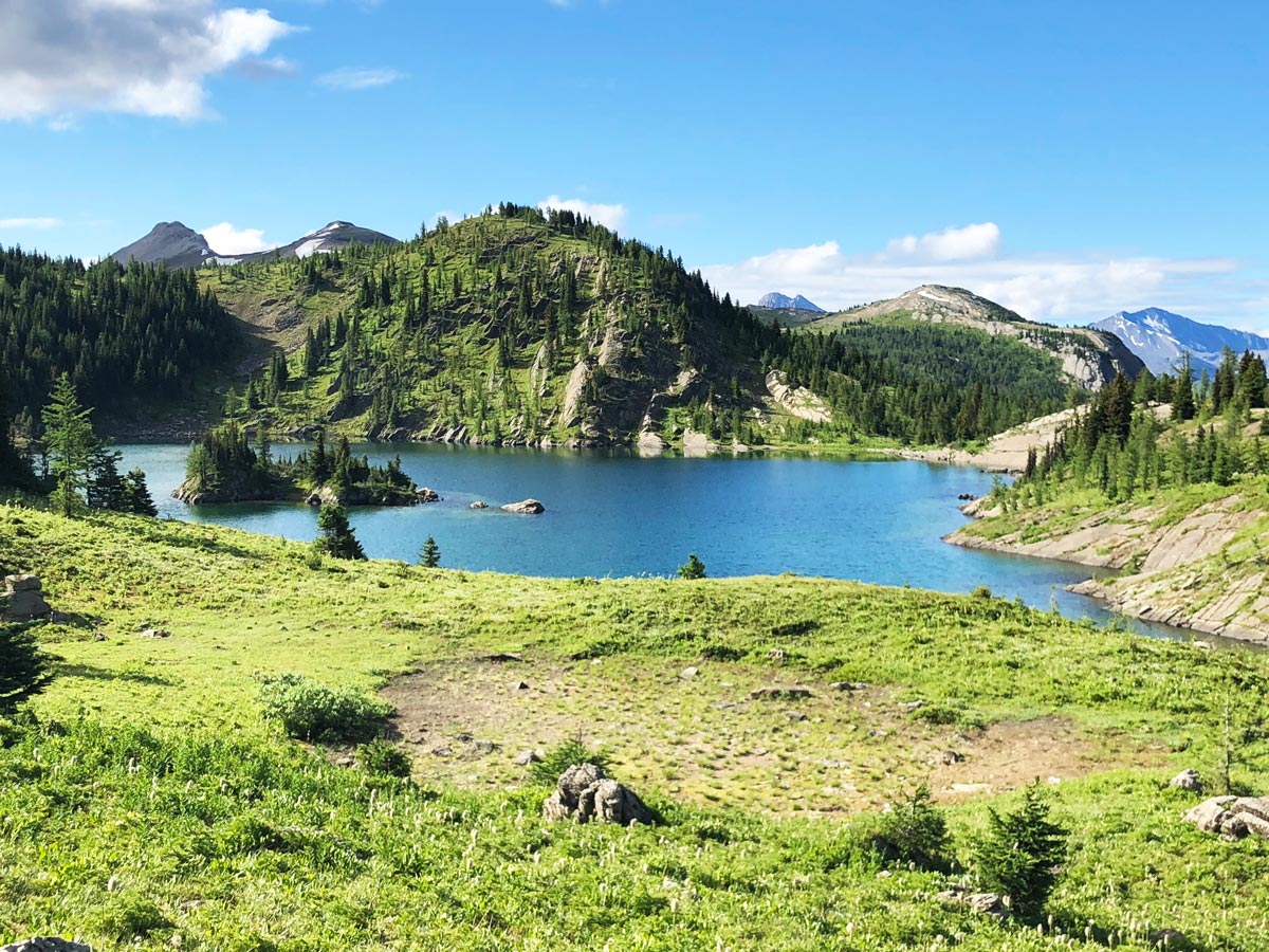
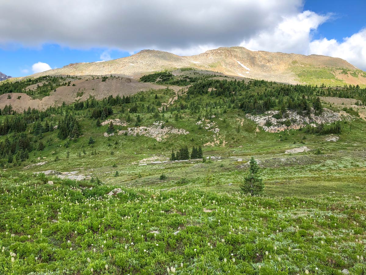
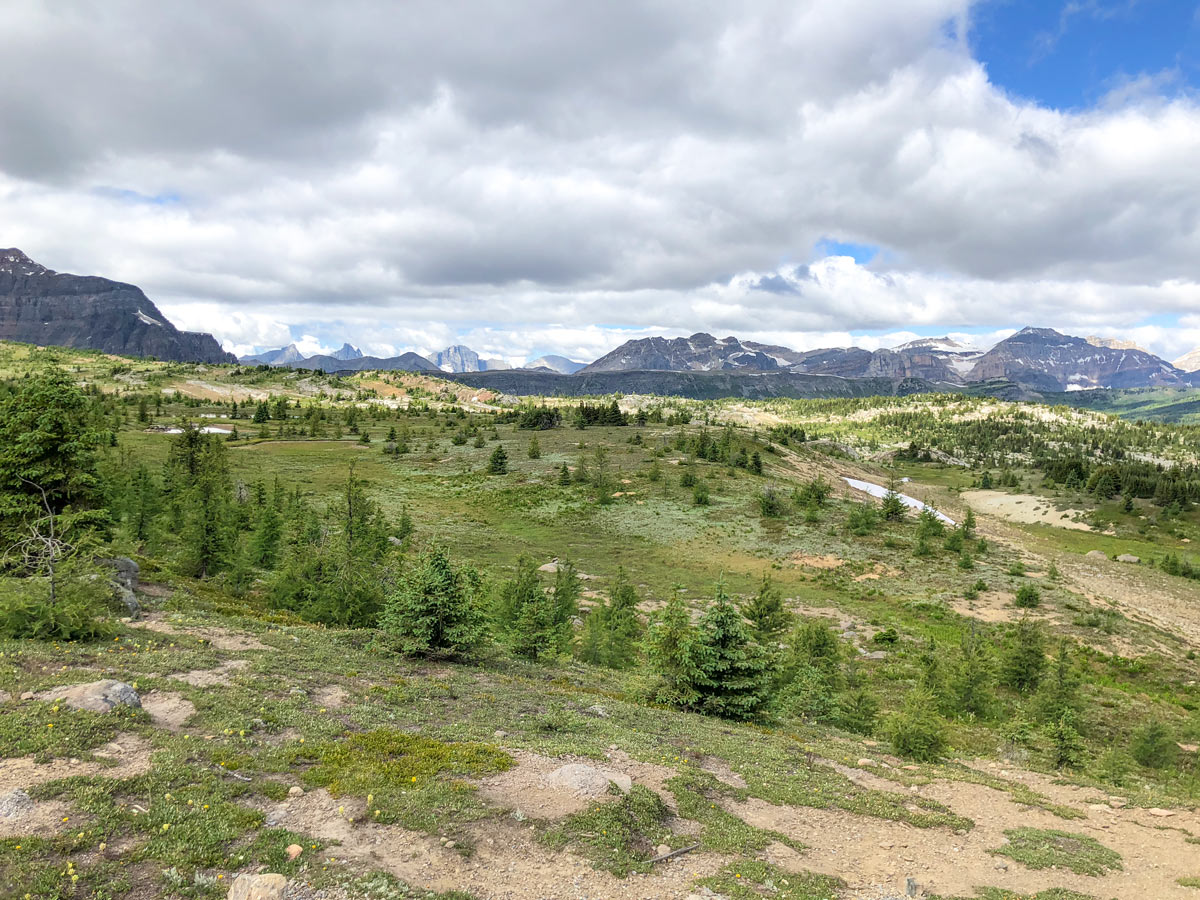
From the gondola head over to the Standish Chair Lift, and take it up to the top. Once you get off, take either path forward as you head towards the Standish Viewing Deck. You’re greeted with a simply stunning view of Rock Isle, Grizzly and Larix Lakes below you.
From the viewing deck, head down on the stairs to the right and follow the path as it heads towards Rock Isle Lake. This is a good path and you will often see Sunshine Village employees on the path to answer questions you may have. Due to the sensitivity of this alpine meadow, please stay on the path and don’t cut across, as it can damage the vegetation.
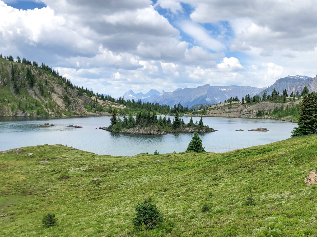
You will come to a T-Junction roughly 0.4mi from the Standish lift. While the Twin Cairns route is signed to go right, we urge you to go left here, signposted for Rock Isle Lake. You simply must get a close-up view of Rock Isle Lake, which you come to soon enough. Follow the trail around the left-hand side of the lake as far as you want to go, though we usually follow it for about 0.6mi.
Once you’ve seen enough of Rock Isle Lake, turn around and return the way you came, back to the junction where you went left. At this point go straight and follow the route signed for Twin Cairns.
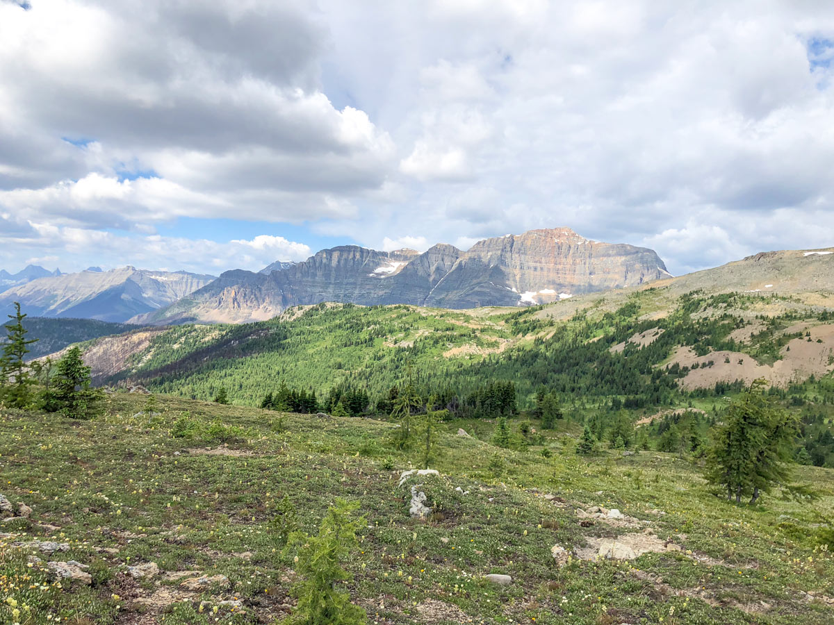
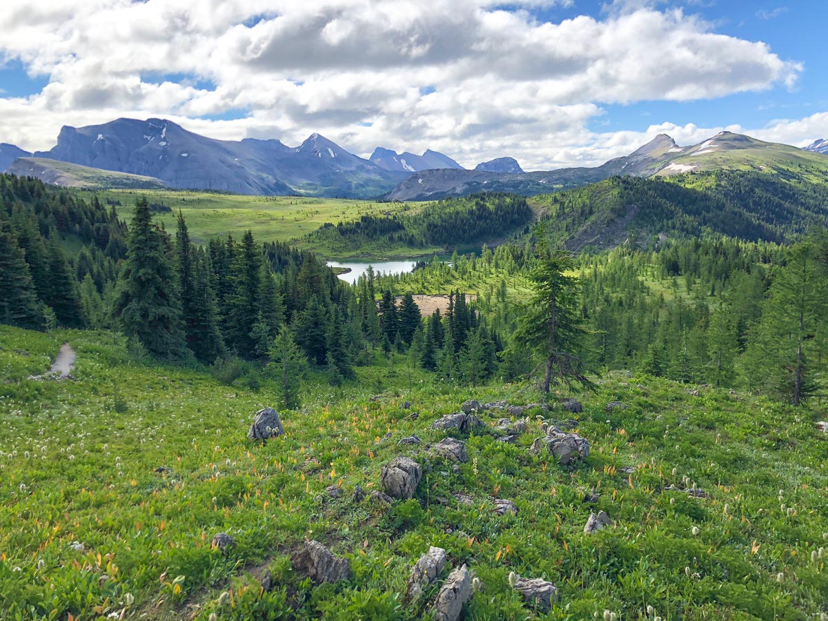
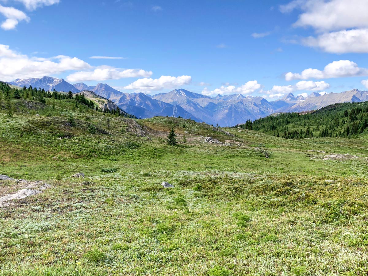
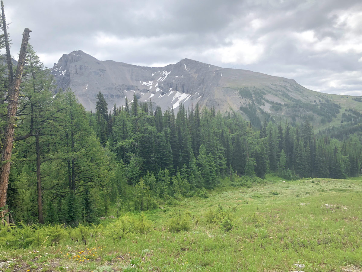
The path initially heads in northerly direction as it contours around Mount Standish. The views to your left are the pretty Twin Cairns, a hiking route that is now off-limits.
Soon you can look to your right, across the ski area to see the Goat’s Eye lift on your left, the famous Delirium Dive ski run coming down the backside of Lookout Mountain and on the right the Great Divide Chair running up Lookout Mountain.
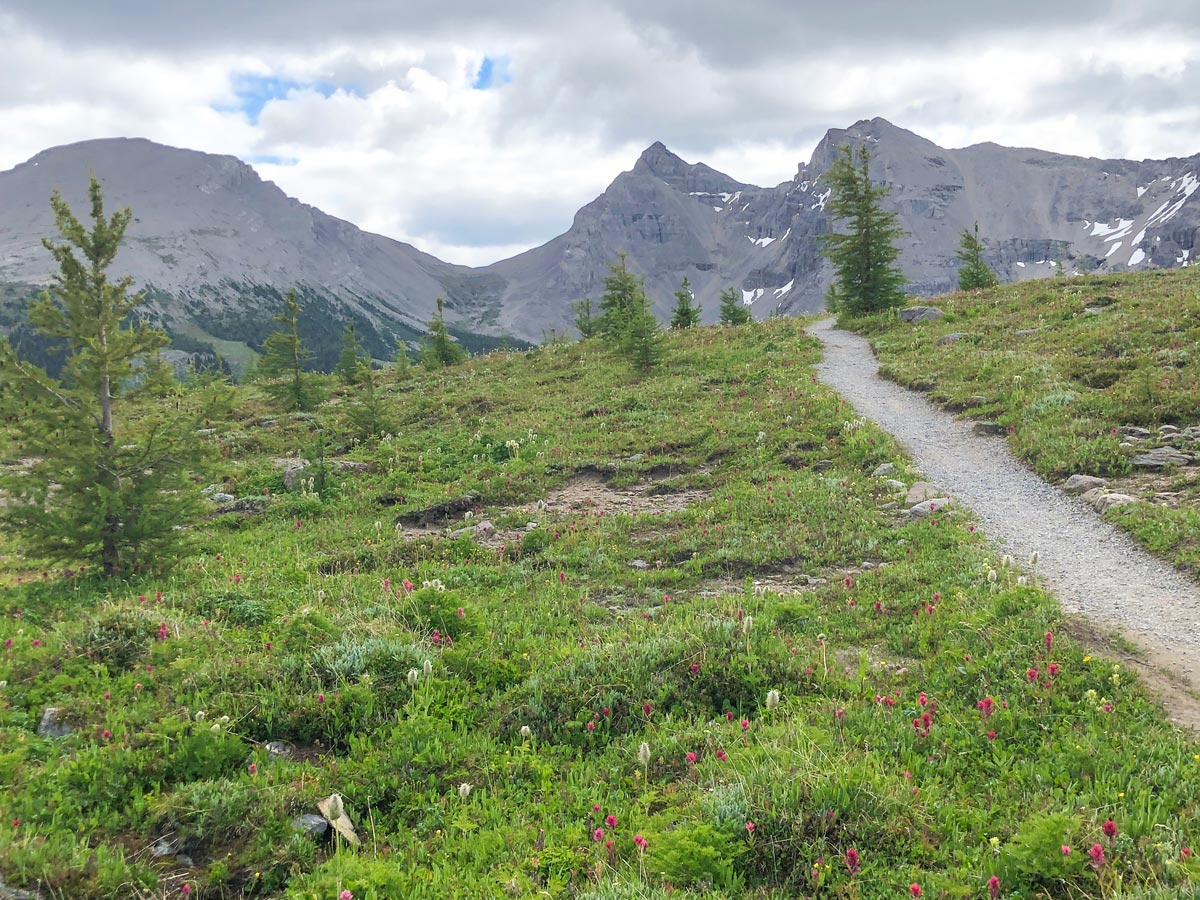
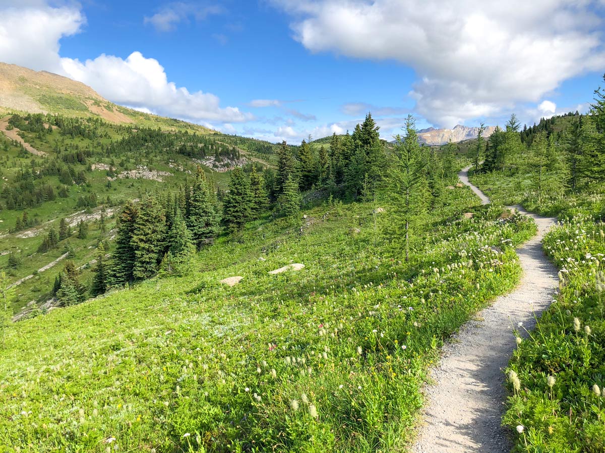
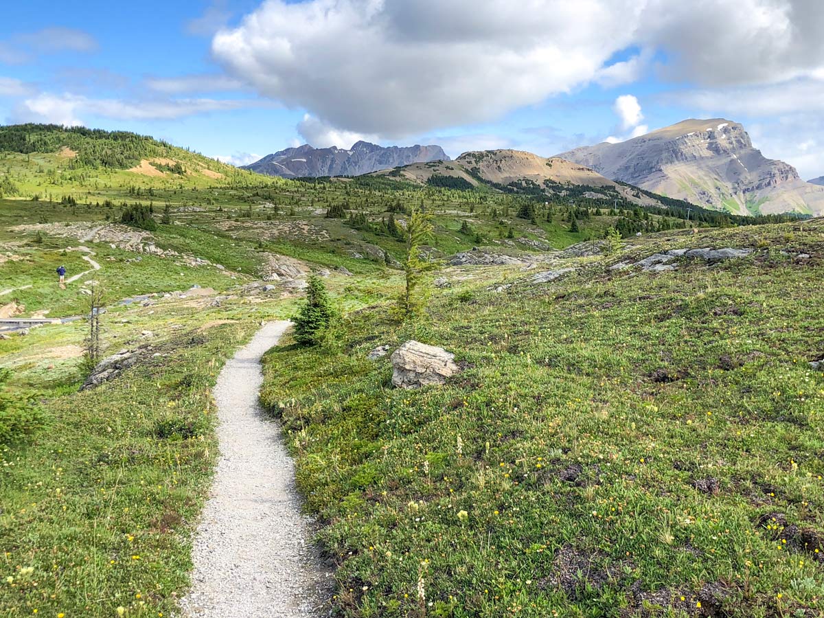
Roughly 1.4mi since you left the T-Junction you come to another junction. Here we suggest you go left (signed for Simpson Pass and Healy Pass) and walk for 3-4 minutes towards the pretty Monarch viewpoint. There’s a bench here to take a break and enjoy the pretty views.
When you are ready, turn around and walk back, soon reaching the junction.
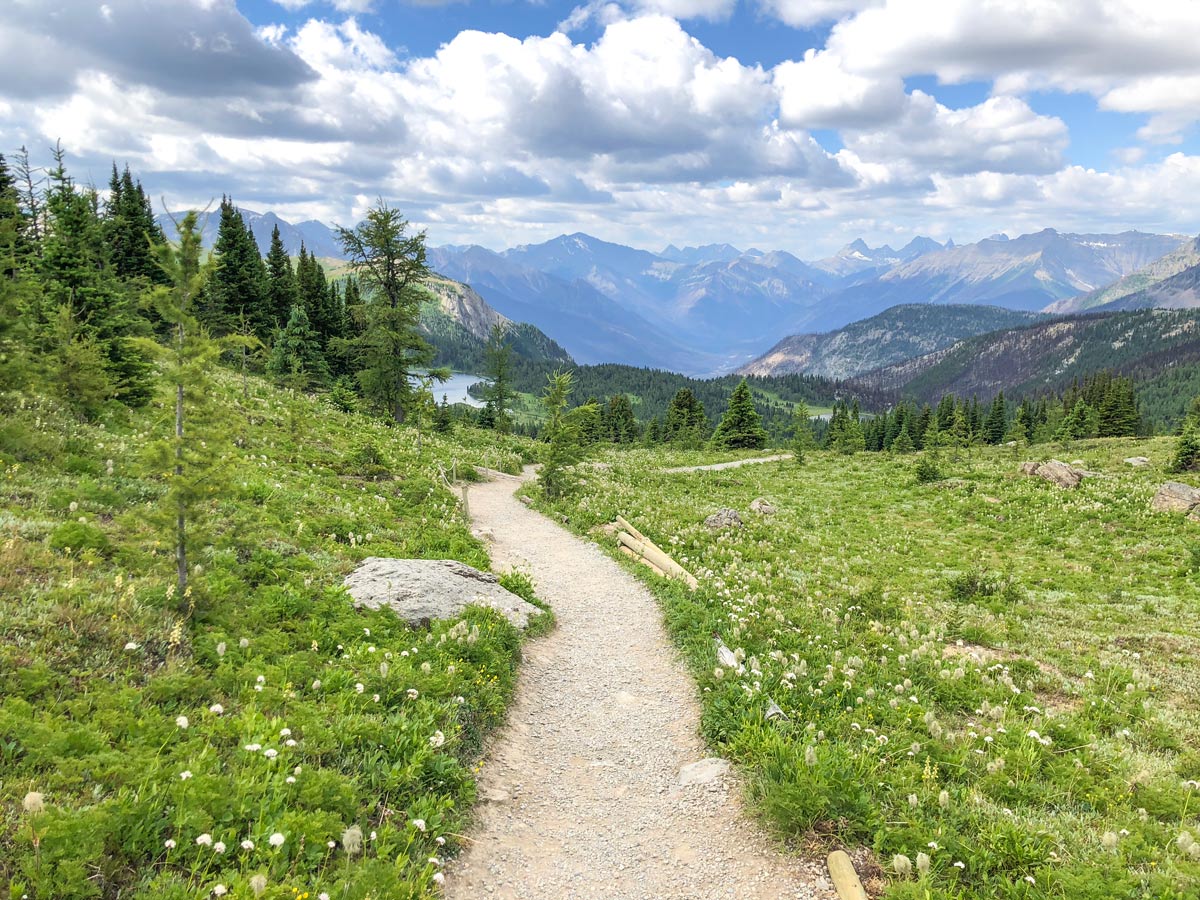
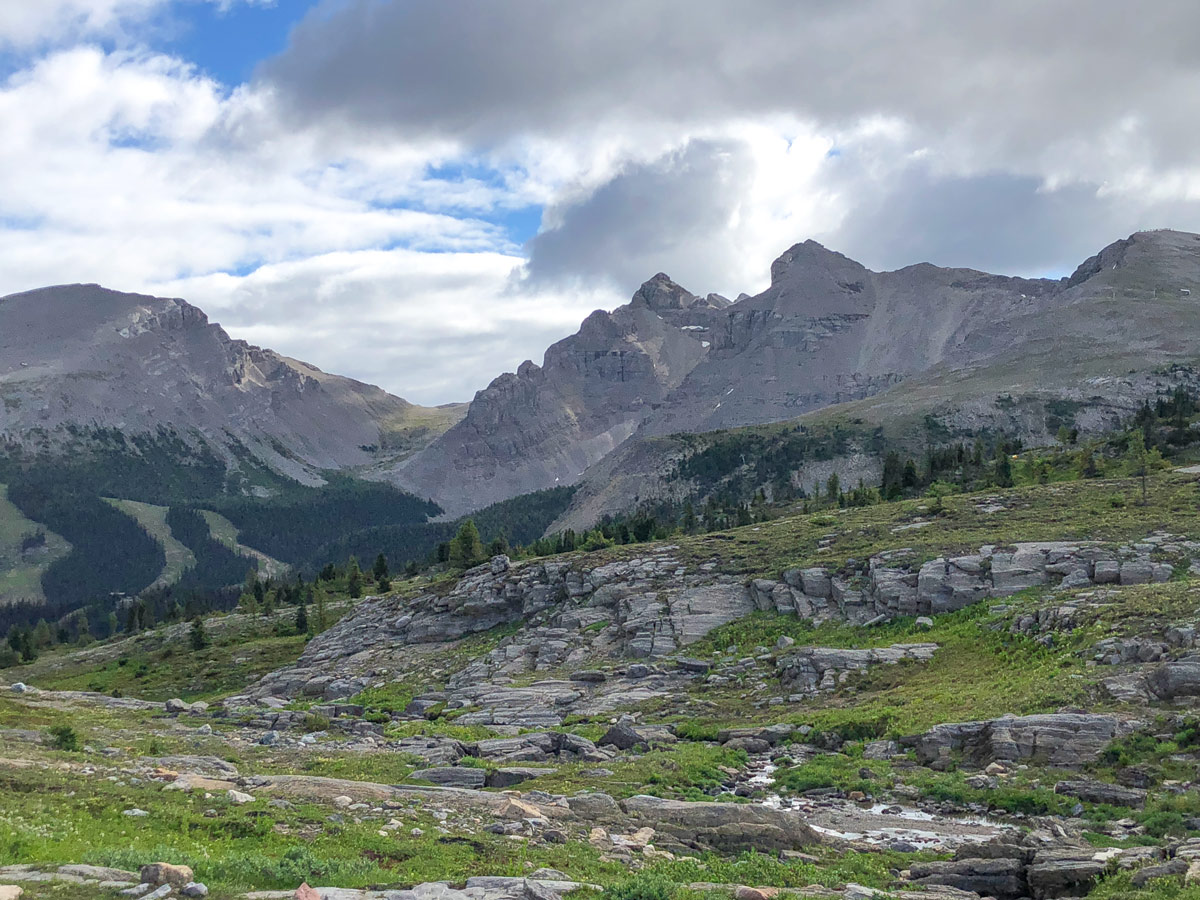
Continue forward at the junction, you have 1.1mi of downhill hiking, where you will drop 623ft of elevation. Initially the path doesn’t feel like you’re on a ski hill, however as you enter the trees you reach the Meadow Park ski-run (it is #61). From here the path turns towards the south (right) and heads back to the Gondola Station.
Grab a coffee in Sunshine Mountain Lodge or some nachos and a beer at Mad Trappers and enjoy the end of a great, family-friendly hike.
Insider Hints
This is an exceptional hike to do in July with the wildflowers blooming everywhere. September is also a great time to visit with beautiful Autumn colours.
Consider a stay at Sunshine Mountain Lodge and get to enjoy this stunning part of the Canadian Rockies without many others around.
To make this hike a bit longer, consider pairing it with the hike that takes in Grizzly and Larix Lakes.

Similar hikes to the Twin Cairns and Monarch Viewpoint hike
Rundle Riverside Trail
The straightforward Rundle Riverside trail is an easy to follow trail that connects Banff to Canmore. It is a great…
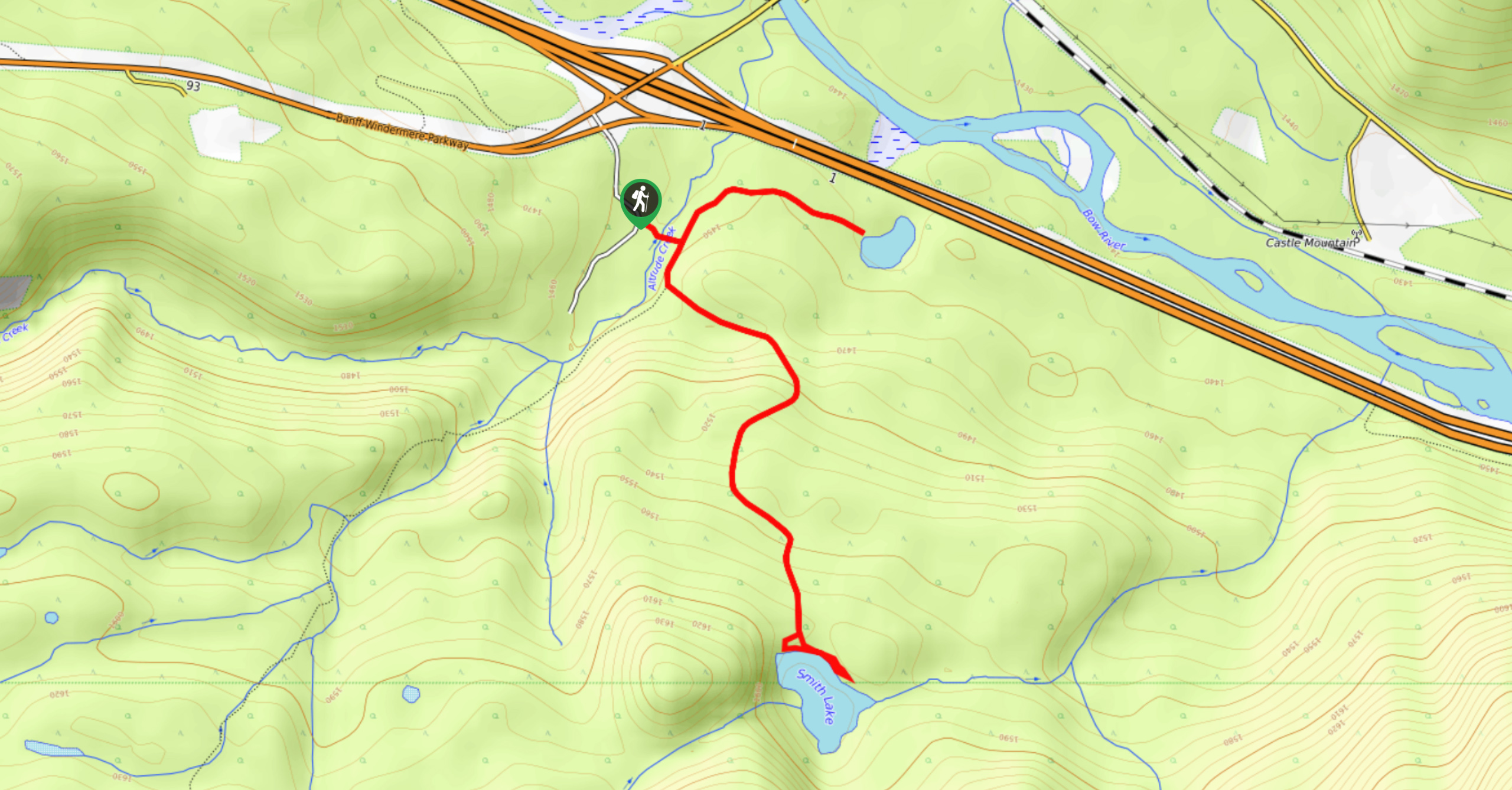
Smith Lake Trail
Smith Lake is an often-forgotten lake that is nestled in the forest at Castle Junction. It is a stunning green-blue…
Healy Creek Trail
Hiking along Healy Creek Trail is an enjoyable route wide enough for a stroller or chariot. This hike can be…
Richy_travels 5 years ago
I admire the lovely Monarch Viewpoint!
JohnCan 5 years ago
We did this hike a few years back on lovely Spring. I highly recommended it.
DesireeD. 5 years ago
We did this hike a few years back during Autumn, and it was breathtaking!
MayP 5 years ago
Picturesque hike with breathtaking views.
Leonard J. 5 years ago
Lots of things to see in the viewpoint. Just Beautiful!
Grant Ko. 5 years ago
Impressive views and not much of elevation. Wonderful trail through breathtaking scenery.
JMC 5 years ago
Well-maintained trail and incredibly beautiful. The Monarch Viewpoint is truly amazing.
noraliu 5 years ago
It was hauntingly beautiful! One look is all it takes to take my breath away!
LukeMc 5 years ago
It was a spectacular place with lots of photo opportunities.
Stoves_M 5 years ago
Stunning! The views from anywhere in this hike were beautiful.