Twin Lakes hike
View Photos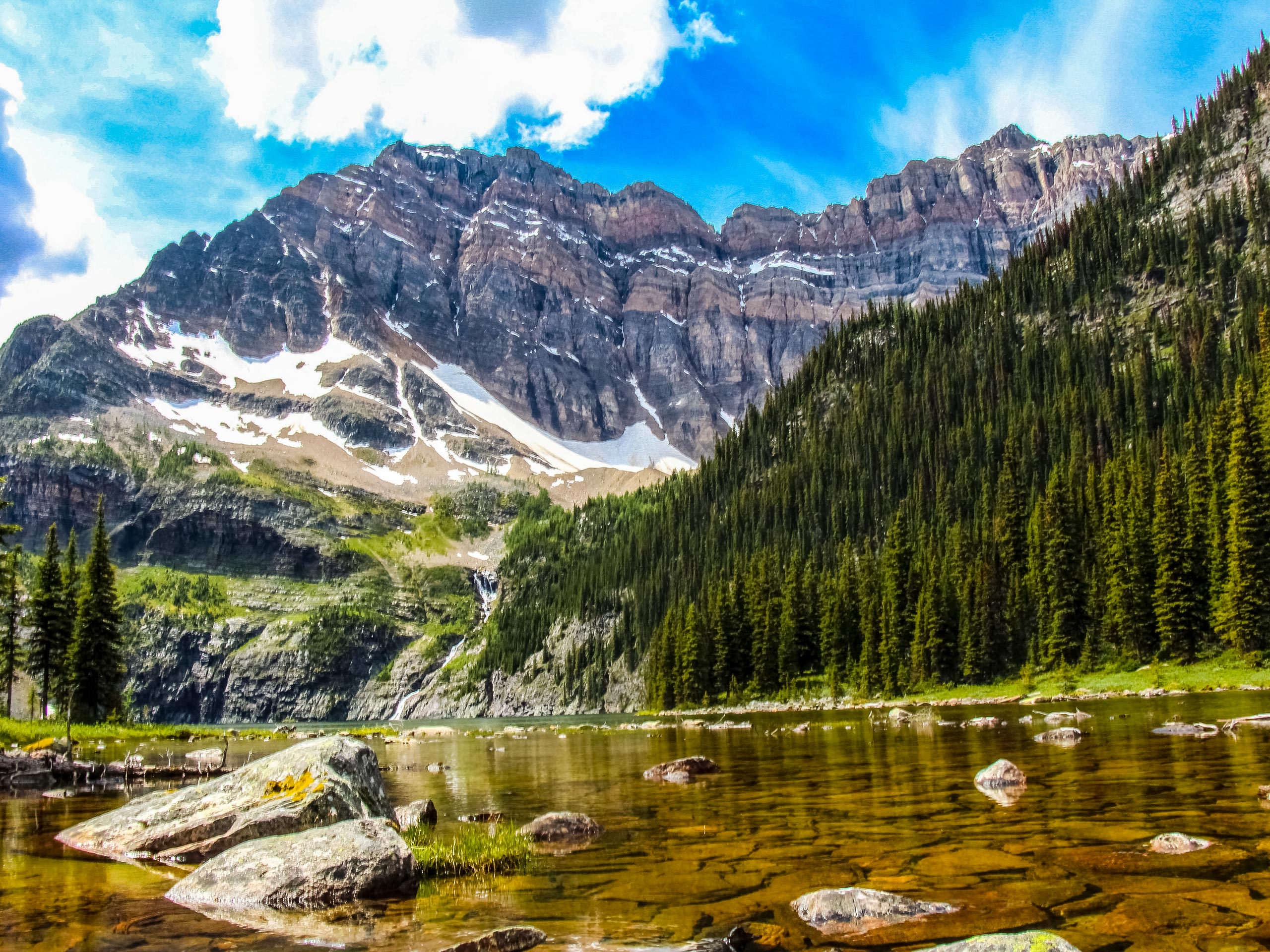
Twin Lakes hike
Difficulty Rating:
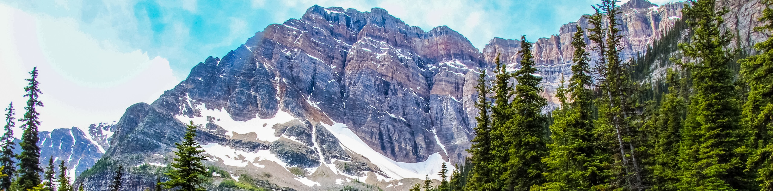
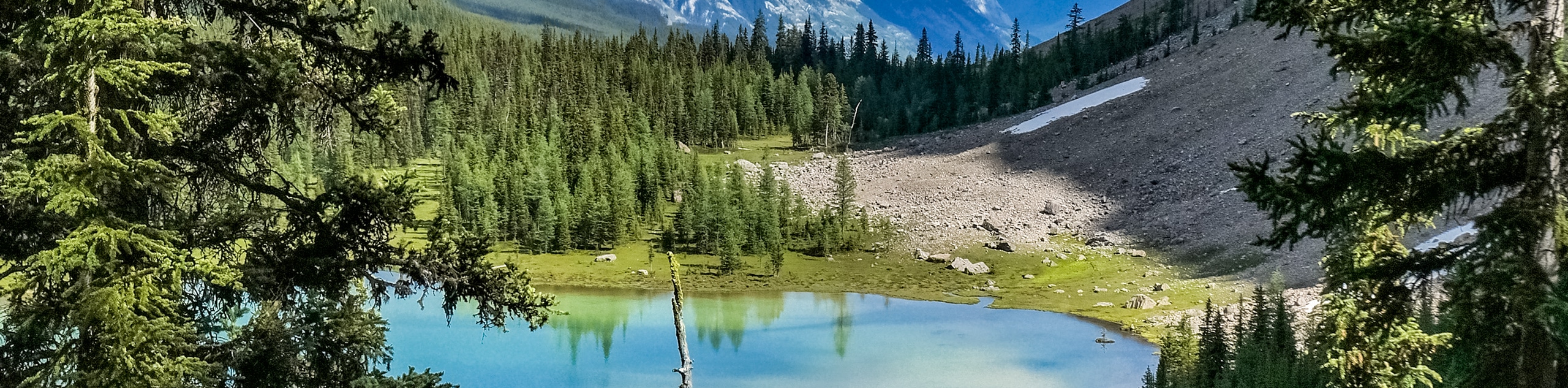
The Twin Lakes hike at the edge of Banff and Kootenay parks is an incredible trail that passes by four different lakes and gains elevation over the Bow Valley. This is an excellent trail for wildflower blooms and shows off its fall colours during larch season. It has many options to connect with other trails in the area to create a lengthy backpacking route.
Getting there
From the Trans-Canada Highway, take the exit at Castle Junction for Radium Hot Springs (93S). Travel southbound on the 93S highway for 5.6mi before reaching a sign for Vista Lake. Turn into the parking lot on your left, and park here. A large trail sign and kiosk is on the left of the large parking lot, where you can see Vista Lake. This is where the trail begins.

About
| When to do | June-October |
| Backcountry Campsites | Twin Lakes Campground (Tw7) Parks Canada |
| Pets allowed | Yes - On Leash |
| Family friendly | Older Children only |
| Route Signage | Average |
| Crowd Levels | Moderate |
| Route Type | Out and back |
Twin Lakes
Elevation Graph
Weather
Twin Lakes Hike Description
The Twin Lakes hike begins at the Vista Lake parking lot off the 93S highway. You’ll be able to see Vista Lake from the parking lot, and its gem-like colour will distract you from the descent to the valley bottom. Hopefully, you will forget that you have to climb back up this hill on your return.
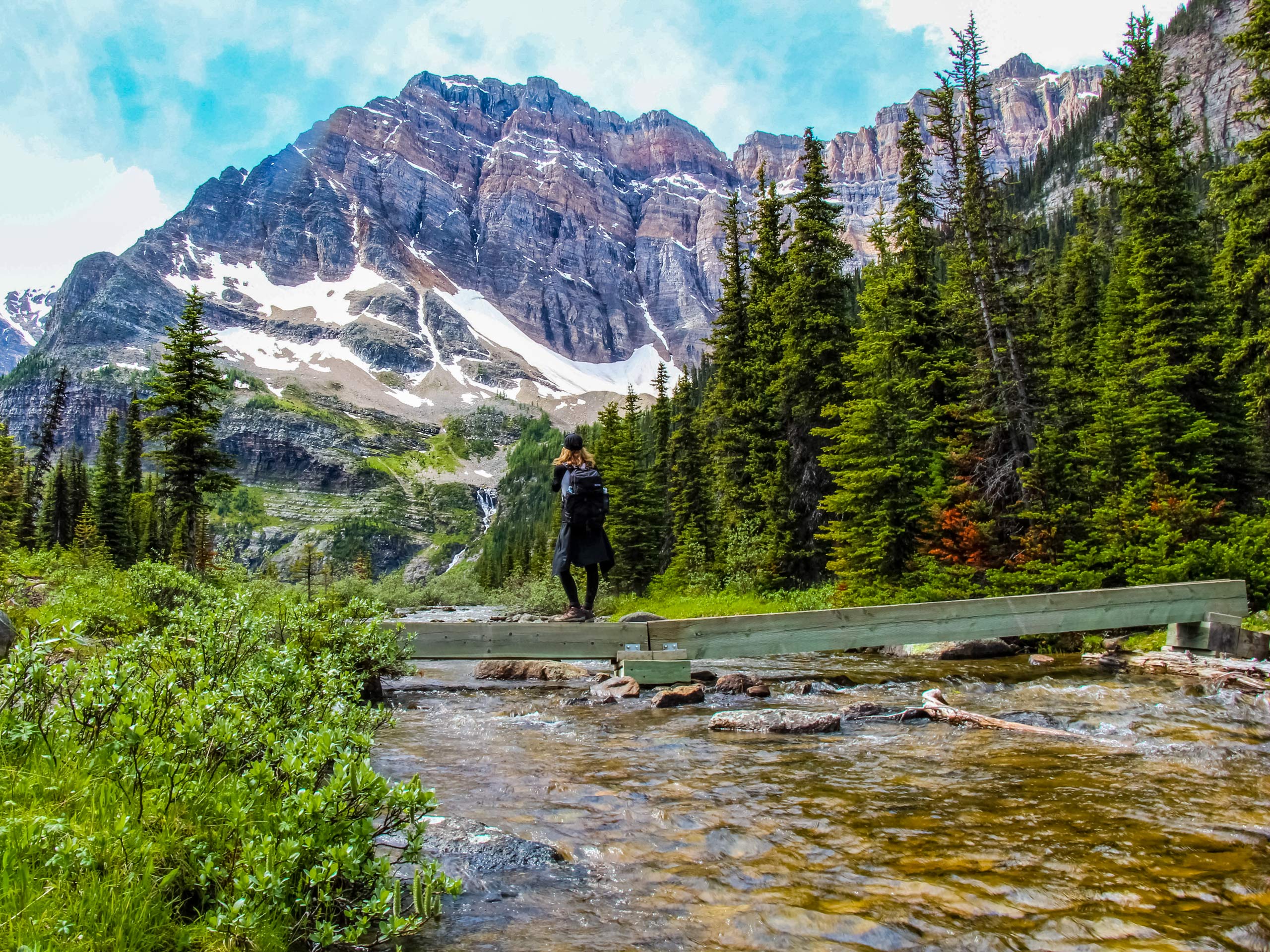
From Vista Lake, cross a small footbridge and begin the ascent to Arnica Lake. This trail gains elevation quickly and crosses various bridges before reaching a small pond. After the pond, you will reach the beautiful Arnica Lake. Watch for wildflower blooms in high season, as the namesake of this lake provides accompanying flowers. Arnica is a yellow petalled flower in the sunflower family that is highly medicinal and common in alpine environments.
From Arnica Lake, continue up the trail, gaining a ridge to Upper Twin Lake. From here, you will descend to Lower Twin Lake, the final lake of the route. You can return the way you came, or if you are more prepared, you may book a campsite here and stay the night. There are many backpacking routes and connecting trails in the area, so if you plan on extending your stay, be sure to have a look at the map to pick the best option.
Want to find more amazing Lake Louise hikes? Check out the Plain of the 6 Glaciers, Sentinel Pass, Morraine Lake or the Skoki Lakes hike.
Similar hikes to the Twin Lakes hike
Rundle Riverside Trail
The straightforward Rundle Riverside trail is an easy to follow trail that connects Banff to Canmore. It is a great…
Tower Lake
The hike to Tower Lake is great for those who don’t have the time or energy to trek all the…
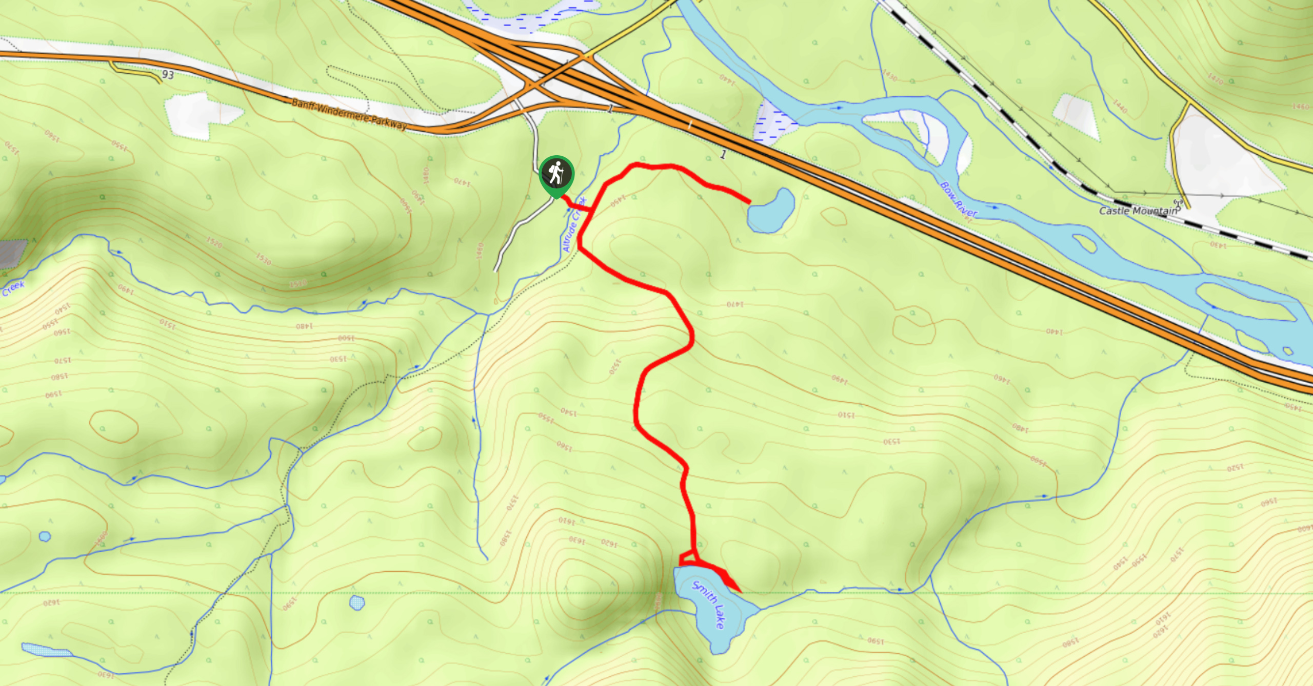
Smith Lake Trail
Smith Lake is an often-forgotten lake that is nestled in the forest at Castle Junction. It is a stunning green-blue…
Comments