

Sarbach Lookout
View PhotosSarbach Lookout
Difficulty Rating:
Hiking to Sarbach Lookout is a great way to cleanse your palate after walking through the crowds at Mistaya Canyon. You will be able to see the famed canyon before continuing on and leaving the crowds behind. Take in unbeatable views of Glacier Lake and Howse Pass from the lookout.
Getting there
From the southern end of the Icefields Parkway near Lake Louise, travel 42.9mi to the Mistaya Canyon parking area and pull in here for your hike.
About
| When to do | June-September |
| Backcountry Campsites | No |
| Pets allowed | Yes - On Leash |
| Family friendly | No |
| Route Signage | Average |
| Crowd Levels | Moderate |
| Route Type | Out and back |
Sarbach Lookout
Elevation Graph
Weather
Sarbach Lookout Trail Description
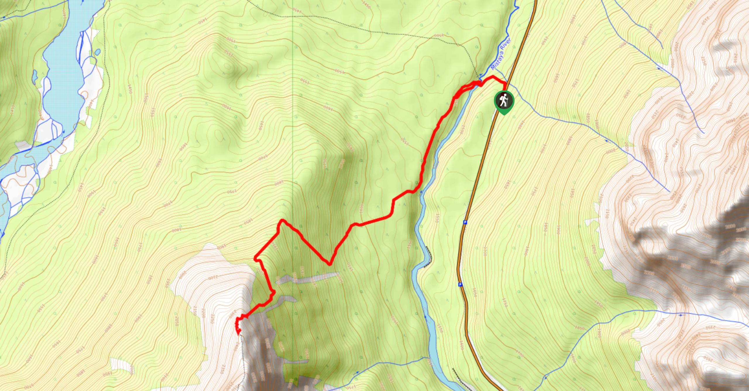
The Sarbach Lookout trail follows the ridge of Mount Sarbach to a beautiful lookout. The peak itself involves a difficult and dangerous scramble route, which makes the lookout an unquestionable choice.
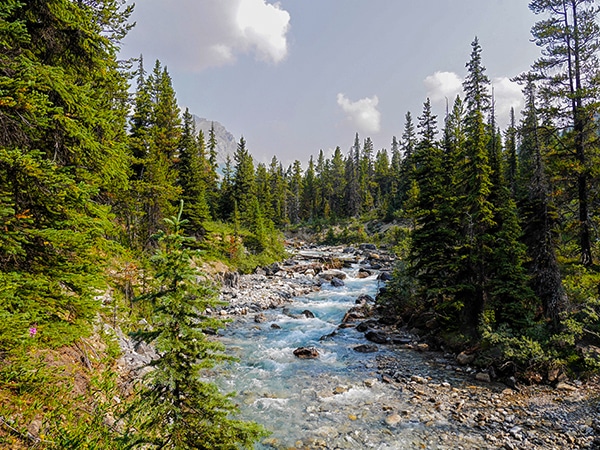
From the corner of the Mistaya Canyon parking lot, you will be able to locate trail signs easily. Follow the access road towards Mistaya Canyon, where you will likely encounter extreme crowds in the summer. Follow trail signs for Sarbach Lookout and continue alongside the crystal blue Mistaya River. You will cross some marshy sections that can be very wet early in the season.
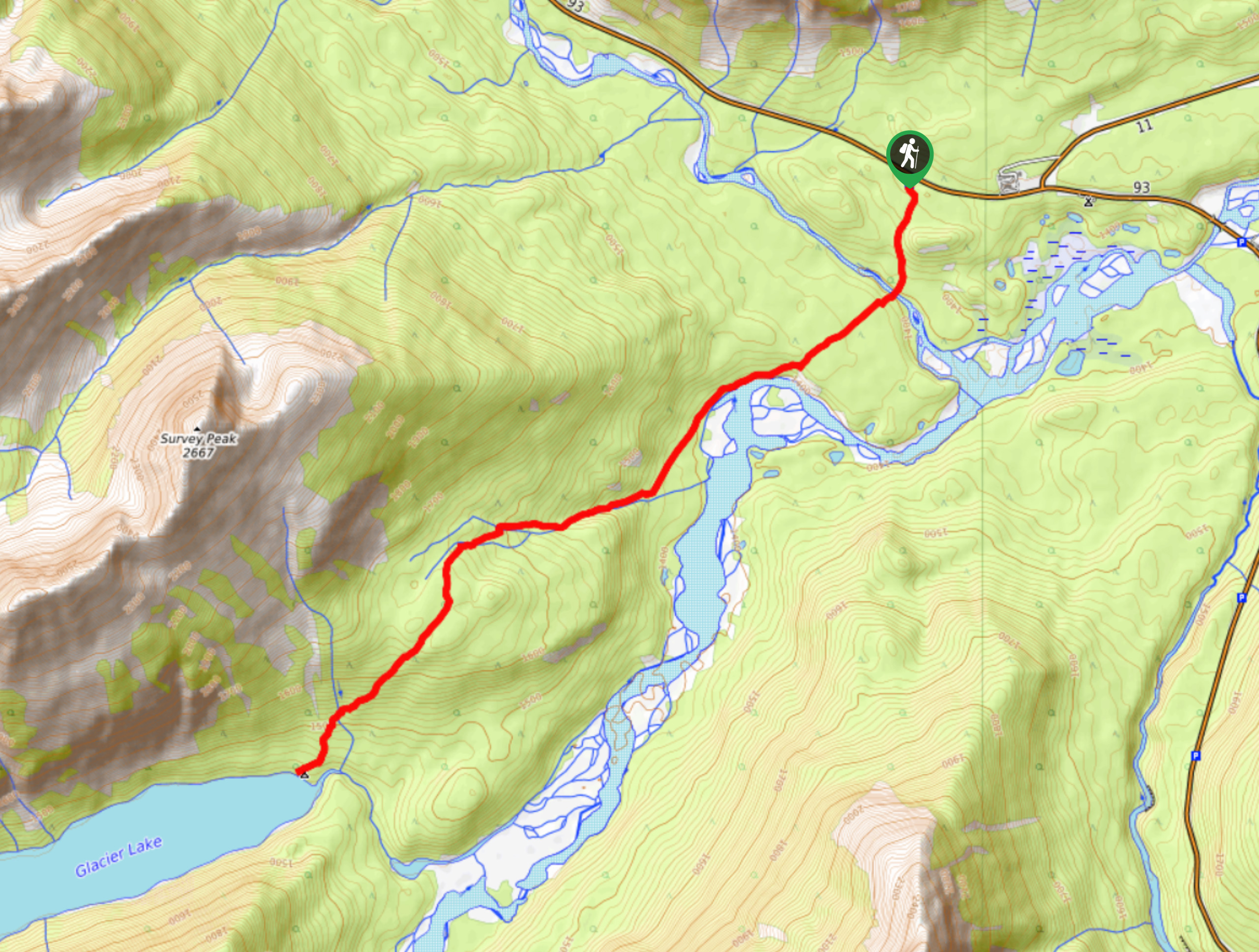
The trail will begin to climb steadily to the lookout, where you will be able to see nearby Glacier Lake and the historically significant Howse Pass. Enjoy the views before returning to the parking area.
Similar hikes to the Sarbach Lookout hike

Glacier Lake
The relatively flat Glacier Lake trail is commonly used by backpackers; however, it makes for an excellent day hike. Whether…

Katherine Lake
Hiking to Katherine Lake will take you beyond the famed Helen Lake through fields of wildflowers beneath gigantic peaks. It…

North Molar Pass
The hiking trail to North Molar Pass takes you to one of the most amazing, vast alpine meadows in Banff…


Comments