C-Level Cirque
View Photos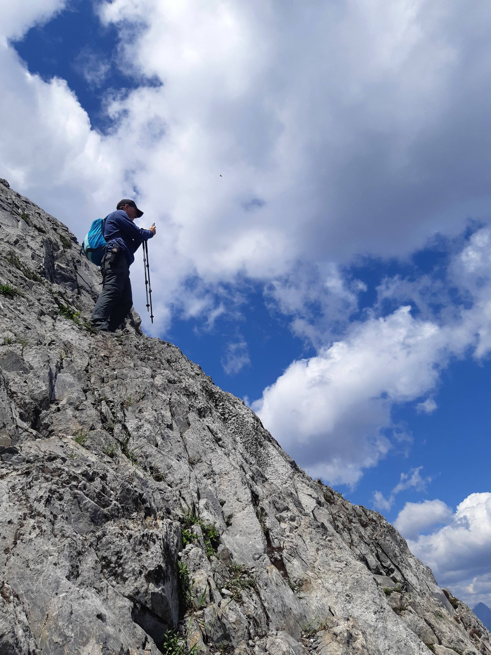
C-Level Cirque
Difficulty Rating:
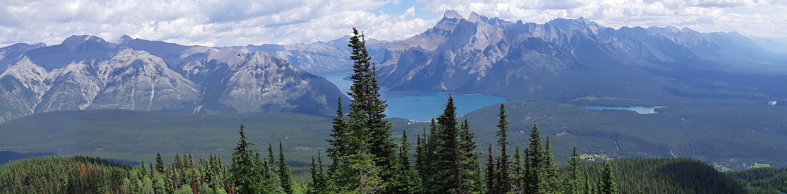
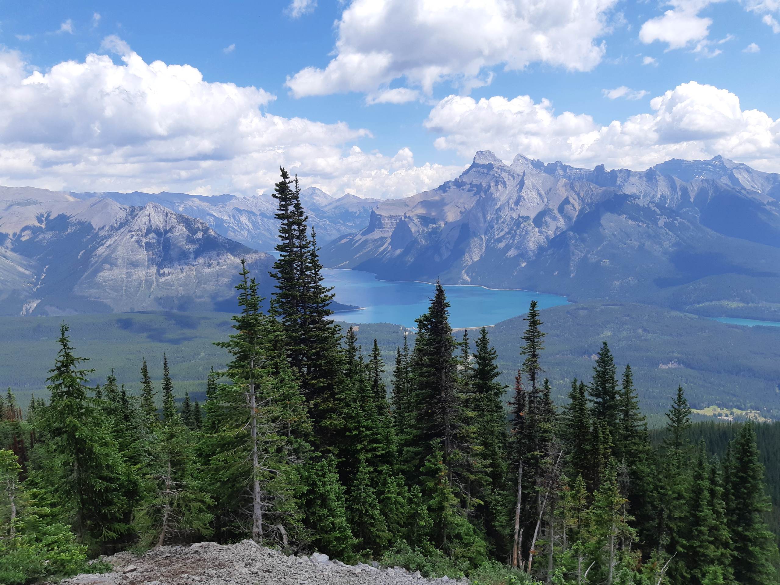
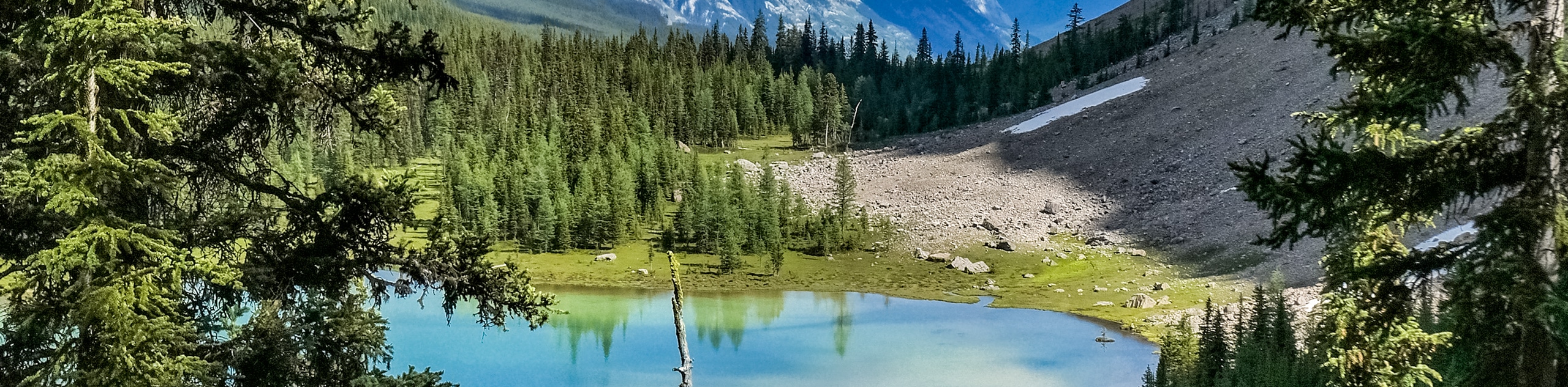
C-Level Cirque is in the Lake Minnewanka area just outside the Banff townsite. It is a unique hike that travels past some historic mine sites from the town of Bankhead. Hikers have the opportunity to explore some old buildings. This trail is graded as steep for a moderate hike and doesn’t offer many views until the final third. Leaving the forest, the views open up to a large basin on the side of Cascade Mountain. Watch for Pikas and Marmots as they are often hiding in the boulders. Hikers may choose to scramble up to the top for exquisite views of Minnewanka and surrounding peaks.
Getting there
To get to the C-Level Cirque Trailhead, from the Town of Banff, head East from Banff Avenue towards the Trans-Canada Highway. Banff Ave becomes Lake Minnewanka road as it passes under the highway. Continue on, passing the Lower Bankhead viewpoint on your right, and make a left turn to Upper Bankhead shortly after. From the parking lot, the trailhead is behind the restrooms by the picnic area.

About
| When to do | June-October |
| Backcountry Campsites | No |
| Pets allowed | Yes - On Leash |
| Family friendly | Yes |
| Route Signage | Average |
| Crowd Levels | Moderate |
| Route Type | Out and back |
C-Level Cirque
Elevation Graph
Weather
C-Level Cirque Trail Description
The C-Level Cirque trail is a great option for a moderate hike close to town. Hikers can continue on the Minnewanka Loop for some roadside sightseeing and lakefront viewpoints at Lake Minnewanka, Two Jack Lake, and Johnson Lake.
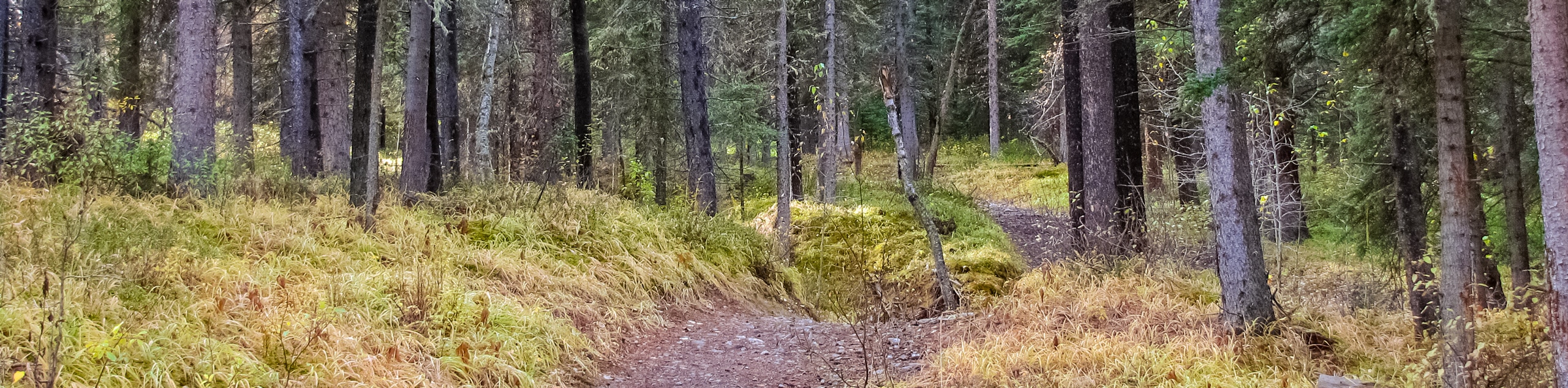
C-Level Cirque begins with a steady uphill grade that may seem discouraging at first. The trail is steadily steep until you reach the historic buildings, which is a perfect rest stop for some photos and exploration. As you continue to climb, the trail becomes quite rocky and rooty, so watch your step. This trail is simple as it gains elevation through the forest, carrying hikers through the woods, revealing quick glimpses of Minnewanka and the Town of Banff. Before you know it, you’ll emerge from the trees into a stunning subalpine basin full of boulders.
Watch for Marmots and Pikas as they scurry between the rocks; you might hear them before you see them! To the right is a trail that climbs steeply to the top of the basin. Many hikers choose to end their trip at the lowest point of the basin, enjoying a rest on the large boulders. If you choose to continue, you will be treated with stunning views of Lake Minnewanka to the East. For a moderate hike lacking a true summit, C-Level Cirque provides stunning portrait-worthy views with much less effort than some tougher peaks.
Insider Hints
Visit other sites along the Minnewanka Loop such as Lower Bankhead and Lake Minnewanka
Avoid the crowds by choosing this hike over Sulphur or Tunnel in town
Visit during larch season for beautiful contrast
Bring binoculars for wildlife viewing

Similar hikes to the C-Level Cirque hike
Rundle Riverside Trail
The straightforward Rundle Riverside trail is an easy to follow trail that connects Banff to Canmore. It is a great…
Tower Lake
The hike to Tower Lake is great for those who don’t have the time or energy to trek all the…
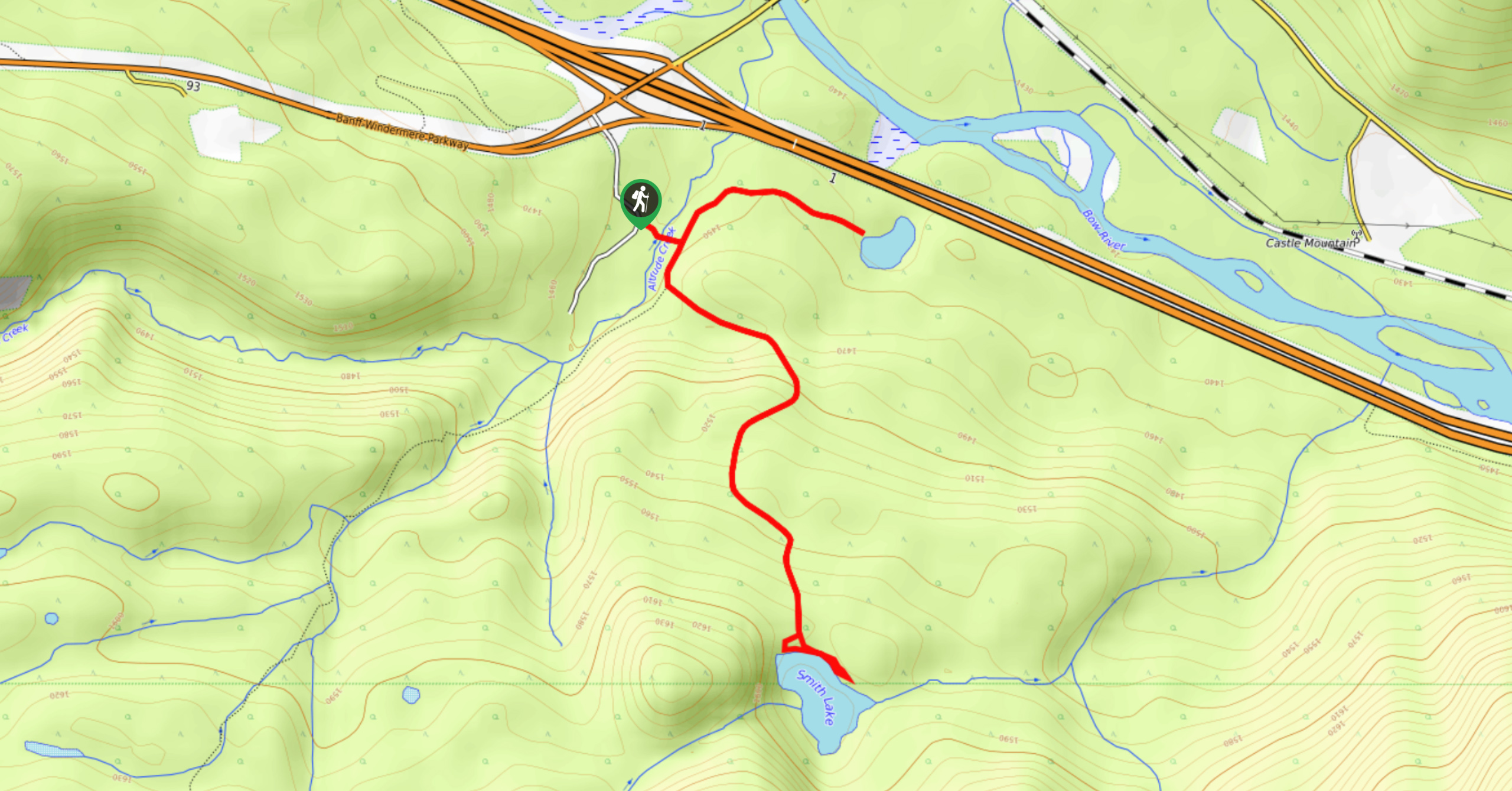
Smith Lake Trail
Smith Lake is an often-forgotten lake that is nestled in the forest at Castle Junction. It is a stunning green-blue…
Giedre 4 years ago
Did this hike a few days ago. The trail is rather easy but the views of Minnewanka are to die for! The bug spray is a must