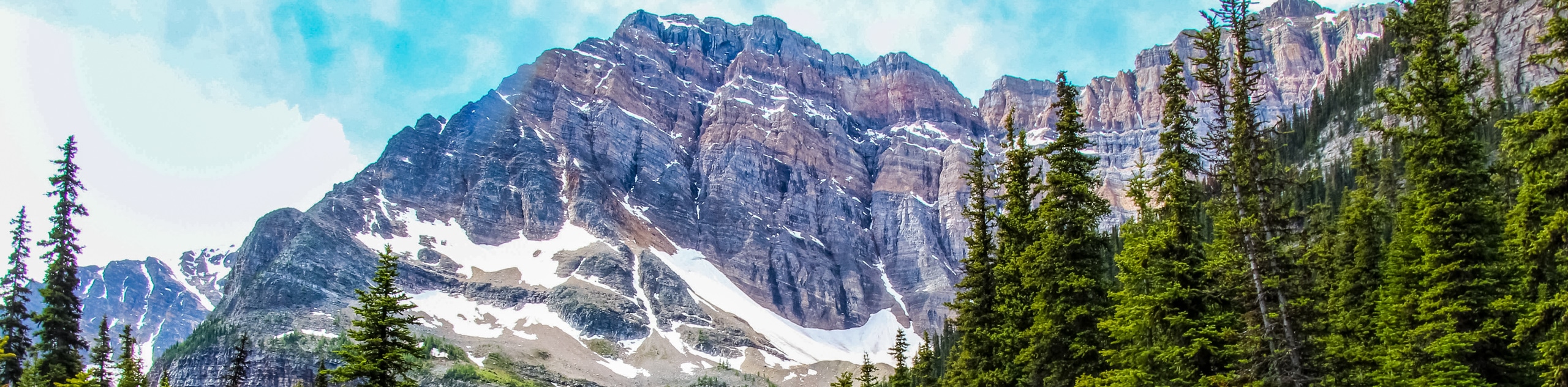
Aylmer Pass hike
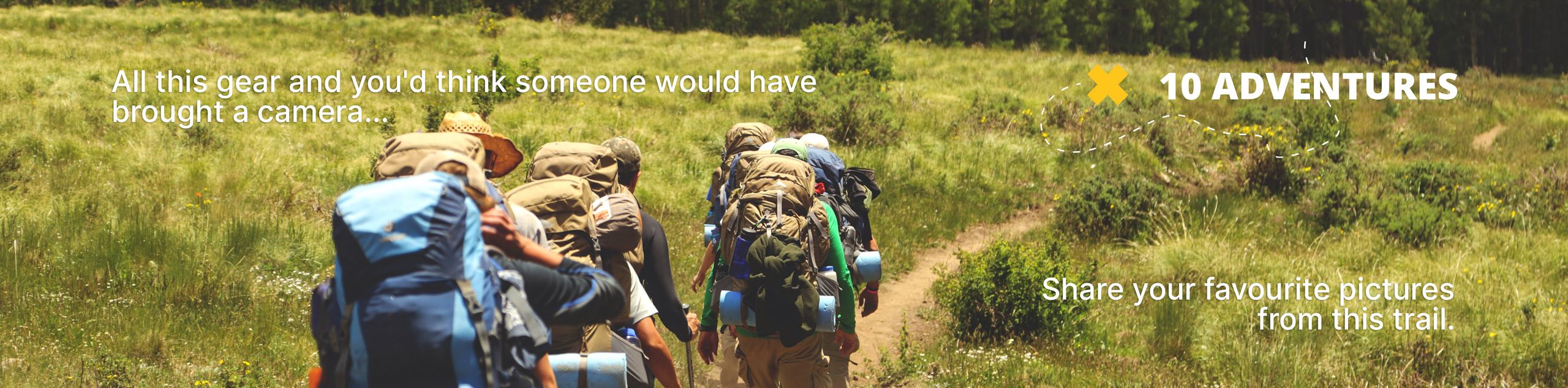
View Photos
Aylmer Pass hike
Difficulty Rating:
Aylmer Pass hike makes for a long day at almost 18.6mi, but half of that is done on the flat Minnewanka lakeshore. The lakeshore trail itself is incredible, with views of the turquoise waters below the trail. There is an option to stay at the backcountry campsite at Aylmer Junction to spread this hike out over a few days. Reach new heights above Lake Minnewanka at Aylmer Pass.
Getting there
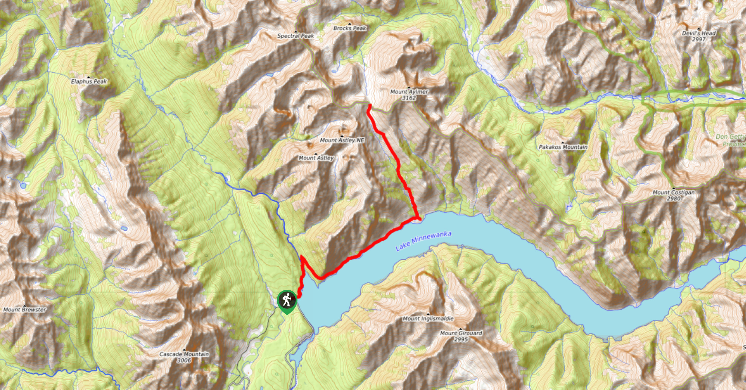
To get to Aylmer Pass, take Banff Avenue northbound from the Town of Banff, and continue on to Lake Minnewanka Scenic Drive. Stay left on the main road and continue until you come to signs for Lake Minnewanka. Turn left into the parking lot. Park here and follow the paved road with the sidewalk towards the lakeshore. You will come to a vehicle turnaround and a large trail sign. This is where the hike begins.

About
| When to do | June-September |
| Backcountry Campsites | Aylmer Junction (LM8) Parks Canada |
| Pets allowed | No (July 10-Sept 15) |
| Family friendly | No |
| Route Signage | Average |
| Crowd Levels | Low |
| Route Type | Out and back |
Aylmer Pass
Elevation Graph
Weather
Aylmer Pass Hike Description
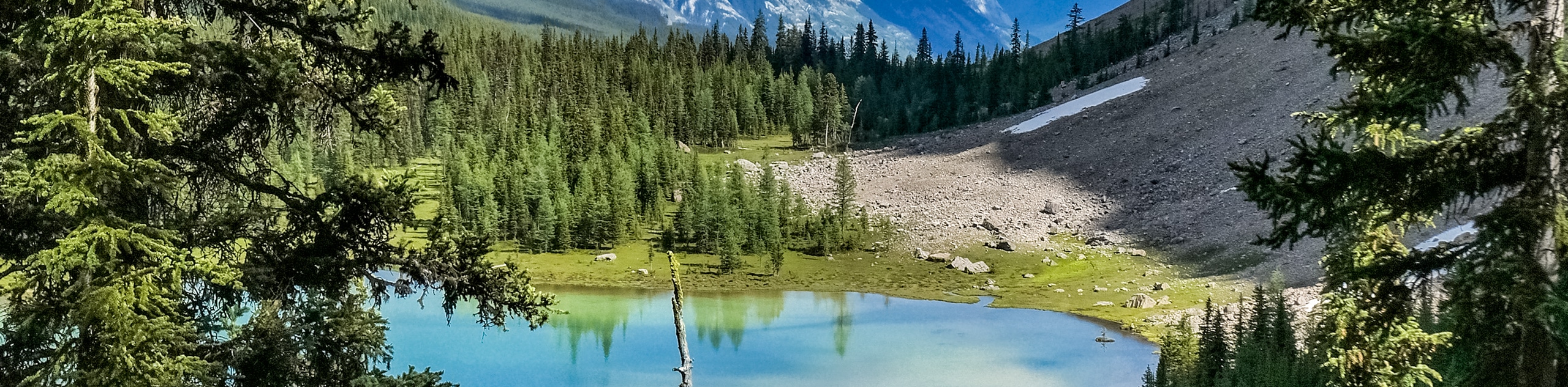
Hiking to Aylmer Pass is a big commitment, but it is worth it. Mount Aylmer rises above the Palliser Range at Lake Minnewanka to a height of 10374ft. It is a prominent peak and the tallest in the immediate area. Reaching the peak is a difficult scramble, but the pass is a more achievable option that still rises high above Lake Minnewanka for incomparable views.
Strong day hikers or runners can easily tackle this route in a day, but many others choose to book a site at Aylmer Junction (LM8) campground through Parks Canada’s reservation system. Booking a site allows hikers to break up the trail and complete Aylmer Pass without the out-and-back of the lakeshore all in one day. Whichever approach you choose, you won’t be disappointed with the views this hike offers.
When you park at Lake Minnewanka parking, you will pass a locked access gate on the road where the picnic areas are. Follow the paved road for 0.4mi until you reach the trail sign and kiosk. The road ends here with a turnaround and you will begin hiking along a dirt path through the woods. At 0.9mi, you will cross the Stewart Canyon bridge. There is a trail junction here that leads hikers to visit Stewart Canyon or to continue on the lakeshore trail. Stay right at the junction (left of the bridge) and continue through the woods.
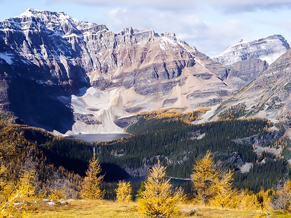
The trail climbs slightly here, but nothing too noticeable. It curves to the left through the woods and brings hikers back to the right towards the lakeshore. You will come to a stunning viewpoint at 3km before descending a small slope down to the lakeshore. Mount Inglismaldie will be in view here, towering above the stunning Lake Minnewanka.
The Nakoda people call Lake Minnewanka, Water of the Spirits, and have been visiting this area for over 10 000 years.
Enjoy the gentle grade of the lakeshore trail and lookout for bears! There is plenty of rich soil that encourages berry bushes to flourish on the banks of Lake Minnewanka. Don’t forget your bear spray!
At 4.8mi, you will reach Aylmer Junction. The campsite is 328ft ahead and off to the right where there are pit toilets and picnic tables if you need to rest here. You will take the trail left of the junction to reach Aylmer Pass. Stock up on water at the stream here before starting your strenuous uphill journey to the pass.
As you slog up the steep hill, you will come to a junction at 6.3mi. This leads to the Aylmer Lookout trail which is another 1.1mi to a popular viewpoint. You will continue uphill, despite having an urge to skip the climb and head to the lookout instead.
Continue climbing to Aylmer Pass (7497ft). The pass rests at 8.4mi into your journey and above treeline, making views of the lake below clear as possible. Views open up here and the faulted mountains of the Palliser Range create a dramatic backdrop to your panorama. Return the way you came.
Similar hikes to the Aylmer Pass hike
Tower Lake
The hike to Tower Lake is great for those who don’t have the time or energy to trek all the…
Twin Lakes
The Twin Lakes hike at the edge of Banff and Kootenay parks is an incredible trail that passes by four…
Healy Pass
The best hikes in Banff must include the hike up to Healy Pass. An exquisite hike, especially during Autumn with…
Comments