
Helagstoppen hike
View Photos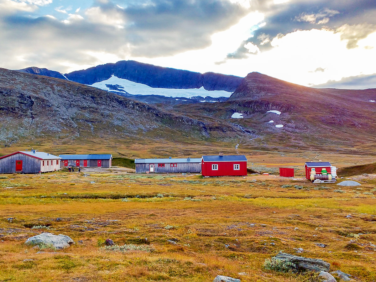
Helagstoppen hike
Difficulty Rating:
A majestic hike to the top of Sweden’s south glacier. Good chances to see mountain foxes and reindeers. This hike is second place on National Geographic best hikes in the world! If you hike it, you will understand why!
Getting there
Drive or take the bus to Ljungdalen and then go north to the Klappen parking lot (as named in Google) to start the hike. You’ll need to take a taxi to get to Klappen parking lot if you don’t have a car.

About
| When to do | Summer / Autumn |
| Backcountry Campsites | On Helags mountainstation |
| Toilets | Parking Lot and Mountainstation |
| Family friendly | No |
| Route Signage | Average |
| Crowd Levels | Moderate |
| Route Type | Out and back |
Helagstoppen
Elevation Graph
Weather
Route Description for Helagstoppen
The Helagstoppen hike officially begins at the Helags mountain station, however to get to the mountain stations is a 7.5mi hike from the Klappen parking. The route to the Helags Mountain station is a marked trail.
Our detailed route starts on the front side of the Helags mountain station, and initially travels over brooks and gangways.
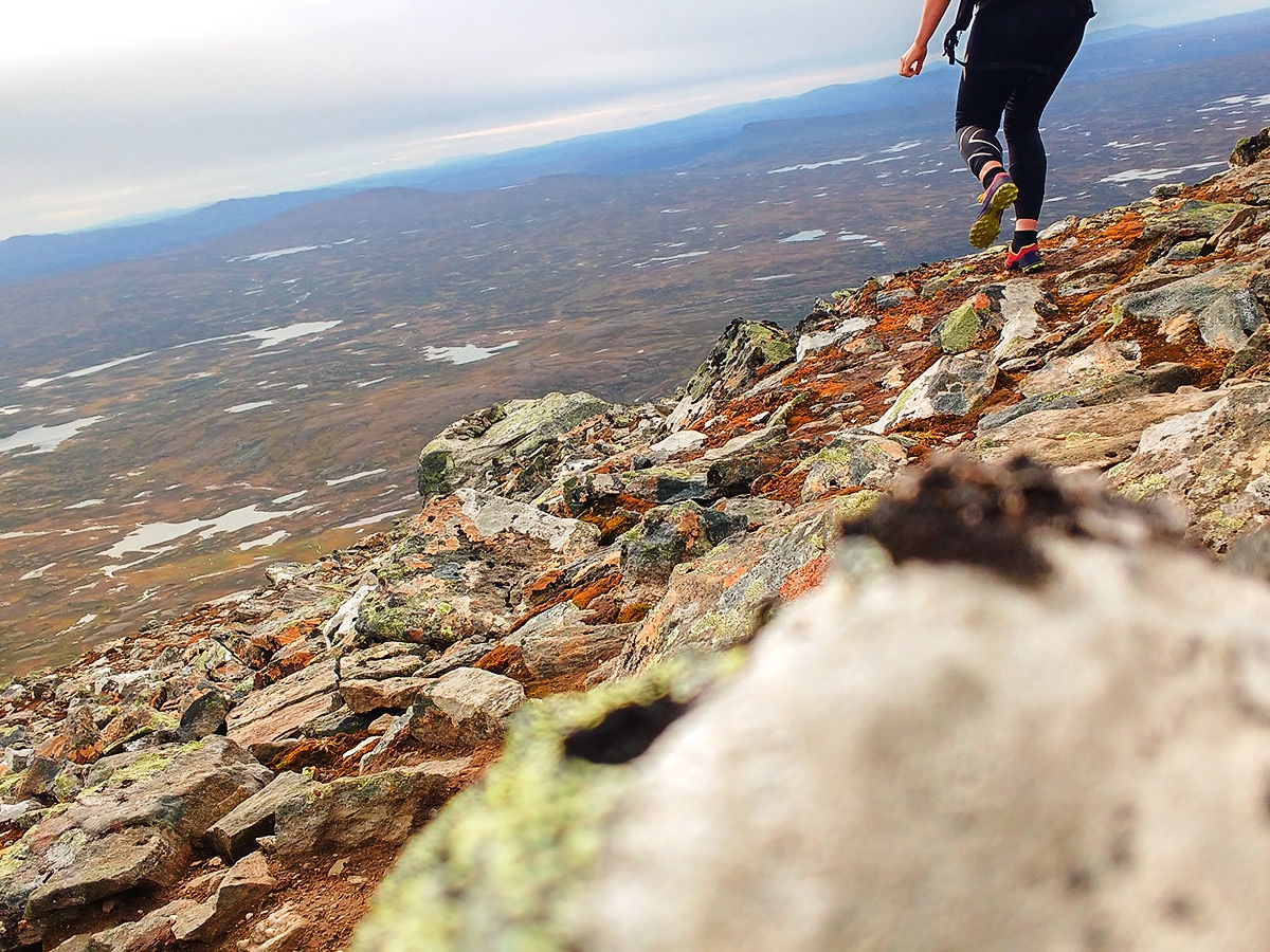
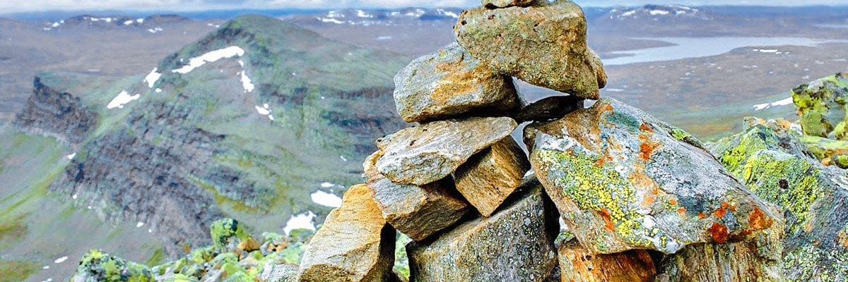
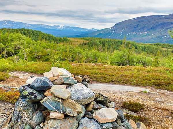
You will need to follow the orange dots on the stones as the route goes up a prominent ridge, all the way up to the summit of Helags. Along the way the last water station to fill the bottle is the third mountain river.
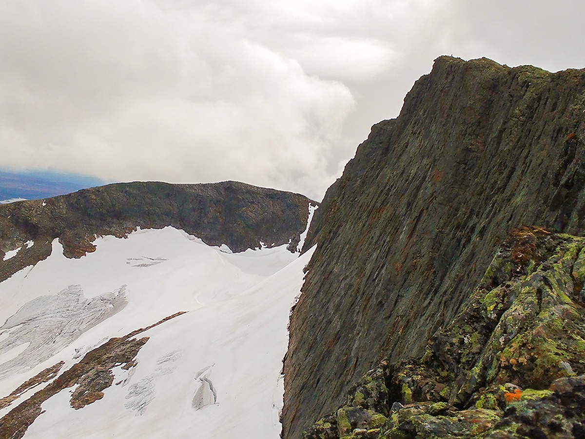
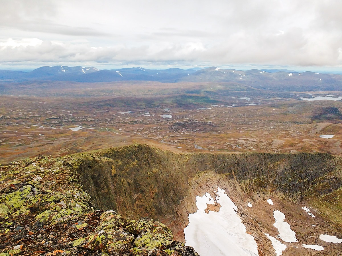
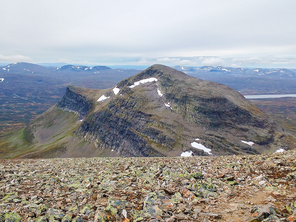
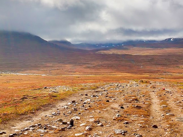
The trail is mostly gravel with a bit of larger rock pieces on the last bit up to the summit. Halfway to the right, you can see the southern most glacier in Sweden. To the left you see the mountains of Ljungdalsfjällen.
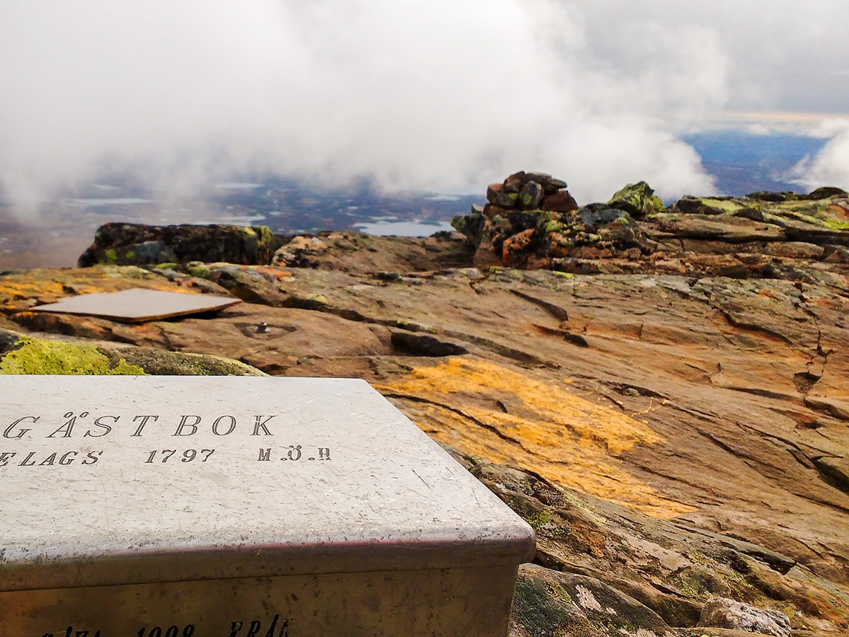
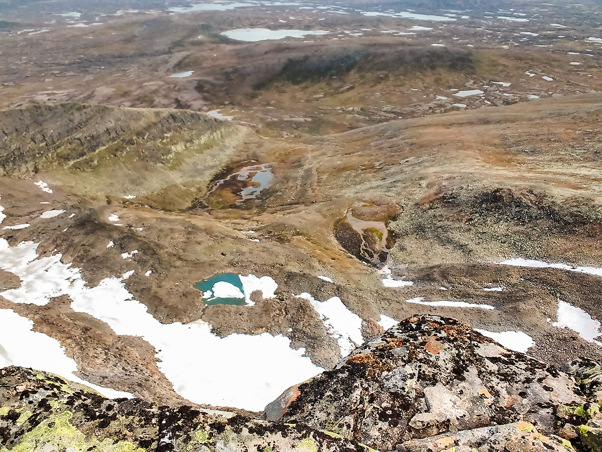
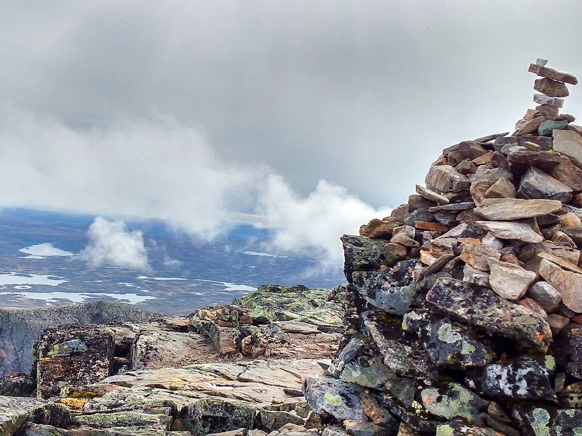
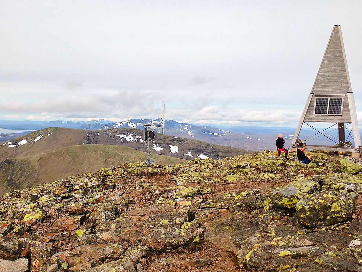
When you reach the summit of Helags you have a 360 view over the mountains in two landscape, Jämtland and Härjedalen. In the east you can see the mountain “Predrikstolen” that looks like Pride Rock from the Lion King movies.
Return the way you came, though there is an alternate route that goes down the other side of the mountain and is marked by cairns. The other route is steeper and suitable for more experienced hikers.
Insider Hints
You can change your return route for a bit of new scenery by following the cairns down the other side of the mountain - it is a little steeper but generally quicker.
Helags mountain station has a really nice three course dinner with local food. Book in advance because it´s really popular!
Helags mountain station also has guided mountain fox tours with really good chances to see the foxes.
If you want to keep hiking, check out the Sylarna mountain station. Then go to the mountain cabin “Gåsen” and then back to Helags to create a triangle route. This will be a multi-day journey.

Similar hikes to the Helagstoppen hike
Hållvallens chalet - Ottsjö
Hållvallens chalet is an easy and beautiful hike! It takes you from the old chalet over meadows, mires and through…
Platåleden- Hållvallens chalet
Platåleden- Hållvallens chalet is one of the most beautiful hikes for the ease at which it is done. This hike…
Storulvån-Sylarna
The Storulvån-Sylarna hike covers open landscapes, everywhere you look there are mountains, rivers with clear water, and good chances to…
Rainbow Rock 4 years ago
The views were the ephipany of jewel. It was nice to be there to experience it.
MIlenka Petrova 4 years ago
Perfect for wildlife enthusiasts! I saw some fox and reindeers! Good thing I had my camera!
Rooney D. 5 years ago
It was a windy trek with lots of steep sections. I do not recommend this to newbies.
Jed Alcantara 5 years ago
Great hike. My girl is so happy seeing the reindeers. It's her first time seeing them in reality. So it's a really memorable experience.
Pete Hollister 5 years ago
This arduous and exhausting hike is a great leg workout. The path was easy to follow and pretty straightforward. The orange dits on the stones were really helpful.
Finred O. 5 years ago
It was brutally windy at the top. But if you can bear with it, you can enjoy the beautiful views from the top. It's extremely worth it.
Lina Skipper 5 years ago
The overlooking views are fantastic, but I'm not a fan of the weather and the wind. I swear, I think it could blow me away!
Schneider D. 5 years ago
Nice landscapes and scenery. Better check the weather before going.
Lisa B 5 years ago
Wow, this hike was amazing! I saw some of the reindeer and can definitely understand why this is rated by NatGeo!
Cena Q. 6 years ago
The area is very open. There's not much trees or plants to see. There are few birds, but they just passed by.