Big Elbow Loop backpacking trail
View Photos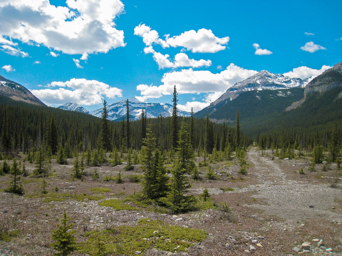
Big Elbow Loop backpacking trail
Difficulty Rating:
The Big Elbow Loop trip is a classic Kananaskis backpacking trip. This is an easy trip that takes you into country between Highway 66 and Highway 40. The Big Elbow backpack offers scenic campsites next to the Elbow River with wonderful scrambling opportunities near each site.
Getting there
Drive to the end of Highway 66 (about 40 minutes from Calgary). Park at Forget Me Not Pond or the Little Elbow Campground. Note Highway #66 is closed at Elbow Falls from Dec 1st to May 15th.

About
| When to do | Early June - October |
| Mountain Huts | No |
| Backcountry Campsites | Yes |
| Toilets | At trailhead |
| Pets allowed | Yes - On Leash |
| Accommodation Type | Tent |
| Family friendly | No |
| Route Signage | Good |
| Crowd Levels | Moderate |
| Route Type | Circuit |
Big Elbow Loop
Elevation Graph
Weather
Route Description for Big Elbow Loop
We love backpacking the Big Elbow Loop, and it’s a great route without too much elevation gain. If you’re looking to progress from a single overnight trip to a couple of nights, then this is a great option.
Day 1
Start at Forgetmenot Pond, just off of Highway 66, near Bragg Creek.
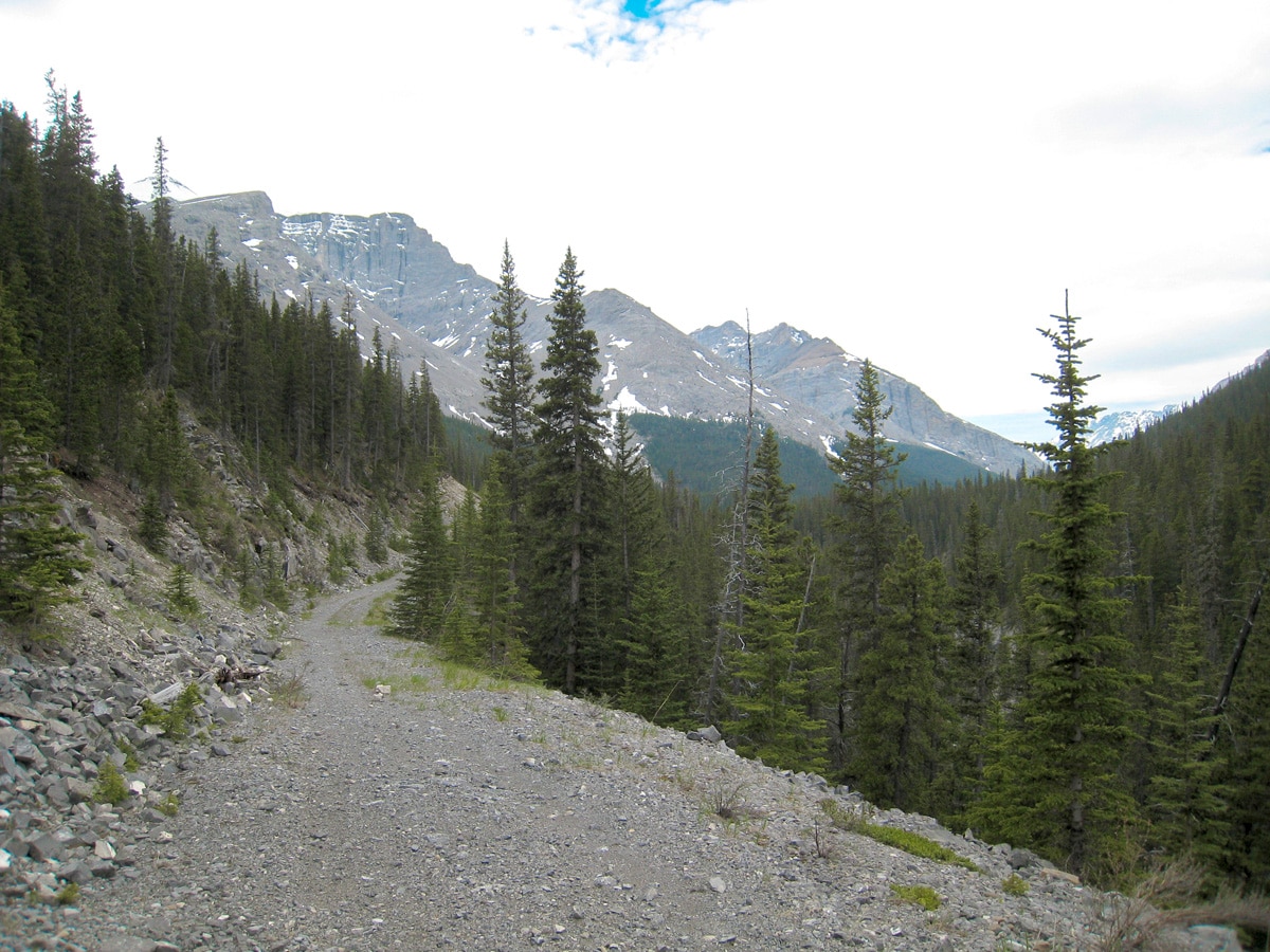
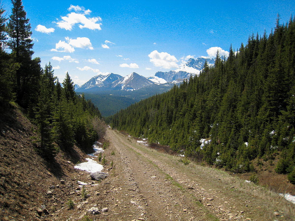
The trail to Romulus Backcountry Campground is mostly along an old fire road, which makes for a wide and easy pathway. The route is just under 7.5mi, and only gains 574ft of elevation gain. This is an easy day even with a heavier pack.
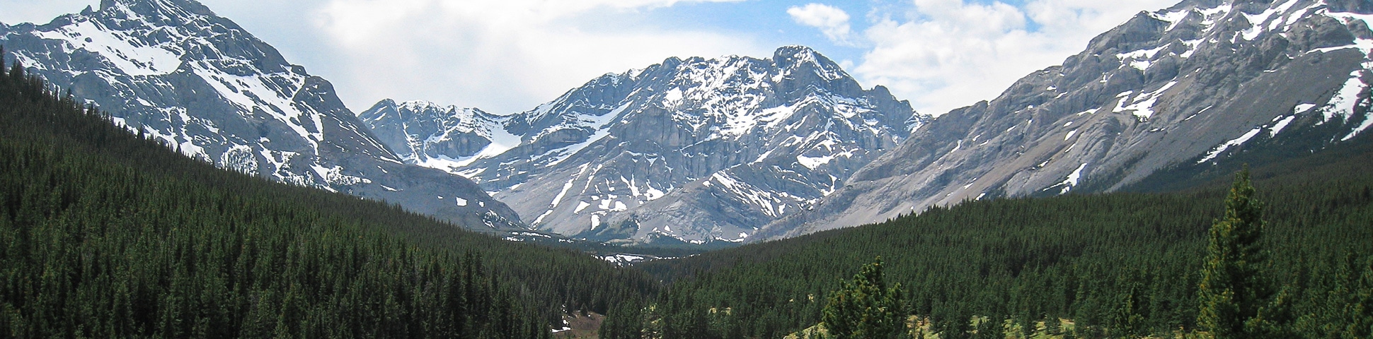
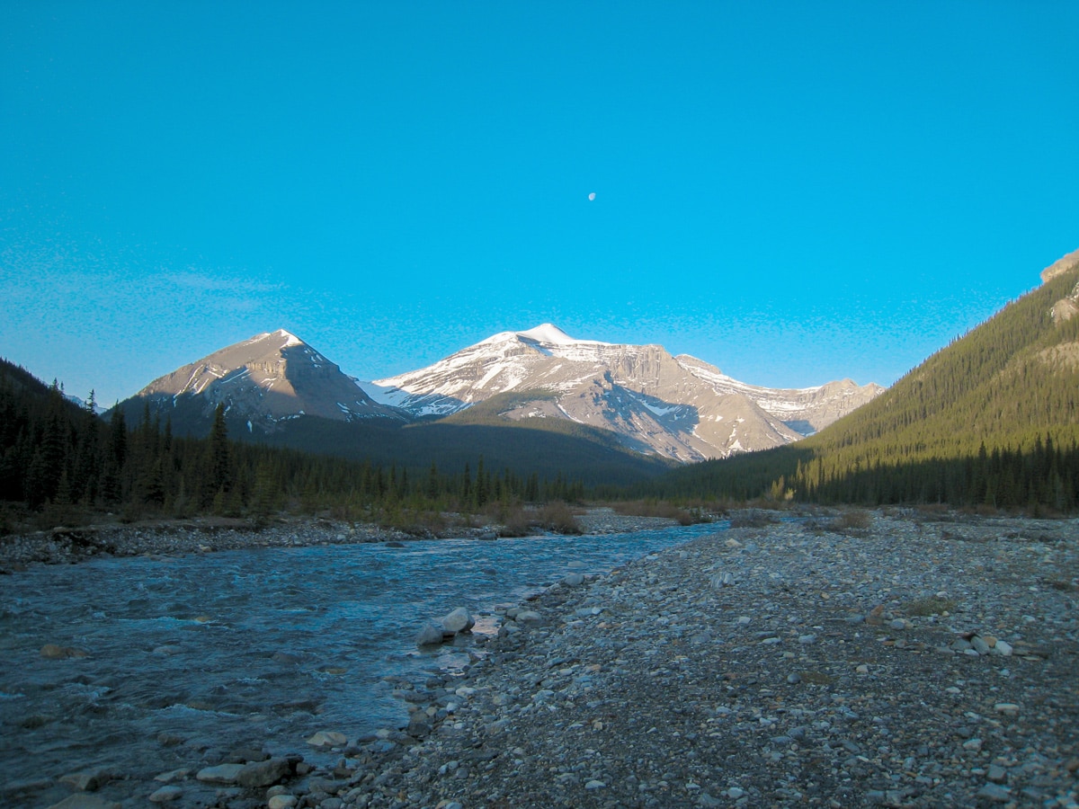
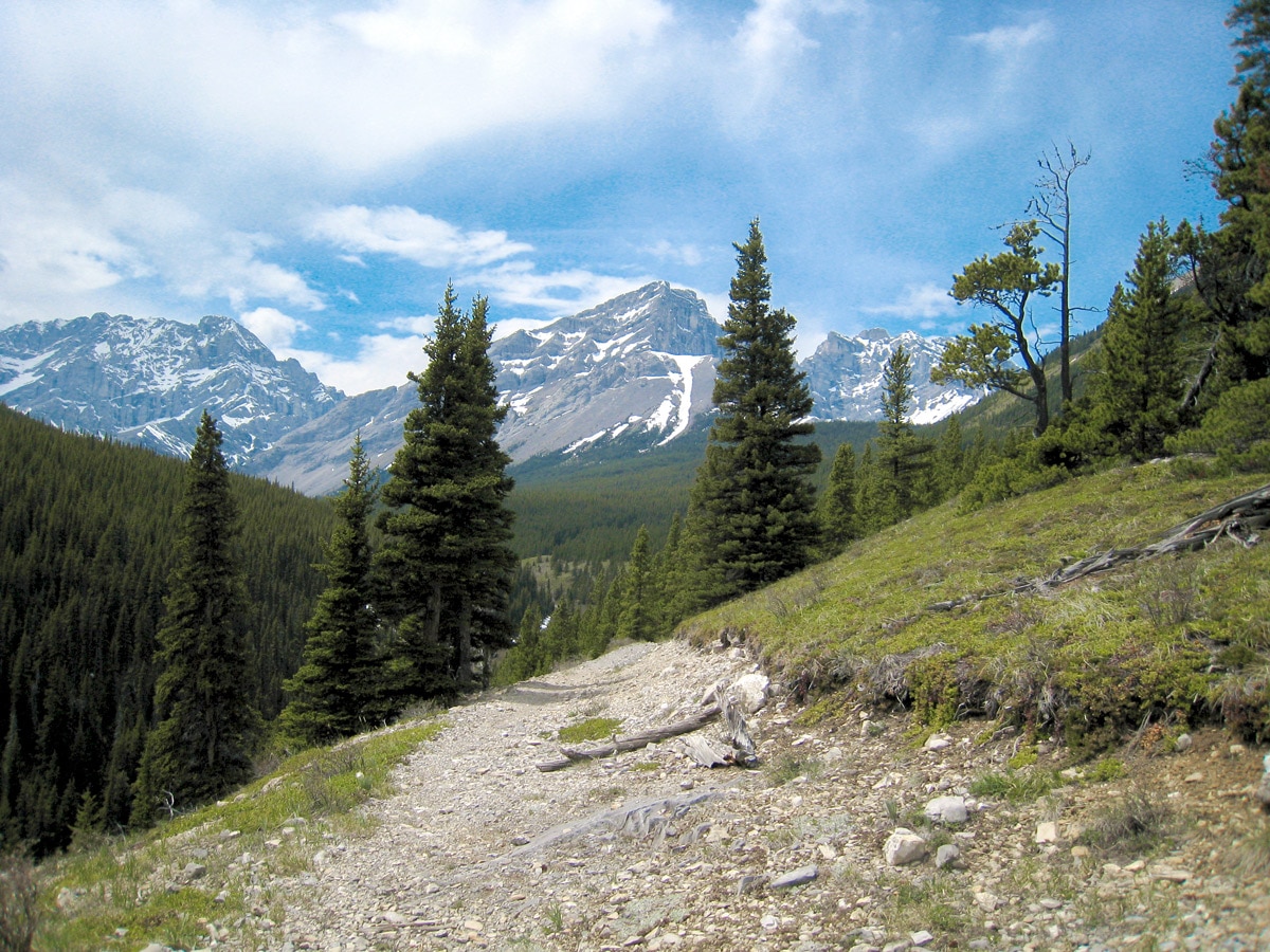
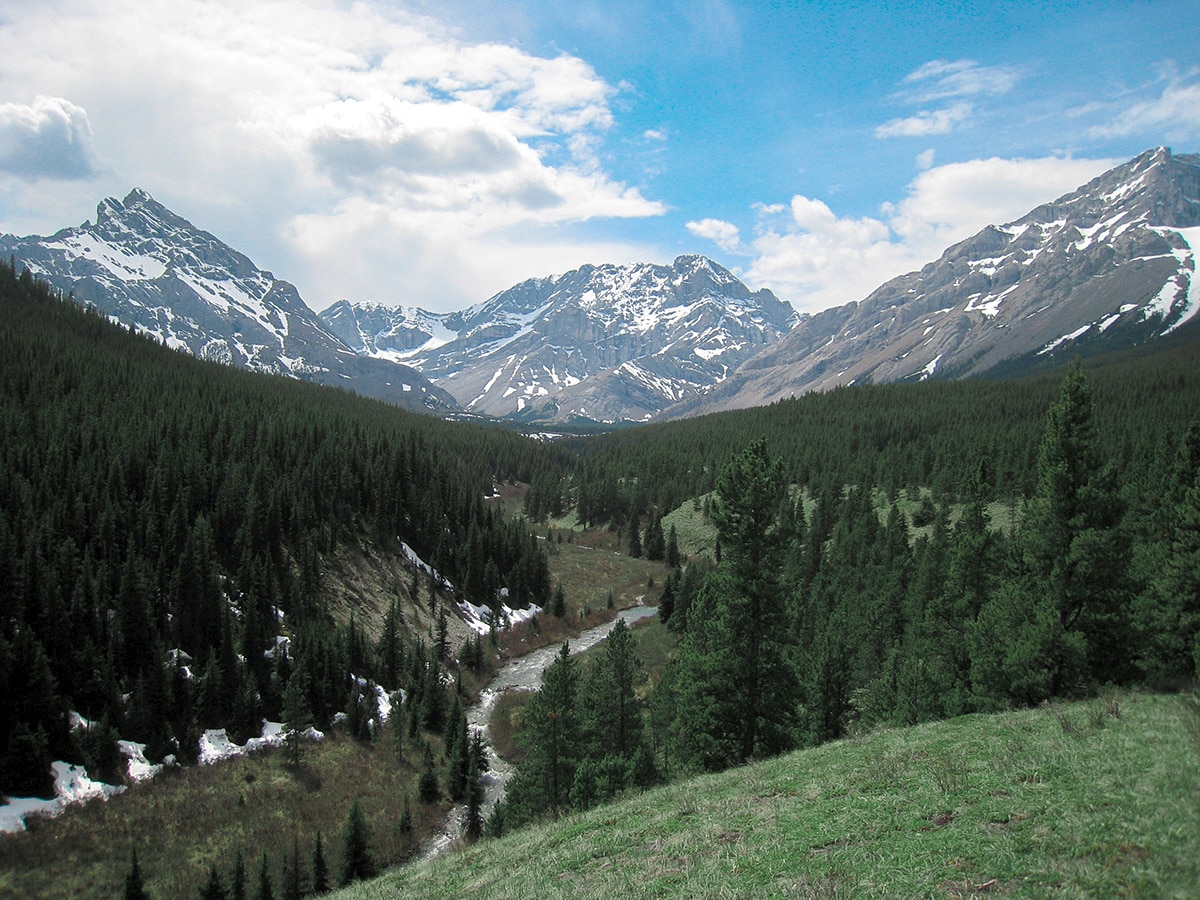
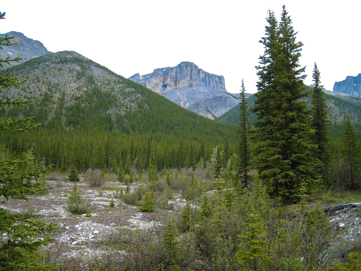
While this is a lovely walk in the woods, there are truly amazing views along this section of the trail.
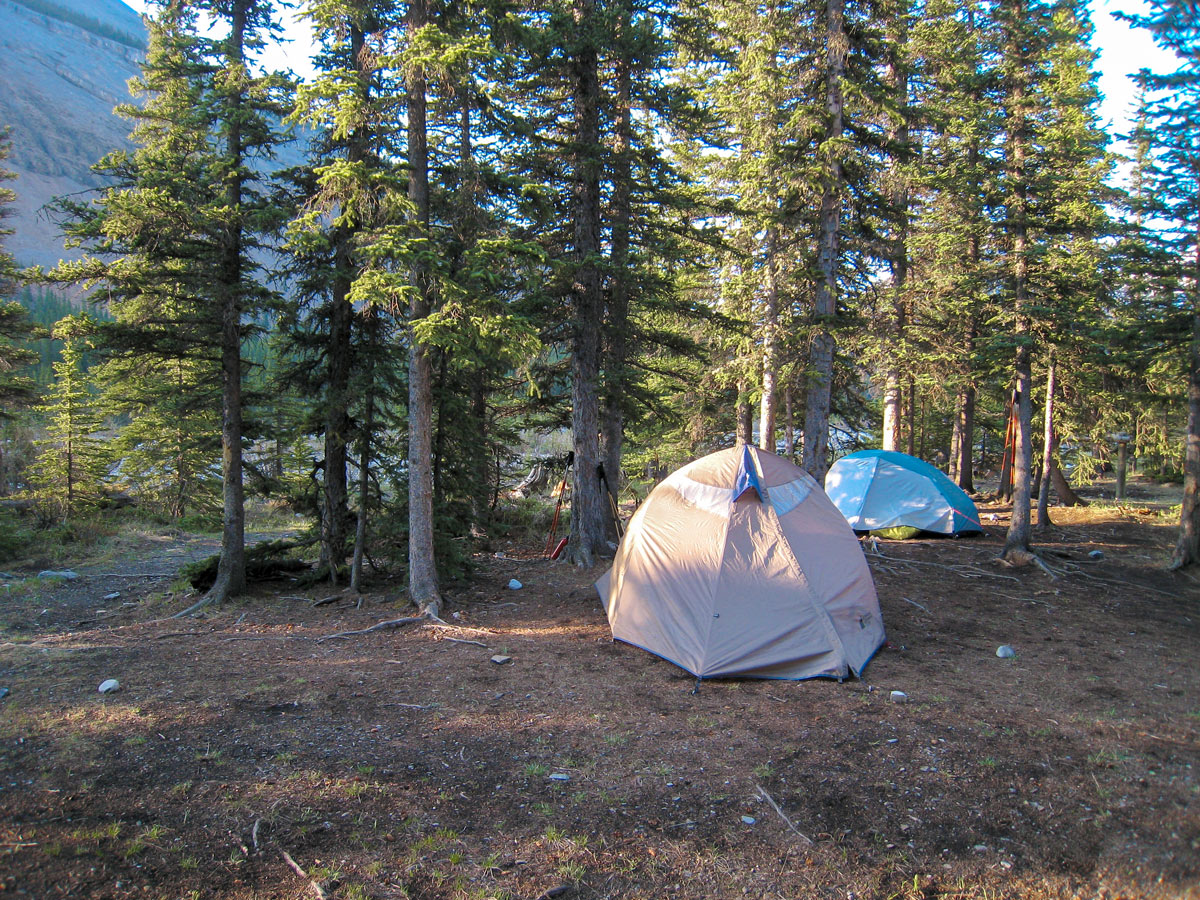
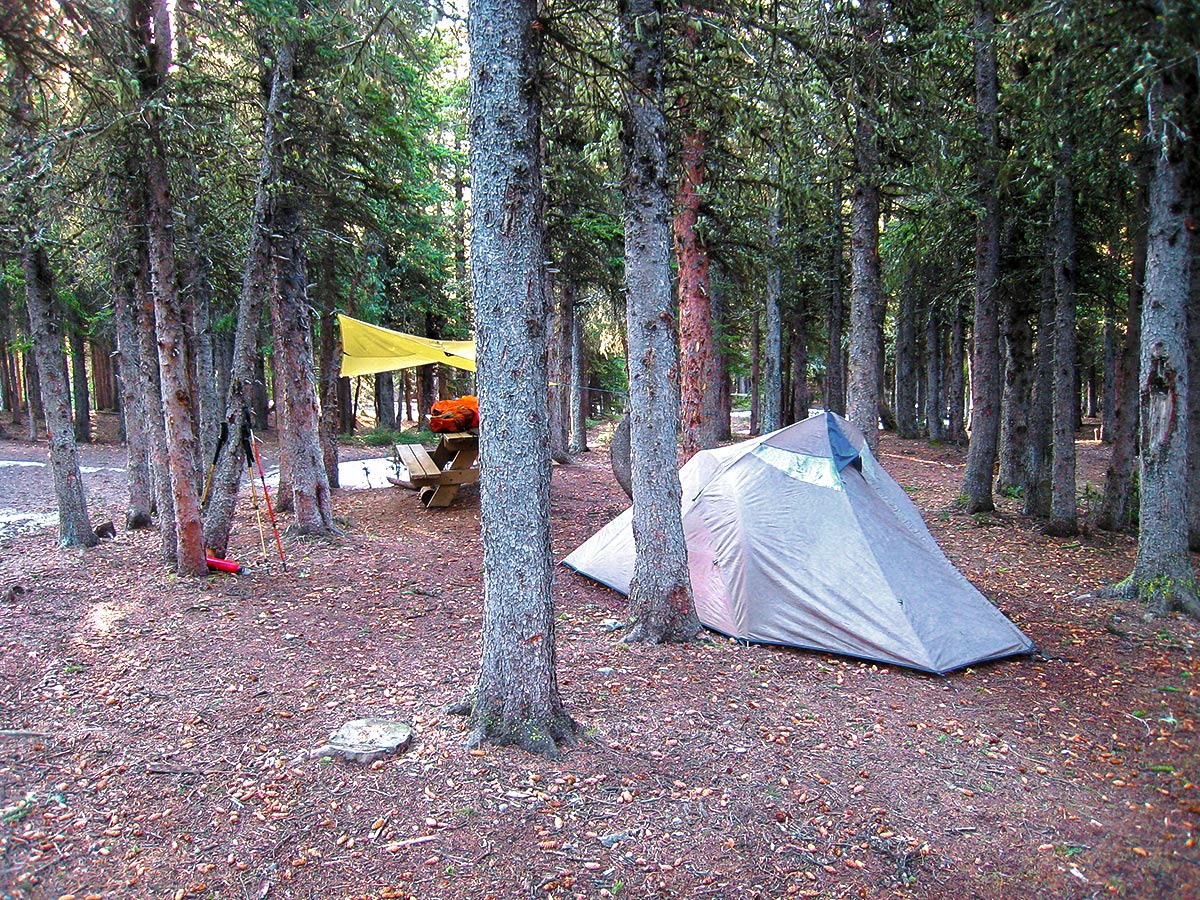
Before you know it, you reach Mount Romulus Backcountry Campground. This is a nice campground, with 10 campsites, pit toilets and firepits. You are required to have a permit and a reservation for this campground.
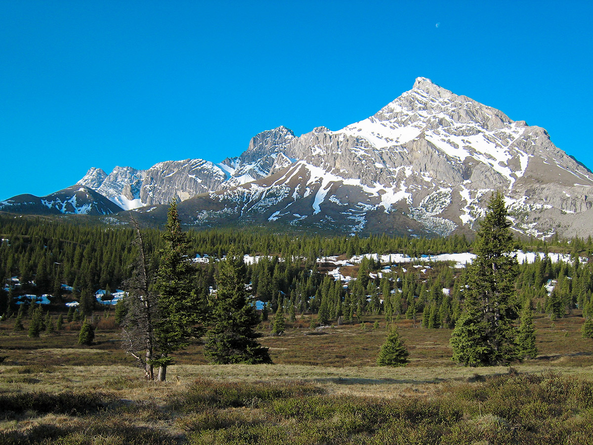
If you have time today, consider the scramble up Mount Romulus. This scramble is rated as moderate, but know that this route requires a chilly ford across the Little Elbow River The route up Romulus is about 3.4mi each way, and you’ll gain 3543ft on the way up!
** It is important to note that this section of the trail is being upgraded and under construction, which means you will likely encounter large machinery. However, this does not impact the Romulus Campground.
Day 2
Today you are making your way to Tombstone Backcountry Campground, which is located at the intersection of Little Elbow and Big Elbow trail, about 10 km from the Romulus campground. You are also only 4.7mi from the Elbow Lake Trailhead on Highway 40.
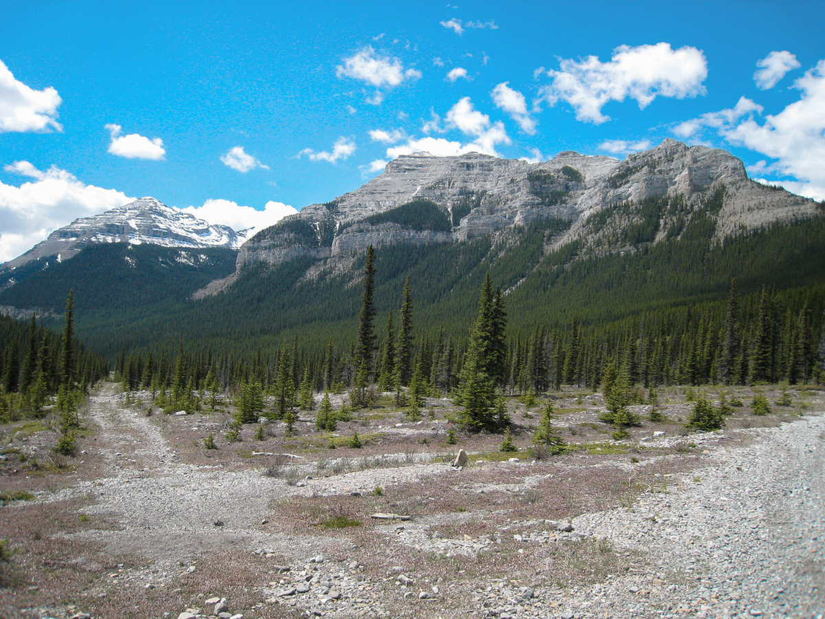
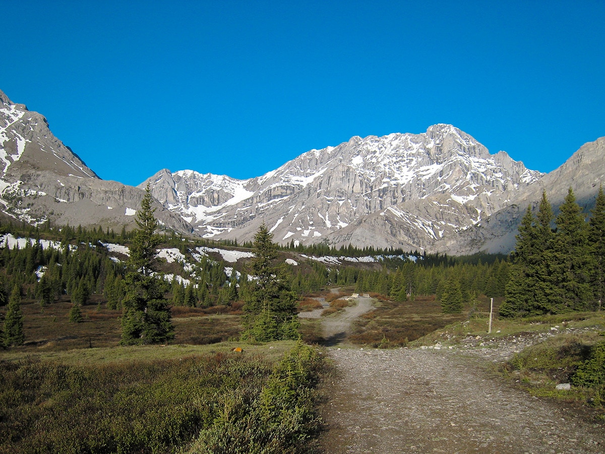
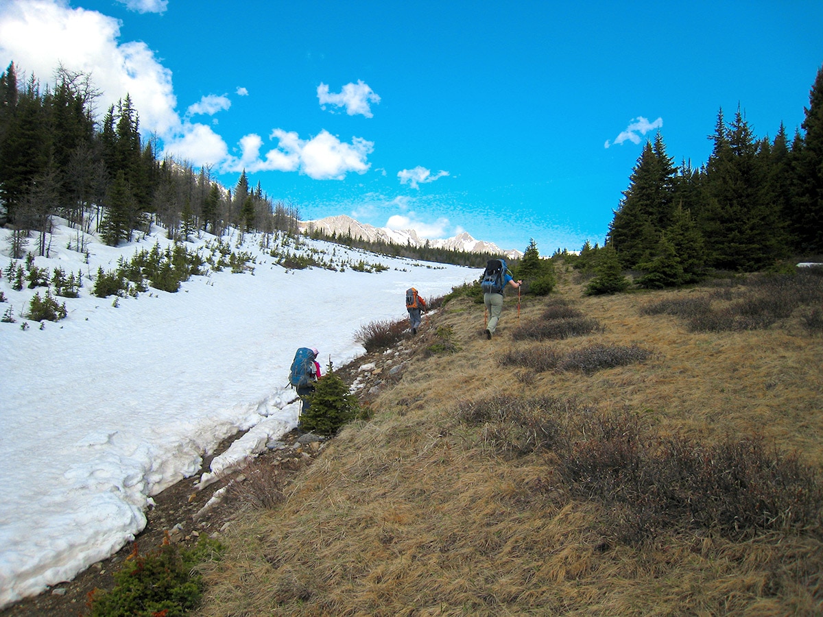
This section gains a bit more elevation than the first day. The trail is a steady uphill for most of the way, on a very clear route.
Tombstone Backcountry Campground is an equestrian campground equipped with tent sites, fire pits, hitching rails, pit toilets and secure food storage lockers.
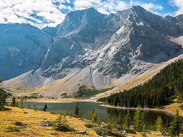
There is an excellent and short day-trip from here to the Lower and Upper Tombstone Lakes, which is about 2.5mi return. It makes for an excellent afternoon, and if you have a fishing license, the Upper Lake is full of trout!
Day 3
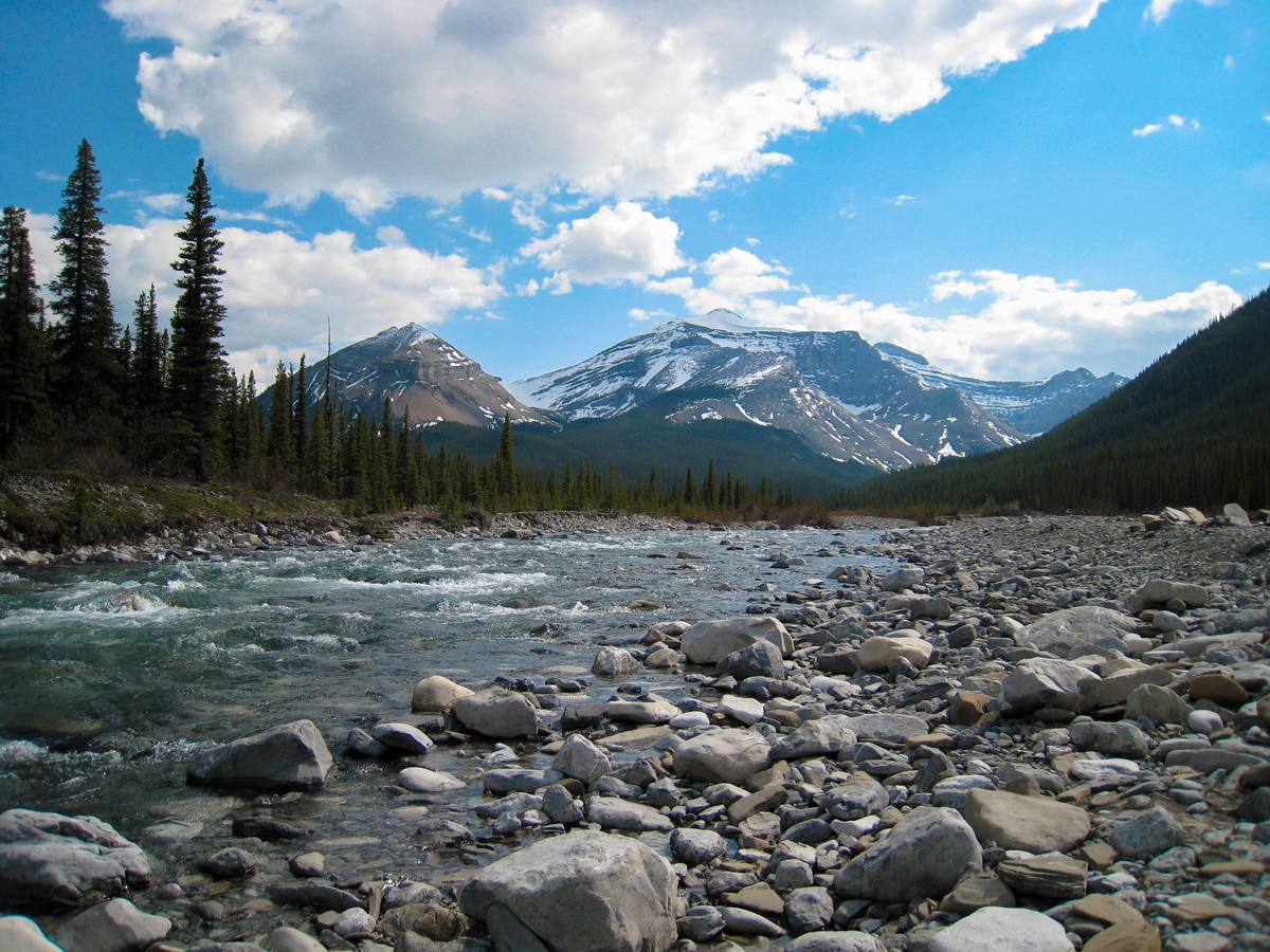
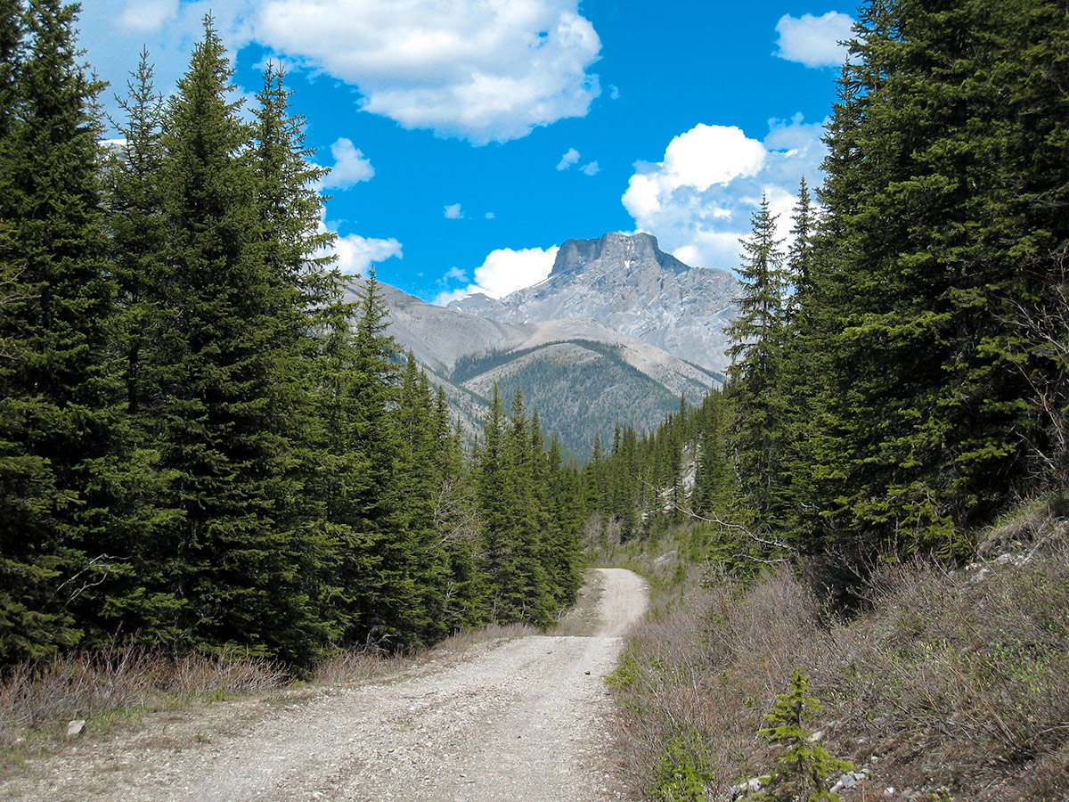
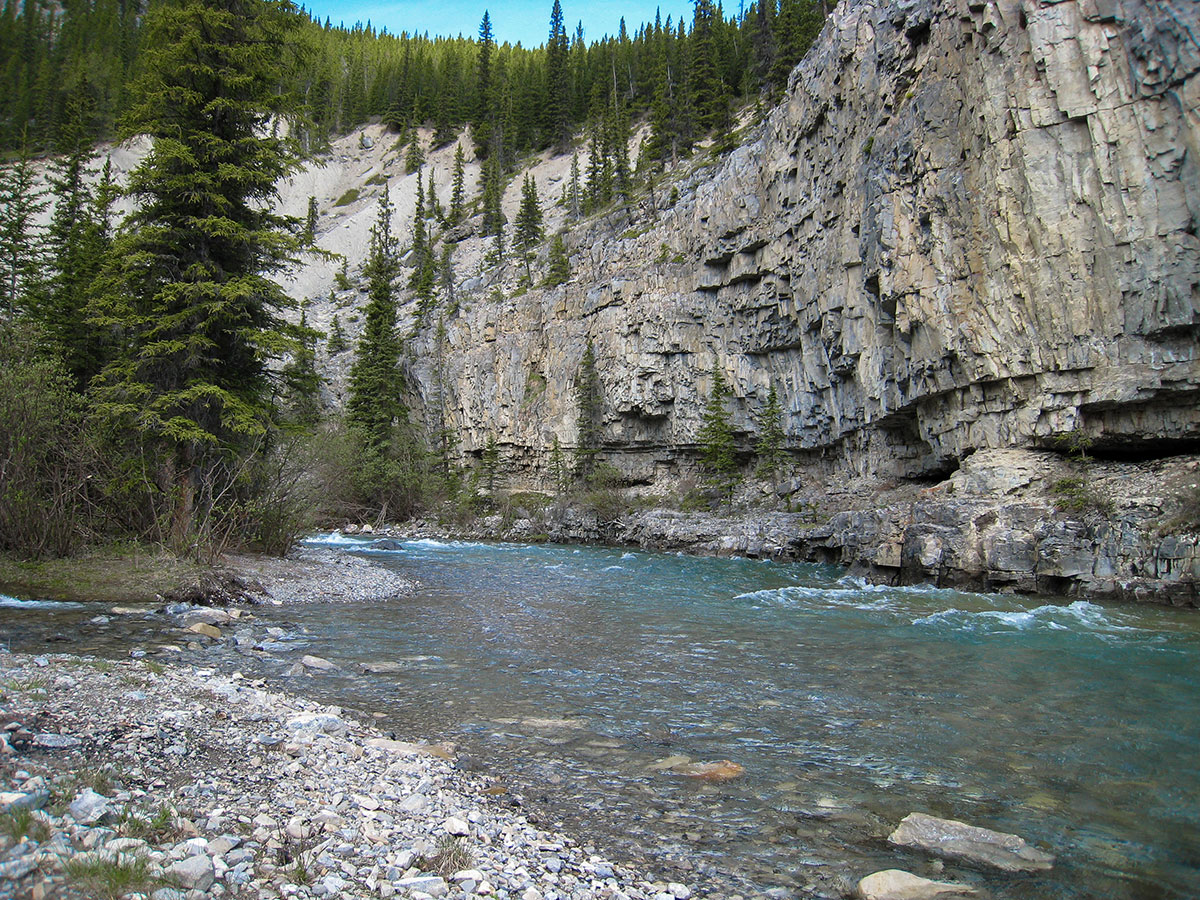
Your final day will take you back to the trailhead over 12.4mi and 604ft elevation gain. You also drop 1312ft at the end of this route. The route is very clear as you follow the Elbow River North.
While some people do the Big Elbow Loop with this as the first day, we think that ending with the hike from Tombstone Lakes Backcountry Campground to the trailhead makes more sense, as your pack will be lighter and you go down 1312ft instead of having that be a 1312ft ascent.
It is important to note that there is a bridge out before Big Elbow Campground and therefore a river ford is required. Other than that, this is a pretty nice hike out to end a great trip!
Sample Itinerary:
Day 1: Trailhead to Romulus Backcountry Campground (7.7mi / 827ft)
Day 2: Romulus Backcountry Campground to Tombstone Backcountry Campground (6.2mi / 1450ft)
Day 3: Tombstone Backcountry Campground to Trailhead. (12.4mi / 604ft)
Insider Hints
This is an extremely popular route for bike-packers so be prepared to encounter many on your trip.
There was construction occurring on parts of this trail in 2018. It is not clear whether there will be more construction in 2019.
Make your reservations beforehand on the AlbertaParks website.

Similar backpacking trails to the Big Elbow Loop backpacking trail
Elk Lakes and Petain Basin
Petain Basin, just past Elk Lakes, is a wonderfully remote and isolated meadow lying at the base of some of…
Rae Lake
Rae Lake is often completed as a day-hike, however it is a great place for a quick backpacking trip. Lying…
Tombstone Lakes
Resting at the base of jagged Tombstone Mountain, the Tombstone Lakes are a spectacular sight, and the journey to them…
Giedre 4 years ago
Did this backpack just a week ago! I loved every part of it. The first-day walk is rather short (3 hours I guess?) and the route was rather boring, but the Mt. Romulus campground is absolutely lovely place to be. I'd go there again just to spend a few days in that campground, as there are a few nice day hikes around: Mt Remis, Mt Romulus (which was a bit overgrown) and a couple more. The second day has some nice views and is mainly ascending, but it's quite easy as the elevation gain is rather mellow. The Tombstone Campground felt like a crossroad where many hikers meet heading to different directions. There are numerous beautiful hikes you can do from this campground (Elbow Lake, Tombstone Lakes, Piper Pass, Elbow Pass, Rae Lake, might be more) so I'd definitely spend more than one night here. The last day was my favorite one! The most important thing here was not to forget to look back while walking along the Big Elbow, as the most beautiful views were right behind us. This day is rather challenging, but the only challenge here is the length, not the terrain. Those who don't want to walk 20 km in one day can book a night in Big Elbow Campground which is halfway the route. Overall, a lovely backpack. It felt more like a nice cruising in the beautiful expansive meadows, than challenging hike over the passes and rough terrain. Such a nice change!
Aaron P. 4 years ago
Beautiful. Not too technical or difficult. Great hike in spring!
Emma Tree 4 years ago
It took us less than 3 hours to explore the whole area. That includes few stops along the way to take pictures.
Jeremy R. 4 years ago
We enjoyed a sunny walk here. The views were fine, but not that outstanding. It's accessible so better see it for yourself.
Linby SK. 5 years ago
A family friendly hike. It's a scenic, easy hike that leads to a backcountry campground. The trail follows an access road with very gradual elevation change, making it a family-friendly outing that’s shoulder season-friendly.
Meng Hin Jai 5 years ago
Fairly straightforward hike. The route signage was clear and well maintained. Very easy to do. Kids friendly as well.
Harry S. 5 years ago
The trail follows a wide road, so there’s nothing technical or difficult about it. The view at the summit is superb. You can also take photos while traversing the path.
Mike Constance 5 years ago
Don't worry if it's a bit cloudy. This hike is still worth doing. My kids enjoyed running around. Very easy and safe, but you still need to watch out for the rocky trail.
Haffy K. 5 years ago
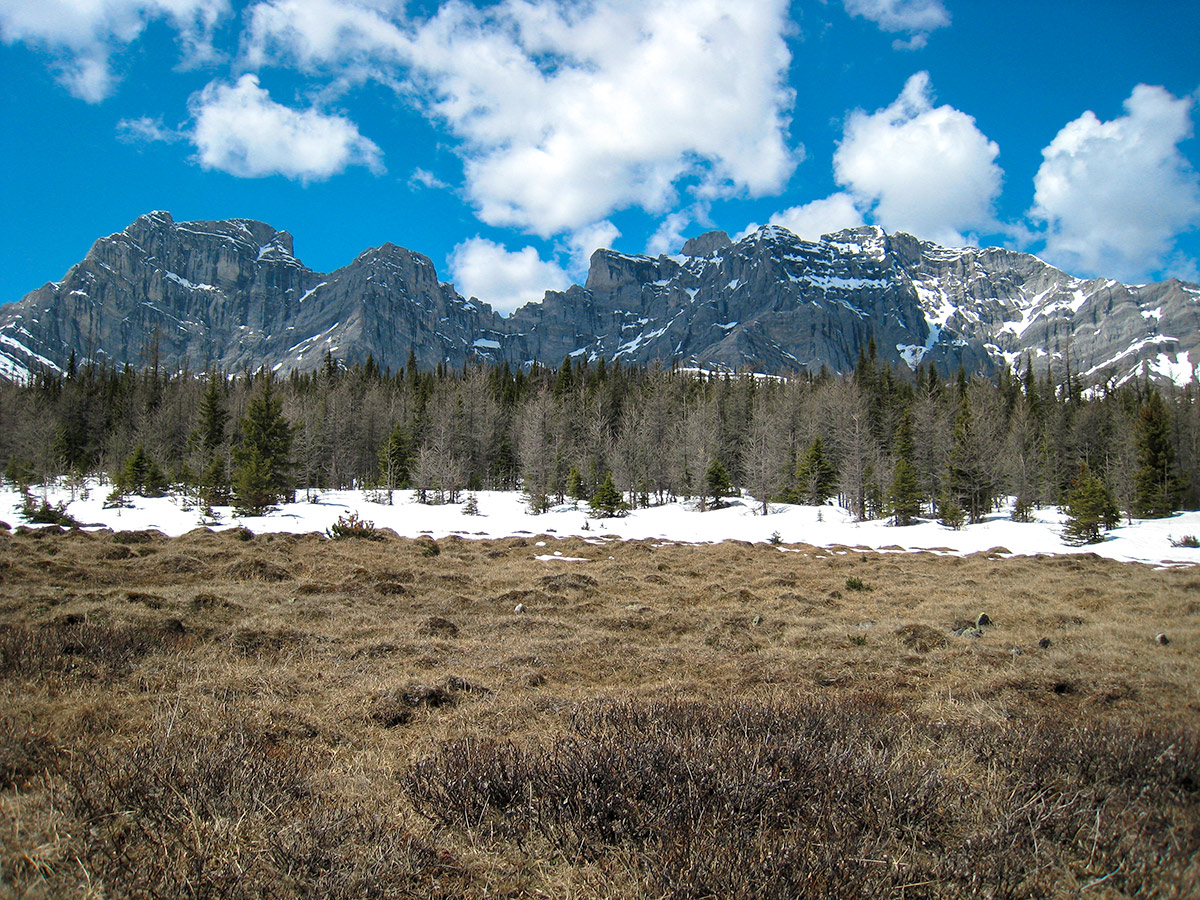
The views of Threepoint Mountain and Banded Peak are breathtaking. Refreshing view of the river. This is a great hike in spring and fall because of the low elevation.