

Bluebird Lake via Highline Trail
View PhotosBluebird Lake via Highline Trail
Difficulty Rating:
The Bluebird Lake via Highline Trail is a marvelous adventure in the Kootenai National Forest that begs your exploration. This relentless climb into the high country progresses through lush woodlands and meadows alongside meandering creeks to the shoreline of an idyllic alpine lake.
Getting there
Embark on your journey from the Highline Trailhead off the National Forest Development Road 319.
About
| Backcountry Campground | Dispersed Camping |
| When to do | May-September |
| Pets allowed | Yes - On Leash |
| Family friendly | Older Children only |
| Route Signage | Average |
| Crowd Levels | Moderate |
| Route Type | Out and back |
Bluebird Lake via Highline Trail
Elevation Graph
Weather
Bluebird Lake via Highline Hike Description
Immerse yourself in Montana’s unspoiled wilderness and hike amongst a diversity of flora and fauna on the Bluebird Lake via Highline Trail. This epic expedition into the alpine demands a modest effort—through intermediate explores and families with older children should be able to easily manage. The terrain is quite rocky, so make sure you wear a sturdy pair of footwear to avoid a rolled ankle. Note this trail progresses through the bear country—at least one person in your group should carry a can of bear spray in the unlikely instance of an encounter.
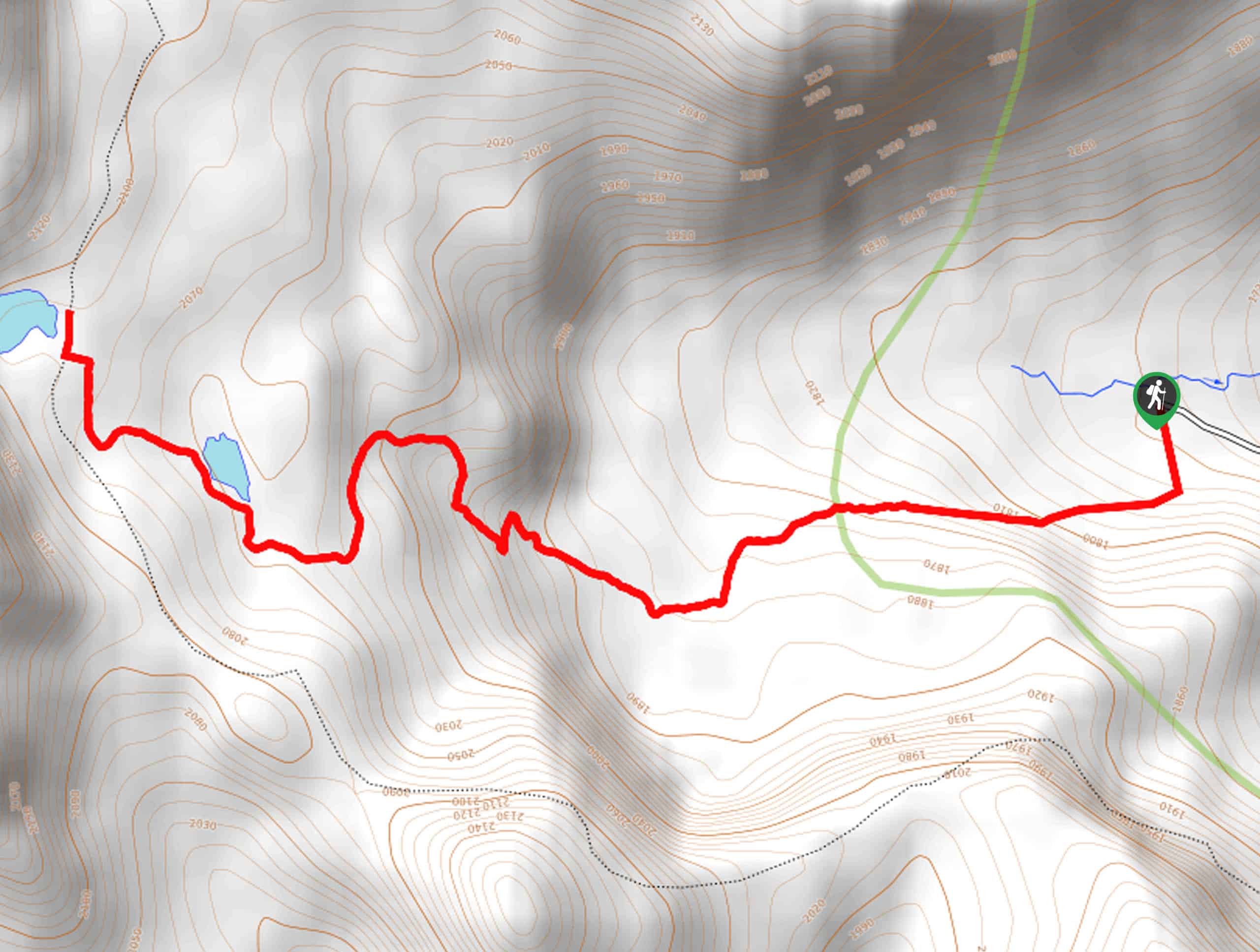
Setting out from the Highline Trailhead off National Forest Development Road the Bluebird Lake via Highline Trail enters the timbered mountainside. Immediately climbing, the route travels westwardly, wandering through the shaded canopy of pines and cedars. After some hiking, you will reach Paradise Lake, bound by a lush meadow—where you may spot some waterfowl. Soon after departing the lake, you will confront an intersection with the Pacific Northwest Trail, turn right here and trek north up to Bluebird Lake.
Admire the scene of the crystal-clear pond and the flanking ridges, and the interrupted views of the surrounding mountainscape through the tree breaks.
Similar hikes to the Bluebird Lake via Highline Trail hike

Northwest Peak Trail
Located in the far northwestern corner of Montana in the Kootenai National Forest, the Northwest Peak Trail is quite a…

McGuire Mountain Trail
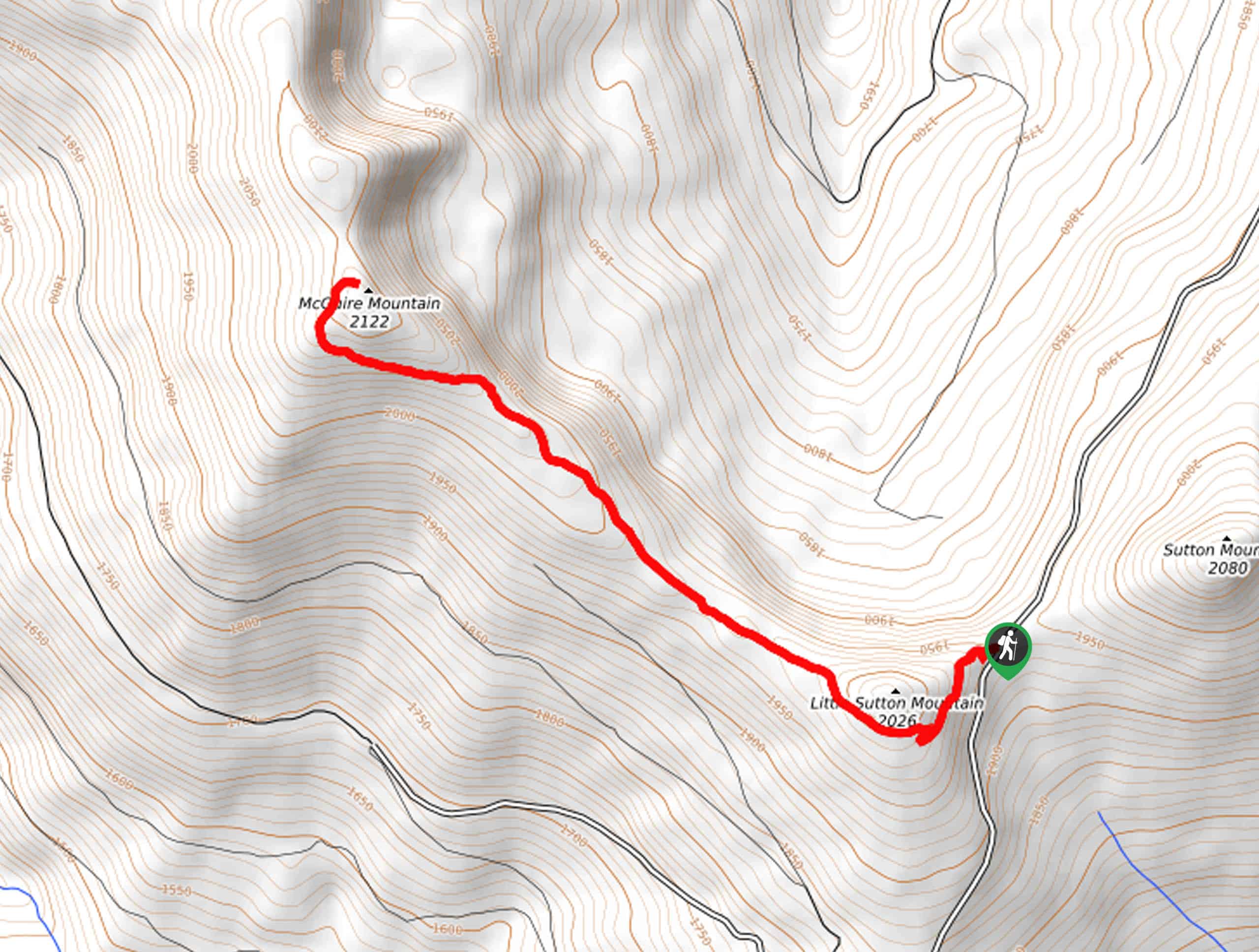
The McGuire Mountain Trail is an excellent adventure that is worth adding to your hiking itinerary. Wander through lodgepole pine…

Big Spar Lake Hike
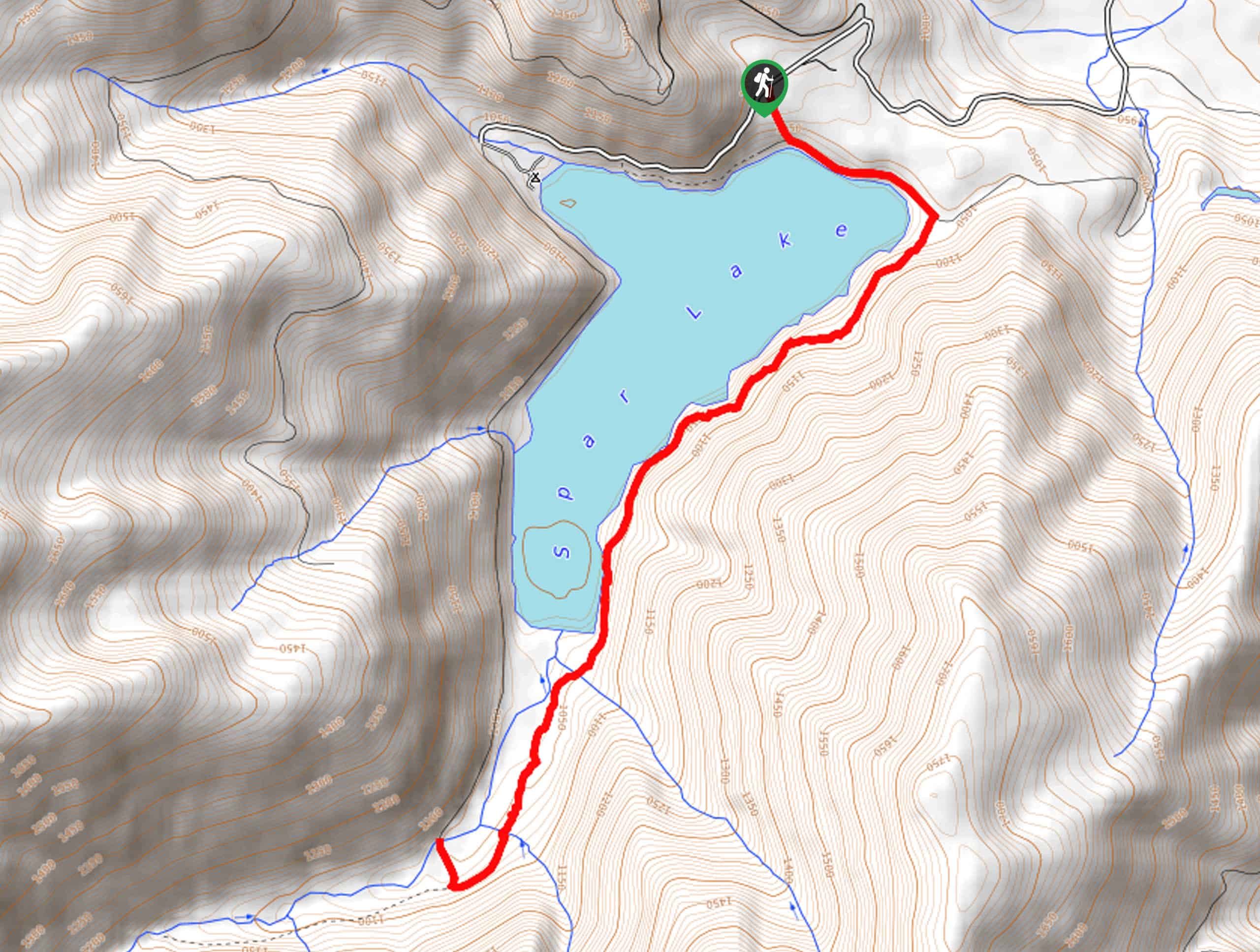
Get outside and reconnect with nature on the Big Spar Lake Hike. This family-friendly adventure explores the shady cedar shoreline…


Comments