

Flower Creek Trail
View PhotosFlower Creek Trail
Difficulty Rating:
The Flower Creek Trail is an arduous day hike, but let us tell you, the payoff is worth it! Featuring lush woodlands, scenic streams, montane meadows, idyllic lakes, and sweeping mountain views, you’ll be hard-pressed to find another hike quite as scenic in the Kootenai National Forest.
Getting there
The Flower Creek Trail is accessed from Flower Lake Road.
About
| Backcountry Campground | Dispersed Camping |
| When to do | May-September |
| Pets allowed | Yes - On Leash |
| Family friendly | No |
| Route Signage | Average |
| Crowd Levels | Moderate |
| Route Type | Out and back |
Flower Creek Trail
Elevation Graph
Weather
Flower Creek Hike Description
The Flower Creek Trail is a spectacular day hike that is found near the top of our favorite hikes in Montana. Used as a gateway into the Cabinet Mountains, you will often enjoy the company of like-minded adventurers as you climb. Note there are several creek crossings required—some of which have bridges, but others will require a rock hop. Wear a sturdy pair of footwear to protect your ankles on uneven terrain, and consider using trekking poles. As you will be touring through bear country, you are advised to carry a can of bear spray and make lots of noise as you hike. Lastly, the mosquitoes are relentless—so insect repellent is a must!
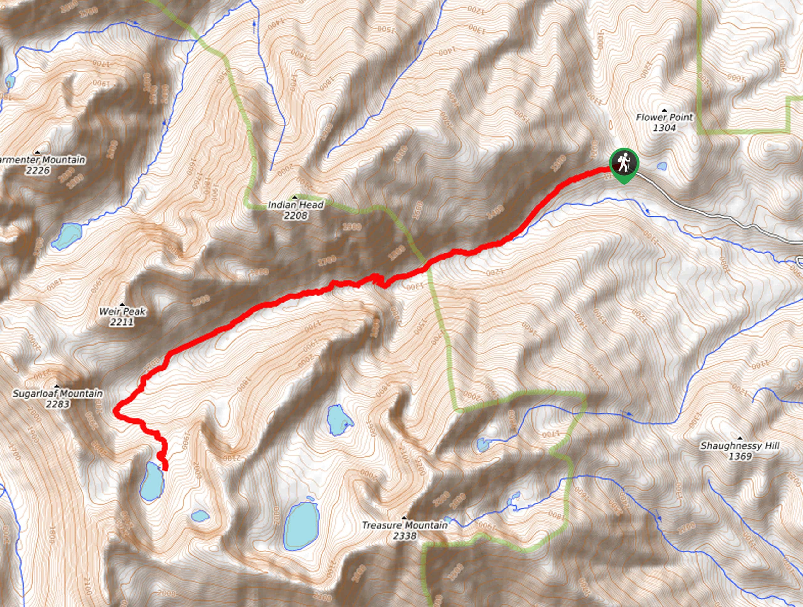
Embark on your adventure along Flower Creek from the trailhead off Flower Lake Road. Setting out from here, the Flower Creek Trail will guide you southwestwardly into the woodlands. Enjoy the protection of the lush canopy and the sounds of the gurgling creek as you climb. As you ascend through the mountain-bound canyon, you will intersect with the stream on several occasions—take your time, and you’re your footing on the slippery terrain when maneuvering these sections. After some hiking, the terrain will transform—becoming more exposed and rockier.
Keeping left at the intersection with the Cabinet Divide North, the Flower Creek Trail will ultimately deliver you to the shoreline of Sky Lake, which is flanked by the towering ridges of the Cabinet Mountains. Appreciate the beauty and grandeur of the alpine setting, then head back down the trail the way you came to the trailhead.
Similar hikes to the Flower Creek Trail hike

Northwest Peak Trail
Located in the far northwestern corner of Montana in the Kootenai National Forest, the Northwest Peak Trail is quite a…

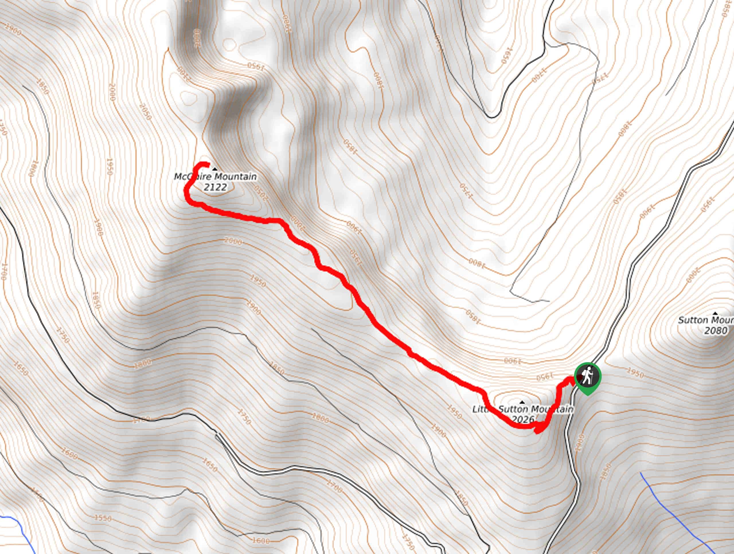
McGuire Mountain Trail
The McGuire Mountain Trail is an excellent adventure that is worth adding to your hiking itinerary. Wander through lodgepole pine…

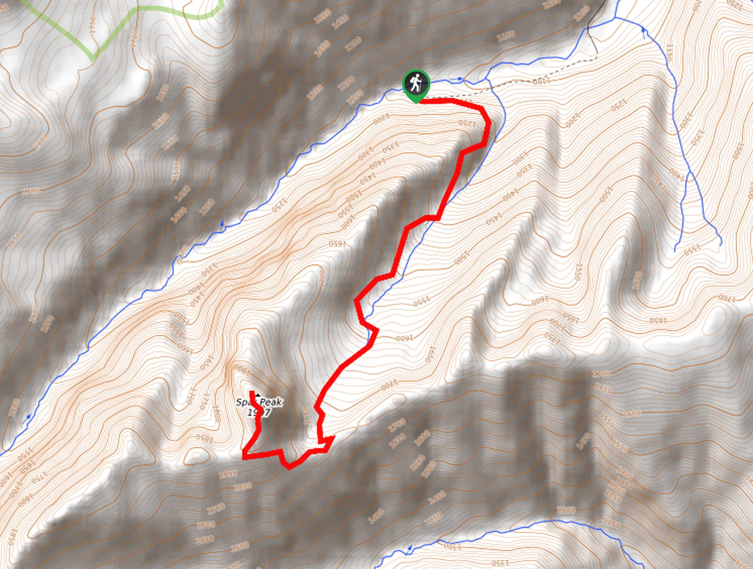
Spar Peak Trail
The panoramic views of the Cabinet Mountains from atop Spar Peak are a sight to behold! This arduous ascent through…


Comments