
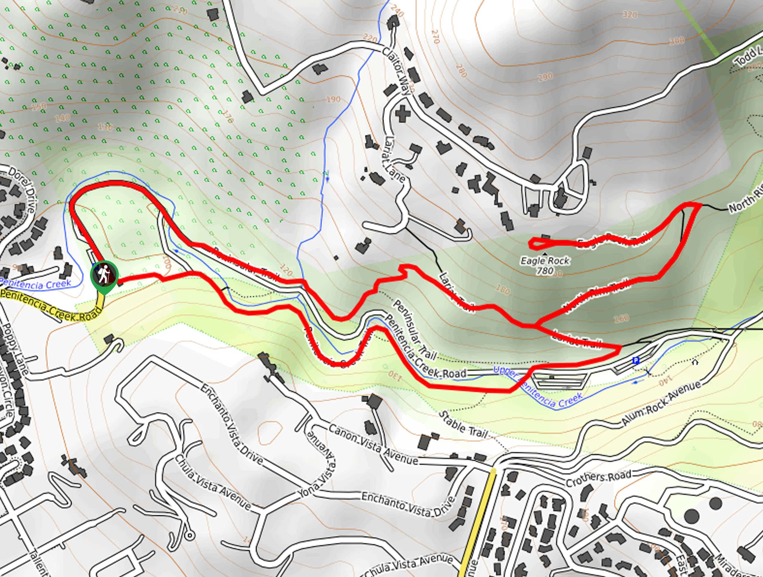
Eagle Rock Loop
View Photos
Eagle Rock Loop
Difficulty Rating:
The Eagle Rock Loop is a pleasant hike that the whole family can enjoy. Explore the Alum Rock Park which offers an abundance of flora and fauna to indulge in as you wander up to the impressive outcrop that boasts beautiful views of the cityscape below.
Getting there
Access this hike via the trailhead off Penitencia Creek Road.

About
| Backcountry Campground | No |
| When to do | Year-round |
| Pets allowed | No |
| Family friendly | Yes |
| Route Signage | Average |
| Crowd Levels | Moderate |
| Route Type | Lollipop |
Eagle Rock Loop
Elevation Graph
Weather
Eagle Rock Loop Description
Those seeking a short, easy-going outdoor adventure near Milpitas will enjoy the Eagle Rock Loop. Located in the foothills, this wonderful trail explores the lush forestlands and flowering meadows before opening to epic overlooks of the city. As you hike, be mindful of poison oak that flanks the path—long pants are recommended to avoid exposure. Note that the Alum Rock Park charges an entrance fee which typically costs $6USD.
Embark on your journey along the Eagle Rock Trail from the Penitencia Creek Trailhead. Setting out from here, the Penitencia Creek Trail will guide you east along the curves of the beautiful creek bound by outcrops and lush vegetation. Eventually, you will reach an intersection with the Lariat Trail; turn left here. Briefly follow this route before diverting right onto the North Rim Trail. Gradually climbing, you will reach another juncture, turn left onto the Eagle Rock Trail, which will reward you with wonderful views of the cityscape. Revel in the scenery, then retrace your footing back down to the Lariat Trail.
At this point, keep right, and the Lariat Trail will lead you along a ridge before merging onto the rightmost Peninsular Trail. When you reach the trail’s end, turn right and hike along the Penitencia Creek Road back to the parking lot.
Similar hikes to the Eagle Rock Loop hike
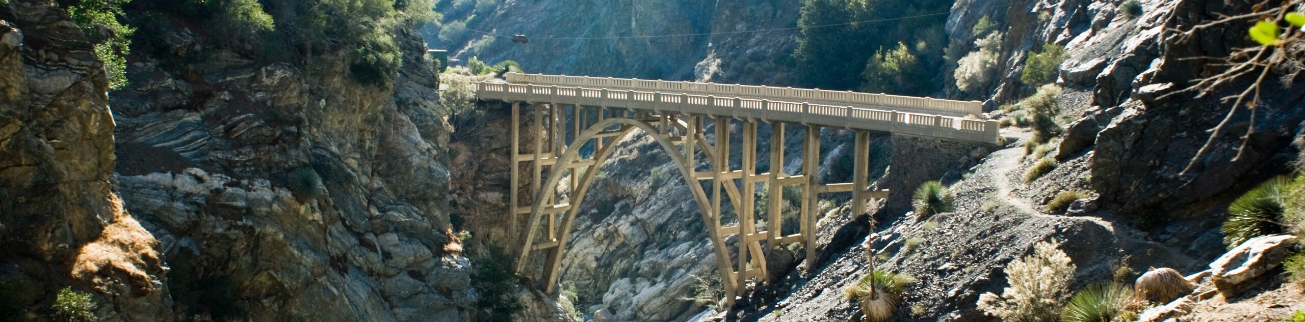
Bridge to Nowhere via East Fork Trail
The hike to the Bridge to Nowhere via East Fork Trail is a fun little adventure in the Angeles National…
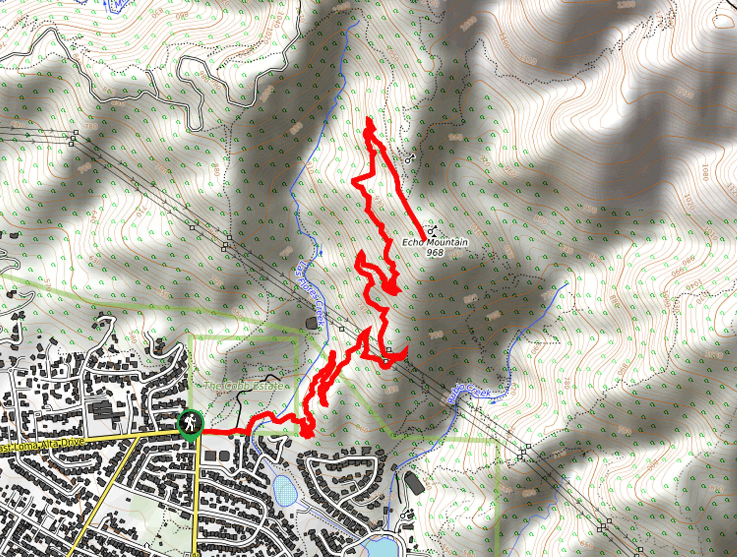
Echo Mountain via Sam Merrill Trail
The Echo Mountain via Sam Merrill Trail is a beautifully scenic adventure in the Angeles National Forest of Southern California…
Lewis Falls Trail
Hiking the Lewis Falls Trail is a spectacular, if fairly short, adventure in the Angeles National Forest that will take…
Comments