
Tequepis Trail
View Photos
Tequepis Trail
Difficulty Rating:
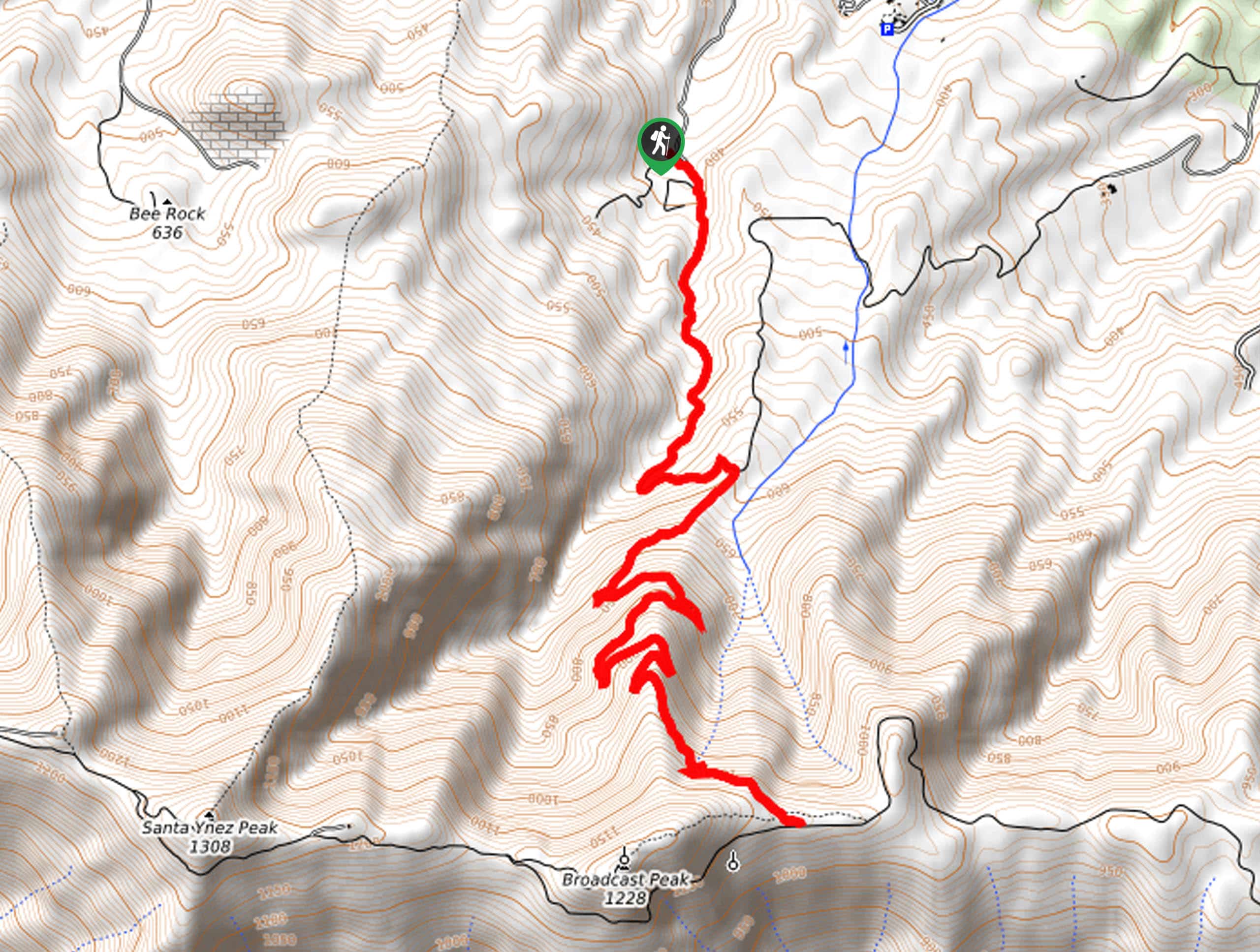
Challenge yourself along the Tequepis Trail. This demanding adventure in the Los Padres National Forest rewards hikers for their efforts with dumbfounding vistas of the Santa Ynez Valley and the San Rafael Mountains.
Getting there
The Tequepis Trail departs from the trailhead off Forest Route 6N04.

About
| Backcountry Campground | No |
| When to do | Year-round |
| Pets allowed | Yes - On Leash |
| Family friendly | No |
| Route Signage | Average |
| Crowd Levels | Moderate |
| Route Type | Out and back |
Tequepis Trail
Elevation Graph
Weather
Tequepis Trail Description
Put your stamina to the test along the Tequepis Trail. This vertiginous trail will get your heart pumping and give you a wicked leg workout as you climb into the Santa Ynez Mountains. Explore the area’s diversity of flora and fauna whilst enjoying the wonderful views of the encompassing mountains. Be sure to wear a comfy pair of footwear and dress in layers as insurance against changing conditions. Don’t forget to pack plenty of water—there are no water sources along the route!
Embark on your adventure along the Tequepis Trail from the trailhead off Forest Route 6N04. Tracking southwardly, you will gradually climb into the wilderness into a craggy canyon. As you hike, be mindful of your footing on the uneven terrain and be wary of poison oak. Not long after your departure will you reach an intersection, keep right here, and the terrain will intensify. As you ascend the steep terrain via switchbacks, you will be rewarded with inspiring scenery.
Continue hiking, and you will ultimately reach the trail’s end at the intersection with the West Camino Cielo. From here, you will be granted panoramic views of the Santa Ynez Valley in the north, bound by the San Rafael Mountains. In the south, you will notice Santa Barbara and the Pacific. After reveling in the vistas, head back the way you came to the trailhead.
Similar hikes to the Tequepis Trail hike
Last Chance Trail
The Last Chance Trail is an amazing adventure through the Santa Paula Canyon amongst the Topatopa Mountains. Indulge in the…
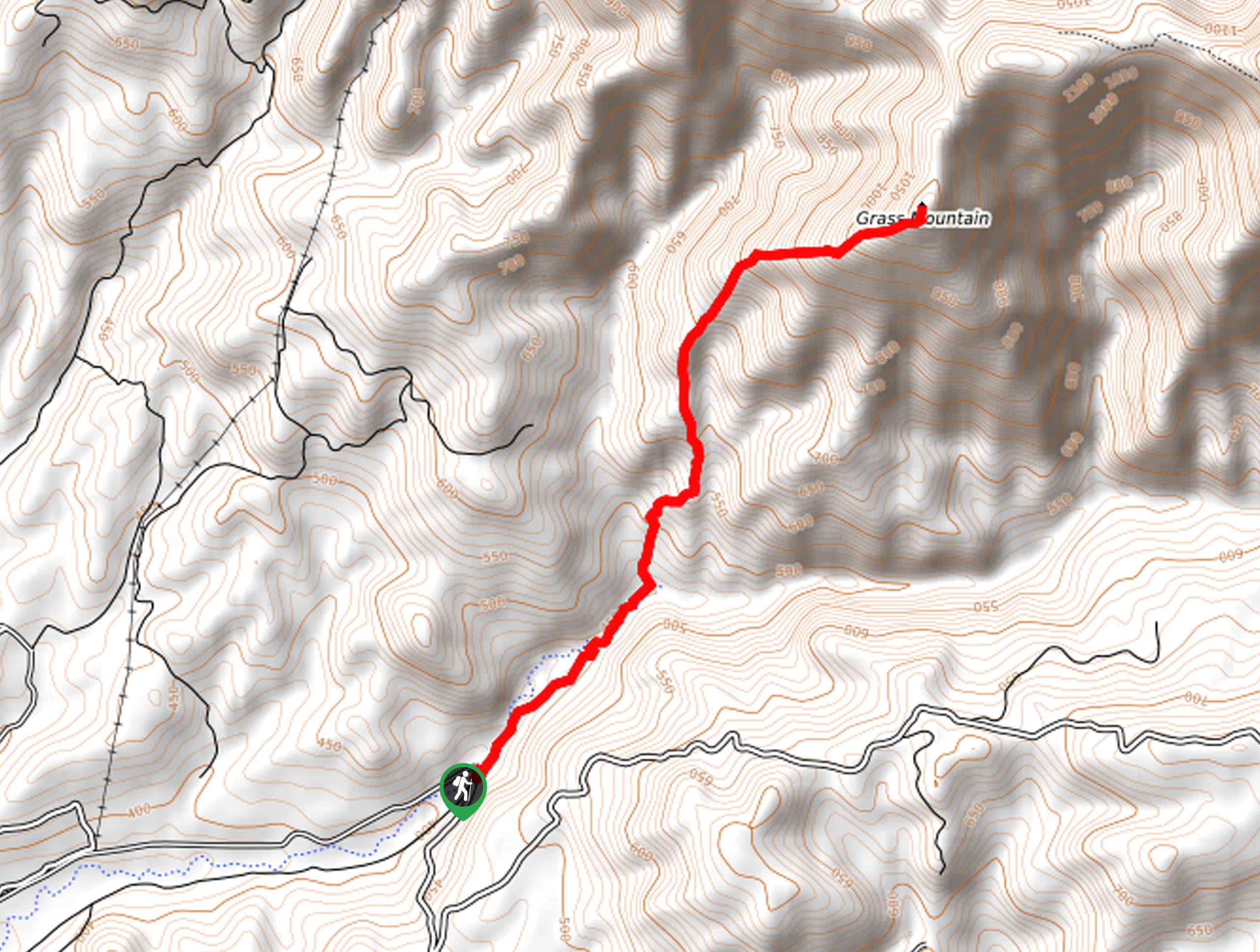
Grass Mountain Trail
The Grass Mountain Trail is an amazing adventure in the Los Padres National Forest that boasts commanding vistas of the…
Brazil Ranch Trail
The Brazil Ranch Trail is an amazing adventure in the Los Padres National Forest that is sure to impress. Walk…
Comments