
Spyglass Ridge Road Hike
View Photos
Spyglass Ridge Road Hike
Difficulty Rating:
The Spyglass Ridge Road Hike would make a wonderful addition to an experienced hiker’s adventure itinerary. Demanding the navigation of technical terrain, this amazing route rewards its conquerors with dumbfounding vistas of the Santa Ynez Mountains and Santa Barbara below.
Getting there
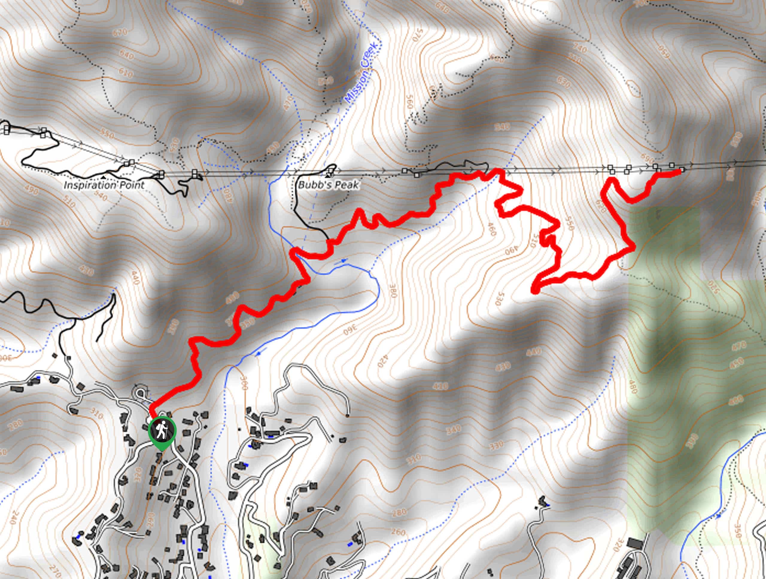
The Spyglass Ridge Road Hike departs from the Tunnel Trailhead off Tunnel Road.

About
| Backcountry Campground | No |
| When to do | Year-round |
| Pets allowed | Yes - On Leash |
| Family friendly | Older Children only |
| Route Signage | Average |
| Crowd Levels | High |
| Route Type | Out and back |
Spyglass Ridge Road Hike
Elevation Graph
Weather
Spyglass Ridge Road Hike Description
Immerse yourself in the foothills of Los Padres along the Spyglass Ridge Road Hike. This wonderful trail travels into the Santa Ynez Mountains through the arid terrain adorned with a diversity of flora and fauna. Explore chaparral communities and keep an eye out for lizards and snakes bathing on the heat-radiating path. Much of the route is exposed and affords incredible views, and warrants extremely hot conditions, so be sure to pack plenty of water and wear SPF.
Setting out from the trailhead, the Spyglass Ridge Road follows the Tunnel Trail northeast. This route will wander up a wide dirt route along the mountainside to Mission Creek. Here you will cross a footbridge over the water before confronting an intersection. At the junction, veer right, and you will be diverted onto the Mission Canyon Catway. This path will wind up the cliffside before reaching yet another trail break. Keep right, and the Mission Canyon Catway will ultimately deliver you to an epic overlook.
Marvel in the beauty of the encompassing Mission Crags and the city of Santa Barbara below. On a clear day, you may even be granted views of the Channel Islands in the Pacific. After enjoying the scenery, retrace your footing back down the path to the trailhead.
Similar hikes to the Spyglass Ridge Road Hike hike
Last Chance Trail
The Last Chance Trail is an amazing adventure through the Santa Paula Canyon amongst the Topatopa Mountains. Indulge in the…
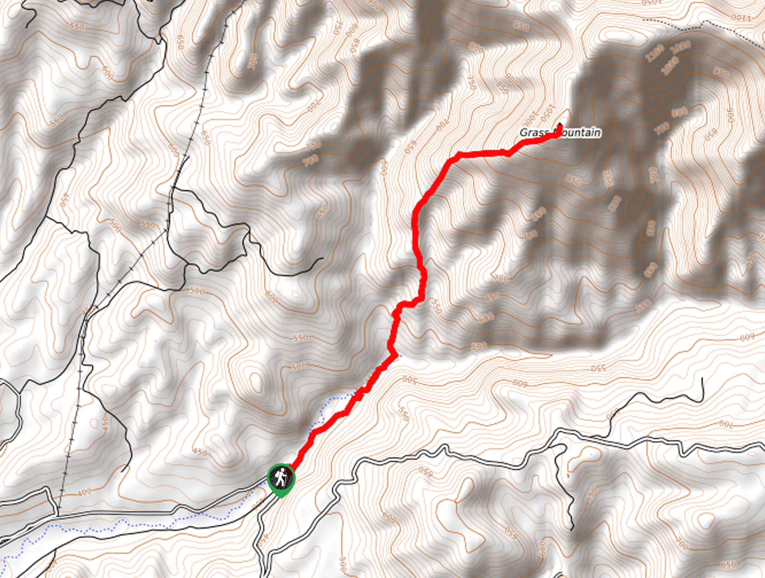
Grass Mountain Trail
The Grass Mountain Trail is an amazing adventure in the Los Padres National Forest that boasts commanding vistas of the…
Brazil Ranch Trail
The Brazil Ranch Trail is an amazing adventure in the Los Padres National Forest that is sure to impress. Walk…
Comments