Romero Canyon Loop
View Photos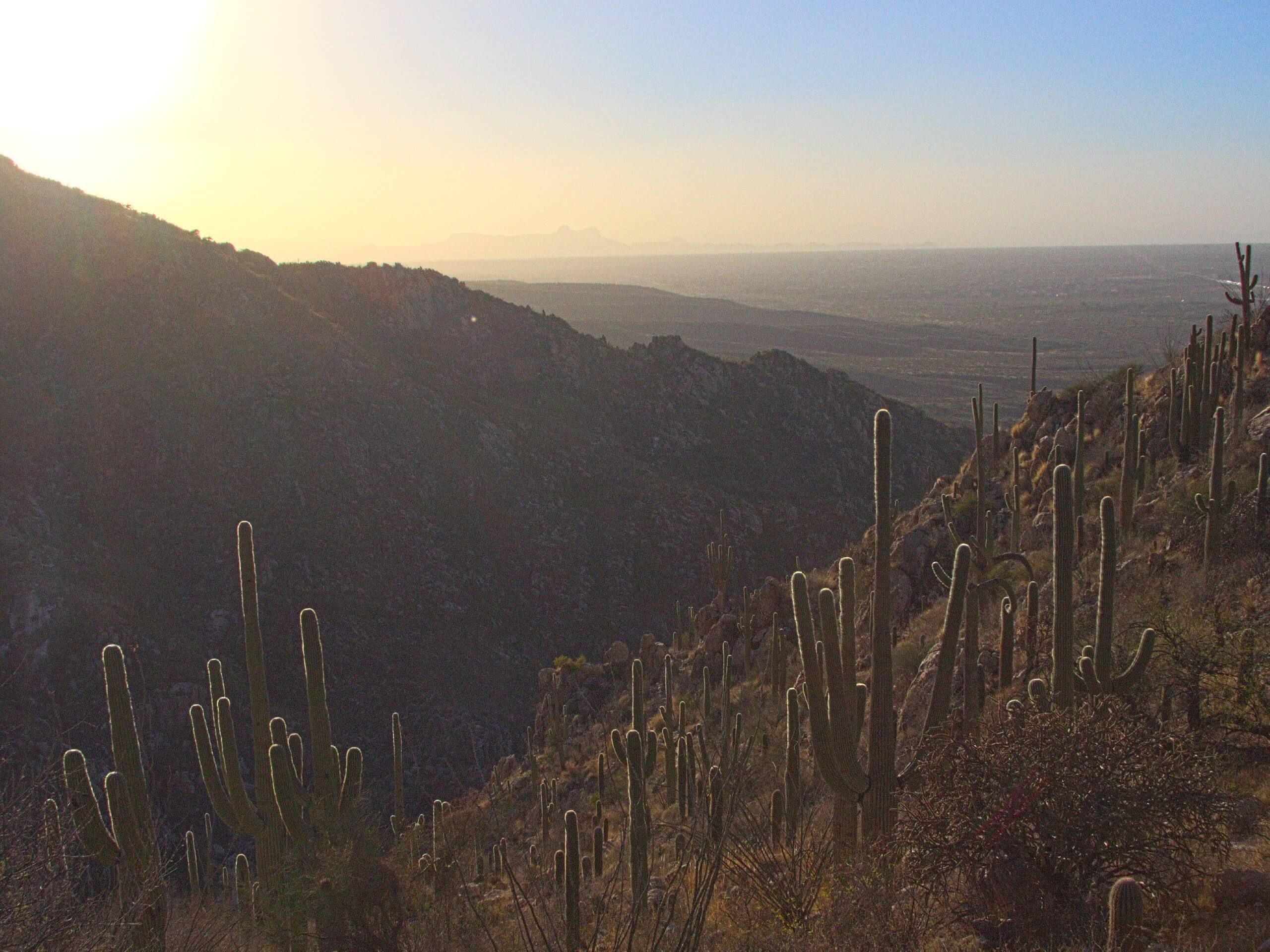
Romero Canyon Loop
Difficulty Rating:
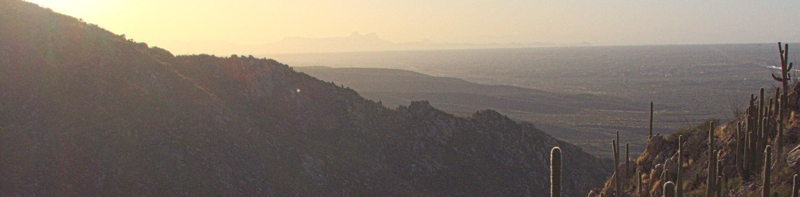
The Romero Canyon Trail is a demanding adventure reserved for experienced hikers and intrepid spirits. Immerse yourself in the mountains of Los Padres and indulge in the breathtaking scenes of the encompassing mountains, Santa Barbara, Montecito, and the Channel Islands.
Getting there
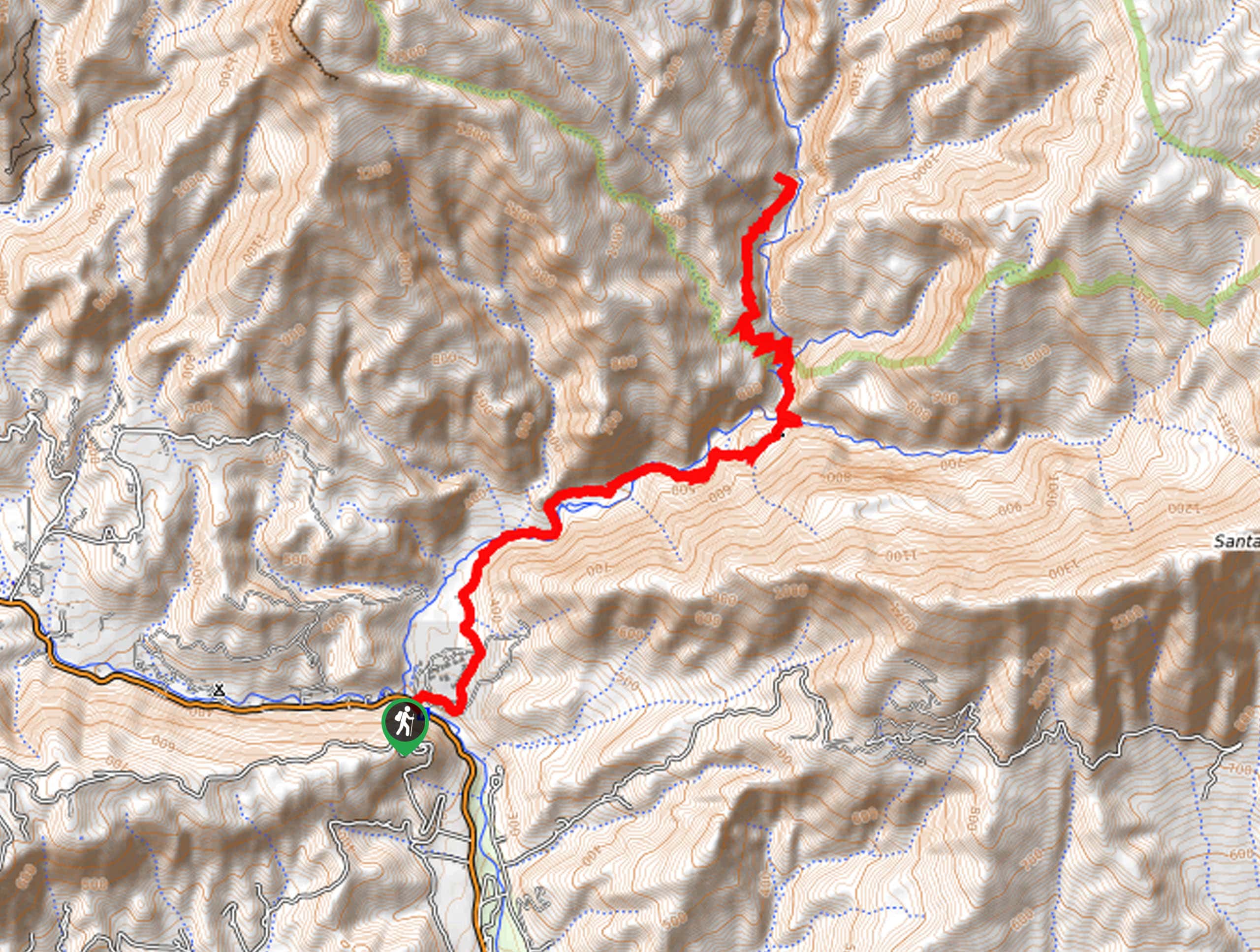
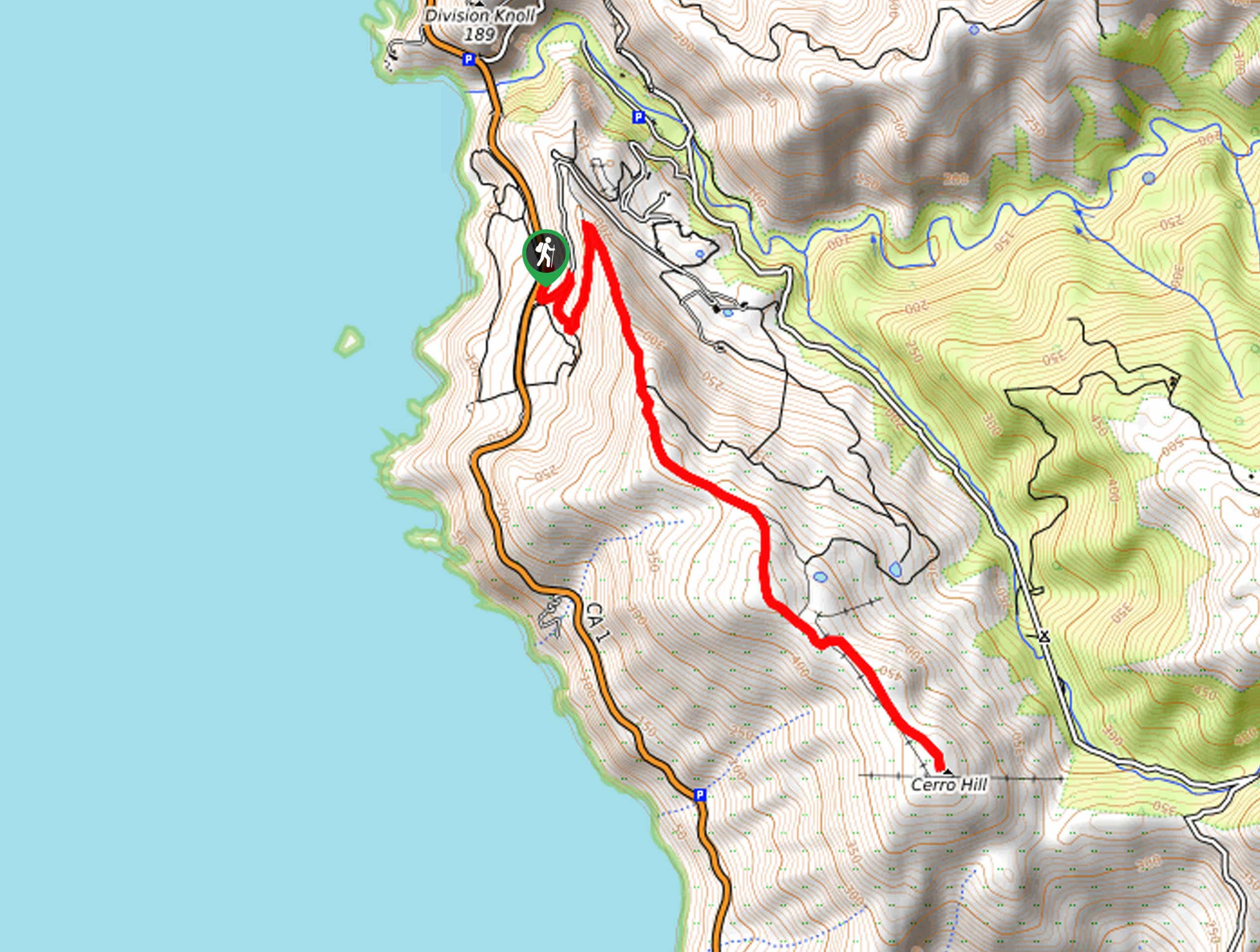
The Romero Canyon Trail is accessed from the Romero Canyon Road Trailhead off Bella Vista Drive.

About
| Backcountry Campground | No |
| When to do | Year-round |
| Pets allowed | Yes - On Leash |
| Family friendly | No |
| Route Signage | Average |
| Crowd Levels | Moderate |
| Route Type | Lollipop |
Romero Canyon Loop
Elevation Graph
Weather
Romero Canyon Loop Description
Seeking a challenging day hike near Santa Barbara? The Romero Canyon Loop Trail is a heart-pumping adventure into the Santa Ynez Mountains. Exhibiting the diversity of the area’s flora and fauna, this route travels deep into the wilderness, so make sure you are adequately prepared. Additionally, the terrain is exposed and rocky, so make sure you wear a pair of ankle bracing footwear and SPF! Though you may not think you need a lot of water, be sure to pack more than you anticipate needing—the beating sun and tiring terrain will leave you parched.
Embark on your adventure along the Romero Canyon Loop from Romero Canyon Road. From here, follow the Romero Canyon Road north, which will redirect you east shortly after your departure. This winding route will eventually curve north, over seasonal creeks and past several intersections. Maintain along the Romero Canyon Road all the way to the Romero Saddle. Here, merge onto the Murietta Juncal Road, connecting onto the Romero Trail at the next junction. Follow this path south onto the Upper Romero Trail and onto the Lower Romero Trail at the route’s end.
Follow the Lower Romero Trail south through the Romero Canyon and along the meandering creek. When you ultimately reach the trail’s end, reconnect with the Romero Canyon Road, and track this route back to the trailhead.
Similar hikes to the Romero Canyon Loop hike
Last Chance Trail
The Last Chance Trail is an amazing adventure through the Santa Paula Canyon amongst the Topatopa Mountains. Indulge in the…
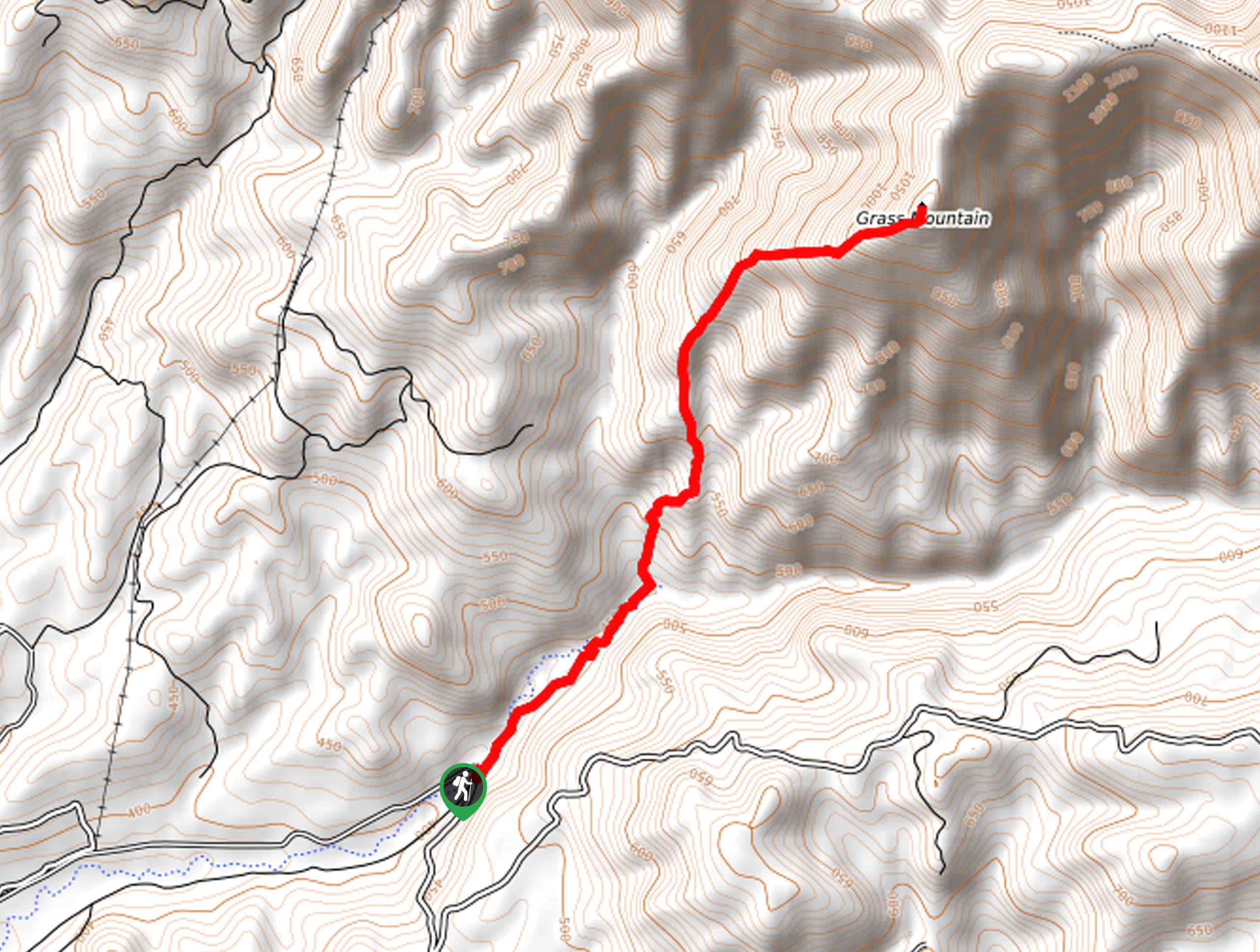
Grass Mountain Trail
The Grass Mountain Trail is an amazing adventure in the Los Padres National Forest that boasts commanding vistas of the…
Brazil Ranch Trail
The Brazil Ranch Trail is an amazing adventure in the Los Padres National Forest that is sure to impress. Walk…
Comments