Tunnel Trail
View Photos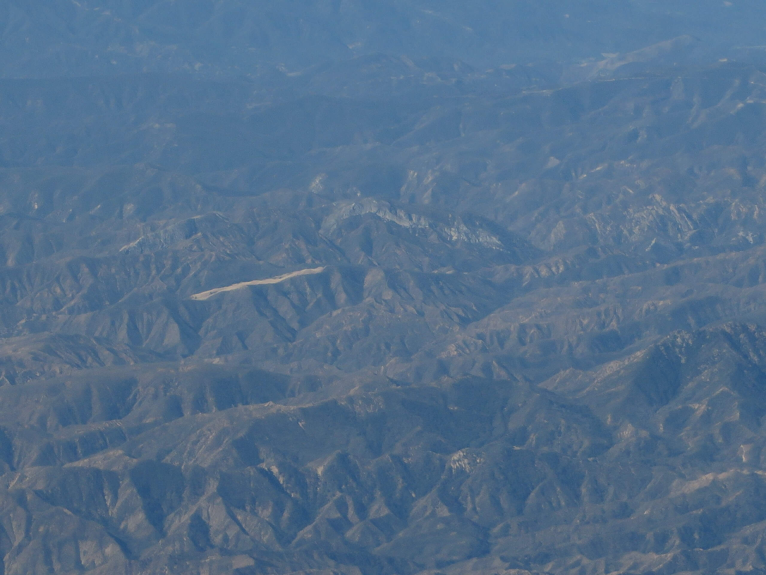
Tunnel Trail
Difficulty Rating:
The Tunnel Trail is a demanding adventure into the Santa Ynez Mountains above Santa Barbara. Wander up through the arid terrain adorned with a dense community of chaparral brush up into the Mission Crags.
Getting there
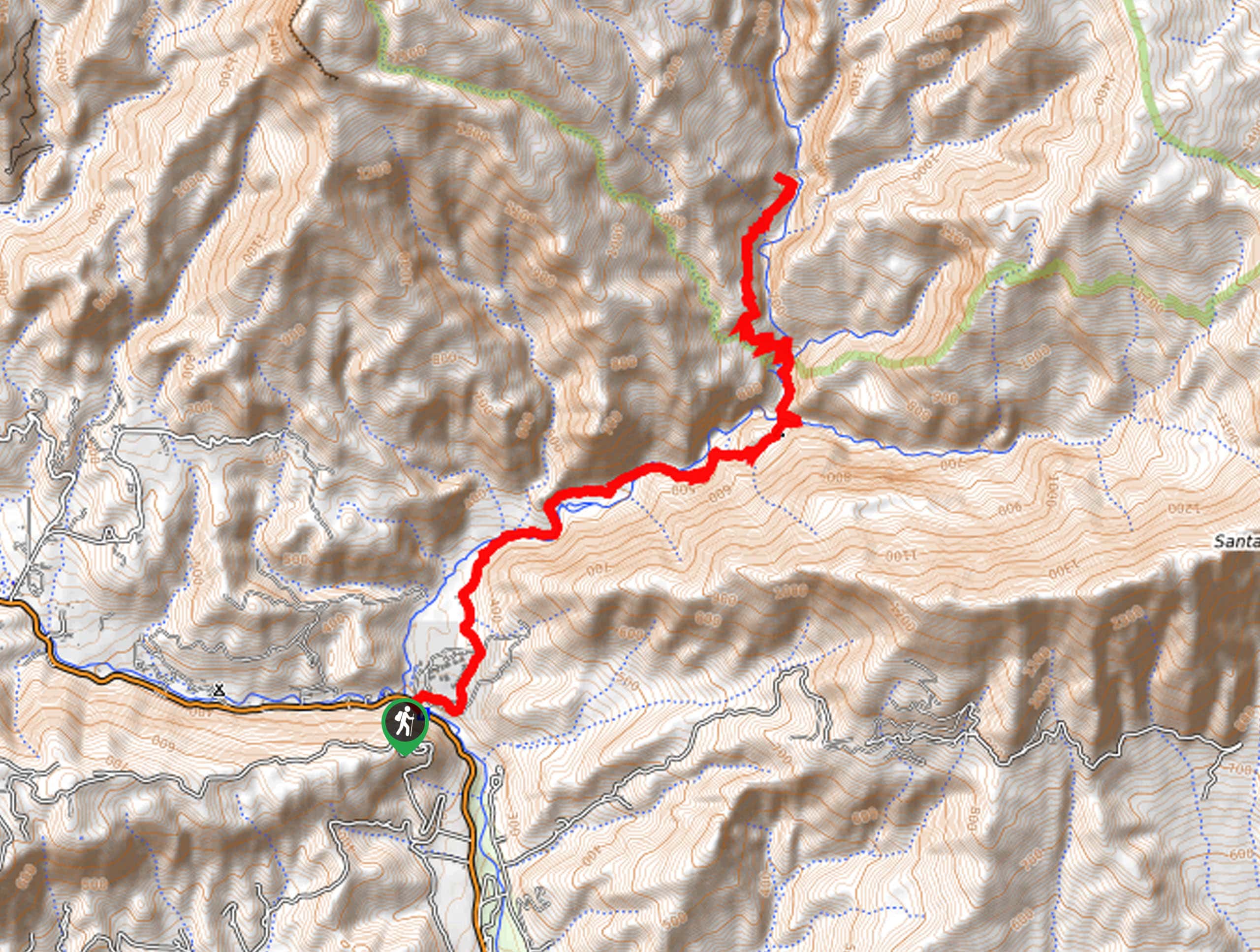
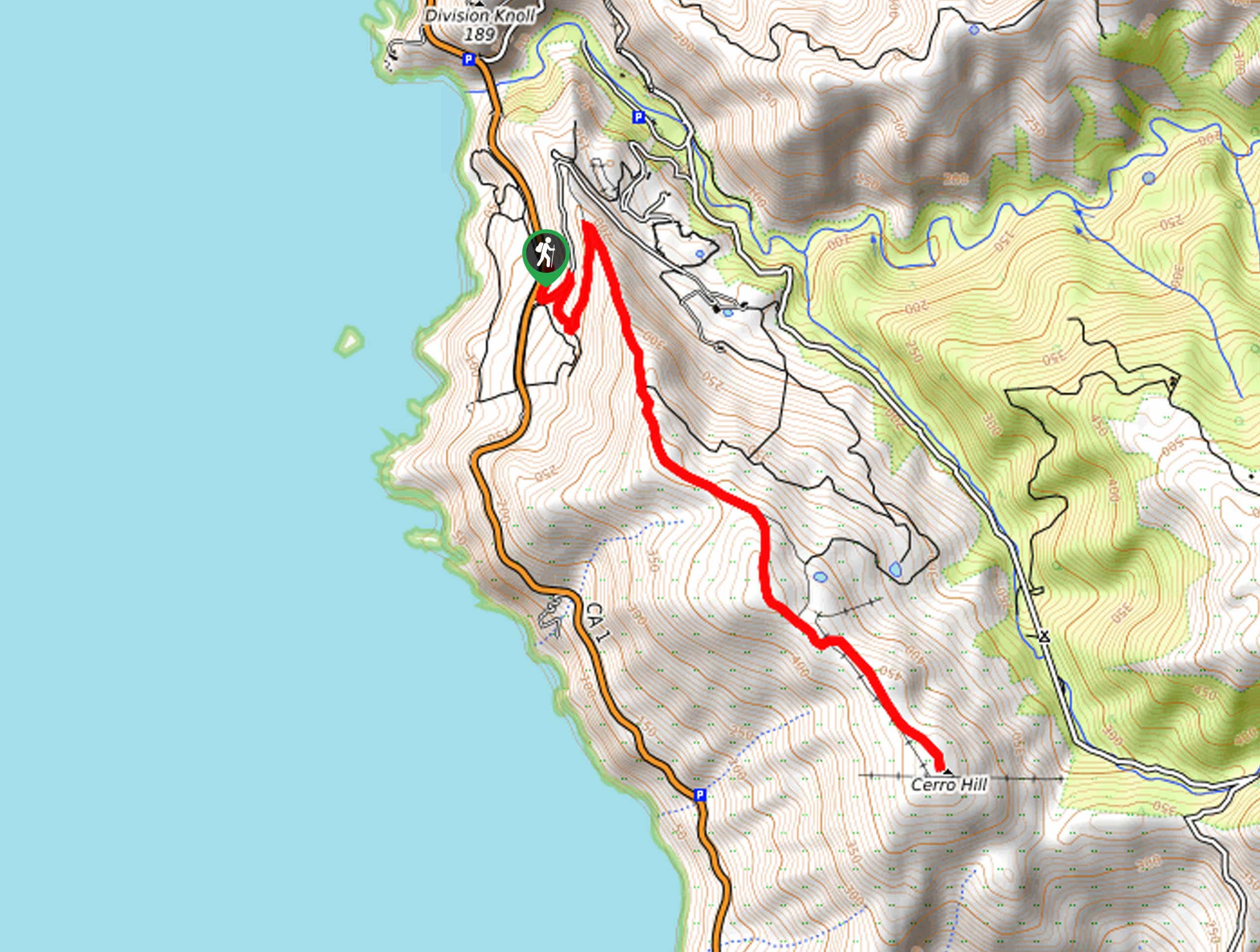
Access this hike via the trailhead off Tunnel Road.

About
| Backcountry Campground | No |
| When to do | Year-round |
| Pets allowed | Yes - On Leash |
| Family friendly | No |
| Route Signage | Average |
| Crowd Levels | Moderate |
| Route Type | Out and back |
Tunnel Trail
Elevation Graph
Weather
Tunnel Trail Description
This adventure is no walk in the park, but the views from the trail’s end prove well worth the effort. Climb through the mission crags up to an epic overlook—but you’re in for a workout. Get your steps in and put your stamina to the test. While the exposed terrain offers incredible vistas, it also warrants extremely hot conditions, so head out to beat the heat in the morning. Additionally, the route is overgrown in sections, so we encourage the use of the trail GPS. Note parking at the trailhead is strict; park within the white lines to avoid a citation.
Setting out from the trailhead, the Tunnel Trail wanders northeast along the exposed cliffside trail bound by shrubs. Eventually, the path will guide you over a bridge atop Mission Creek. Here you will also find dam infrastructure. Beyond this point, the incline will intensify—take your time and stay hydrated as you climb. After navigating several switchbacks the route will redirect you north, and the terrain will become more manageable and gradual.
You will ultimately reach the trail’s end at the intersection with E Camino Cielo Road. Admire the beauty and grandeur of the encompassing Santa Ynez Mountains, Santa Barbara, and the Pacific. After reveling in the views and rehydrating, retrace your footing down the path back to the trailhead.
Similar hikes to the Tunnel Trail hike
Last Chance Trail
The Last Chance Trail is an amazing adventure through the Santa Paula Canyon amongst the Topatopa Mountains. Indulge in the…
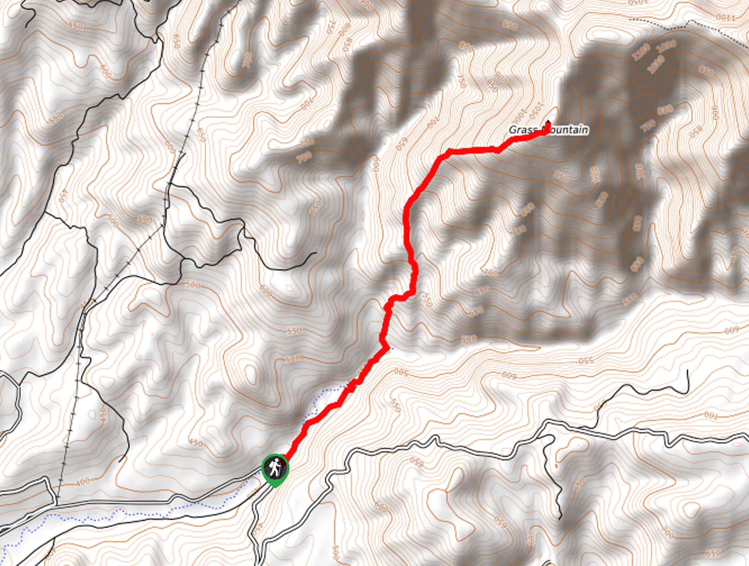
Grass Mountain Trail
The Grass Mountain Trail is an amazing adventure in the Los Padres National Forest that boasts commanding vistas of the…
Brazil Ranch Trail
The Brazil Ranch Trail is an amazing adventure in the Los Padres National Forest that is sure to impress. Walk…
Comments