

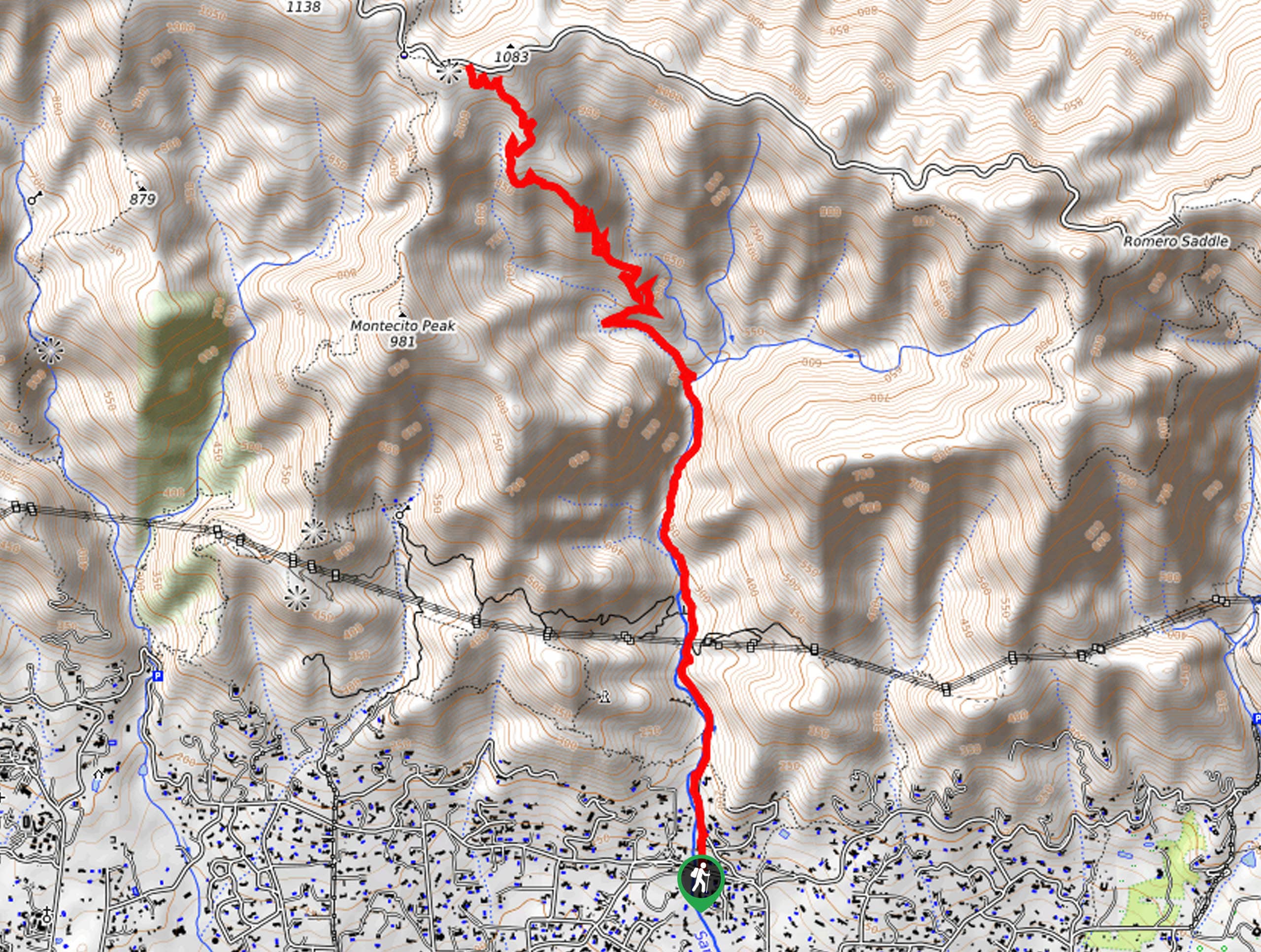
San Ysidro Trail
View PhotosSan Ysidro Trail
Difficulty Rating:
The San Ysidro Trail is an amazing adventure near Montecito that is best enjoyed by intermediate hikers and families with older children. Immerse yourself in the rocky canyon of San Ysidro Creek shaded by the lush coastal woodlands and get a great workout in!
Getting there
Access this route via the San Ysidro Trailhead off E Mountain Drive.
About
| Backcountry Campground | No |
| When to do | Year-round |
| Pets allowed | Yes - On Leash |
| Family friendly | Older Children only |
| Route Signage | Average |
| Crowd Levels | High |
| Route Type | Out and back |
San Ysidro Trail
Elevation Graph
Weather
San Ysidro Trail Description
This hike offers a great workout that can be enjoyed year-round. Located near the city center of Montecito, this route sees plenty of traffic—including intrepid hikers, runners, bikers, climbers, and horseback riders. Those seeking a more tranquil experience are encouraged to head out in the early morning. Note the creek and falls often dry in the summer months, so head out in the winter or after rainfall to enjoy the cascades—just mind your footing on the slippery rocks.
Embark on your adventure along the San Ysidro Trail from the trailhead off E Mountain Drive. From here, the San Ysidro Trail along West Park Lane before entering the woodlands. Enjoy the shade of the lush coastal woodlands and the soothing sounds of the gurgling creek as you climb. As you ascend the canyon, you will likely notice climbers scaling the sides of the craggy valley!
Continue along the San Ysidro Trail, and you will ultimately reach the trail’s end at the intersection with E Camino Cielo Road. From here, simply turn around and retrace your footing back to the trailhead.
Similar hikes to the San Ysidro Trail hike
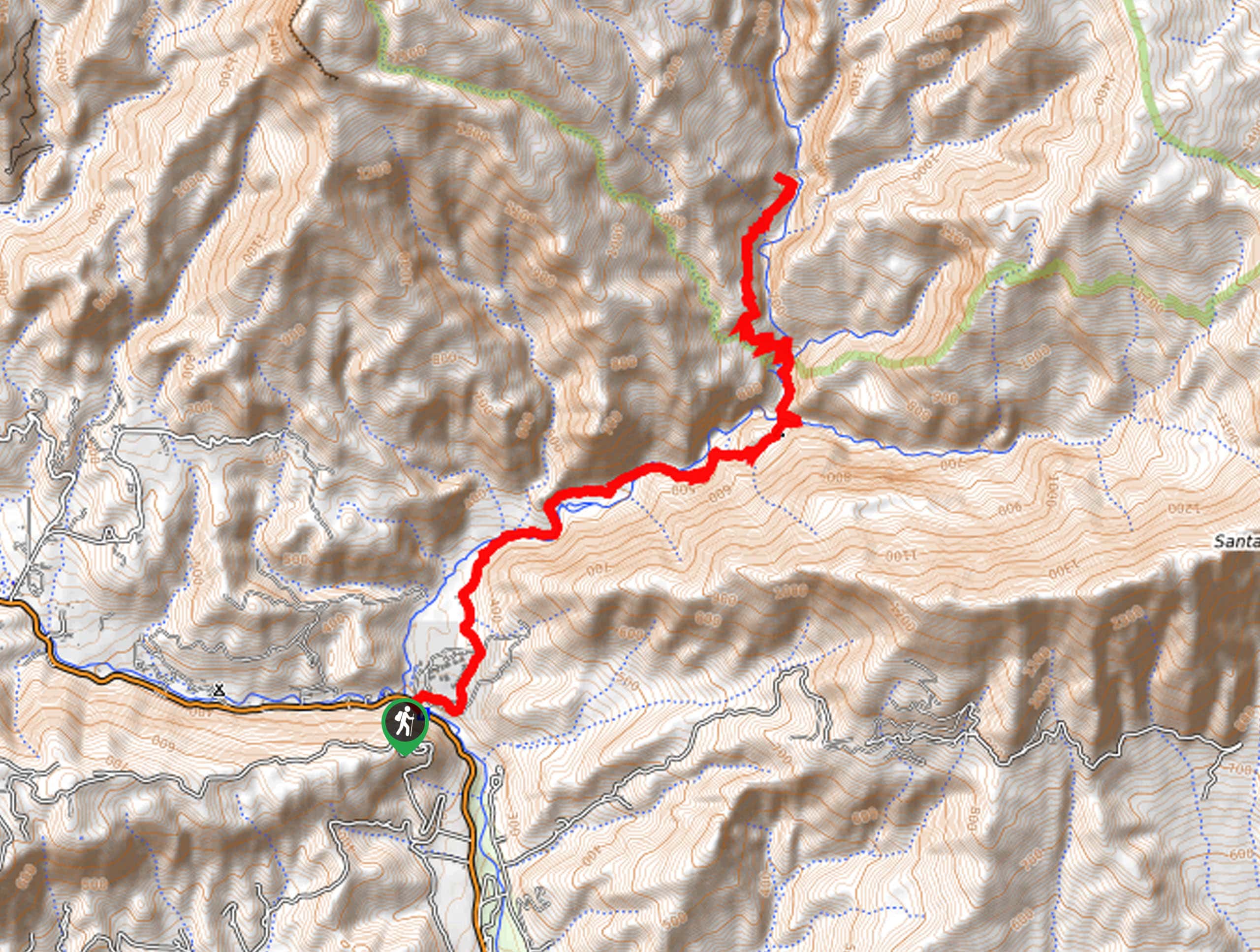
Last Chance Trail
The Last Chance Trail is an amazing adventure through the Santa Paula Canyon amongst the Topatopa Mountains. Indulge in the…
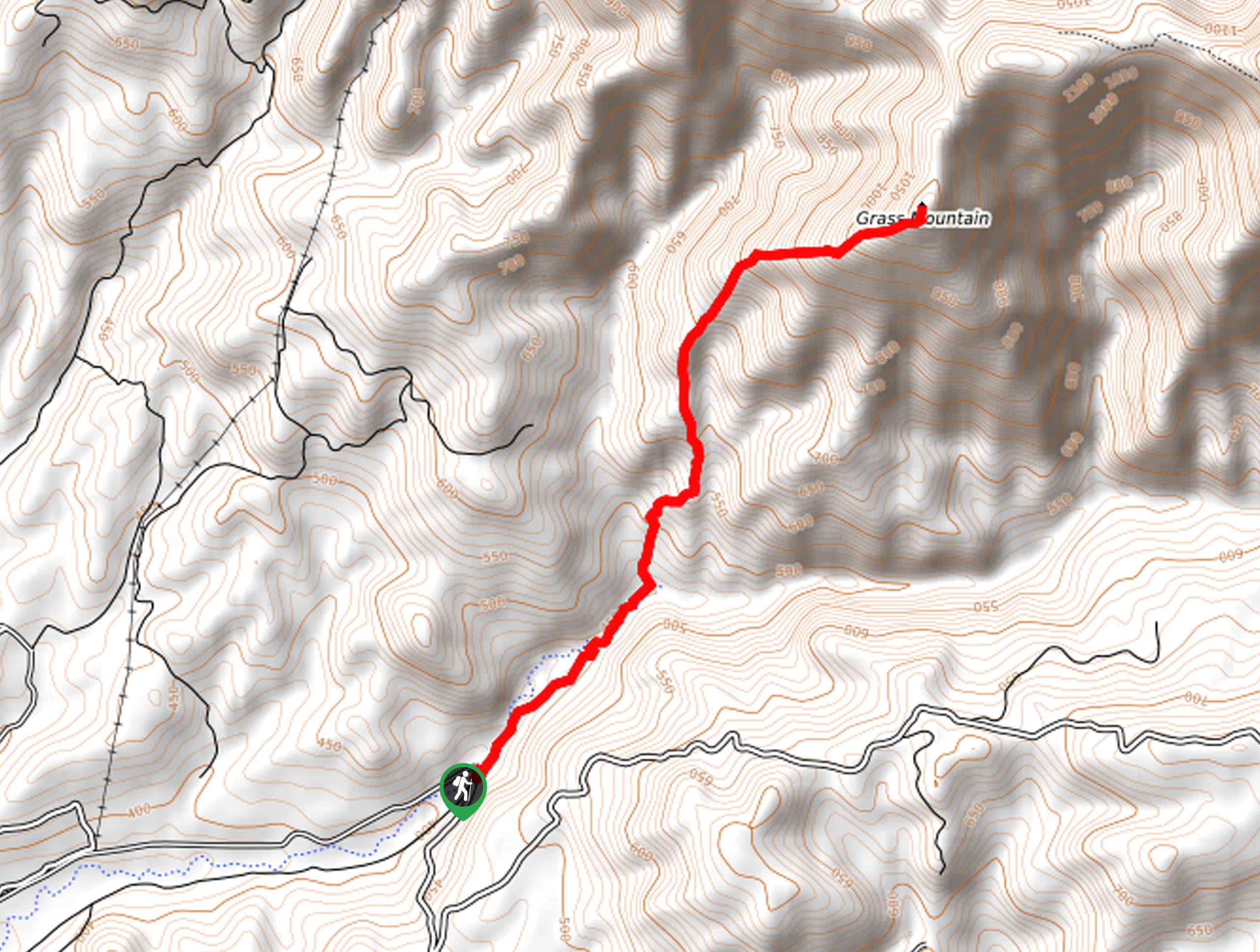
Grass Mountain Trail
The Grass Mountain Trail is an amazing adventure in the Los Padres National Forest that boasts commanding vistas of the…
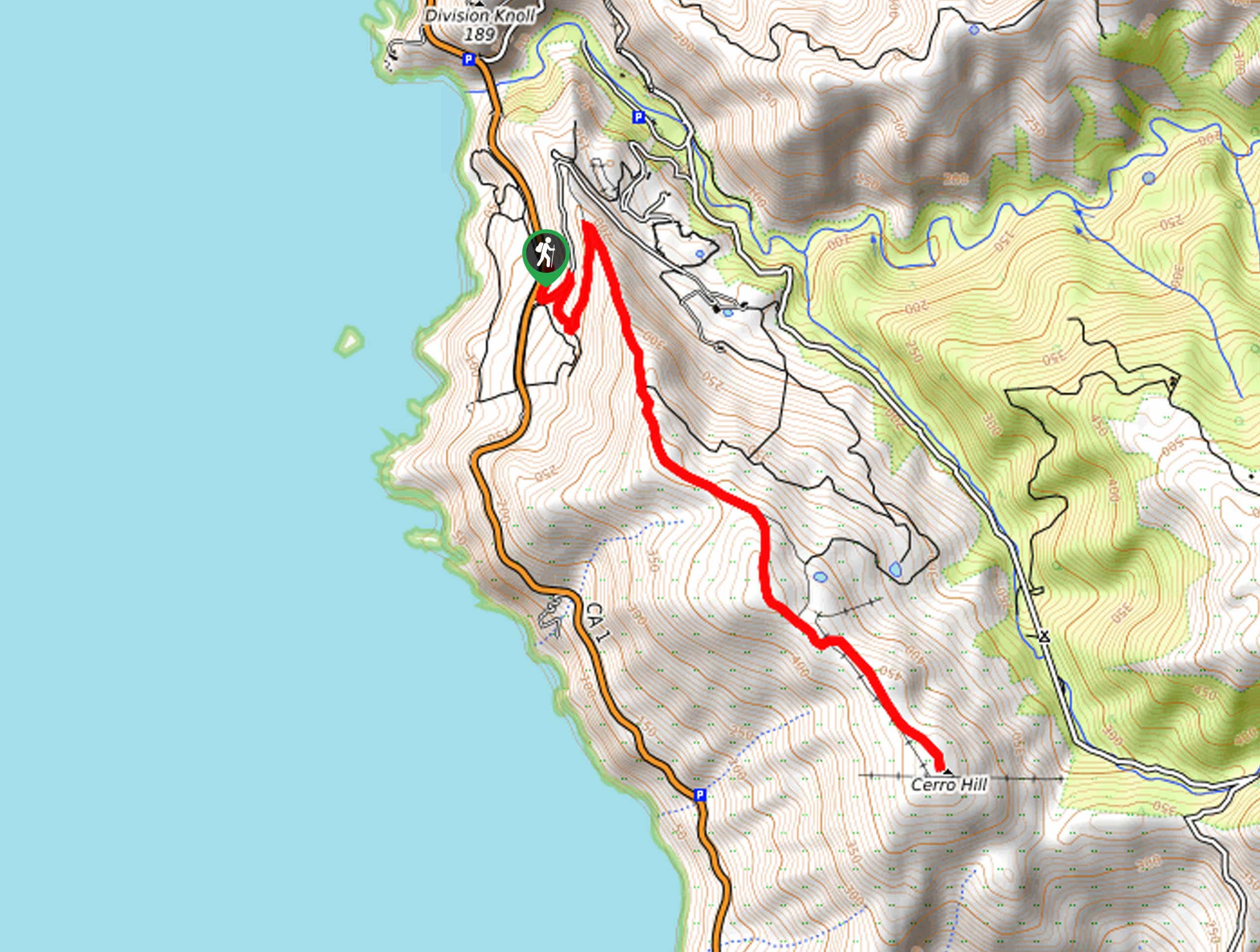
Brazil Ranch Trail
The Brazil Ranch Trail is an amazing adventure in the Los Padres National Forest that is sure to impress. Walk…



Comments