

Gaviota Peak Hike
View PhotosGaviota Peak Hike
Difficulty Rating:
The Gaviota Peak Trail is a heart-pumping expedition in the Los Padres National Forest that boasts unrivaled views of the Santa Ynez Mountains and the Pacific Ocean. Those seeking a challenging day-hike will enjoy this adventure.
Getting there
Access the Gaviota Peak Trailhead is located off California State Route 1.
About
| Backcountry Campground | No |
| When to do | Year-round |
| Pets allowed | No |
| Family friendly | No |
| Route Signage | Poor |
| Crowd Levels | High |
| Route Type | Out and back |
Gaviota Peak Hike
Elevation Graph
Weather
Gaviota Peak Hike Description
Indulge yourself in wonderful mountain scenery, lush vegetation, and maritime views along the Gaviota Peak Hike. Traveling through chaparral shrubs and sparse tree stands, much of this hike is exposed to the elements, so be sure to pack plenty of water and wear SPF on sunny days. Note the path is not well signposted. Thus the trail GPS will prove useful. Packed with elevation change and wonderful scenery, this route is a must-add to the adventure itinerary.
Setting out from the trailhead off California State Route 1, the Gaviota Peak Trail travels eastwardly up the fire road. Soon after your departure, you will reach a collection of hot springs on Hot Springs Creek. Beyond this point, the path will zigzag up the cliffside and over several creeks. Take breaks as needed and rehydrate as you climb. Wandering through brush most of the way, you will be granted the odd tree stand, which boasts the perfect opportunity to cool off.
After navigating a seemingly endless set of switchbacks, you will ultimately reach the summit of Gaviota Peak. Marvel in the beauty and grandeur of the encompassing mountains and the expansive scene of the dramatic Californian coastline. After reveling in the panoramas, retrace your footing down the path back to the trailhead.
Similar hikes to the Gaviota Peak Hike hike

Last Chance Trail
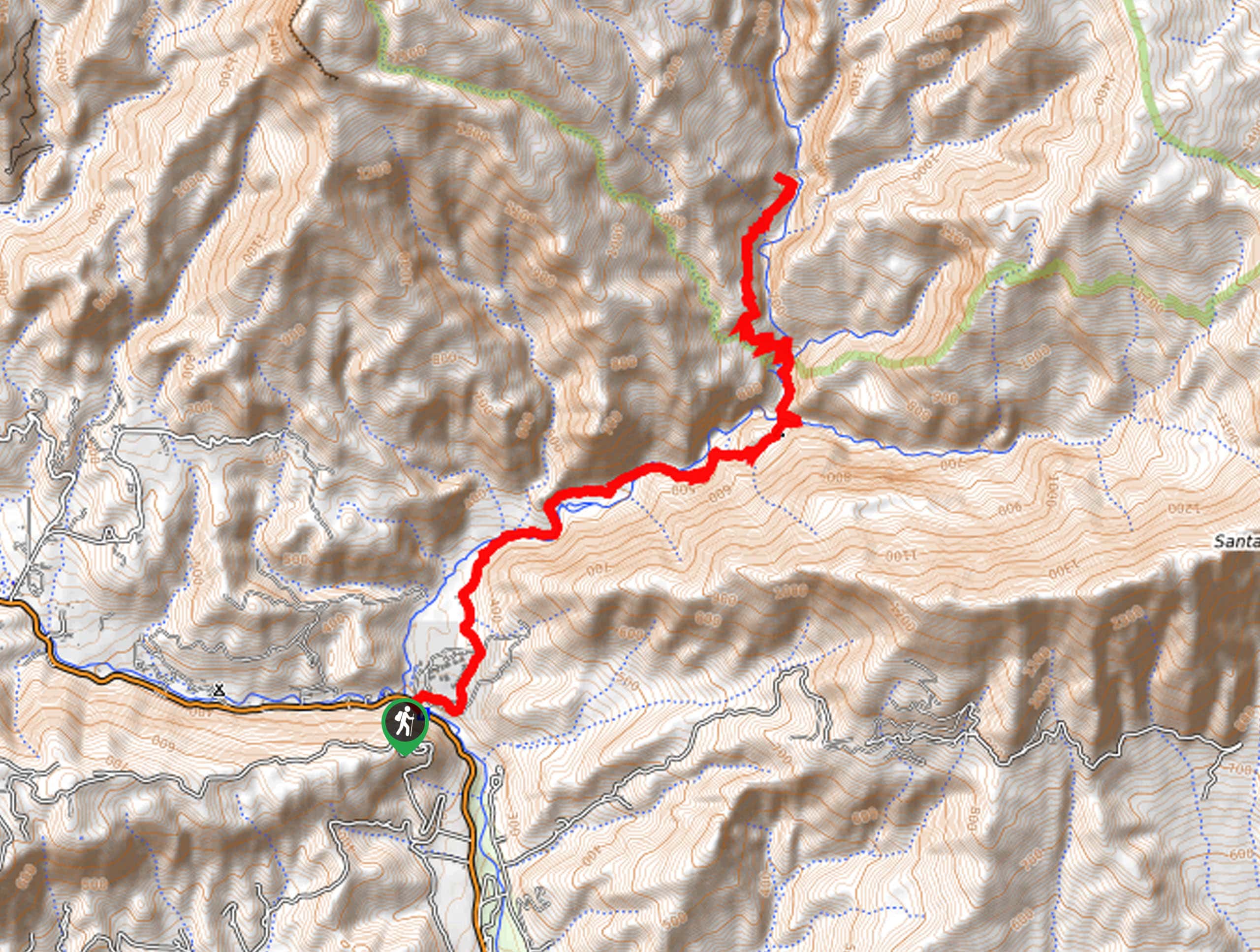
The Last Chance Trail is an amazing adventure through the Santa Paula Canyon amongst the Topatopa Mountains. Indulge in the…

Grass Mountain Trail
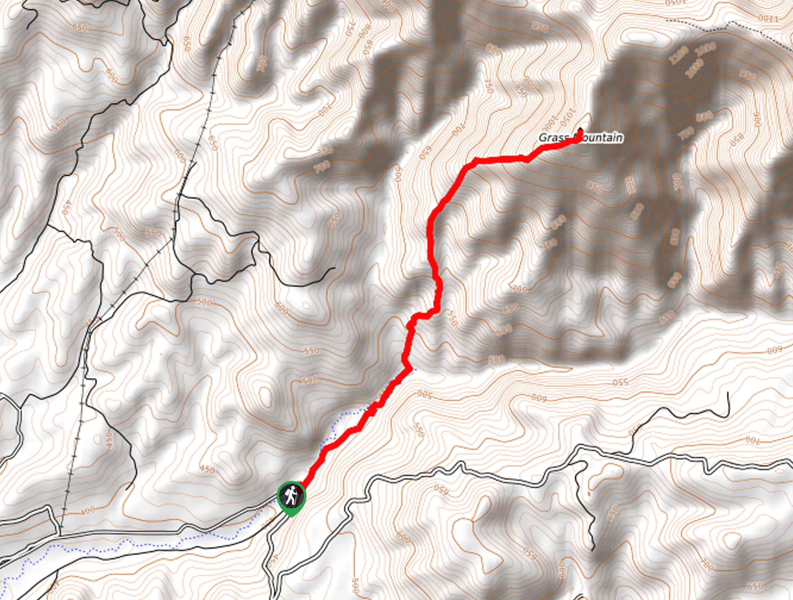
The Grass Mountain Trail is an amazing adventure in the Los Padres National Forest that boasts commanding vistas of the…

Brazil Ranch Trail
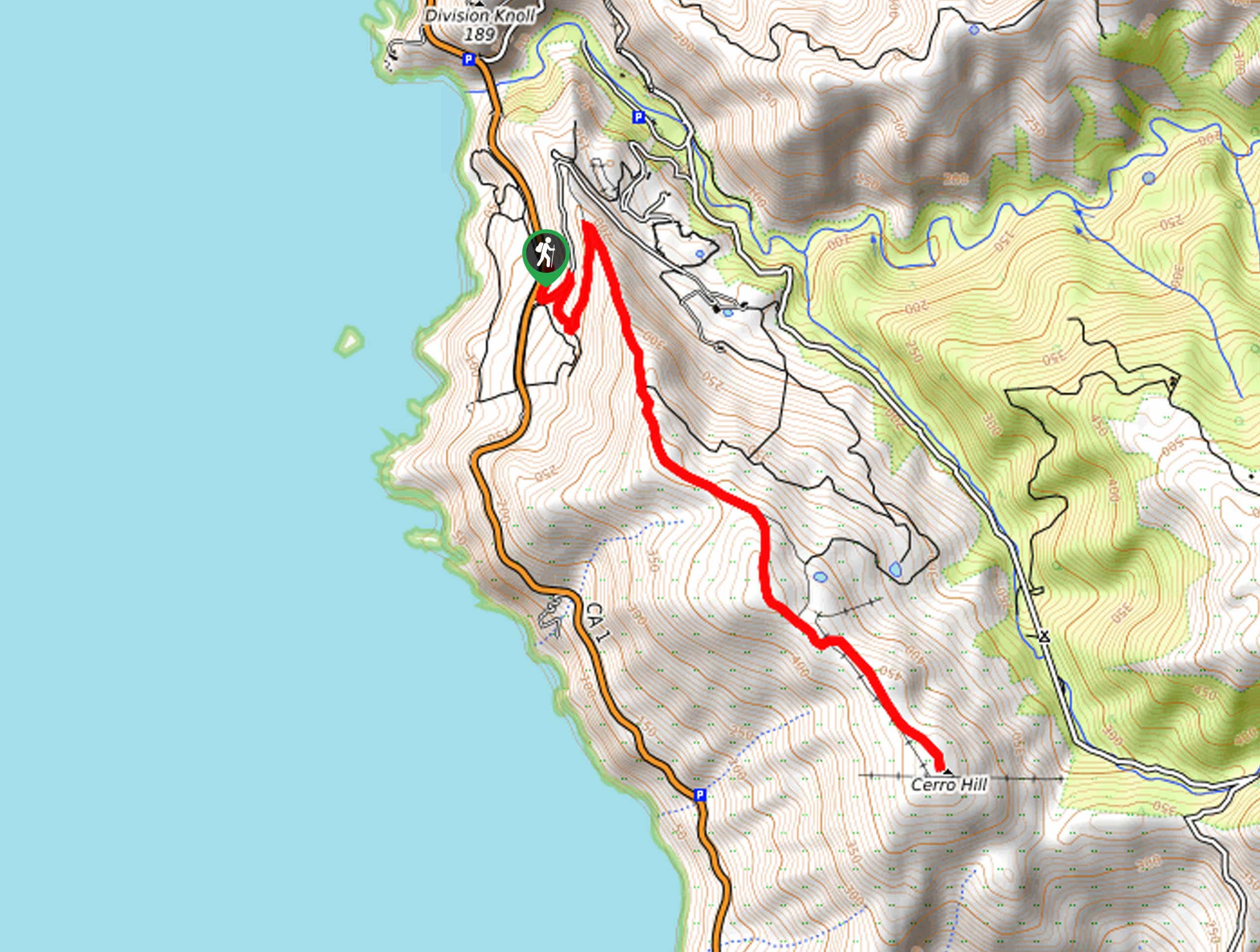
The Brazil Ranch Trail is an amazing adventure in the Los Padres National Forest that is sure to impress. Walk…


Comments