

Mount Pinos Trail
View PhotosMount Pinos Trail
Difficulty Rating:
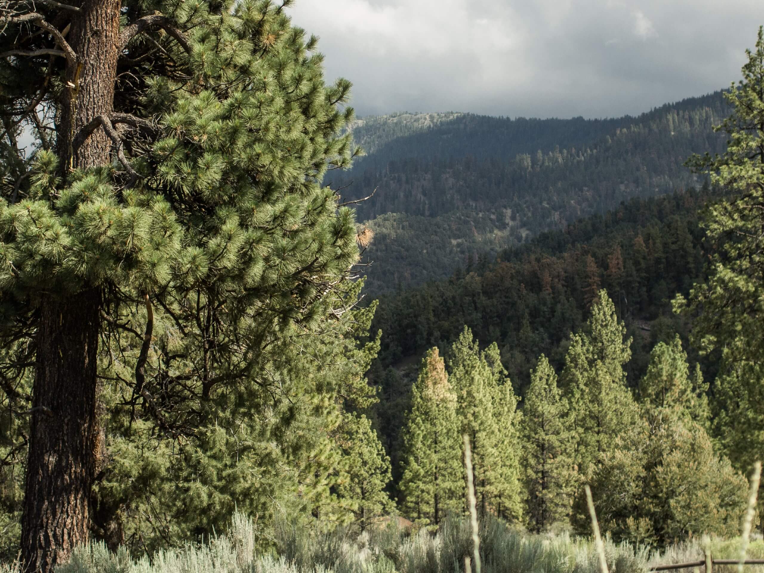
The Mount Pinos Trail is an excellent day hike in the Los Padres National Forest that can be enjoyed by adventurers of all ages and skill levels. Meander through chaparral brush and mixed conifers stands an epic overlook of Santa Barbara, the San Andreas Fault, the Caliente Range, and more.
Getting there
The Mount Pinos Hike departs from Chula Vista Trailhead off Mount Pinos Road.
About
| Backcountry Campground | |
| When to do | Year-round |
| Pets allowed | Yes - On Leash |
| Family friendly | Yes |
| Route Signage | Good |
| Crowd Levels | Extreme |
| Route Type | Out and back |
Mount Pinos Trail
Elevation Graph
Weather
Mount Pinos Trail Description
The Mount Pinos Trail is wonderfully scenic, offering a diversity of flora and epic views of the encompassing wilderness. Presenting an adventure for explorers of all ages, year-round, this route attracts a decent crowd—especially in the summer months. Those seeking a more tranquil experience are encouraged to head out in the morning. Note this path is almost entirely exposed, so check the forecasts and dress accordingly—don’t forget the SPF! When visiting in the winter, it is important to note that an Adventure Pass is needed, which costs $5USD a day. Wintertime expeditions may also require a pair of crampons or snowshoes.
Boasting an experience for all sorts of outdoor enthusiasts, Mount Pinos Trail is an adventurer’s haven. The summertime boasts the ideal climate for hiking, trail running, mountain biking, and our favorite—star gazing. Winter expeditions are equally as scenic, offering ideal snowshoeing and even backcountry skiing and snowboarding possibilities. No matter the season, the lush vegetation, wildlife, and unrivaled vistas from the overlook will not disappoint. Don’t forget to charge your camera and consider packing a picnic and have lunch overlooking the mountainous landscape. We love this trail if you can’t already tell, and we know you will too.
Your journey along the Mount Pinos Trail begins from the Chula Vista Trailhead off the Mount Pinos Nordic Base Parking Lot. Setting out from here, follow the Mount Condor Summit Trail north before diverting west at the first junction. From the trailhead, the path will gradually climb through the pine tree stands up to the peak, providing a great leg workout. Traveling west, the route will indulge you with a variety of vibrant wildflowers interspersed within the chaparral bushes in the summer months. Continue hiking, and the path will intersect with Amargosa Creek, which you will likely find parched.
The higher you climb, the more exposed the terrain will become, so enjoy the sparse tree shade! The Mount Condor Summit Trail will ultimately deliver you to the summit of Mount Pinos, where you will probably find yourself in the company of fellow explorers reveling in the beautiful views. Admire the scene of the southern Central Valley, the Sierra Nevada, the Caliente Range, and the San Andreas Fault. After appreciating the beauty and grandeur of the encompassing landscape, head back along the path the way you came to the trailhead.
Trail Highlights
Mount Pinos
Mount Pinos is the highest summit in Ventura County that boasts numerous opportunities for outdoor pursuits. Located at 8847ft in the Los Padres National Forest above Santa Barbara, this area sees plenty of snow in the winter months. Intrepid explorers can head out in the winter months and enjoy backcountry skiing or snowboarding. Year-round hikers can enjoy the diversity of flora and fauna exhibited along this route and marvel at the views of the San Andreas Fault, the Caliente Range, the Sierra Nevada, and on a clear day—Santa Barbara.
Frequently Asked Questions
How long is the Mount Pinos Trail?
The Mount Pinos Trail is a 3.6mi out-and-back hike.
When is the Mount Pinos Trail open?
The Mount Pinos Trail is open year-round, though in the winter there is a fee for parking at the trailhead.
Are there bears at Mount Pinos?
Yes, Mount Pinos is located in an area with high bear activity, so be bear aware as you hike.
Insider Hints
This trail sees snow in the winter months, so pack a pair of crampons or snowshoes
An Adventure Pass is needed in the winter months which cost $5USD a day or $30USD a year
Head out in the evening for some amazing stargazing opportunities—just don’t forget a headlamp!
There are no water sources along this route so pack plenty of water for your trip
This area sees high bear activity—be aware and when camping uses a bear canister and store away from your site
Similar hikes to the Mount Pinos Trail hike

Brazil Ranch Trail
The Brazil Ranch Trail is an amazing adventure in the Los Padres National Forest that is sure to impress. Walk…

Tequepis Trail
Challenge yourself along the Tequepis Trail. This demanding adventure in the Los Padres National Forest rewards hikers for their efforts…

Spyglass Ridge Road Hike
The Spyglass Ridge Road Hike would make a wonderful addition to an experienced hiker’s adventure itinerary. Demanding the navigation of…


Comments