

Oak Spring Trail
View PhotosOak Spring Trail
Difficulty Rating:
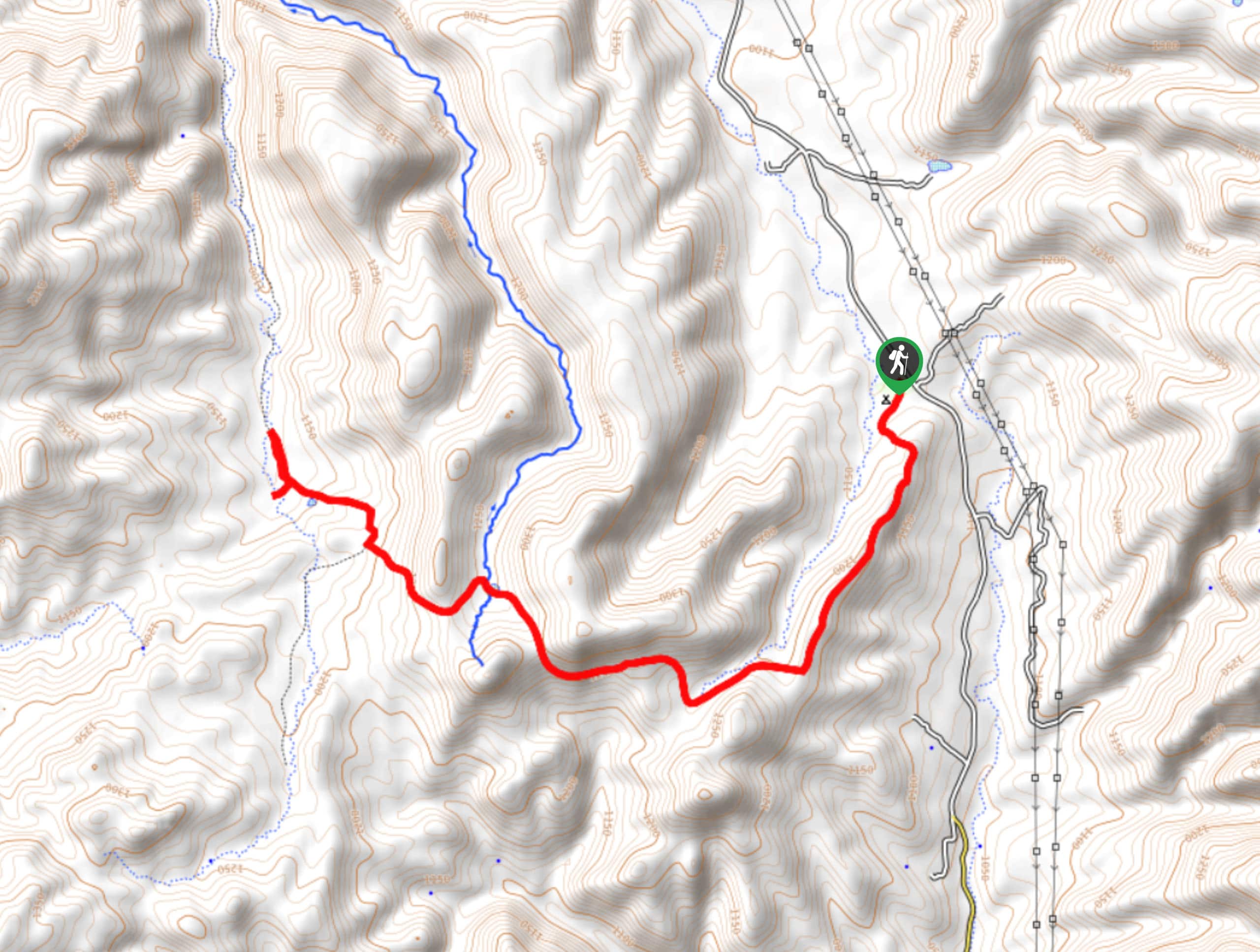
The Oak Spring Trail is a 7.5mi loop hike in the Tonto National Forest that can be reached quickly from Pine. This hike offers pleasant views of the rolling forest hills and the chance to see local wildlife. You may want a GPS route to help you find your way if you’ve not explored this trail before, and good boots and poles can help in areas of loose rock. Bring lots of water on this route.
Getting there
The trailhead for the Oak Spring Trail is at the end of FR 297.
About
| Backcountry Campground | No |
| When to do | Year-round |
| Pets allowed | Yes - On Leash |
| Family friendly | Older Children only |
| Route Signage | Average |
| Crowd Levels | Moderate |
| Route Type | Out and back |
Oak Spring Trail
Elevation Graph
Weather
Oak Spring Trail Description
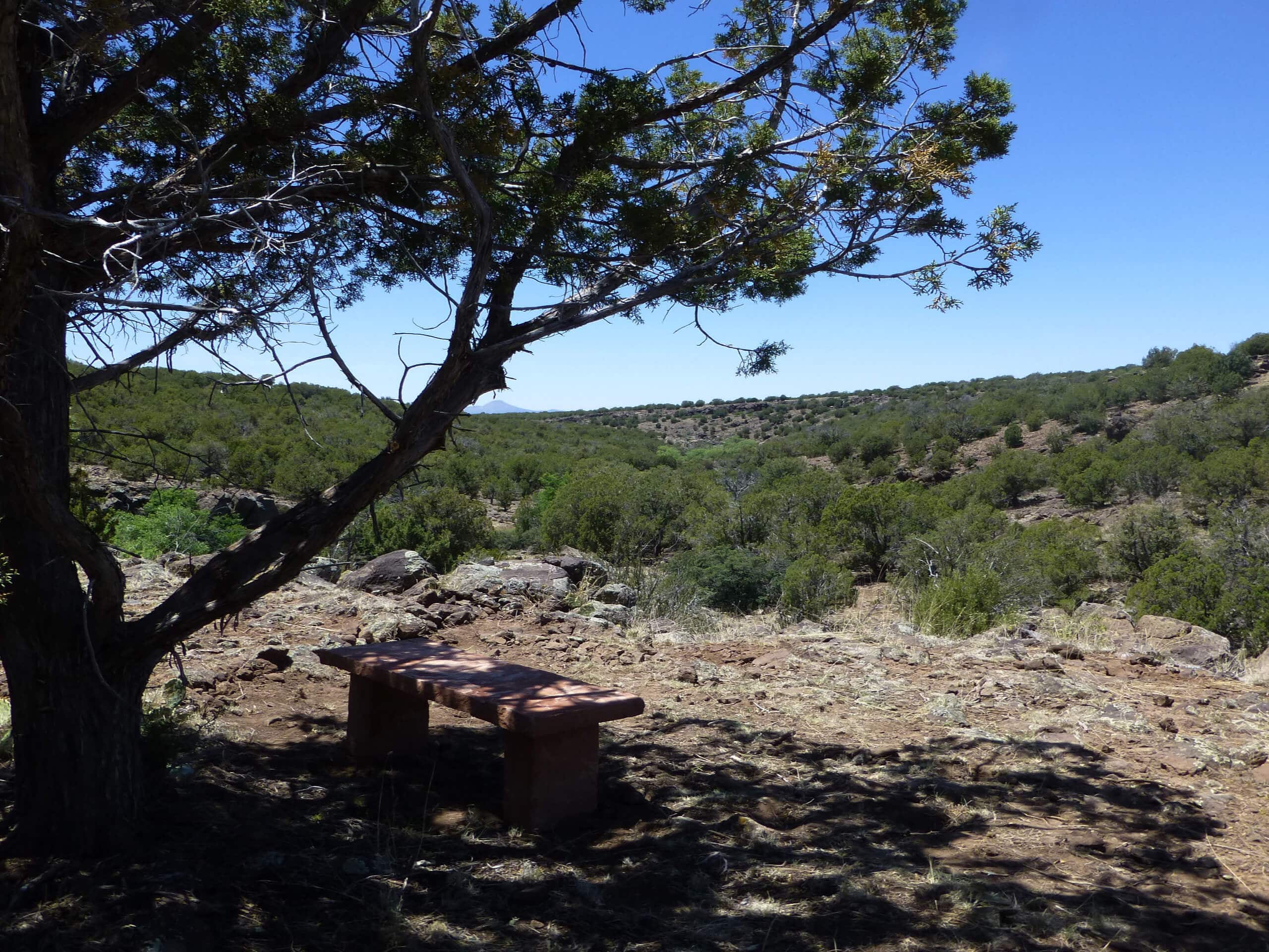
The Oak Spring Trail is a lovely hike through the forests near Pine, Arizona. This route doesn’t have a big view, but it’s a very pleasant trip through nature. With the varying scenery, the creeks, and the wildlife, it’s a worthwhile trip even if it doesn’t take you to a defined viewpoint.
We do recommend hiking in a group on this trail as it’s not very busy at all and users report wildlife encounters. Additionally, some rocky, loose sections of the trail make good boots and poles helpful to have. Bring lots of water if you’re hiking this route on a hot day.
From the trailhead, take the Arizona Trail across the road and then stay left across Pine Creek. You’ll enjoy a relaxed stroll across a ridge before descending a steep part of the trail off the end of the hill, where the route ends about halfway down. From here, turn around and retrace your steps.
Similar hikes to the Oak Spring Trail hike

Jacob’s Crosscut Trail
Jacob’s Crosscut Trail is an important route in the network of trails in Lost Dutchman State Park. This route is…

Bronco Trail
The Bronco Trail is a 7.9mi out and back route used for hiking and horseback riding. This trail…

Pine Canyon Trail Loop
The Pine Canyon Trail Loop in Pine, Arizona is a quick 2.7mi loop that is rated as easy.…


Comments