

Pass Mountain Saddle Hike
View PhotosPass Mountain Saddle Hike
Difficulty Rating:
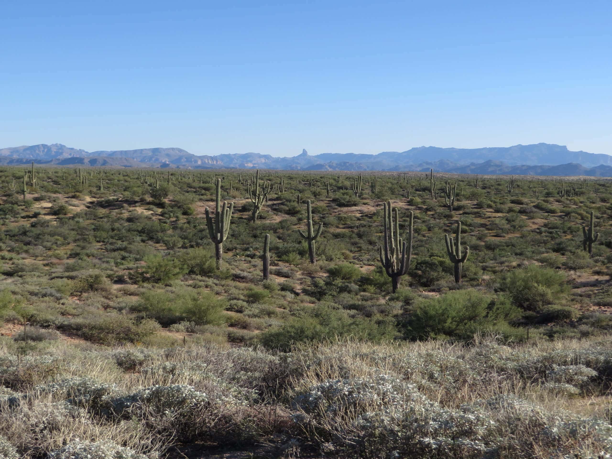
Pass Mountain Saddle is a much, much easier hike than the full ascent of Pass Mountain. It’s got none of the scrambling while still allowing you to enjoy the views and the lack of traffic this trail provides. While a little rocky near the end, it’s a trip suitable for all levels that won’t take too much time out of your day. Bring plenty of water and prepare for minimal shade on this route.
Getting there
The trailhead for the Pass Mountain Saddle is at the end of N Meridian Drive.
About
| Backcountry Campground | No |
| When to do | October-May |
| Pets allowed | Yes - On Leash |
| Family friendly | Yes |
| Route Signage | Poor |
| Crowd Levels | Moderate |
| Route Type | Out and back |
Pass Mountain Saddle Hike
Elevation Graph
Weather
Pass Mountain Saddle Hike Description
The Pass Mountain Saddle is a much more relaxed objective than Pass Mountain, which requires a lot of scrambling and hands-on climbing. In contrast, this route is laid-back enough for families and beginners. It’s not too long and, while a bit rocky, the terrain is quite manageable. Expect fairly light traffic on this route.
We don’t recommend this hike in the extreme heat of summer since there’s almost no shade. Bring lots of water, wear a hat, apply sunscreen, and remember to bring water for dogs if taking them along.
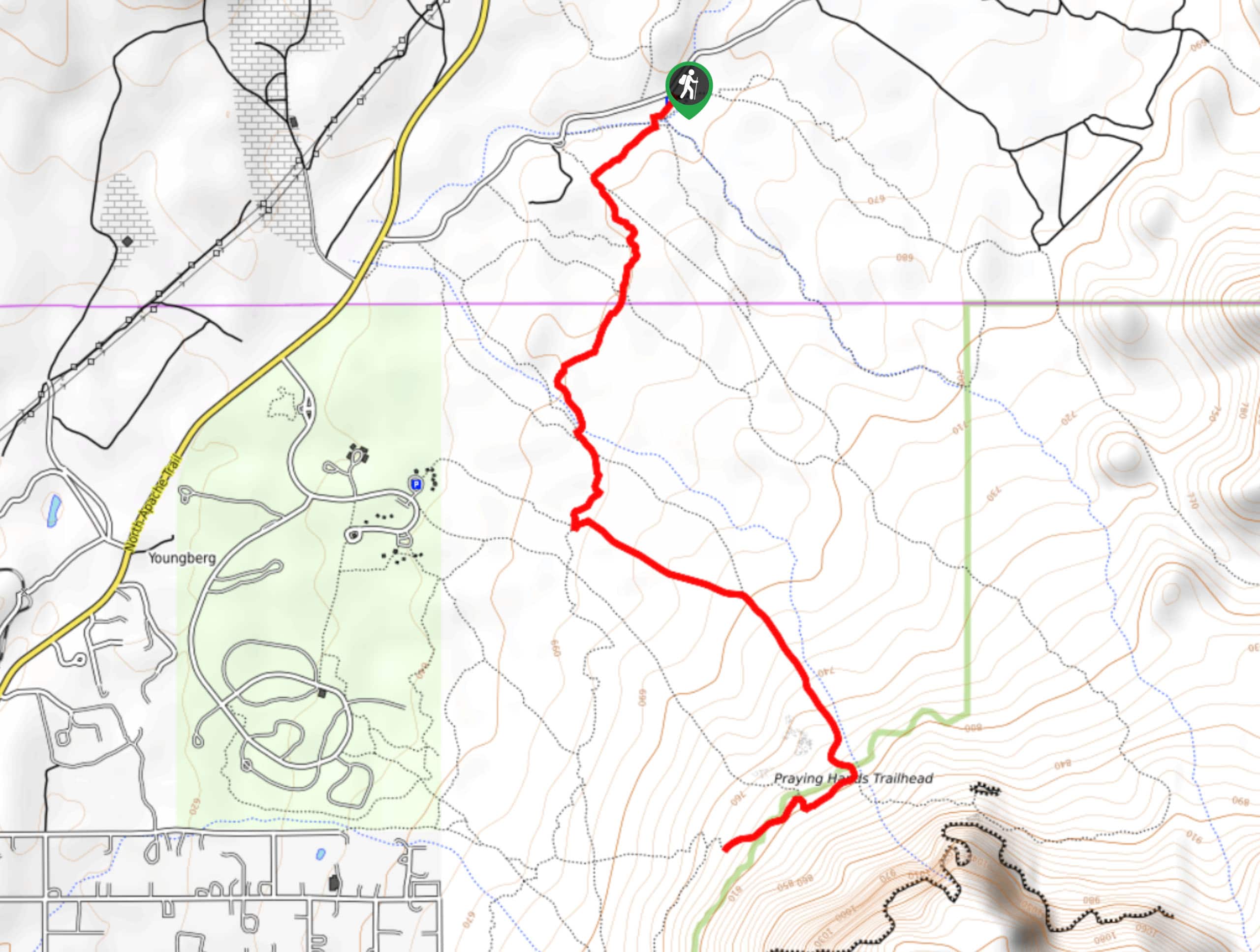
From the trailhead, take the route on your left. It comes to a T in a wash quickly. Hike down through the wash and look for the blue heart on the other side. You’ll hike alongside the base ridge of Pass Mountain. It’s quite relaxed until you start to climb up to the saddle, which is a bit rockier and steeper. The turnaround point is where the trail splits.
Similar hikes to the Pass Mountain Saddle Hike hike

Jacob’s Crosscut Trail
Jacob’s Crosscut Trail is an important route in the network of trails in Lost Dutchman State Park. This route is…

Bronco Trail
The Bronco Trail is a 7.9mi out and back route used for hiking and horseback riding. This trail…

Pine Canyon Trail Loop
The Pine Canyon Trail Loop in Pine, Arizona is a quick 2.7mi loop that is rated as easy.…


Comments