

Bearfoot Trail
View PhotosBearfoot Trail
Difficulty Rating:
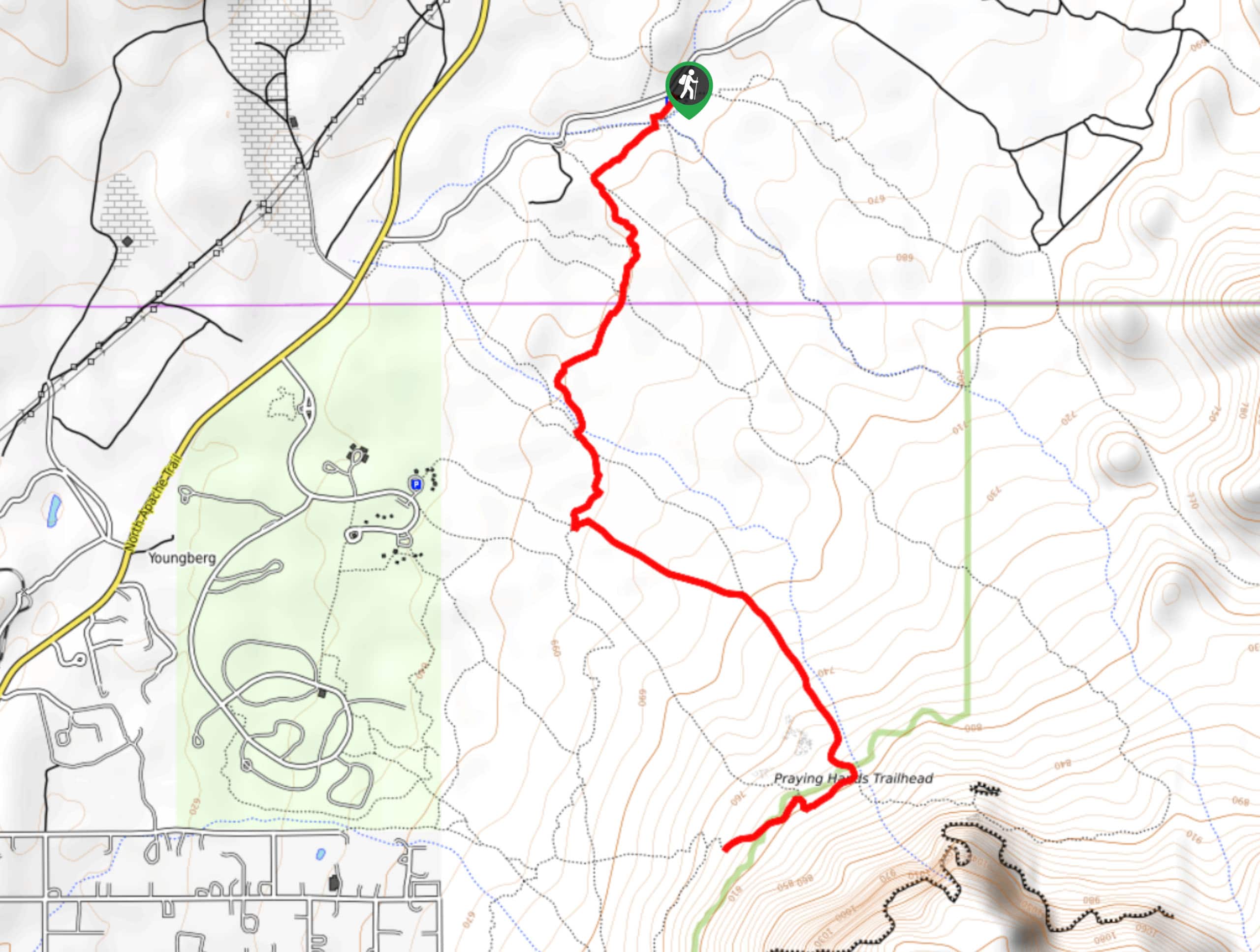
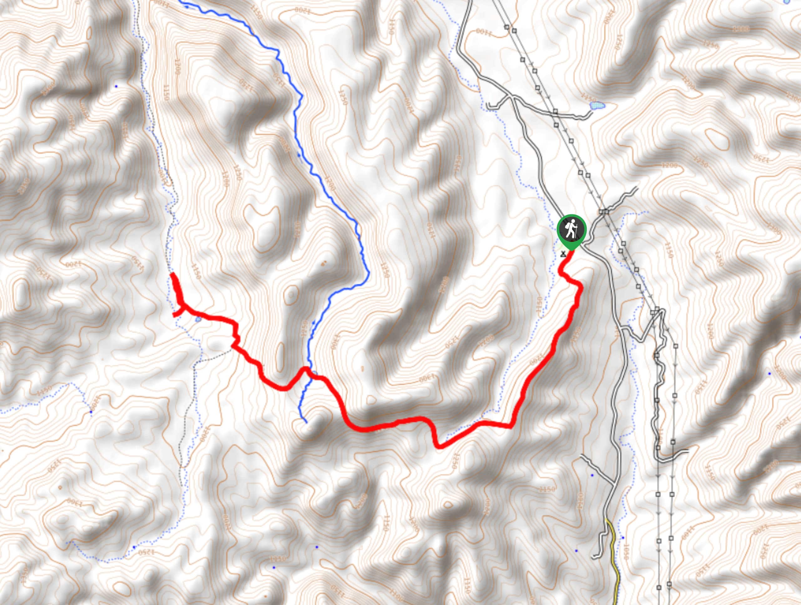
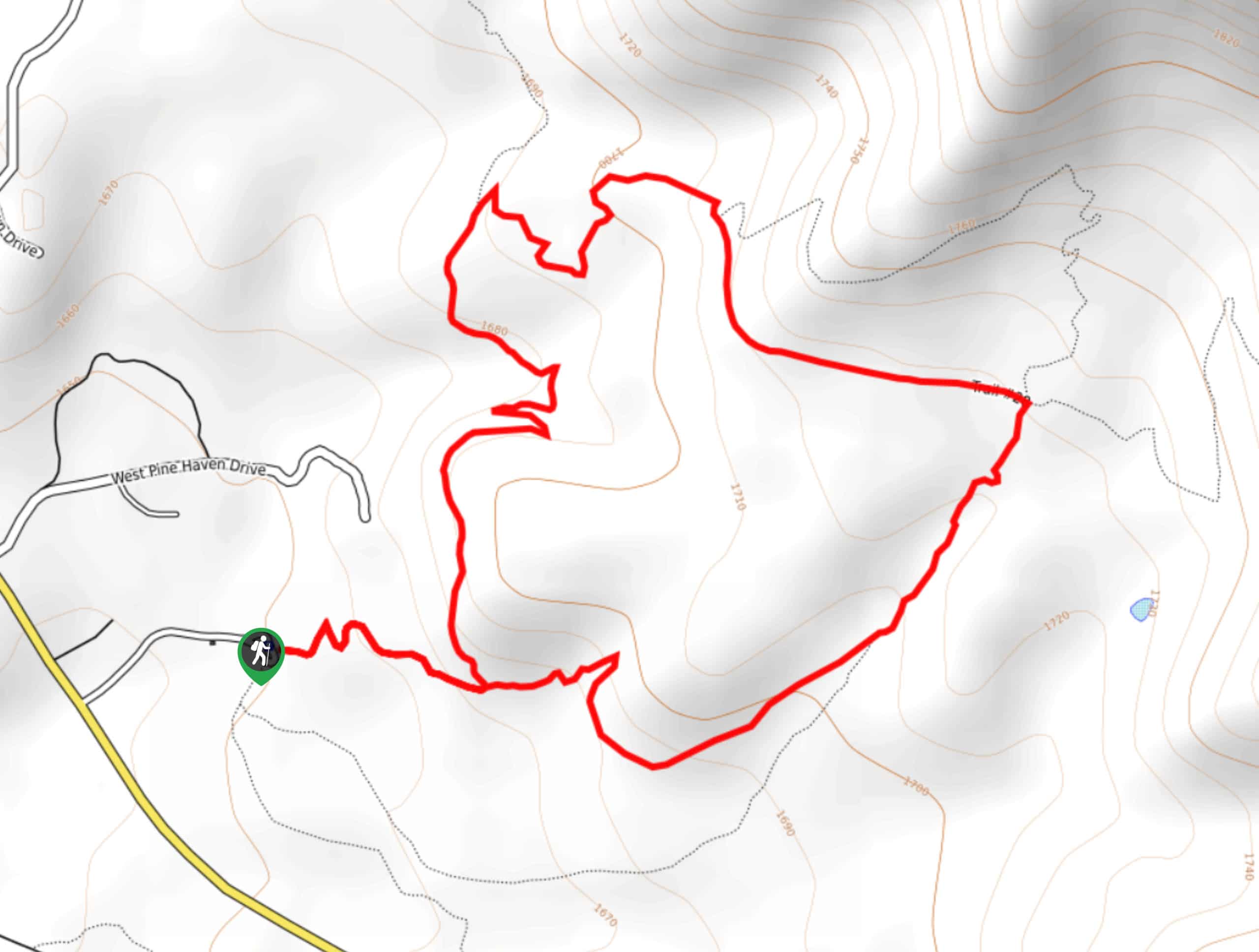
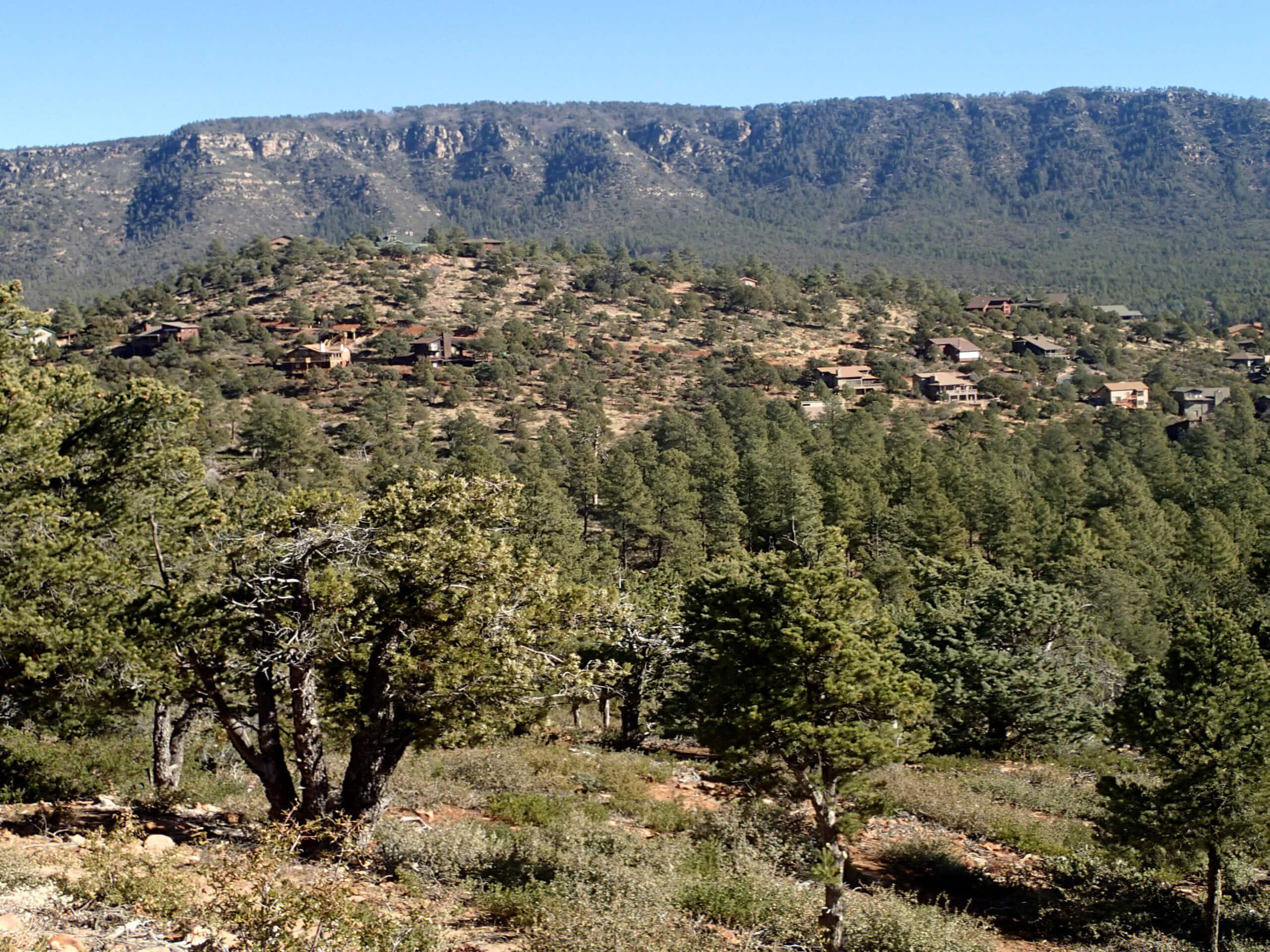
The Bearfoot Trail is a long, relaxed hike that starts near Strawberry and travels down into the canyon north of Pine. While the trail goes all the way to the Bearfoot Bridge, this is a nice choice for families or hikers who want to go as far as they like since the views are consistent throughout. Expect good signage and light traffic on this hike.
Getting there
The trailhead for the Bearfoot Trail is on Sr 87 across from the Strawberry Trailhead.
About
| Backcountry Campground | No |
| When to do | Year-round |
| Pets allowed | Yes - On Leash |
| Family friendly | Older Children only |
| Route Signage | Good |
| Crowd Levels | Low |
| Route Type | Out and back |
Bearfoot Trail
Elevation Graph
Weather
Bearfoot Trail Description
The Bearfoot Trail reaches from Strawberry down into the canyon north of Pine. While the trail itself goes all the way to the Bearfoot Bridge, many hikers choose to enjoy a shorter section of this route. Keep your eyes peeled for wildlife as you enjoy this hike.
Some of this route is close to private homes and property, so remember to keep dogs leashed and take all your trash with you when you’re hiking near people’s homes. If you choose to do this hike in the summer, bring plenty of water and consider a hat and sunscreen.
The trailhead for this hike is across the road from the Strawberry Trailhead. You’ll hike along the highway for a few steps before descending the canyon wall and beginning a traverse along its western side. The route is rocky but pleasant. Hike past a residential area and then finish your outbound trip at the Bearfoot Bridge. From the bridge, or wherever you decide to call it a day, turn back and retrace your steps.
Similar hikes to the Bearfoot Trail hike

Jacob’s Crosscut Trail
Jacob’s Crosscut Trail is an important route in the network of trails in Lost Dutchman State Park. This route is…

Bronco Trail
The Bronco Trail is a 7.9mi out and back route used for hiking and horseback riding. This trail…

Pine Canyon Trail Loop
The Pine Canyon Trail Loop in Pine, Arizona is a quick 2.7mi loop that is rated as easy.…


Comments