

Drew Trail via Highline Trail
View PhotosDrew Trail via Highline Trail
Difficulty Rating:
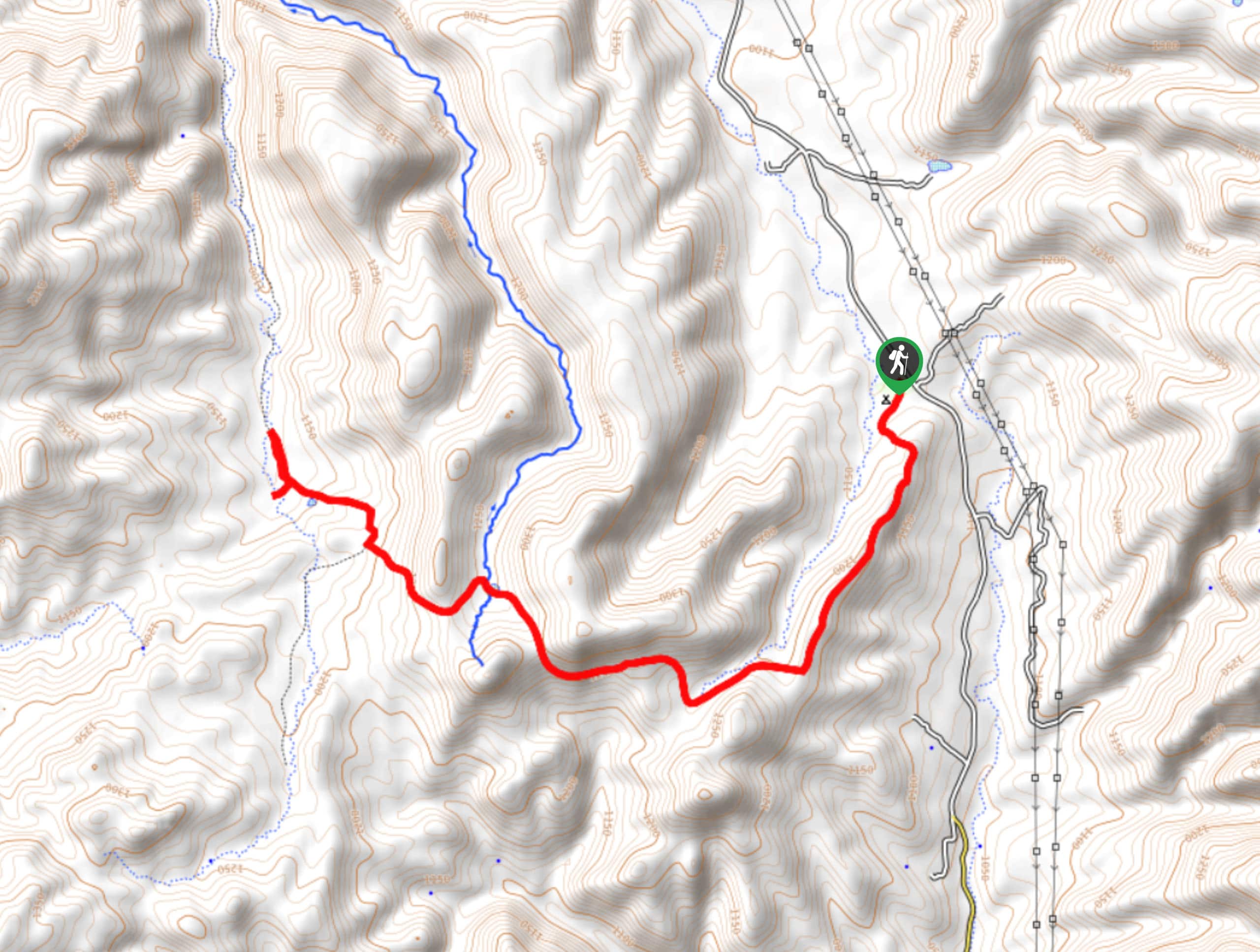
Drew Trail via Highline Trail is a moderate 13.2mi hike that leads you up the side of a mesa to a viewpoint near a campground. This hike is delightful on a day where you’re searching for shade and it’s at its very best in the fall when the colors of the trees turn. You can hike this route as is or use it to connect to the network of trails atop the mesa. Expect light traffic.
Getting there
The trailhead for the Drew Trail via Highline Trail is at the end of Forest Road 284.
About
| Backcountry Campground | FR 9350 Campground |
| When to do | Year-round |
| Pets allowed | Yes - On Leash |
| Family friendly | Yes |
| Route Signage | Average |
| Crowd Levels | Low |
| Route Type | Out and back |
Drew Trail via Highline Trail
Elevation Graph
Weather
Drew Trail via Highline Trail Description
Drew Trail via Highline Trail is a nicely shaded hike with gorgeous views from atop a mesa viewpoint. It’s a real treat in the fall when the colors start to turn, but we recommend it any time of the year. There’s a campground atop the mesa you can use, or you can explore the other trails that are accessible from the end of this one.
From the trailhead, take Highline Trail across the creek, staying right where a spur trail heads off to the left. You’ll have a few steeper climbs broken up by flatter sections until the final climb to the top.
Once atop the mesa, admire the wide-open views. While the route extends further to General Crook Trail, there’s not much to see beyond the viewpoint, so you can turn around here and descend if you prefer. If not, keep going to check out the trails up here or set up at one of the many campsites.
Similar hikes to the Drew Trail via Highline Trail hike

Jacob’s Crosscut Trail
Jacob’s Crosscut Trail is an important route in the network of trails in Lost Dutchman State Park. This route is…

Bronco Trail
The Bronco Trail is a 7.9mi out and back route used for hiking and horseback riding. This trail…

Pine Canyon Trail Loop
The Pine Canyon Trail Loop in Pine, Arizona is a quick 2.7mi loop that is rated as easy.…


Comments