

Bartlett Reservoir Trail
View PhotosBartlett Reservoir Trail
Difficulty Rating:
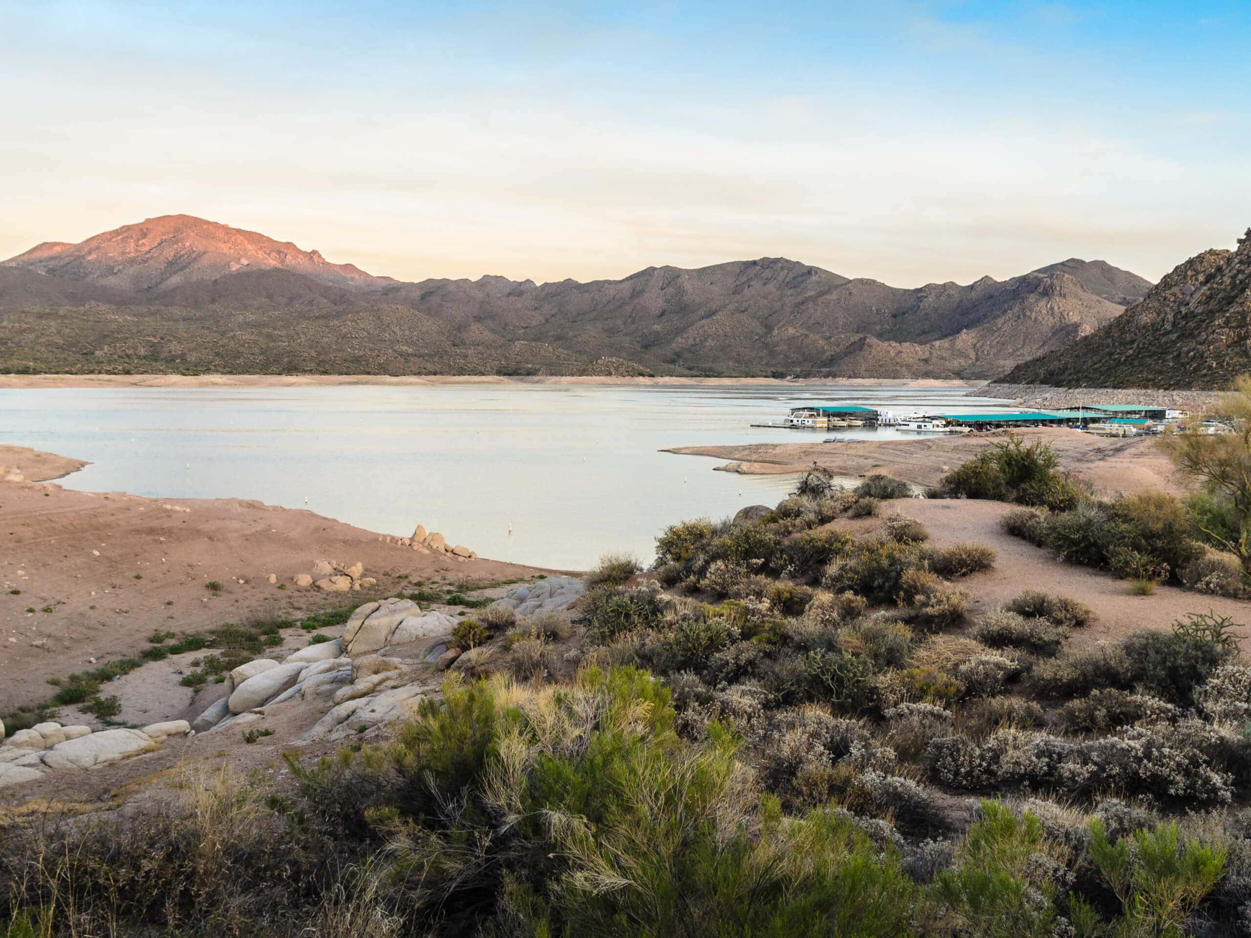
The Bartlett Reservoir Trail hugs the shores of Bartlett Lake with SB Mountain looming overhead. This hike is moderate with some inclines and some laid-back sections. With lots of little coves to stop into for a rest, it’s a good hike to take at a leisurely pace. We do recommend bringing a GPS route as the trail can become hard to find at times.
Getting there
The trailhead for the Bartlett Reservoir Trail is on FR 459A.
About
| Backcountry Campground | No |
| When to do | Year-round |
| Pets allowed | Yes - On Leash |
| Family friendly | Yes |
| Route Signage | Average |
| Crowd Levels | Moderate |
| Route Type | Out and back |
Bartlett Reservoir Trail
Elevation Graph
Weather
Bartlett Reservoir Trail Description
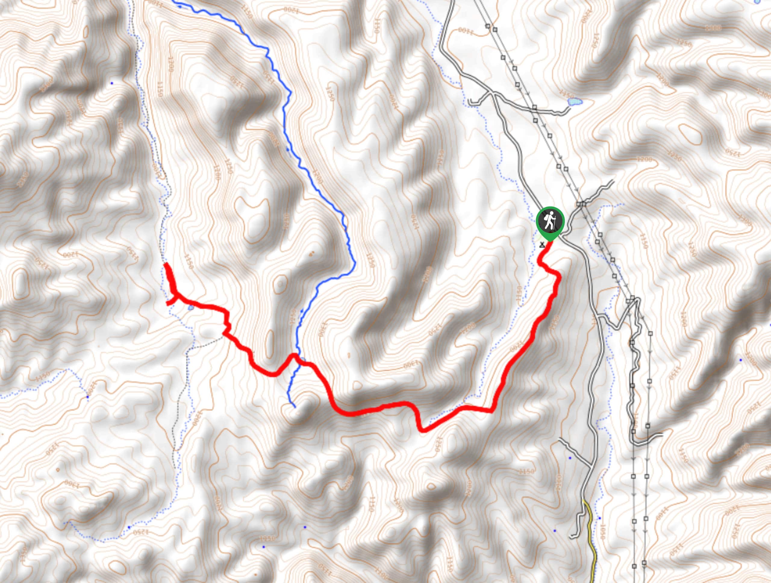
The Bartlett Reservoir Trail traces the shore of Bartlett Lake with a great view of SB Mountain to enjoy the whole way. This route has some steeper sections and some easy stretches, making it suitable for most skill levels. You can continue further along the trail if you like, but this route guide follows a 4.5mi section of the trail.
A few things to note: this route gets quite overgrown the further you go. Wear long pants to avoid getting scraped up. You’ll also want a GPS route to refer to since it can become easy to lose the trail the further you go. If you find you’re not sure which way to head, you can always turn back and enjoy one of the little coves along the shore on your return trip. Bring lots of water.
From the trailhead, the route passes Rattlesnake Cove and wanders above the shoreline. You’ll likely see people fishing in the lake as you hike. The trail climbs above the water before dipping back down towards it, with direct water access only at Rattlesnake Cove.
Where the route ends, turn around and retrace your steps to the trailhead.
Similar hikes to the Bartlett Reservoir Trail hike

Jacob’s Crosscut Trail
Jacob’s Crosscut Trail is an important route in the network of trails in Lost Dutchman State Park. This route is…

Bronco Trail
The Bronco Trail is a 7.9mi out and back route used for hiking and horseback riding. This trail…

Pine Canyon Trail Loop
The Pine Canyon Trail Loop in Pine, Arizona is a quick 2.7mi loop that is rated as easy.…


Comments