

Mount Ord Trail
View PhotosMount Ord Trail
Difficulty Rating:
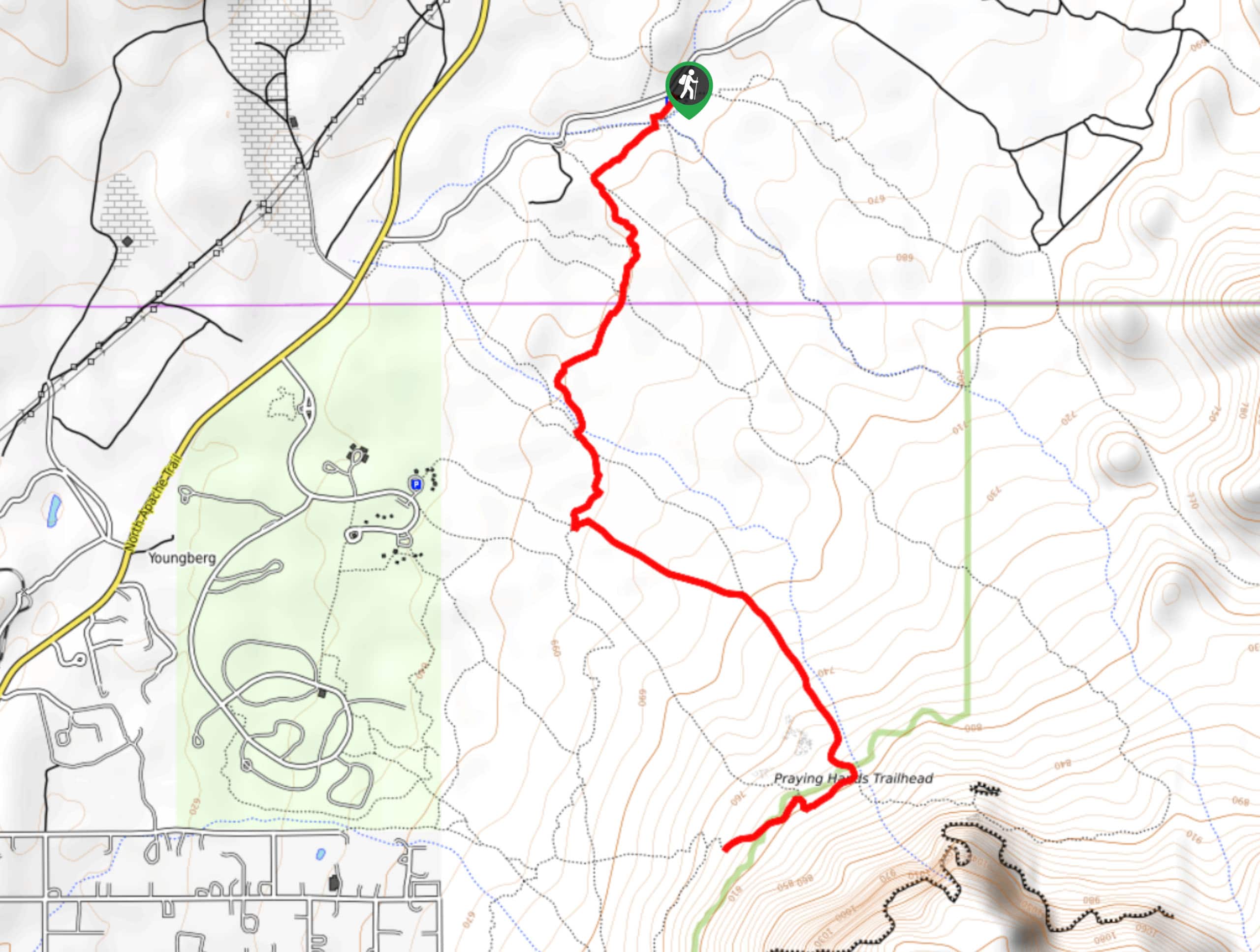
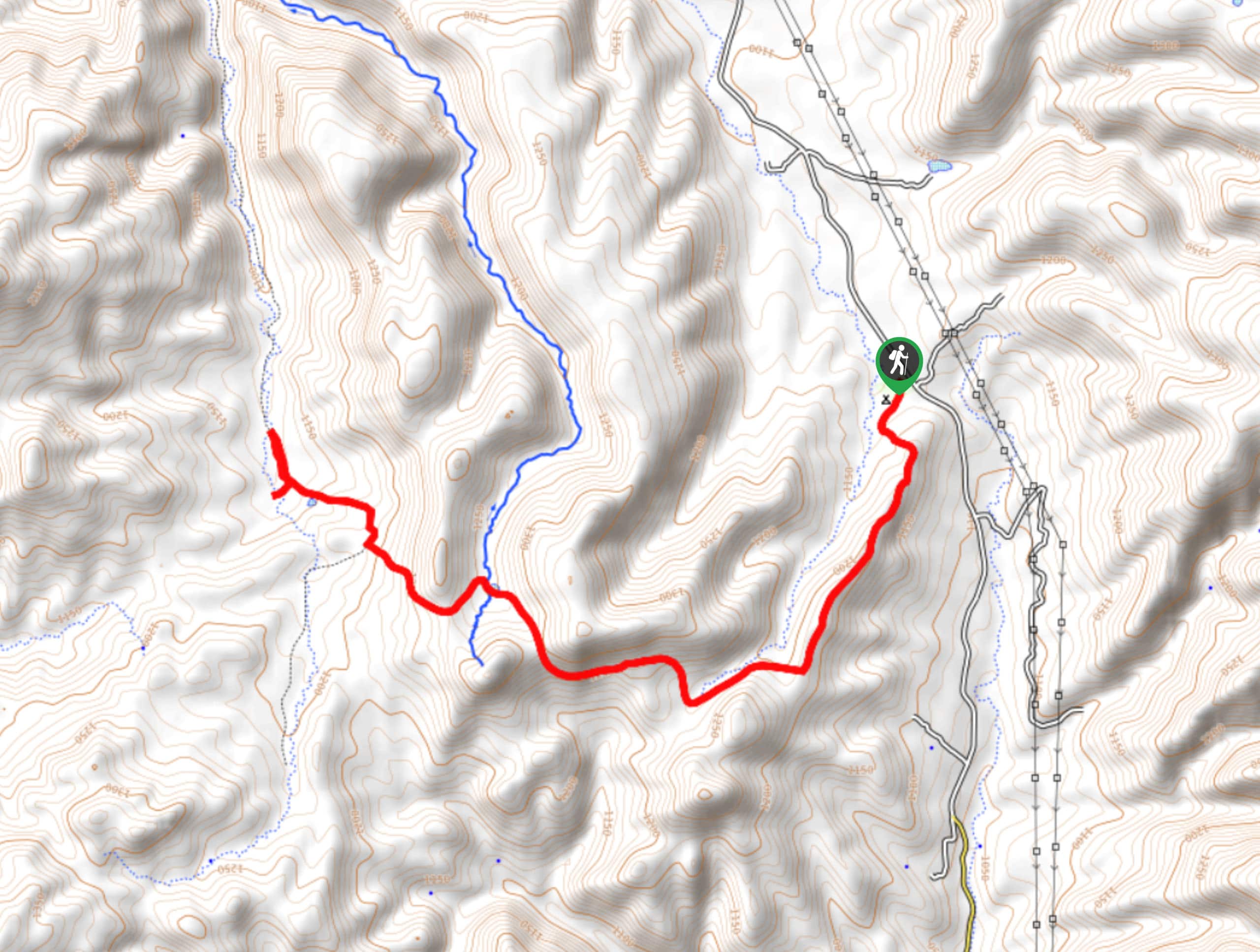
Mount Ord Trail is a 14.4mi hike in the Tonto National Forest that takes you up to the summit of, you guessed it, Mount Ord. This is a hard hike both in terms of distance and elevation gain, making it a popular pick for hikers training for Rim to Rim. There are a few challenges of note on the trail, so this is a route best suited to adventurous, more experienced hikers.
Getting there
The trailhead for the Mount Ord Trail is on Beeline Highway.
About
| Backcountry Campground | No |
| When to do | Year-round |
| Pets allowed | No |
| Family friendly | No |
| Route Signage | Average |
| Crowd Levels | Moderate |
| Route Type | Out and back |
Mount Ord Trail
Elevation Graph
Weather
Mount Ord Trail Description
The hike up Mount Ord is no task for the faint of heart, but it’s a perfect pick if you’re training for multi-day trips or you just fancy a real leg burner. The hike offers a great vantage point over the surrounding landscape, but it’ll make you work for it.
If you’re coming from the direction of Mesa, don’t turn at the sign for Mount Ord. That’s an access road that’s far less fun to hike. Continue about 4 miles further to find the hiking trailhead. Bring poles, good boots, plenty of water, and sun protection for this hike.
From the trailhead, the route twists its way up the mountain over a series of narrow switchbacks and turns. There is one section about a mile in where the trail is entirely washed out. The ditch here is up to 7 feet high in places and you’ll need to climb down and then out. We suggest doing this hike in a group to make sure nobody gets caught up in this wash.
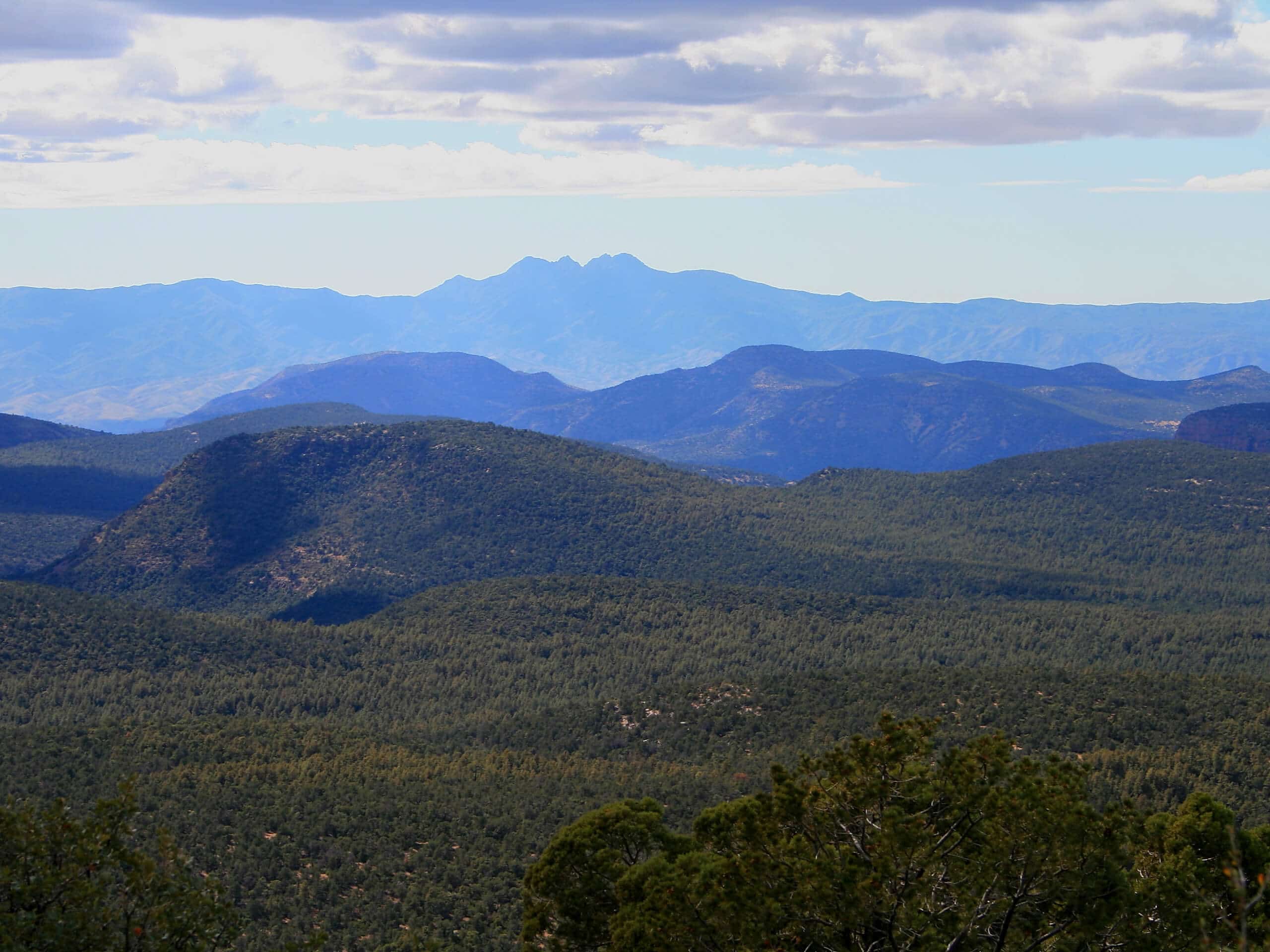
From the top, you’ll be able to enjoy views of nearby Little Mount Ord, Baker Mountain, Red Rock, and more. When you’re ready, you’ll return the same way you came up.
Similar hikes to the Mount Ord Trail hike

Jacob’s Crosscut Trail
Jacob’s Crosscut Trail is an important route in the network of trails in Lost Dutchman State Park. This route is…

Bronco Trail
The Bronco Trail is a 7.9mi out and back route used for hiking and horseback riding. This trail…

Perlite Road to Arnett Creek Loop
The Perlite Road to Arnett Creek Loop takes you through a section of the Boyce Thompson Arboretum grounds and through…


Comments