

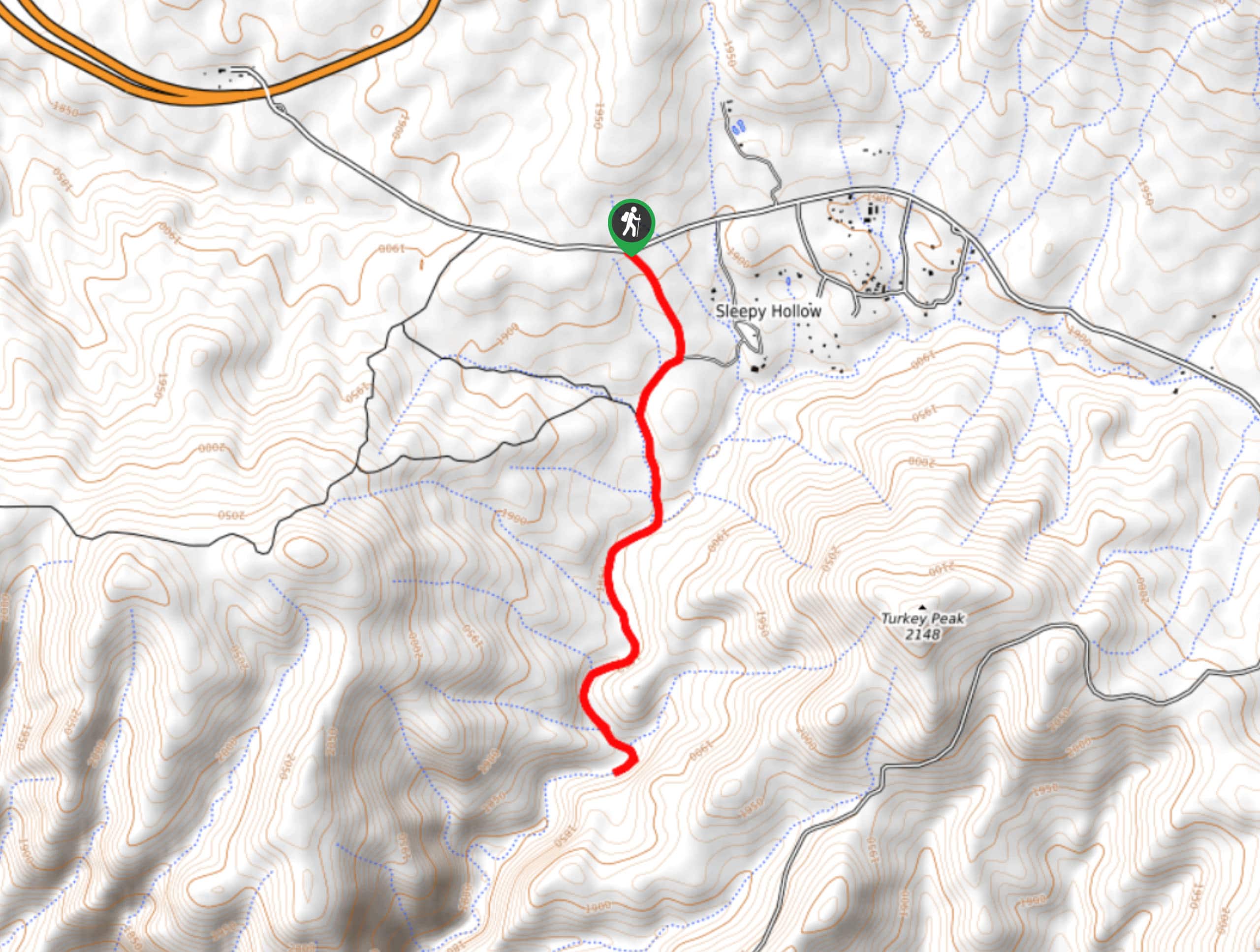
Gordon Creek Falls Trail
View PhotosGordon Creek Falls Trail
Difficulty Rating:
Gordon Creek Falls Trail is an enjoyable hike packed with cliff views and flowing water. When the waterfalls are running, they’re quite scenic. The hike isn’t too difficult and should be suitable for families and beginners. Watch for horned toads, squirrels, and rattlesnakes on this route. While the trail is quite straightforward, those who haven’t visited before might want the help of a GPS route to follow.
Getting there
The trailhead for the Gordon Creek Falls Trail is on Colcord Road.
About
| Backcountry Campground | No |
| When to do | Gordon Creek Falls Trail |
| Pets allowed | Yes - On Leash |
| Family friendly | Yes |
| Route Signage | Average |
| Crowd Levels | Low |
| Route Type | Out and back |
Gordon Creek Falls Trail
Elevation Graph
Weather
Gordon Creek Falls Trail Description
When they’re flowing, the Gordon Creek Falls are a scenic sight at the end of a neat box canyon. This hike has a solid bang for your buck when you consider the minimal effort required overall and the pretty sights you’ll see.
The first half of this trail is much easier than the second half, which gets a little more adventurous but isn’t too difficult to manage. Try to visit when there’s been recent rain to see the waterfalls flowing. Additionally, watch for critters on this hike. Users report seeing everything from toads to cows to rattlesnakes.
When arriving, park in the small space on Colcord Road at the powerlines just past MP 001. You’ll start with a lovely hike through the pines on an old road. This is an easy warm-up. Continue along the creek into the canyon, hiking along the creek bed. You’ll be doing a bit of boulder-hopping to get to the falls. The first waterfall is often small, but the second usually has more water flowing. Once you’re done, you’ll head back on the same route.
Similar hikes to the Gordon Creek Falls Trail hike
Jacob’s Crosscut Trail
Jacob’s Crosscut Trail is an important route in the network of trails in Lost Dutchman State Park. This route is…
Bronco Trail
The Bronco Trail is a 7.9mi out and back route used for hiking and horseback riding. This trail…
Pine Canyon Trail Loop
The Pine Canyon Trail Loop in Pine, Arizona is a quick 2.7mi loop that is rated as easy.…


Comments