

Massacre Falls Trail
View PhotosMassacre Falls Trail
Difficulty Rating:
As the legends of the Superstition Wilderness say, a rich Mexican family came to this area to mine gold in the 1840s. Cornered and killed by the Apache, Massacre Falls and Massacre Falls Trail got their names from this bloody past. Don’t let the moniker deter you, though. This is a great hike with lots of pleasant scenery and not as much violence these days.
Massacre Falls are seasonal, so you’ll want to plan to visit when there’s been some recent rain. Generally, a hike in the monsoon season is best as long as you avoid the monsoon itself and prepare for the associated heat. You can also visit when snowmelt in the mountains is running off.
Getting there
The trailhead for the Massacre Falls Trail is off Forest Road 78.
About
| Backcountry Campground | No |
| When to do | October-June |
| Pets allowed | Yes - On Leash |
| Family friendly | Yes |
| Route Signage | Average |
| Crowd Levels | Extreme |
| Route Type | Out and back |
Massacre Falls Trail
Elevation Graph
Weather
Massacre Falls Trail Description
Back in the 1840s, the Peralta family came from Northern Mexico to mine the gold-rich Superstition Wilderness. In 1848, they were preparing to head back to Mexico with their spoils when they were cornered and attacked by the Apache. All but a few members of the family were killed. After the attack, the Apache covered the entrance to the mine and hid the gold.
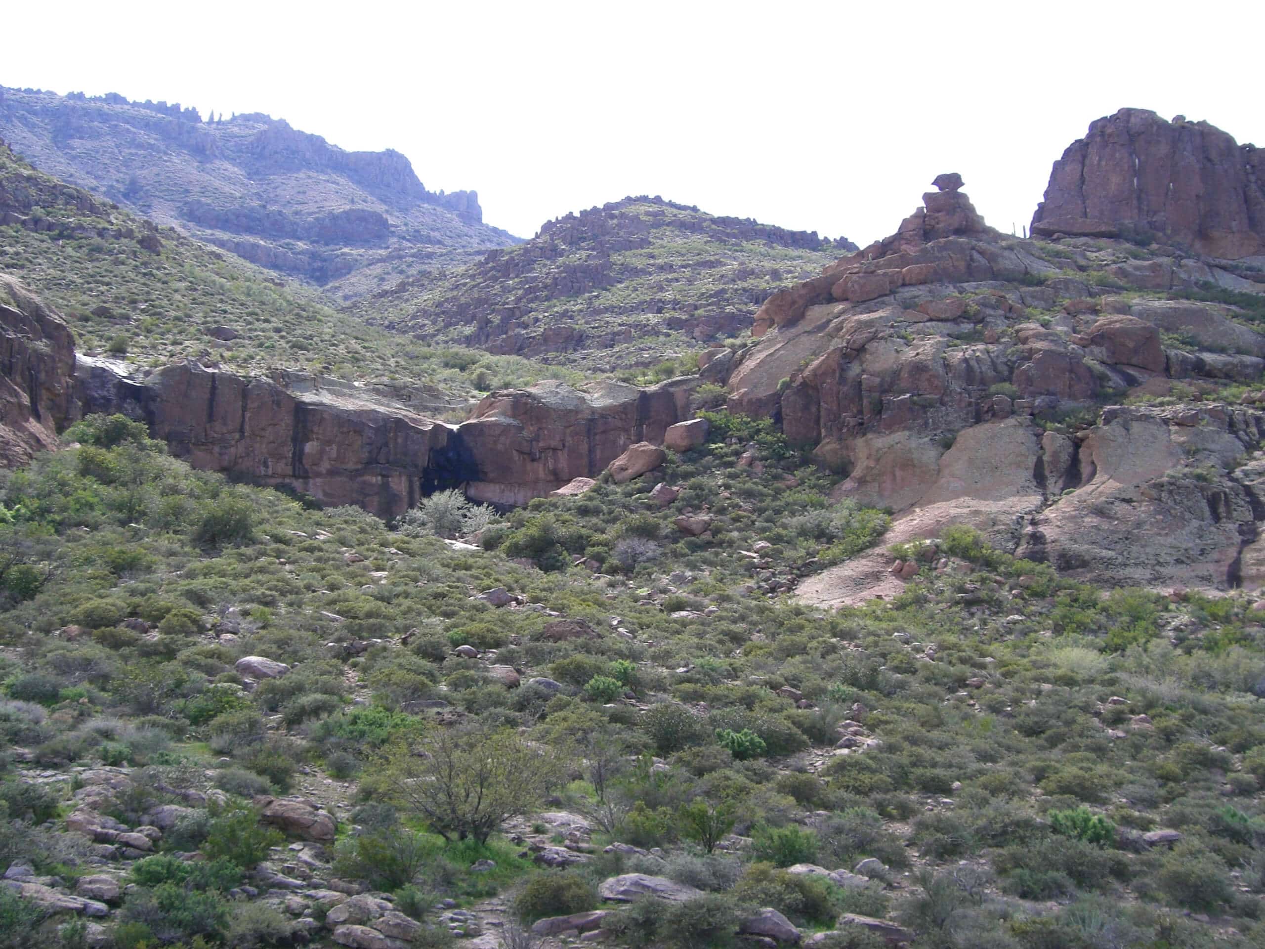
These days, Massacre Falls Trail has a scarier name than actual existence, thankfully. This route leads through the storied wilderness of the Superstition Mountains to a waterfall. The route has impressive views at several points and takes you past an abandoned mine shaft.
This hike is moderately difficult. There’s a bit of gradual elevation gain towards the second half of the hike but it’s never too intense, making this a viable option for families and beginners. There isn’t much shade, so bring more water than you think you’ll need.
The original trailhead for this route has been disused and returned to the desert. There’s a new access point at the trailhead for Jacob’s Crosscut.
From the trailhead, look to the east where there’s an old building foundation. Take this trail. About 0.8mi into the hike, you’ll pass the old parking area. Find the gap in the fence and resume your trek.
About a mile into the hike, you’ll see the old mine shaft on your left. Further on, there’s a viewpoint with an unbelievable view of the Superstition Mountains. Pause here to marvel at all you can see.
There’s a trail split before the falls. Stay right to hike along the bottom of the cliff ahead in the direction of the mountains. Going left will lead you to a cliff which has great views but isn’t your destination. Look for the falls to the west.
The falls are often fairly weak, so try to time your trip post-monsoon or when there’s snowmelt.
When you’re done admiring the falls, you’ll return to the trailhead the same way you came in.
Hiking Route Highlights
Massacre Falls
Massacre Falls is a seasonal waterfall in the Superstition Wilderness of Arizona. The falls got their name from the massacre of the Peralta family by the Apache in the mid-1800s. As an area with a rich (pun intended) mining history, you’ll also see an old mine shaft en route to the falls. The falls tend to dry up in the summer and early fall and flow when there is snowmelt or after a monsoon.
Frequently Asked Questions
Is Massacre Falls flowing?
The falls don’t flow at all times. Try to time your visit in the spring when there’s snowmelt or after a monsoon.
How do I get to Massacre Falls Trail?
There’s a new trailhead for Massacre Falls Trail at the Jacobs Crosscut/Treasure Loop trailhead near Goldfield.
Insider Hints
The Goldfield Ghost Town is just east of this trailhead. Check it out before or after your hike for a glimpse into the region’s mining past.
There’s a modest day-use fee at the trailhead for this hike.
Similar hikes to the Massacre Falls Trail hike

Jacob’s Crosscut Trail
Jacob’s Crosscut Trail is an important route in the network of trails in Lost Dutchman State Park. This route is…

Bronco Trail
The Bronco Trail is a 7.9mi out and back route used for hiking and horseback riding. This trail…

Pine Canyon Trail Loop
The Pine Canyon Trail Loop in Pine, Arizona is a quick 2.7mi loop that is rated as easy.…


Comments