

Box Canyon Trail
View PhotosBox Canyon Trail
Difficulty Rating:
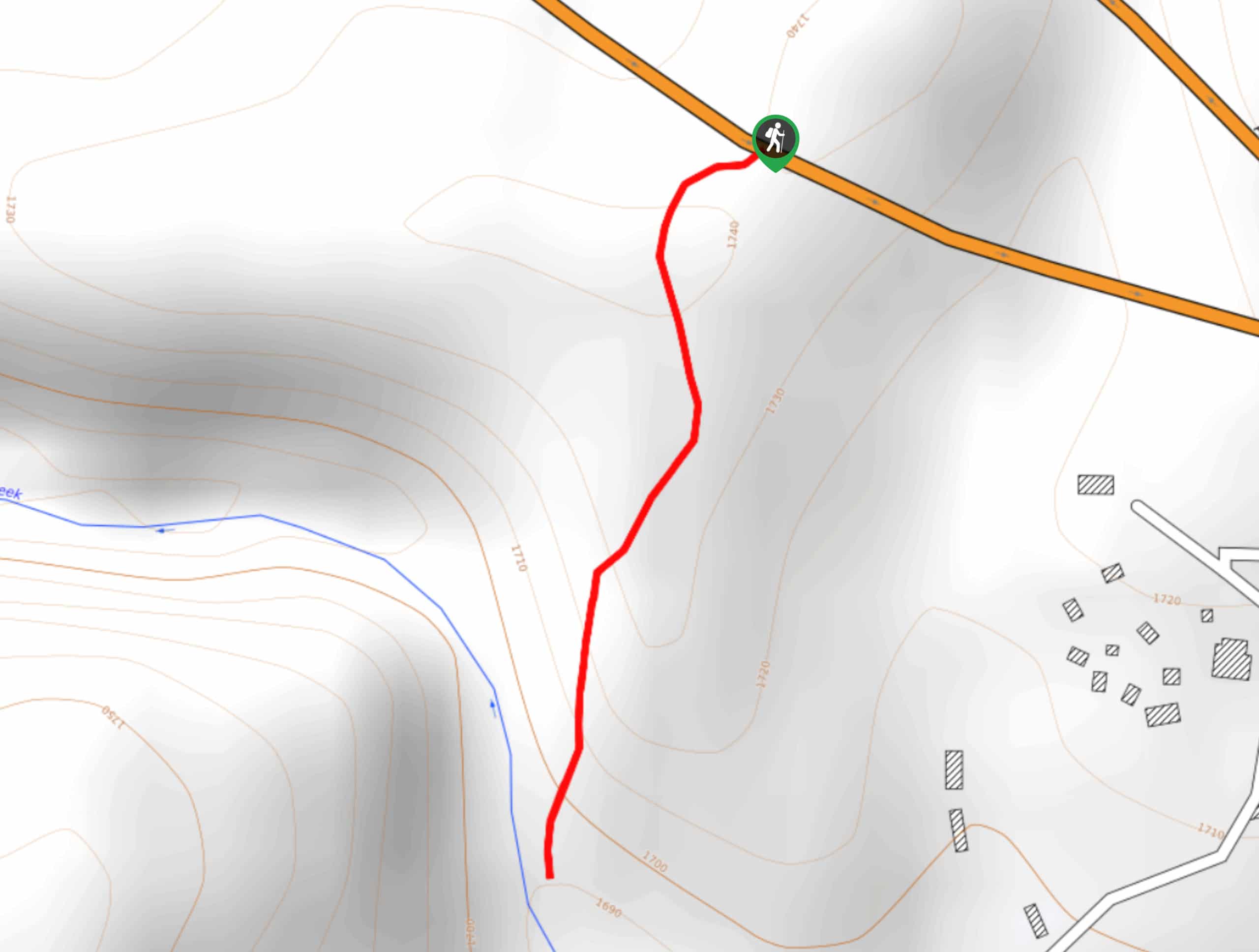
When the temperatures start to soar, you need a chilled-out afternoon in a refreshing swimming hole. The Box Canyon Trail is a quick 0.8mi hike that leads you down into a box canyon with a swimming hole in it. The red granite walls are gorgeous and the water feels perfect when the sun is shining.
This route is good for families, with only a bit of steep climbing needed to get down into the canyon. Additionally, it’s still a bit of a hidden gem that doesn’t see much traffic. You might just get the place to yourself, which is always a plus.
Note that the parking area and trailhead for this hike can both be tough to find. Bring a GPS track or a map with you to help you find your way.
Getting there
The trailhead for the Box Canyon Trail is on AZ-260 East.
About
| Backcountry Campground | No |
| When to do | May-November |
| Pets allowed | Yes - On Leash |
| Family friendly | Yes |
| Route Signage | Poor |
| Crowd Levels | Low |
| Route Type | Out and back |
Box Canyon Trail
Elevation Graph
Weather
Box Canyon Trail Description
There’s nothing quite like a swimming hole at the end of your hike, especially when you’re hiking in Arizona. The perk of the Box Canyon Trail is that it’s a bit of an undiscovered gem still. You won’t need to share this route with too many other hikers, escaping the crowded atmosphere that more popular swimming hole hikes can have.
This route is quite short, but there are some steep sections that young kids might need a hand with. Additionally, we definitely recommend coming prepared with GPS tracks since the trailhead and parking area for this hike can be hard to find.
When you’re looking for the parking for this hike, here’s what to watch for: about 3.0mi after Kohl’s Ranch, look for a soft shoulder next to an embankment with tall trees. There is one guardrail that ends and a gap before the next begins. This is where the hike starts.
Once you’re parked, head up the embankment. There are two paths about 20ft from one another and you’ll want the one on the left.
Continue through the trees after the embankment to the fence. Head under the fence and keep hiking through the trees. About a quarter of a mile into the hike, don’t be tempted to follow the path that heads left into the clearing. You’ll continue straight through the trees.
Past the trees, you’ll find yourself at the top of the canyon. Take a minute to soak up the view before tackling the last half-mile of the route. You’ll hike through the brush and down to the creek bottom. Don’t be tempted to scramble down- there’s a dirt path that continues through the brush that’s safer to use.
Once you reach the creek bottom, get ready to take a dip. Settle in to soak up the sun, have a picnic, or just take a quick swim before retracing your steps back up to the trailhead.
Hiking Route Highlights
Box Canyon Pool
The swimming pool at the bottom of Box Canyon is a treat, with a trickling waterfall flowing over the dramatic red granite. This swimming spot doesn’t get too busy, so you might just score some solitude while you splash in the cool water.
Frequently Asked Questions
Where do you park for the Box Canyon?
Look for the soft shoulder embankment on the side of the highway. It’s not marked, but a GPS route can help you find it.
Do I need a permit to hike Box Canyon Trail?
There is no pass or permit required for this hike.
Insider Hints
We always recommend staying away from water-based hikes in Arizona when there is rain in the forecast. These areas can be prone to flash flooding, which can be deadly. Visit on a sunny day!
Similar hikes to the Box Canyon Trail hike
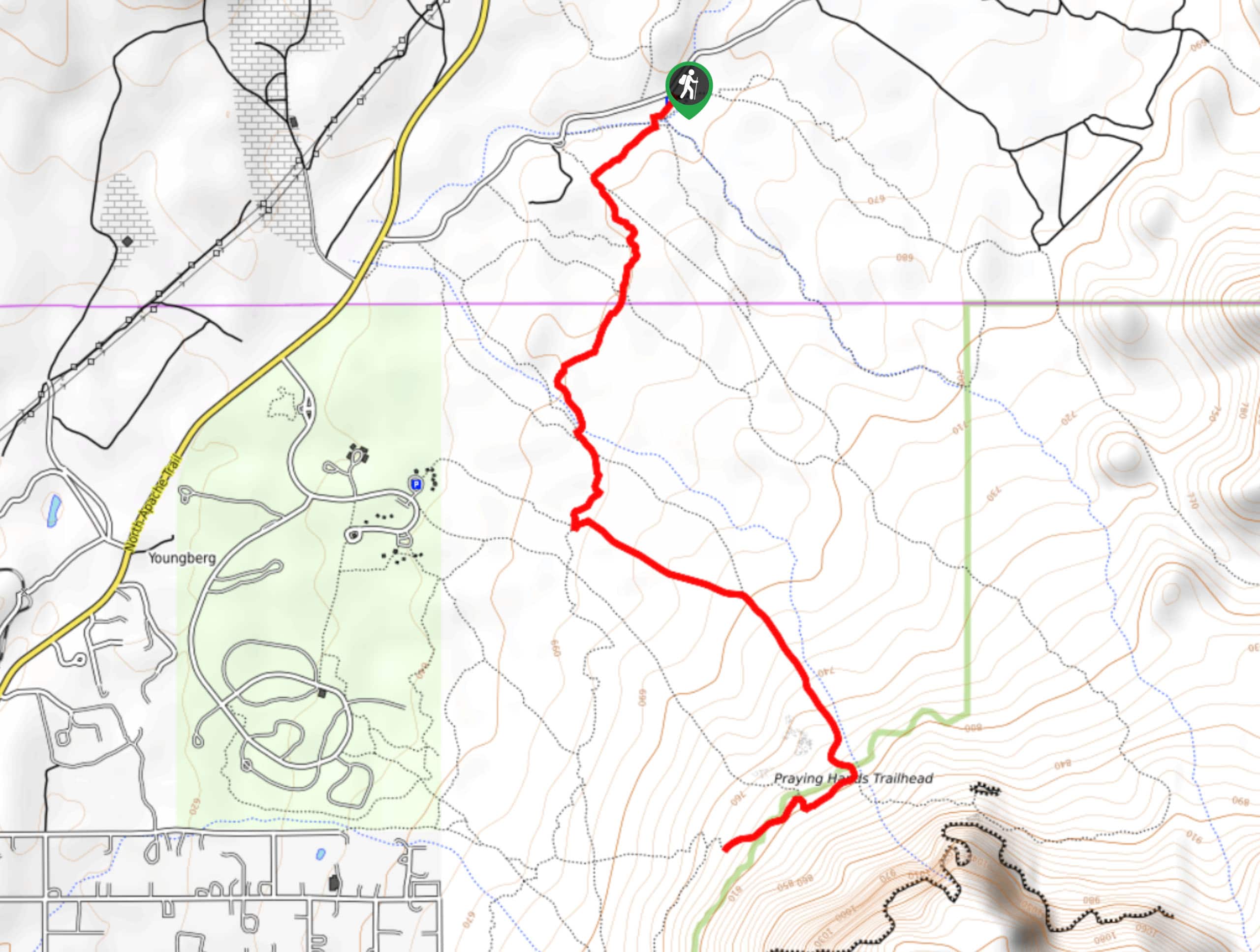
Jacob’s Crosscut Trail
Jacob’s Crosscut Trail is an important route in the network of trails in Lost Dutchman State Park. This route is…
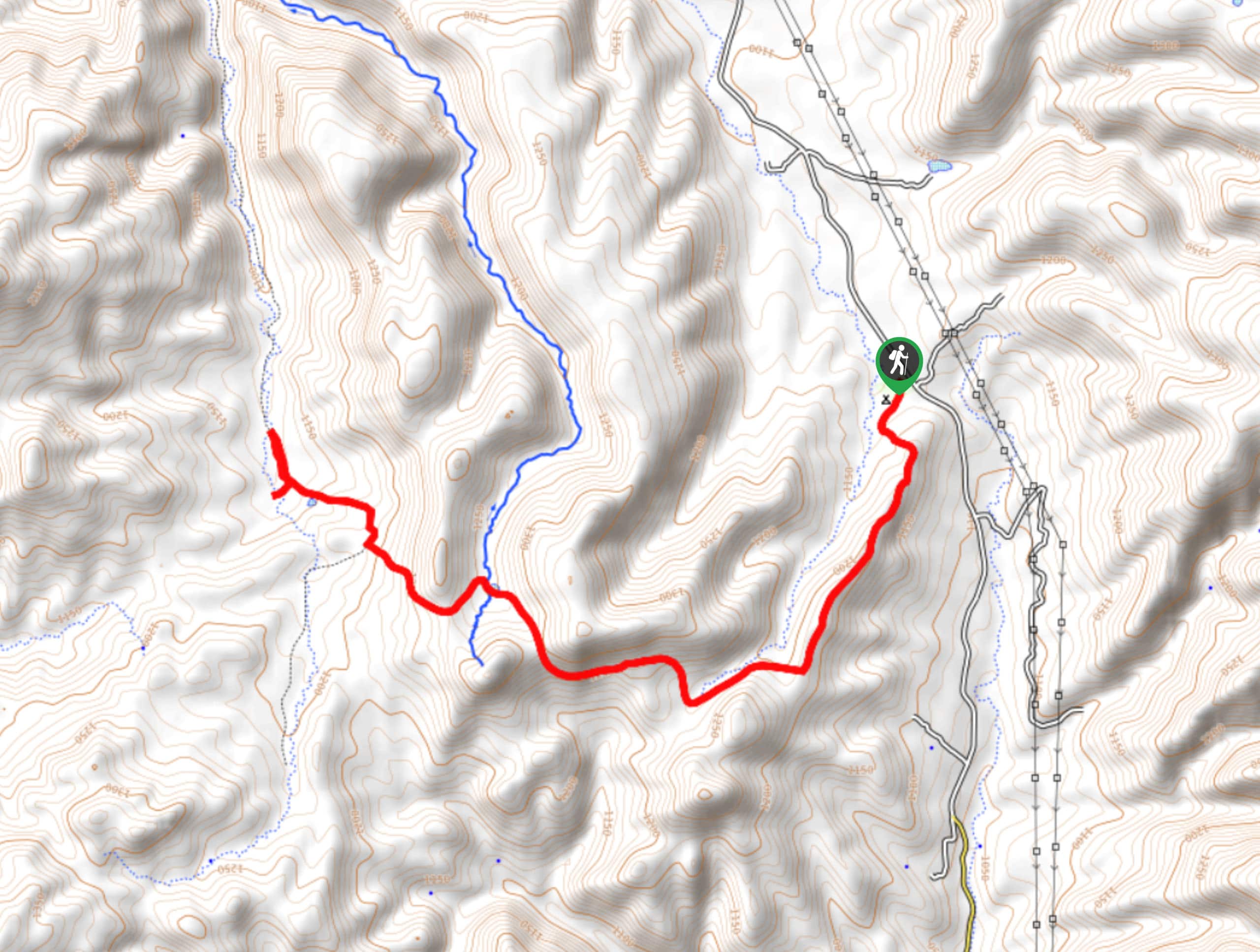
Bronco Trail
The Bronco Trail is a 7.9mi out and back route used for hiking and horseback riding. This trail…
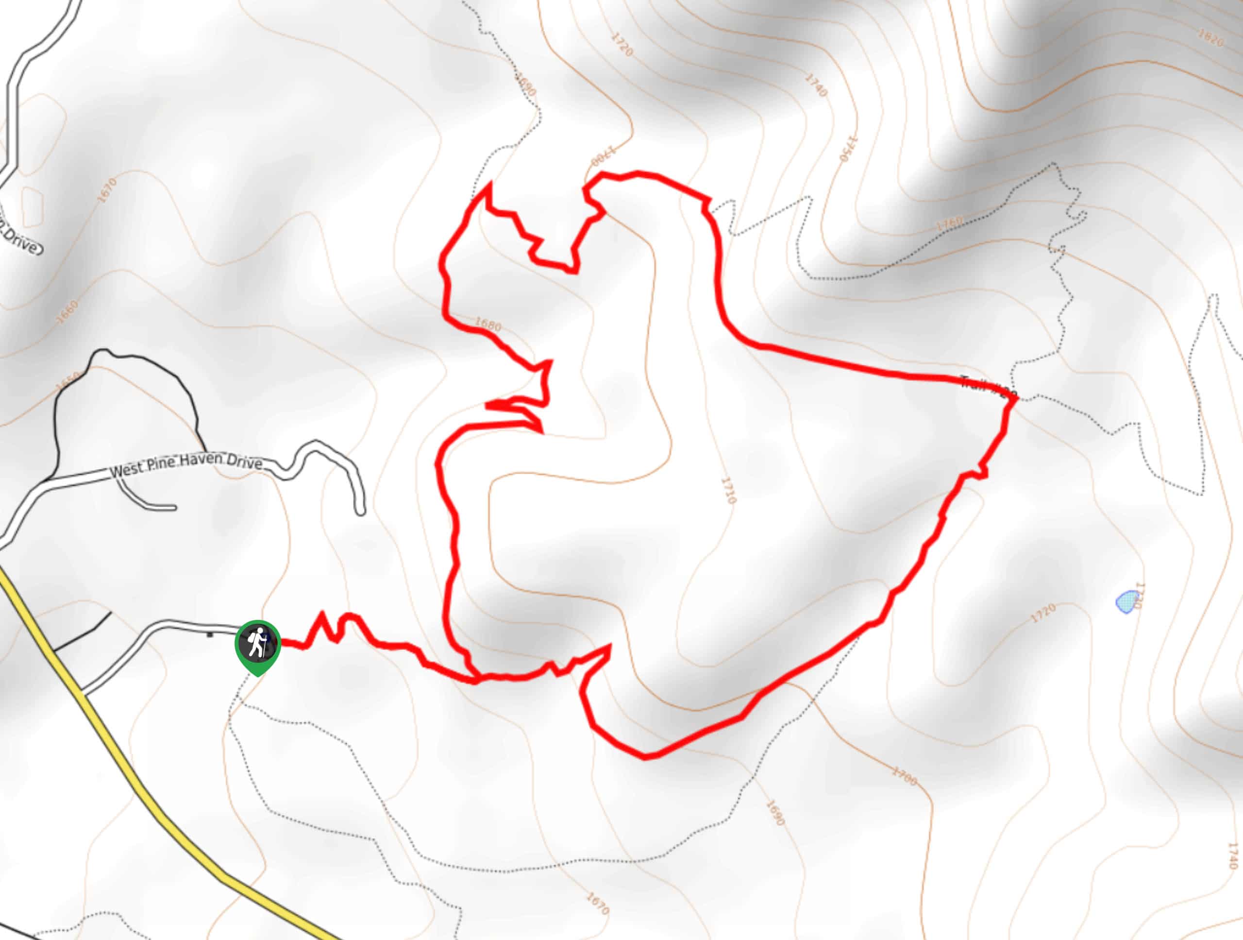
Pine Canyon Trail Loop
The Pine Canyon Trail Loop in Pine, Arizona is a quick 2.7mi loop that is rated as easy.…


Comments