

Wave Cave Trail
View PhotosWave Cave Trail
Difficulty Rating:
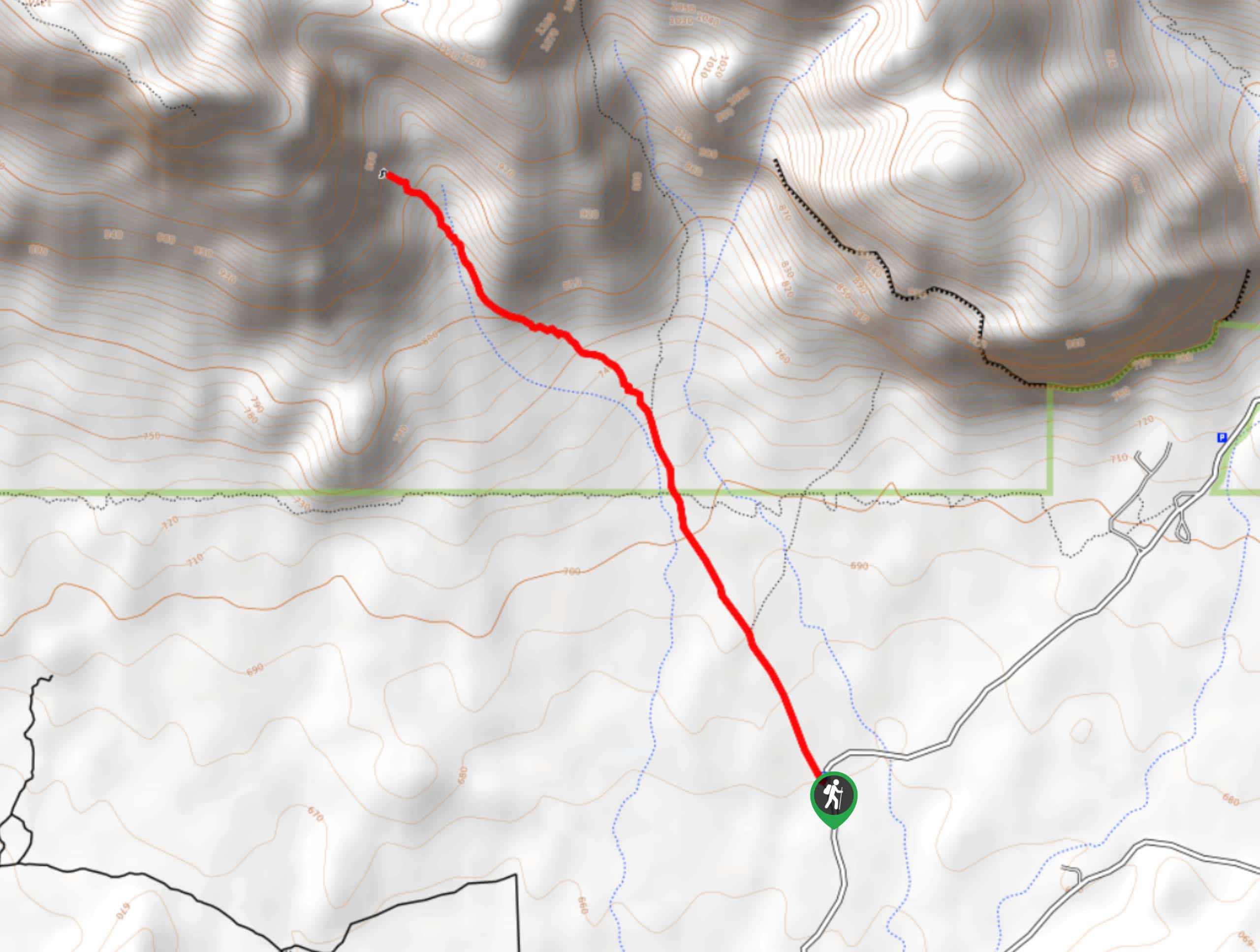
You probably didn’t think you could surf in Arizona, did you? The Wave Cave is a unique cave where a “wave” of rock protrudes out into the cave opening. It’s one of the many fascinating rock formations and caves that make Arizona’s landscape so fun to explore. The hike to the cave is moderate, with a few short, steep sections. Most hikers will be able to complete this trail.
If you want the perfect photo op in the cave, try hiking early in the morning before the route gets busy. You’ll also want to bring plenty of water and prepare for the heat of the desert, perhaps avoiding hiking from June through September altogether if you’re not used to the temperatures in this part of the world.
Getting there
The trailhead for the Wave Cave Trail is on E Peralta Road.
About
| Backcountry Campground | No |
| When to do | September-April |
| Pets allowed | Yes - On Leash |
| Family friendly | Yes |
| Route Signage | Poor |
| Crowd Levels | Extreme |
| Route Type | Out and back |
Wave Cave Trail
Elevation Graph
Weather
Wave Cave Trail Description
The Wave Cave is one of many must-see rock formations in Arizona, hiding in the Superstition Mountains east of Phoenix. This cave has a rock “wave” that extends into the middle, serving as an ideal photo spot. Your view from the cave extends out over the mountainous landscape beyond, and the hike there will have you feeling positively remote.
This trail isn’t signed, so you’ll want to make sure you have a GPS track to follow. The last thing you want is to get turned around in the hot desert. Speaking of desert, this route is exposed to the sun and there isn’t any water on it. Avoid planning your hike in the summer months and bring plenty of water no matter what time of year you visit. A hat and sunscreen are also recommended for sunny days- which tends to be most of them!
The parking lot on Peralta is a bit sneaky, so make sure you’re watching for it. From the parking lot, look for the cave on your left. You’ll be able to see it during the hike, which can help you find your way despite the lack of signage.
Take the wide path that heads towards the base of the mountain. About 0.6 miles in, you’ll hit a fence. There is some signage here, but you need to ignore it. Go straight past the fence through the gap to get to the cave.
You’ll start climbing more consistently past the fence with tall saguaros lining your route. There are spur trails that look very convincing, but keep an eye on your GPS track and don’t be swayed. Watch for rocks across the entrance to trails and keep generally left.
You’ll climb more steeply the closer you get to the cave. About a mile in, you’ll be able to stop guessing which way to go as the route becomes nicely defined.
The last few steps of the hike are the steepest. Take your time if needed. You’ll climb up into the cave, which is surprisingly deep. Roam around into the cave, walking to the back to look forward at the wave. Snap photos, climb around, explore, and then get ready to head back to the trailhead.
You’ll retrace your steps to the trailhead.
Hiking Route Highlights
Wave Cave
The Wave Cave is a deep cave in the Superstition Mountains notable for its “wave,” the rock lip in the middle of the cave that resembles a crashing wave. The cave is particularly deep, allowing visitors to snap photos atop the wave with ease, making it a fan favorite.
Frequently Asked Questions
Where do you park for the Wave Cave?
You’ll park at the Carney Springs Trailhead.
Do I need a permit to hike the Wave Cave?
Yes, you’ll need a Tonto Discovery Pass for this hike.
Is the hike to the Wave Cave hard?
The hike is quite easy until the last 0.2mi, when it steepens. Overall we rate this hike as moderate.
Insider Hints
The trailhead for this hike can fill up on weekends, so come early to get a parking spot.
Hikers in the cave are normally very friendly if you need someone to give you a hand with photos.
Similar hikes to the Wave Cave Trail hike
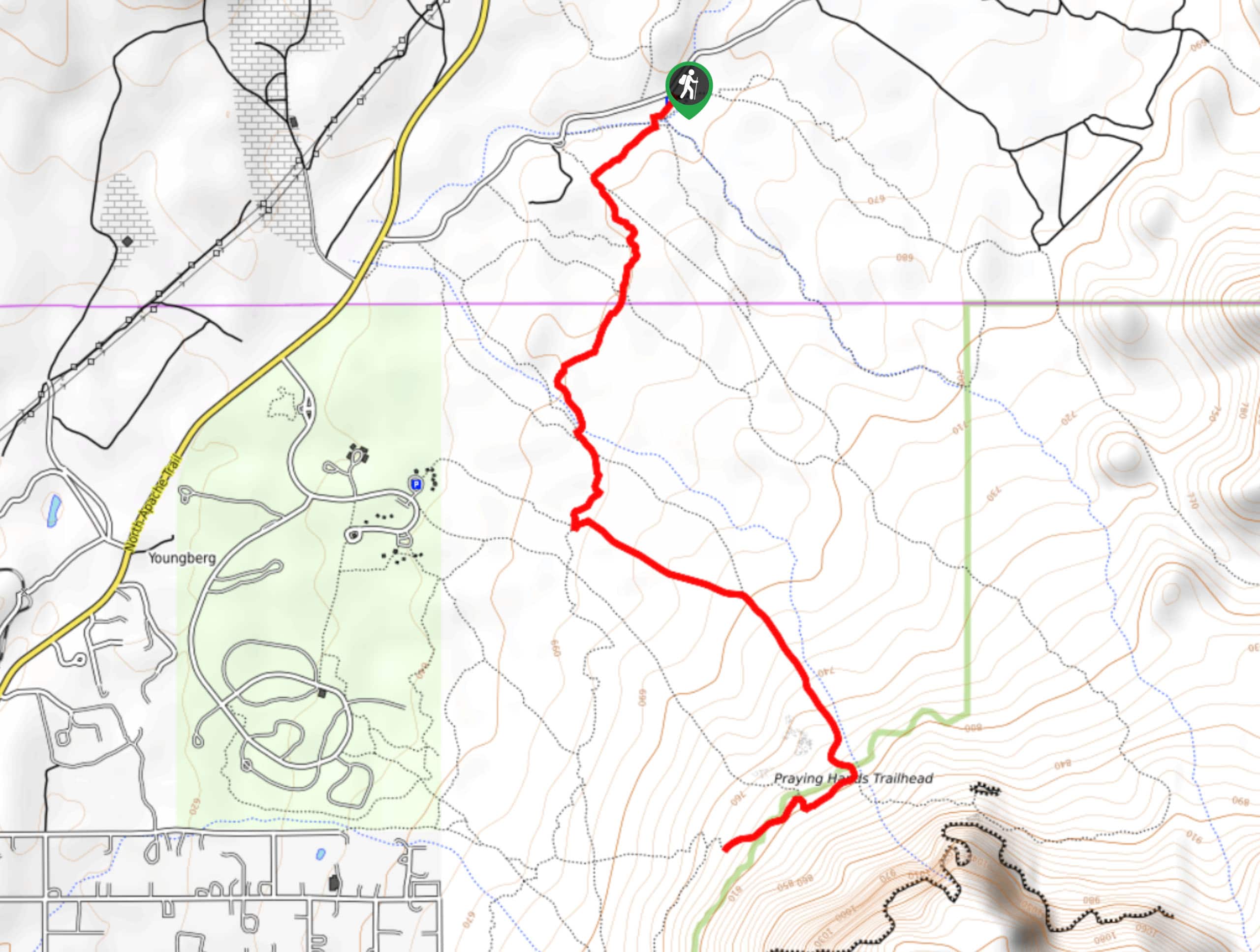
Jacob’s Crosscut Trail
Jacob’s Crosscut Trail is an important route in the network of trails in Lost Dutchman State Park. This route is…
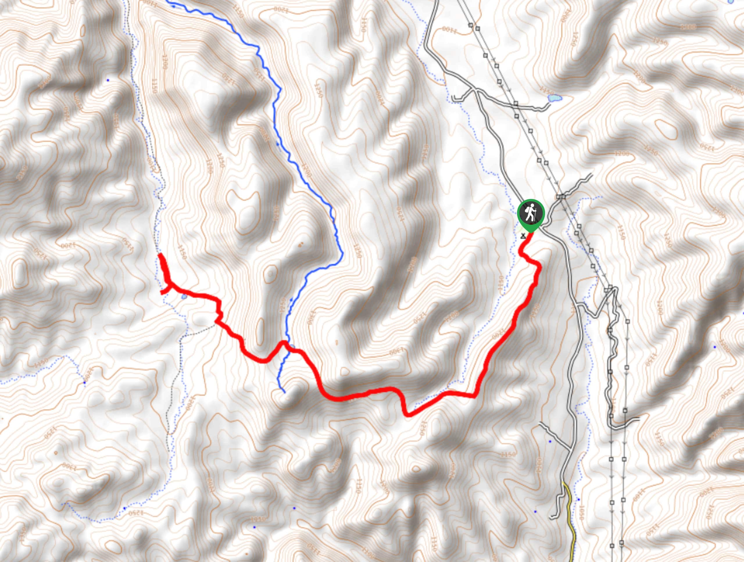
Bronco Trail
The Bronco Trail is a 7.9mi out and back route used for hiking and horseback riding. This trail…
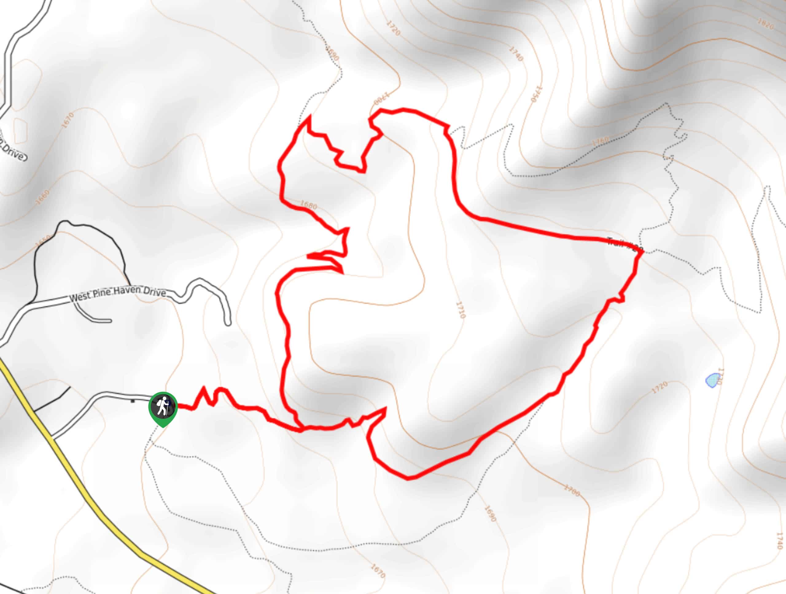
Pine Canyon Trail Loop
The Pine Canyon Trail Loop in Pine, Arizona is a quick 2.7mi loop that is rated as easy.…


Comments