

Devil’s Punchbowl Waterfall Trail
View PhotosDevil’s Punchbowl Waterfall Trail
Difficulty Rating:
The Devil’s Punchbowl Waterfall Trail is a short, albeit extremely rugged, adventure near Crystal, Colorado that will take you along a rocky ATV road to reach a series of waterfalls. While out on the trail, you will carefully navigate a rugged mountain road and keep an eye out for passing vehicles, before arriving at the scenic location of the cascading Devil’s Punchbowl Waterfall. Although this route is pretty short and the elevation gain is fairly low, this route is still not suitable for children, due to the rugged nature of the ground underneath.
Getting there
The trailhead for the Devil’s Punchbowl Waterfall Trail can be found at the Schofield Park parking area on FS-317.
About
| Backcountry Campground | No |
| When to do | July-September |
| Pets allowed | Yes - On Leash |
| Family friendly | Older Children only |
| Route Signage | Average |
| Crowd Levels | Moderate |
| Route Type | Out and back |
Devil’s Punchbowl Waterfall Trail
Elevation Graph
Weather
Devil’s Punchbowl Waterfall Trail Description
While the Devil’s Punchbowl Waterfall Trail isn’t overly difficult, it does utilize a rugged mountain pass road with one decent descent towards the end. Be sure to wear proper hiking boots to better traverse the rugged road and remember to keep an eye out for passing vehicles. Additionally, parking at the trailhead can be fairly limited, so try to time your hike during off-peak hours.
Although the entirety of this route follows along a road, the beautiful mountain scenery surrounding you will be enough to keep you entertained and engaged throughout this short adventure. In addition to the stunning views of the Devil’s Punchbowl, you will also pass by the aptly named Not Devil’s Punchbowl, which offers some more scenic views along the trail. This is a fantastic route if you are looking for a quick adventure with breathtaking waterfall views.
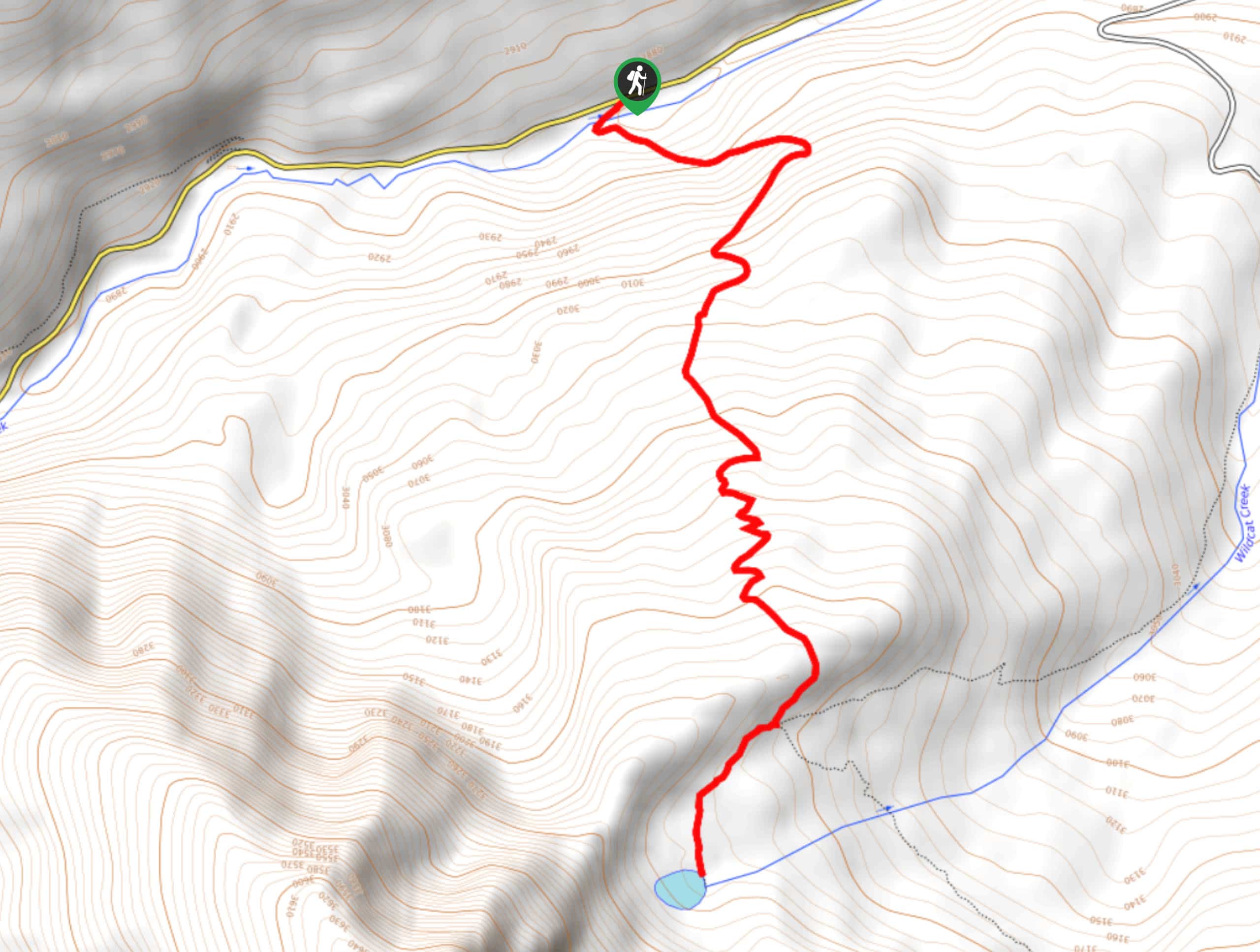
Setting out from the roadside parking area on FS-317, you will follow the road to the northwest for 0.19mi, where you will come to a crossing over the South Fork Crystal river. Here, you will have a wonderful view looking out over Not Devil’s Punchbowl, a cascading waterfall set along the river.
After crossing over the river, you will continue to the northwest along Schofield Pass Road as it winds through the mountainous countryside and follows closely alongside the banks of the river. Take some time here to enjoy the views of the surrounding forests and peaks, as you hike for 0.9mi to arrive at Devil’s Punchbowl.
There is a bit of a descent along the final portion of the rugged road in order to reach the viewpoint for the stunning falls, but once there you will be able to take in the majesty of the cascading water. After spending some time in the area, make your way back uphill along the road to the southeast and head back to the trailhead where you began the Devil’s Punchbowl Waterfall Trail.
Trail Highlights
Devil’s Punchbowl
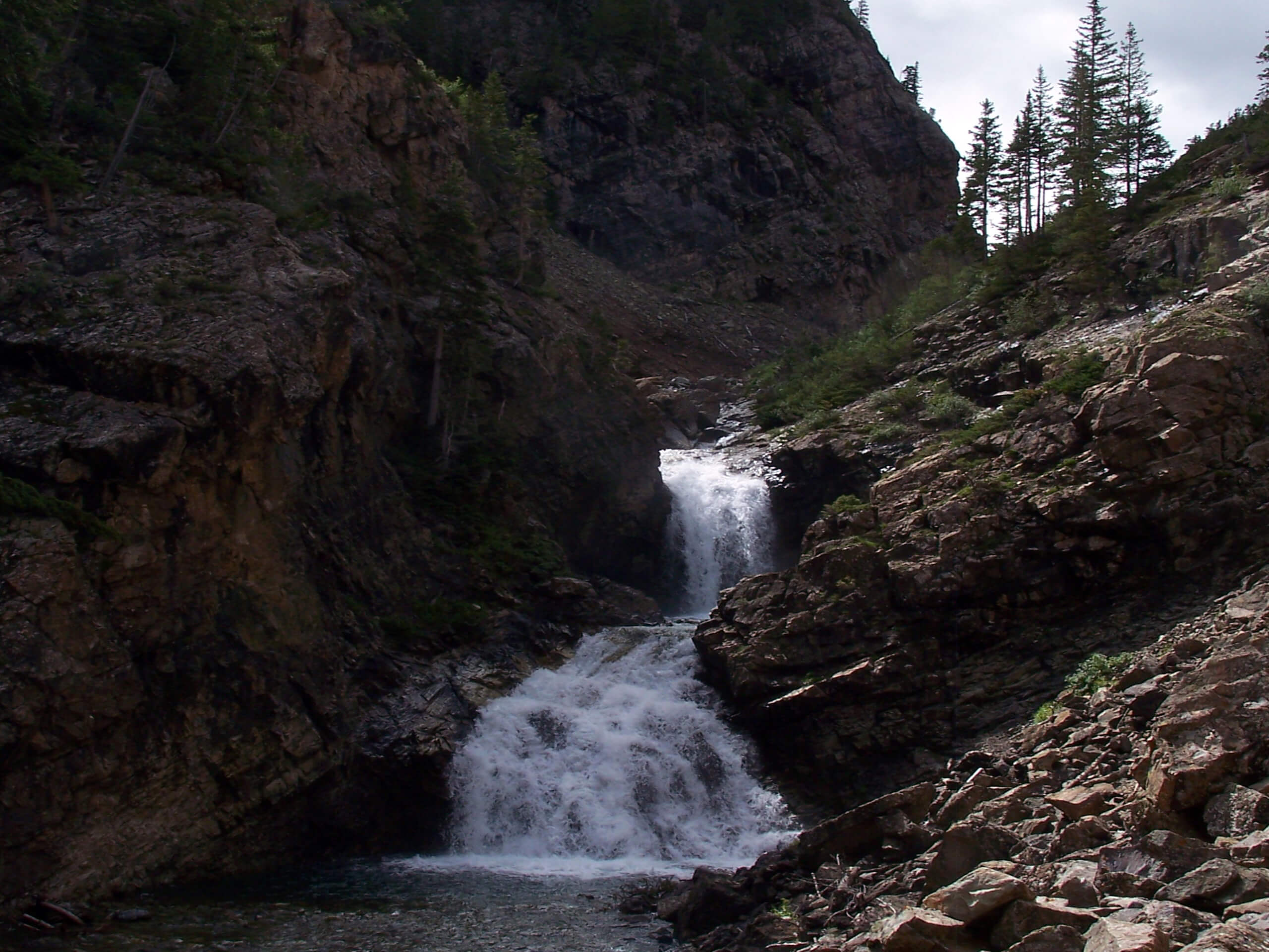
Located outside of Crystal, Colorado along the South Fork Crystal River, Devil’s Punchbowl is a gushing waterfall that crashes down a rockwall into an emerald pool below. Also located nearby to the southeast is the Not Devil’s Punchbowl, a similar feature also located on the South Fork Crystal River.
Insider Hints
Wear proper hiking boots to better traverse the rugged mountain road.
Keep an eye out for passing vehicles.
Time this hike for the morning, as the pass can get quite chilly later in the day after the sun passes behind the mountains.
Similar hikes to the Devil’s Punchbowl Waterfall Trail hike

Prospector Trail
The Prospector Trail is a fun hiking adventure near Crested Butte, Colorado that will take you uphill for beautiful views…

Lily Lake Trail #639
The Lily Lake Trail #639 is an easy-going hiking route in the Elk Mountains of Colorado that will lead you…

Green Lake via Carbon Trail
The Green Lake via Carbon Trail is an amazing experience in Crested Butte, Colorado that will take you to a…


Comments