

Beinn Udlamain Munro and Sgairneach Mhòr Walk
View PhotosBeinn Udlamain Munro and Sgairneach Mhòr Walk
Difficulty Rating:
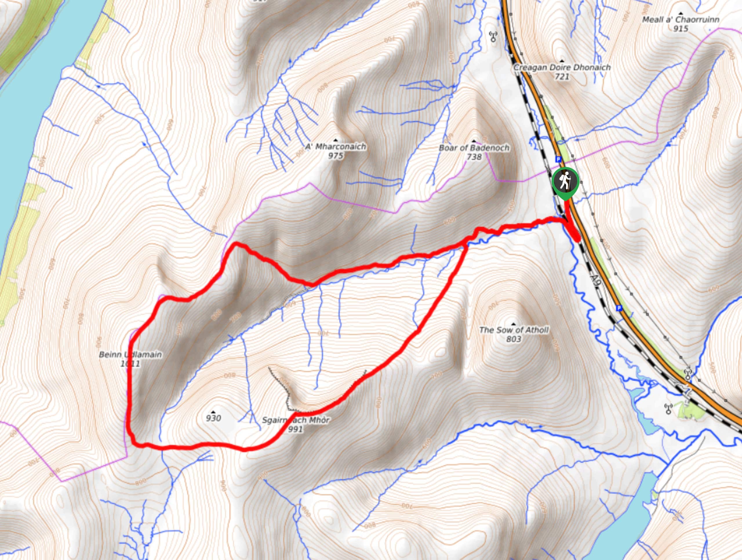
The Beinn Udlamain Munro and Sgairneach Mhòr Walk is a rugged and exciting journey in Cairngorms National Park that will see you climb up into the mountains south of Dalwhinnie for stunning views. While out walking the trail, you will work your way uphill alongside Allt Coire Dhomhaine to reach the summits of Sgairneach Mhòr and Beinn Udlamain, where you will enjoy spectacular views of Loch Ericht. This walk is definitely a leg burner, so be sure to take your time, wear sturdy walking boots, and bring plenty of water.
Getting there
The trailhead for the Beinn Udlamain Munro and Sgairneach Mhòr Walk can be found 6mi south of Dalwhinnie at a roadside parking area.
About
| Backcountry Campground | No |
| When to do | March-October |
| Pets allowed | Yes - On Leash |
| Family friendly | No |
| Route Signage | Average |
| Crowd Levels | Moderate |
| Route Type | Lollipop |
Beinn Udlamain Munro and Sgairneach Mhòr Walk
Elevation Graph
Weather
Beinn Udlamain Munro and Sgairneach Mhòr Walk Description
Featuring some stunning views of the surrounding mountains and lochs below, the Beinn Udlamain Munro and Sgairneach Mhòr Walk is an excellent adventure if you are looking for an easily accessible route in Cairngorms National Park that still features some rugged terrain.
Setting out from the car park, you will head to the southwest alongside the banks of Allt Coire Dhomhaine as it passes between the Boar of Badenoch and Sow of Atholl hills. At the fork in the path, you will head to the left and cross over the stream, where the route will begin to steepen as you climb uphill to the summit viewpoints.
Here, you will traverse the rugged terrain at the summit of Sgairneach Mhòr, before continuing on to the northwest to reach Beinn Udlamain and its beautifully scenic views over Loch Ericht and the surrounding mountains. After taking in the views, you will make your way downhill to the east, once again following along the stream as it will lead you back to the car park where you began your adventure.
Similar hikes to the Beinn Udlamain Munro and Sgairneach Mhòr Walk hike

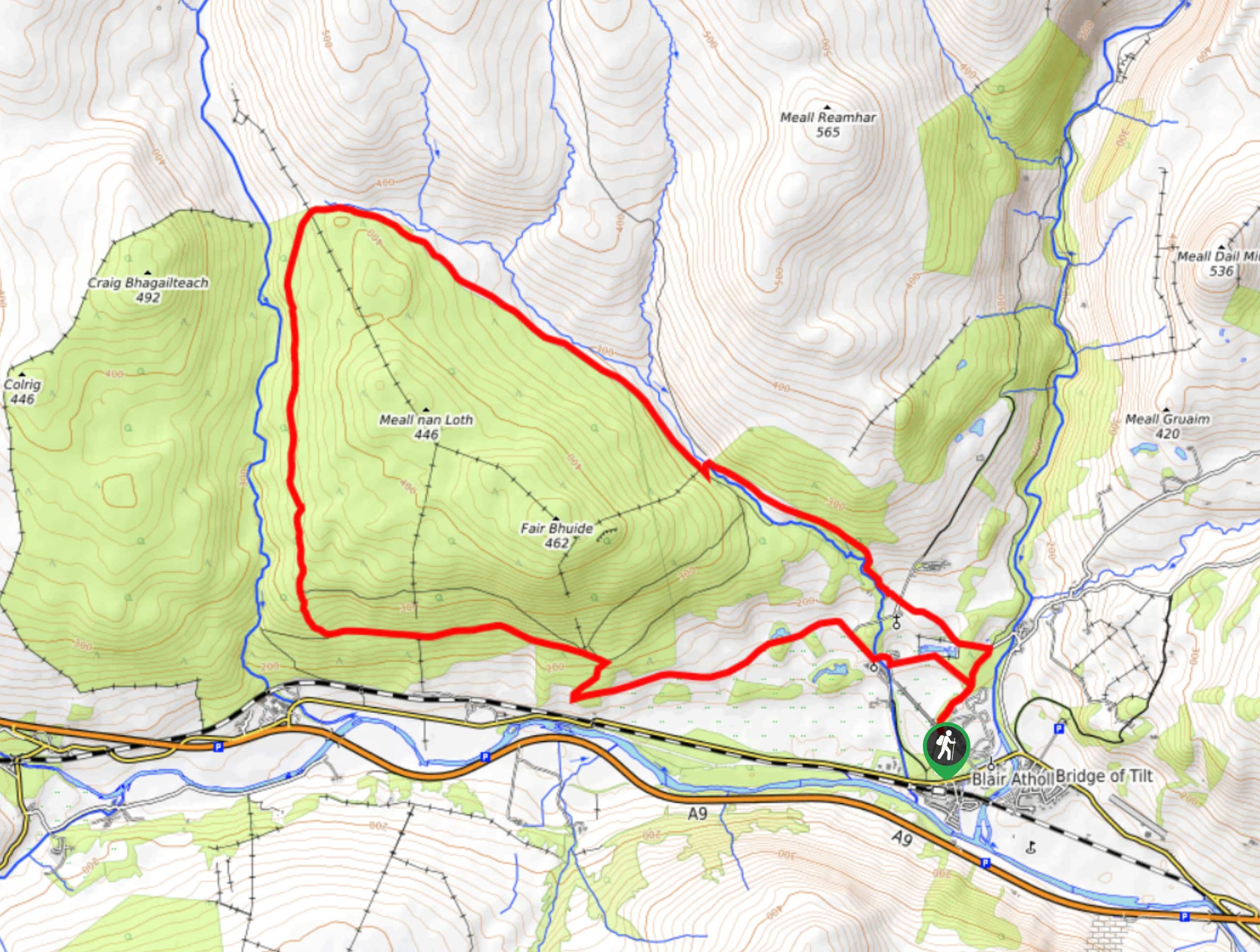
Glen Banvie Trail and Blair Castle Walk
The Glen Banvie Trail and Blair Castle Walk is a great adventure in Cairngorms National Park that takes in the…

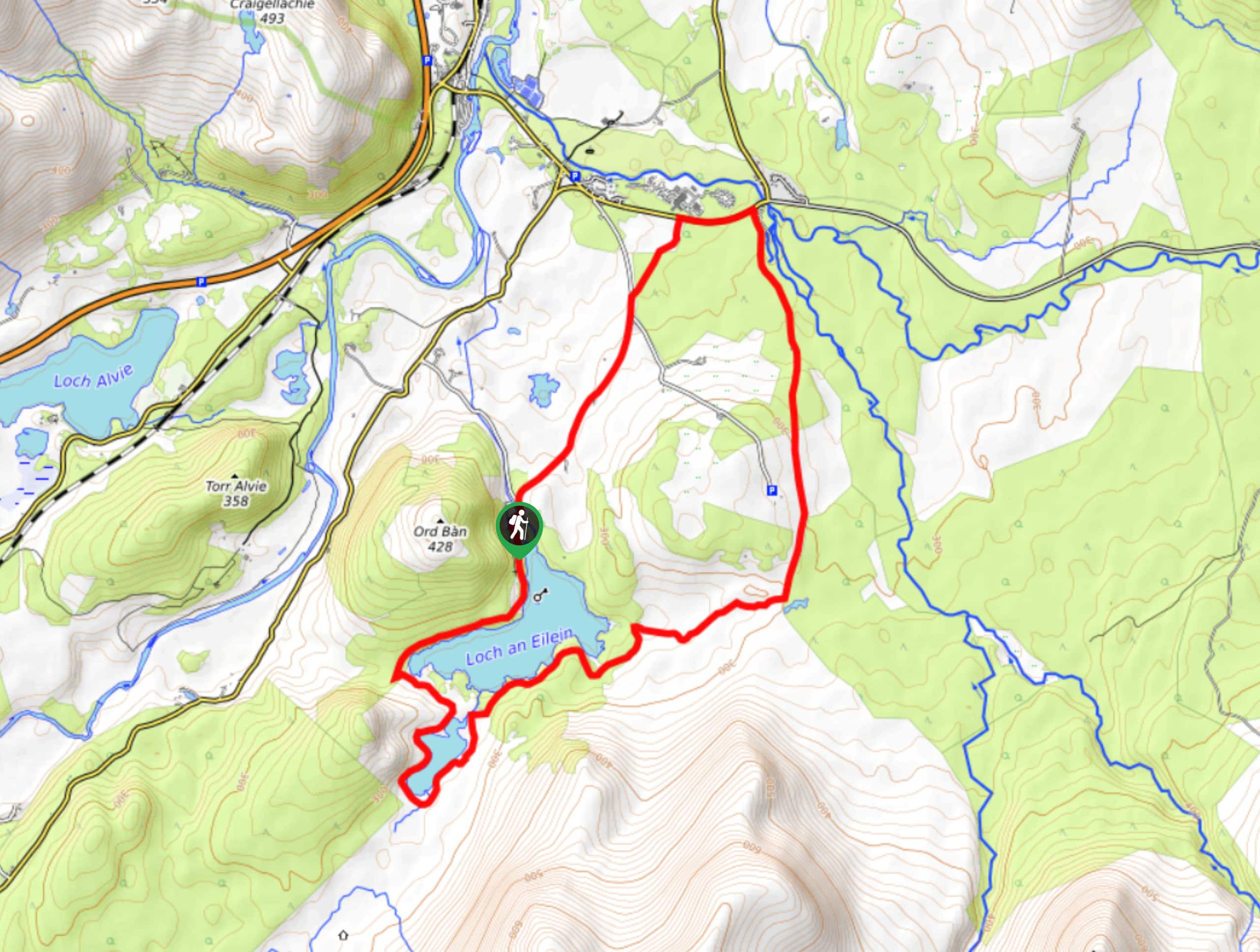
Loch an Eilein, Loch Gamhna, Old Logging Way Loop
The Loch an Eilein, Loch Gamhna, Old Logging Way Loop is a wonderful walking trail in Cairngorms National Park that…

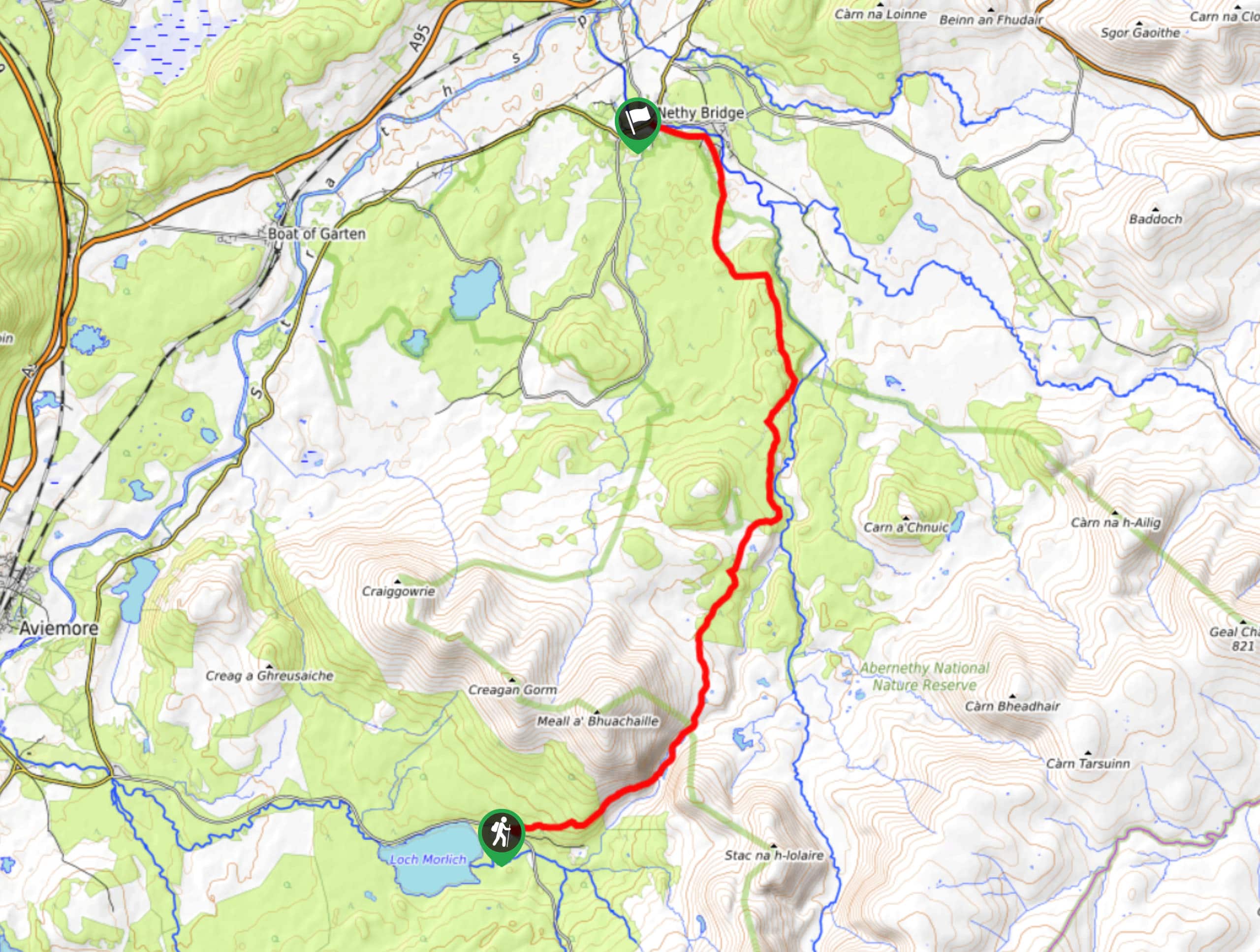
Loch Morlich to Nethy Bridge Walk
The Loch Morlich to Nethy Bridge Walk is a fun one-way trail in Cairngorms National Park that will lead you…


Comments