

Raft Peak Trail
View PhotosRaft Peak Trail
Difficulty Rating:
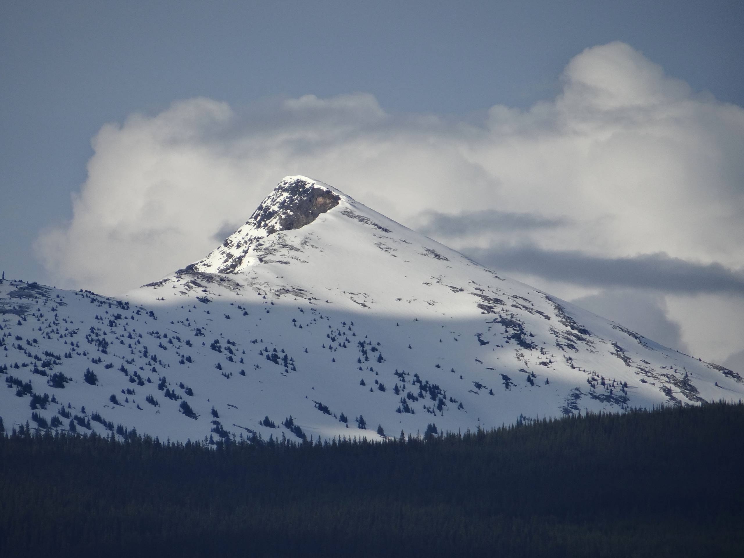
The Raft Peak Trail is a 4.0mi out-and-back hiking route northeast of Clearwater, BC, that will take you up a steep ridgeline for some amazing views over the surrounding mountains and the North Thompson Valley. Along the trail, you will hike through a nice stretch of meadow and light forest cover before making the steep climb up the rocky, technical ridge. Although this is a challenging hike, your efforts will be rewarded with breathtaking views of the green valley below and Wells Gray Provincial Park to the north.
Getting there
To reach the trailhead for the Raft Peak Trail from Clearwater, head east on BC-5 for 1.0mi and turn left onto Candle Creek Road. After 2.2mi, turn right onto May Road and follow it for 3.6mi before making a sharp left. Continue on for 1.8mi and turn right, following the road for 5.0mi. Make a slight left here and you will find the trailhead in 0.7mi
About
| When to do | May-October |
| Backcountry Campsites | No |
| Pets allowed | Yes - On Leash |
| Family friendly | No |
| Route Signage | Average |
| Crowd Levels | Low |
| Route Type | Out and back |
Raft Peak Trail
Elevation Graph
Weather
Raft Peak Trail Description
While the Raft Peak Trail is a tough uphill climb without so much as any relief in the form of switchbacks, its relatively short distance and breathtaking views of the surrounding landscape are enough to mitigate the physically demanding challenge. The route sets out from the trailhead and follows a path to the north that initially works through a beautiful stretch of meadow and light forest, before transitioning to a very steep uphill climb. Along this rocky portion of the hike, you will make your way almost straight up the ridgeline for some breathtaking views in every direction. Once there, head to the east and traverse the ridge towards the summit, which is marked by a small rock cairn. Be careful along this portion of the hike, as there are very steep drop offs that could lead to injury. After arriving at the summit, take in the amazing views across the North Thompson Valley and north ionto Wells Gray Provincial Park. After enjoying your time on the summit, carefully head back along the same route to return to the trailhead below.
Similar hikes to the Raft Peak Trail hike

Community Trail
The Community Trail is a 8.3mi point-to-point hiking route just north of Kamloops, BC, that will allow you…

Lac du Bois Tower Loop
The Lac du Bois Tower Loop is a 4.0mi hiking circuit northwest of Kamloops that will allow you…

Embleton Mountain Loop
The Embleton Mountain Loop is an 5.2mi lollipop hiking route northeast of Kamloops that climbs uphill through a…


Comments