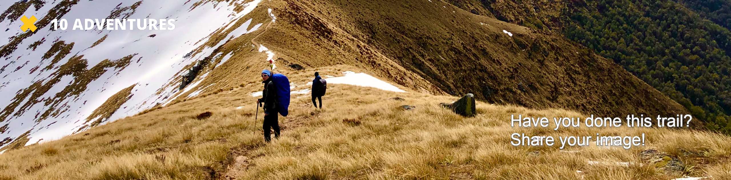
Cinnamon Ridge Trail
View Photos
Cinnamon Ridge Trail
Difficulty Rating:
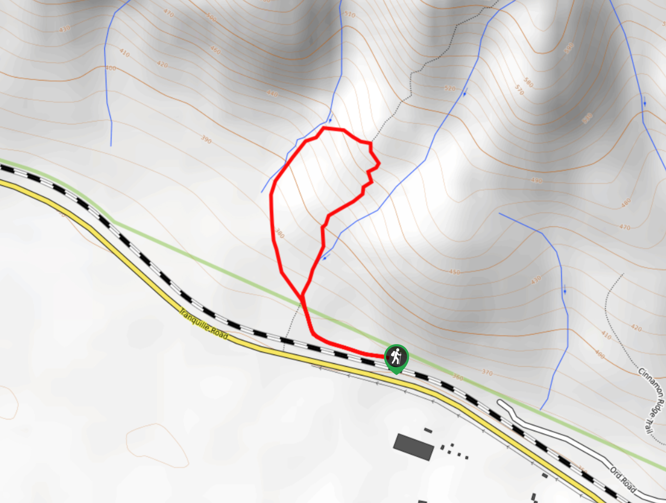
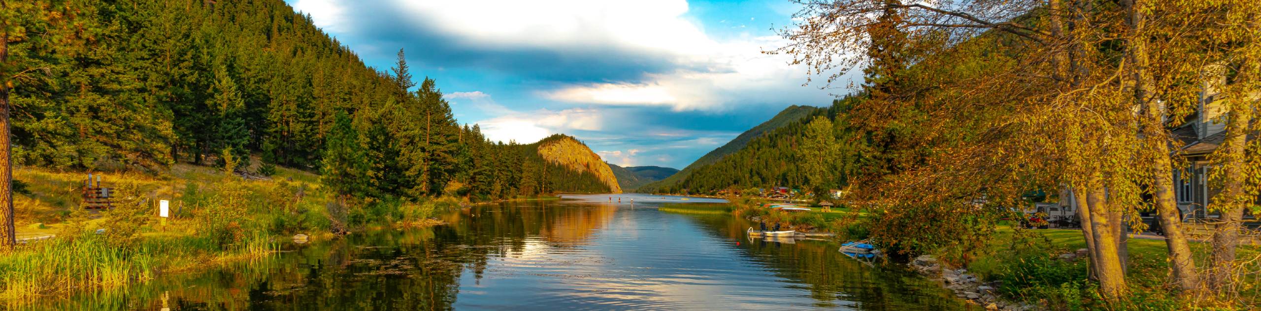
The Cinnamon Ridge Trail is a 1.1mi lollipop hiking route in Kamloops that will take you uphill for some scenic views of nearby hoodoo rock formations and the valley below. While the route is short, it is also fairly steep in some parts and will require you to watch your footing. If you are looking for a longer and more difficult version of this hike, continue up along Cinnamon Ridge for some even more amazing views of the hoodoo rock formations that are set further back from the trailhead.
Getting there
To reach the parking area for the Cinnamon Ridge Trail from Kamloops, head southwest on Ord Road for 3.0mi and turn left to stay on the road for another 591ft. Turn right onto Tranquille Road and follow it for 1.4mi before turning right on Ord Road. In 2461ft, you will arrive at the parking area.

About
| When to do | April-September |
| Backcountry Campsites | No |
| Pets allowed | Yes |
| Family friendly | Older Children only |
| Route Signage | Poor |
| Crowd Levels | Low |
| Route Type | Lollipop |
Cinnamon Ridge Trail
Elevation Graph
Weather
Cinnamon Ridge Trail Description
Hiking the Cinnamon Ridge Trail is a fun experience in the Kamloops area that will take you off the beaten path to view some amazing views that stretch across the valley. This route goes off trail for a stretch, so make sure that you bring a GPS and have proper hiking footwear to better traverse the steep and rocky terrain. Setting out from the parking area, follow the route to the west across the exposed terrain and keep left to begin the uphill climb along the loop portion of the trail. Reaching the top of the trail, you will have some views of nearby hoodoos and if you look back you will get a great sightline across the valley and the breathtaking Thompson River. Carefully make your way down the return portion of the loop to the trailhead below.
Similar hikes to the Cinnamon Ridge Trail hike
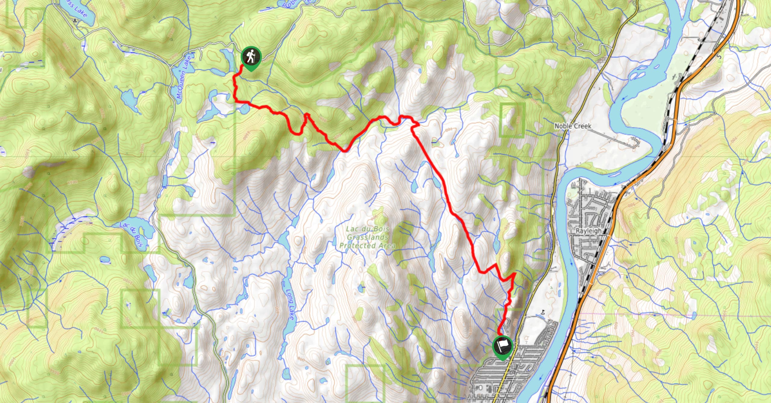
Community Trail
The Community Trail is a 8.3mi point-to-point hiking route just north of Kamloops, BC, that will allow you…
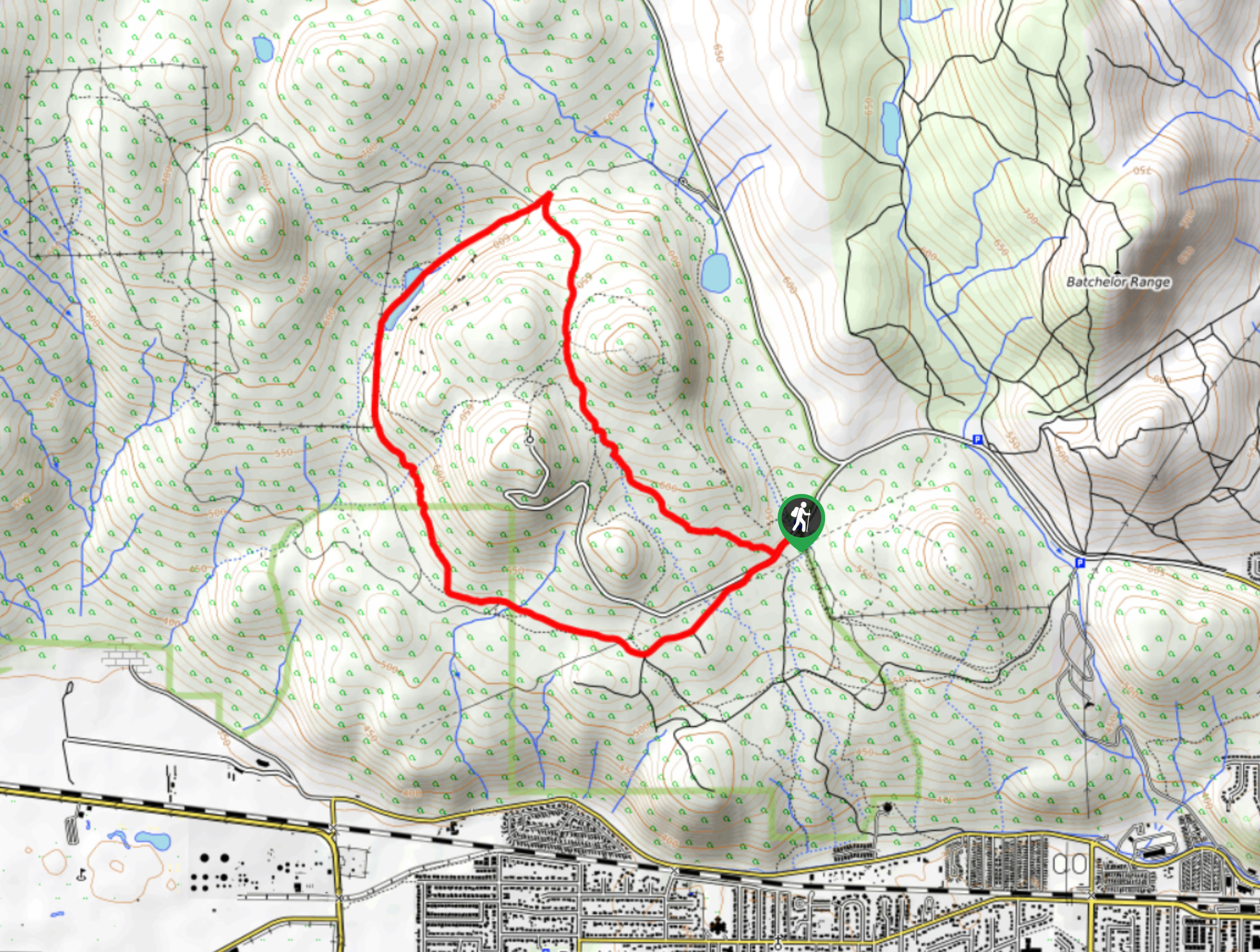
Lac du Bois Tower Loop
The Lac du Bois Tower Loop is a 4.0mi hiking circuit northwest of Kamloops that will allow you…
Gibraltar Rock
The trek to Gibraltar Rock follows a 2.0mi out-and-back trail that sets out from the Paul Lake Beach…
Comments