Dewdrop Range Trail
View Photos
Dewdrop Range Trail
Difficulty Rating:
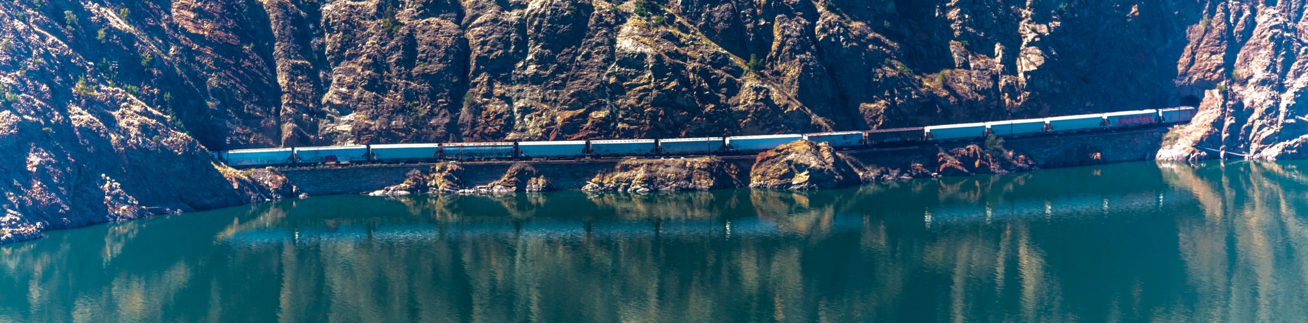
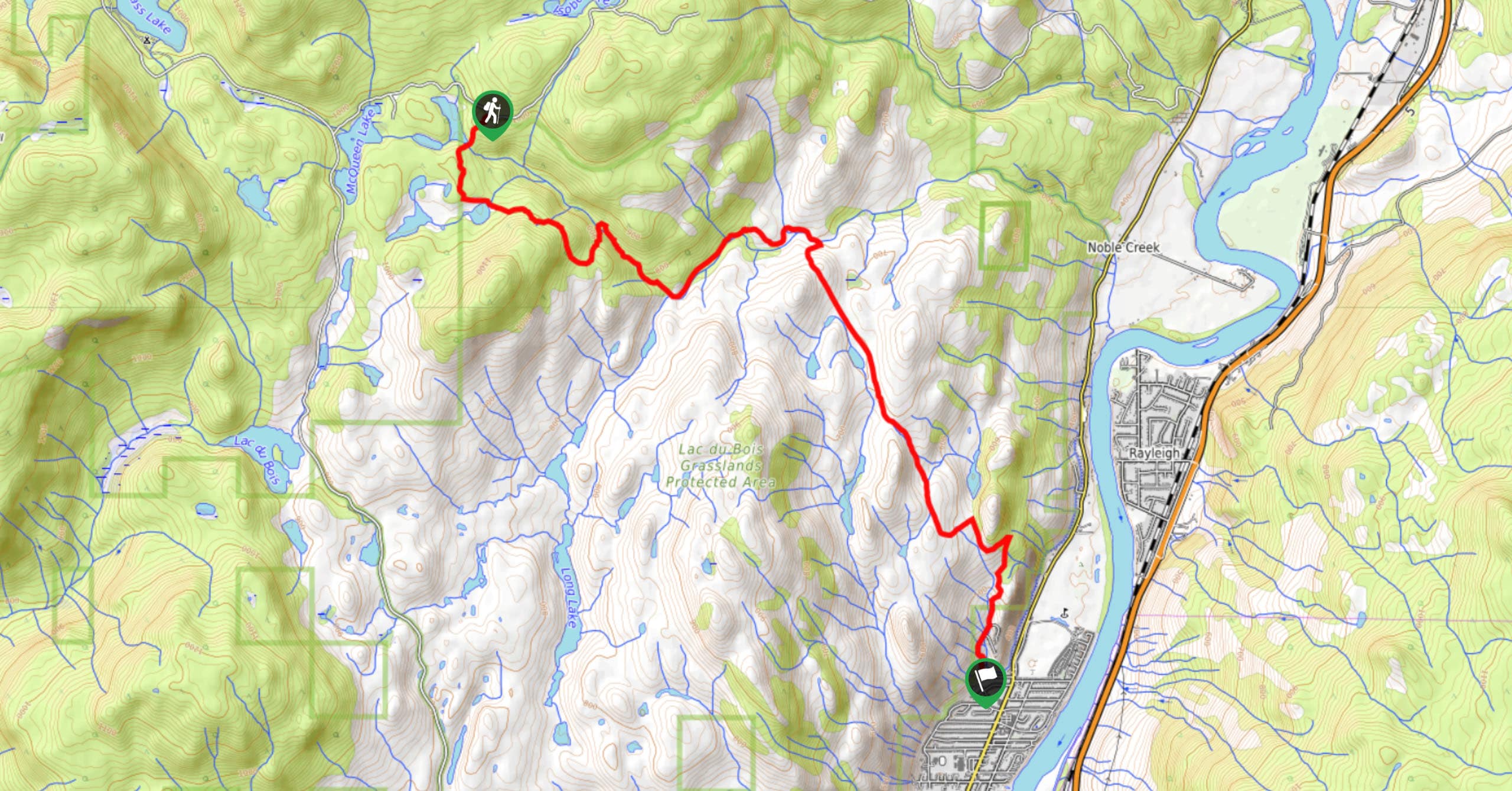
The Dewdrop Range Trail is a 9.2mi out-and-back hiking route near Kamloops that climbs uphill into Lac du Bois Grasslands Provincial Park for some amazing views overlooking the Thompson Valley. This route features a large elevation gain and is fairly steep in certain areas, so make sure to wear proper hiking footwear and bring extra gear such as microspikes if you are looking to complete this hike in the shoulder seasons. Additionally, hikers should bring bear spray, as cougars and bears are sometimes spotted in the area.
Getting there
To access the trailhead for the Dewdrop Range Trail from Kamloops, make your way west along Ord Road for 3.0mi and turn left to continue along it for another 591ft. Make a right on Tranquille Road and follow it for 3.4mi before turning right onto Red Lake Road. Continue on for 3.0mi to find the trailhead on the right.

About
| When to do | April-November |
| Backcountry Campsites | No |
| Pets allowed | Yes - On Leash |
| Family friendly | No |
| Route Signage | Average |
| Crowd Levels | Low |
| Route Type | Out and back |
Dewdrop Range Trail
Elevation Graph
Weather
Dewdrop Range Trail Description
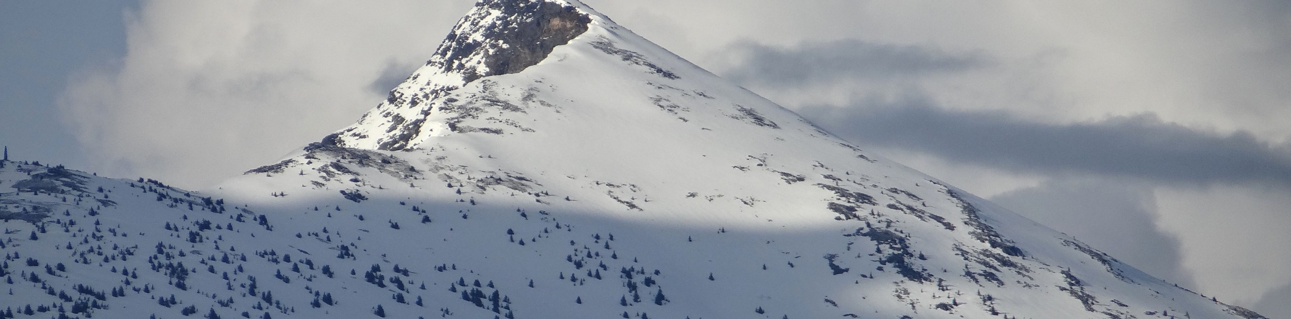
Hiking the Dewdrop Range Trail is a fun but challenging experience in the Kamloops area that will test your resolve and reward you with some breathtaking views across the Thompson Valley. Setting out from the trailhead, the route climbs sharply uphill along a creek before working along a series of switchbacks up a ridge. From there, hikers will traverse the ridgeline and have an amazing sightline that sweeps across the valley with the blue expanse of Kamloops Lake directly below. After reaching the end of the trail at the forest, turn back and carefully make your descent along the ridge to return to the parking area below.
Similar hikes to the Dewdrop Range Trail hike
Community Trail
The Community Trail is a 8.3mi point-to-point hiking route just north of Kamloops, BC, that will allow you…
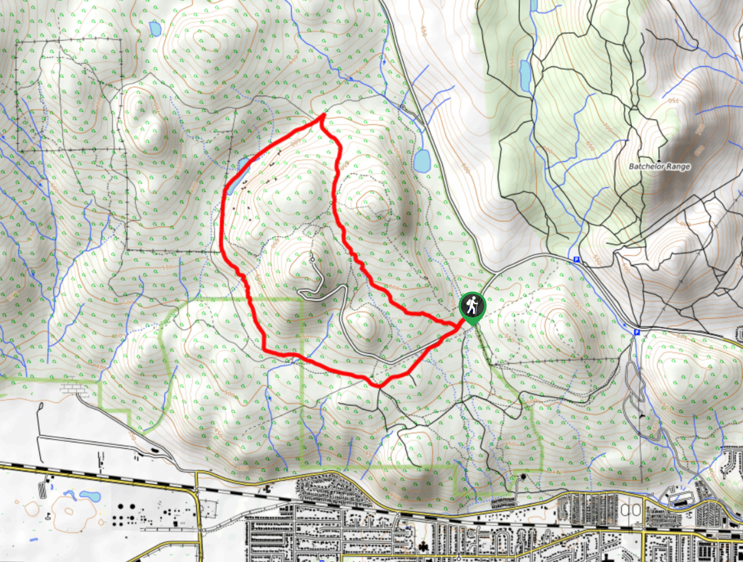
Lac du Bois Tower Loop
The Lac du Bois Tower Loop is a 4.0mi hiking circuit northwest of Kamloops that will allow you…
Raft Peak Trail
The Raft Peak Trail is a 4.0mi out-and-back hiking route northeast of Clearwater, BC, that will take you…
Comments