

Kenna Cartwright Ridge Trail
View PhotosKenna Cartwright Ridge Trail
Difficulty Rating:
The Kenna Cartwright Ridge Trail is a 3.2mi lollipop hiking route in Kamloops, BC that will take you uphill along the ridge for some spectacular views looking out over the city and surrounding valley landscape. Although the trail is able to be used year-round, it can be quite difficult due to the inclines that become icy/muddy in the winter and spring seasons. If you are looking to complete the hike at these times, make sure to bring microspikes and hiking poles. In addition to being a great trail for family hiking, the entire park is also an off-leash dog area.
Getting there
To reach the trailhead for the Kenna Cartwright Ridge Trail from Kamloops, head southwest on BC-1 for 2.0mi and take exit 366. Continue on for 984ft and keep right to merge onto Copperhead Drive. Follow this for 328ft and turn left onto Hillside Drive. After 1312ft, turn right to enter the parking area.
About
| When to do | Year-Round |
| Backcountry Campsites | No |
| Pets allowed | Yes |
| Family friendly | Yes |
| Route Signage | Average |
| Crowd Levels | Moderate |
| Route Type | Lollipop |
Kenna Cartwright Ridge Trail
Elevation Graph
Weather
Kenna Cartwright Ridge Trail Description
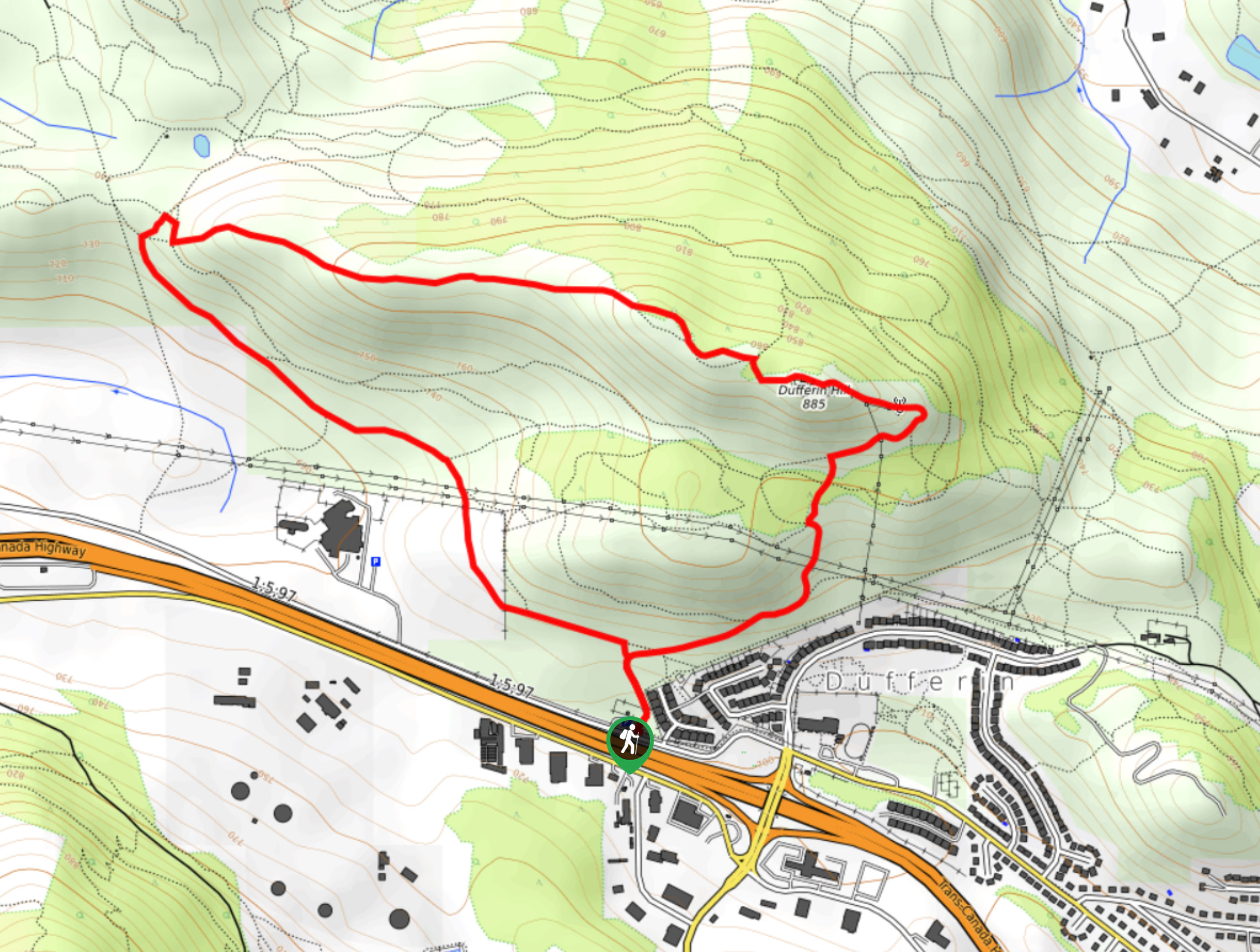
Hiking the Kenna Cartwright Ridge Trail is a great way to get some uphill hiking exercise in, while soaking up the amazing views that the landscape surrounding Kamloops has to offer. Setting out from the parking area, make your way along the trail as it begins to climb uphill to a junction. Take the path to the left to begin the loop portion of the hike that begins next to a stretch of forest before opening up into some more exposed terrain. At the northwest corner of the route, you will begin to hike along a steeper section of the trail that will lead you up onto the top of the ridge. From here, traverse the ridgeline and take in the amazing views, as you head to the east on a route that leads over Mount Dufferin towards the viewpoint. Once there, you will experience an awesome sightline over the city and far out into the valley below. Head right along the trail to descend the ridge and make the return journey back to the parking area.
Similar hikes to the Kenna Cartwright Ridge Trail hike

Community Trail
The Community Trail is a 8.3mi point-to-point hiking route just north of Kamloops, BC, that will allow you…

Lac du Bois Tower Loop
The Lac du Bois Tower Loop is a 4.0mi hiking circuit northwest of Kamloops that will allow you…

Gibraltar Rock
The trek to Gibraltar Rock follows a 2.0mi out-and-back trail that sets out from the Paul Lake Beach…


Comments