

Scatchard Mountain Switchbacks
View PhotosScatchard Mountain Switchbacks
Difficulty Rating:
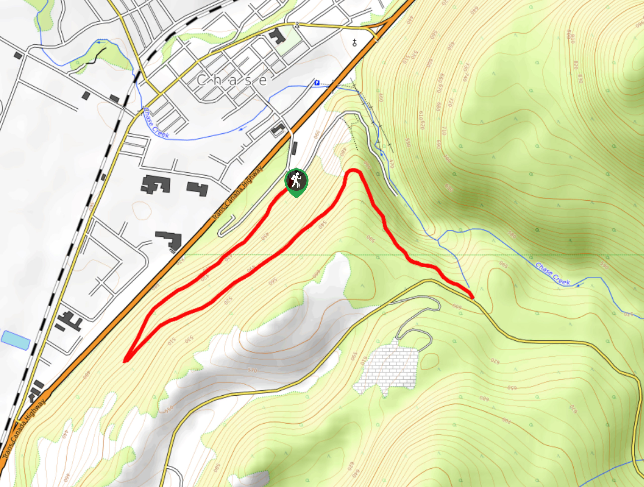
The Scatchard Mountain Switchbacks follow a 4.1mi out-and-back hiking route in Chase, BC, that can be used year-round due to its popularity with hikers, cross-country skiers, and horseback riders. Along the trail, you will climb up the hillside via a series of switchbacks and experience some amazingly scenic views overlooking Chase, Little Shuswap Lake, and the mountains behind. Although there is a bit of an incline, this trail is great for hikers of almost every skill level.
Getting there
To reach the trailhead for the Scatchard Mountain Switchbacks from Chase, head southeast along Coburn Street for 1312ft and continue straight onto Foothills Road. After 525ft, make a slight left onto Cemetery Road and you will find the trailhead in 148ft.
About
| When to do | Year-Round |
| Backcountry Campsites | No |
| Pets allowed | Yes |
| Family friendly | Yes |
| Route Signage | Average |
| Crowd Levels | Moderate |
| Route Type | Out and back |
Scatchard Mountain Switchbacks
Elevation Graph
Weather
Scatchard Mountain Switchbacks Description
Hiking the Scatchard Mountain Switchbacks is a fun adventure in the North Thompson Valley that will provide some amazing views looking out onto the valley and surrounding mountains for little effort. Setting out from the roadside trailhead, follow the wide rocky path as it begins to climb uphill to the southwest. As the switchbacks are fairly wide, the trail follows a gentle uphill slope that will make it an enjoyable trek for hikers of all skill levels. Continue heading uphill through the forest and enjoy the scenic views of the surrounding landscape, until you reach the top of the trail near Chase Creek. Take in the beautiful views of the town nestled snugly along the valley floor before descending along the same route to return to the trailhead.
Similar hikes to the Scatchard Mountain Switchbacks hike

Community Trail
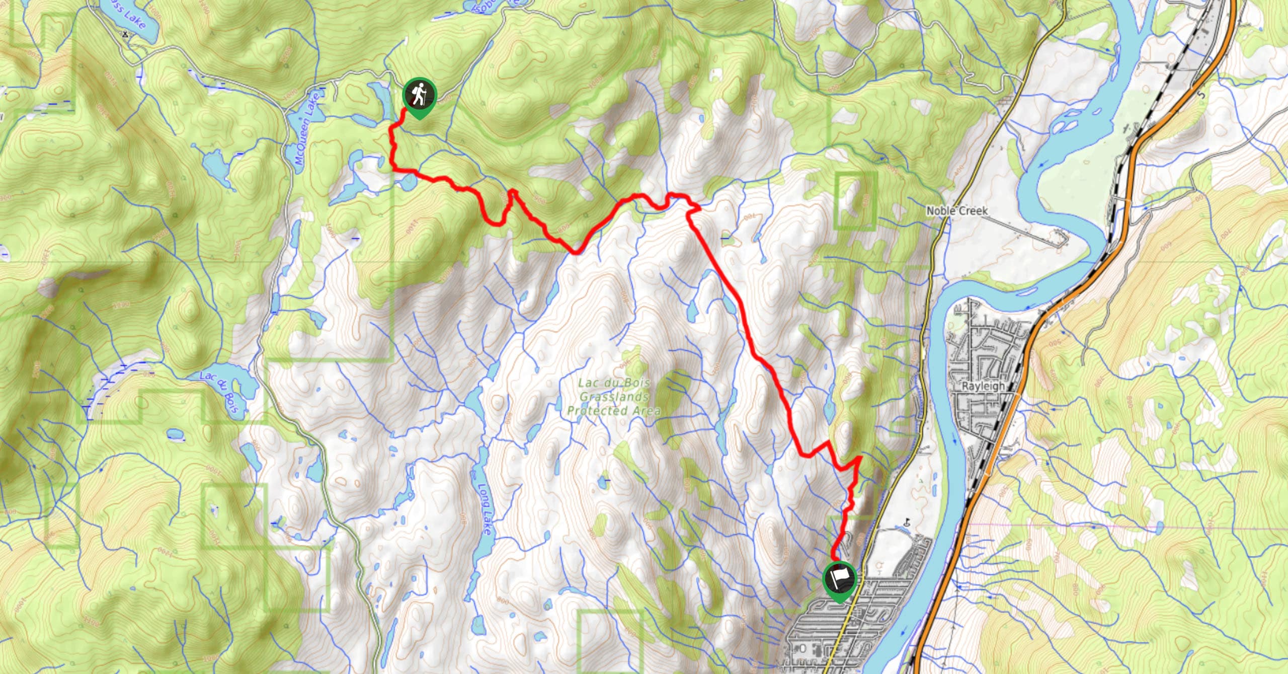
The Community Trail is a 8.3mi point-to-point hiking route just north of Kamloops, BC, that will allow you…

Lac du Bois Tower Loop
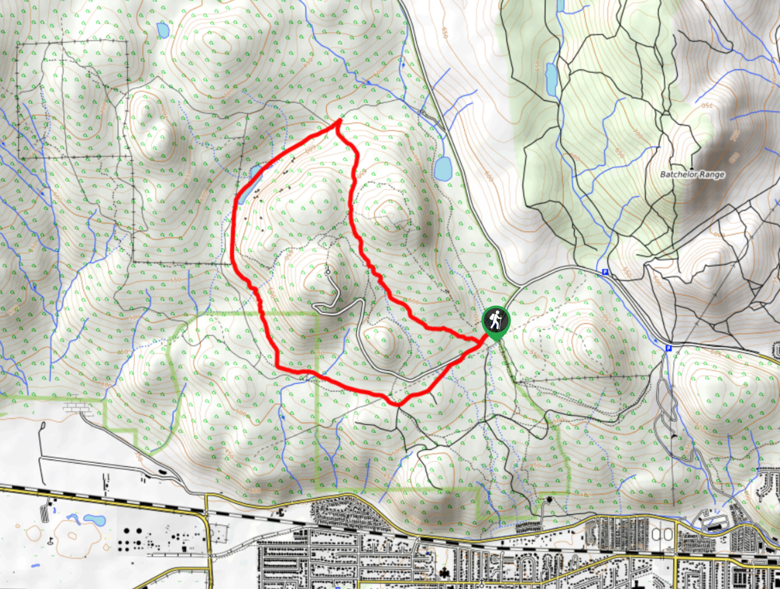
The Lac du Bois Tower Loop is a 4.0mi hiking circuit northwest of Kamloops that will allow you…

Gibraltar Rock
The trek to Gibraltar Rock follows a 2.0mi out-and-back trail that sets out from the Paul Lake Beach…


Comments