

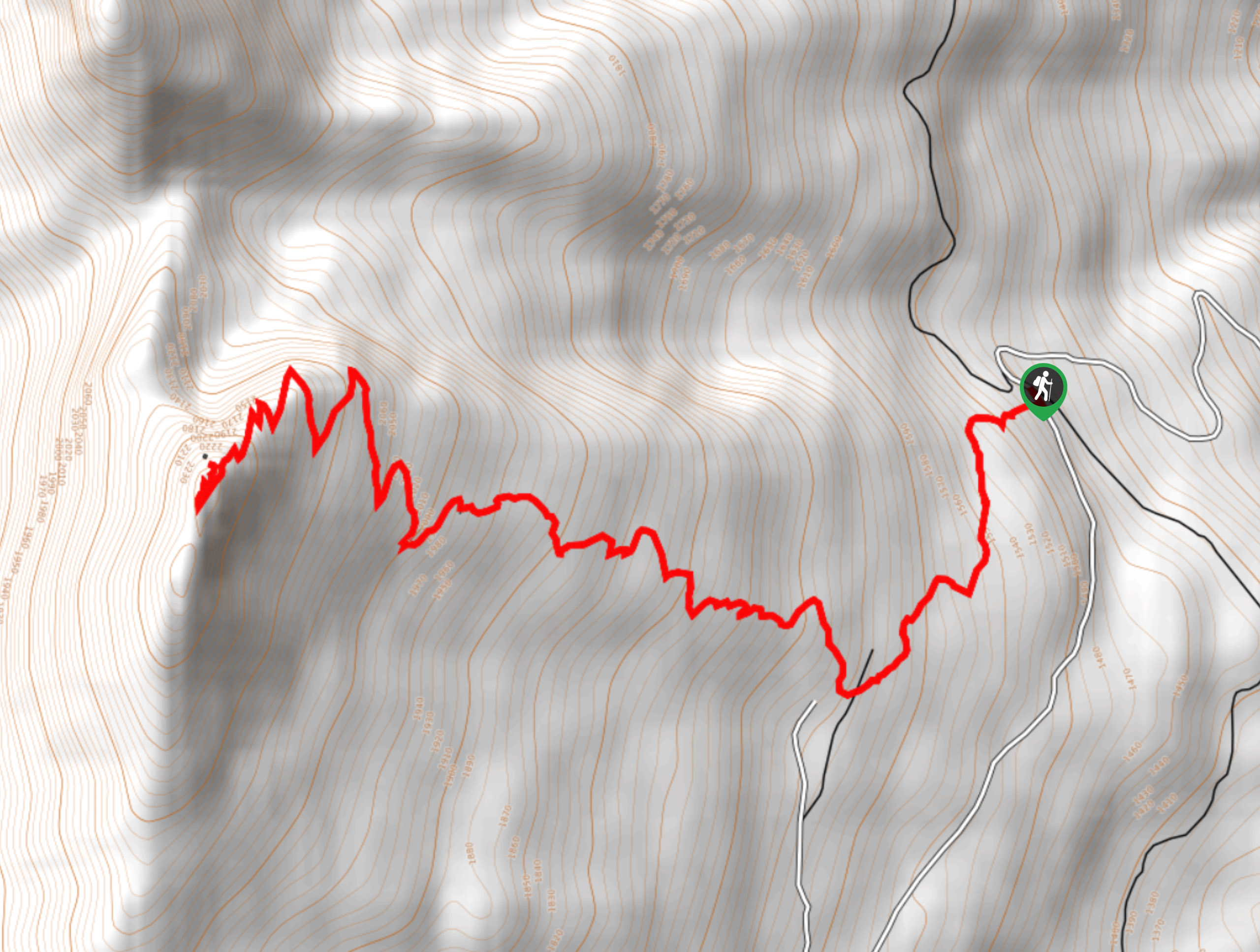
Saddle Mountain Lookout
View PhotosSaddle Mountain Lookout
Difficulty Rating:
The Saddle Mountain Lookout trail is an 5.3mi out-and-back hiking route that will take you up to a scenic vantage point with 360° panoramic views. Making your way to the summit looks near impossible from the bottom of the trail; however, the climb is much easier than you think and loops around the backside of the peak to provide amazing views overlooking Upper Arrow Lake and the surrounding mountains. Pair this with an overnight stay atop the mountain for some breathtaking views at sunrise.
Getting there
To reach the Saddle Mountain Lookout trailhead from the Arrow Park Ferry, head north for 492ft and turn right onto Saddle Mountain Road. After 5.9mi, make a sharp left turn and continue on for 5.0mi to arrive at the trailhead.
About
| When to do | May-October |
| Backcountry Campsites | No |
| Pets allowed | No |
| Family friendly | No |
| Route Signage | Average |
| Crowd Levels | Low |
| Route Type | Out and back |
Saddle Mountain Lookout
Elevation Graph
Weather
Saddle Mountain Lookout Trail Description
Hiking up to the Saddle Mountain Lookout is an amazing adventure that will produce some spectacular views of the surrounding mountainous landscape and will provide you with a great sense of accomplishment at having reached such a breathtaking mountain top perch. The route sets out from the trailhead and climbs steadily uphill through the heavily-wooded lower slope of the mountain before breaking out into the subalpine terrain. From here, the trail will become more rocky and technical as you work your way through a series of switchbacks. Eventually, the trail will skirt around the backside of the summit to bring you up to the amazing lookout atop Saddle Mountain. From here, you can take in the amazing views across the rugged BC landscape and even stay the night in the building before heading back along the same trail to return to the parking area below.
Similar hikes to the Saddle Mountain Lookout hike
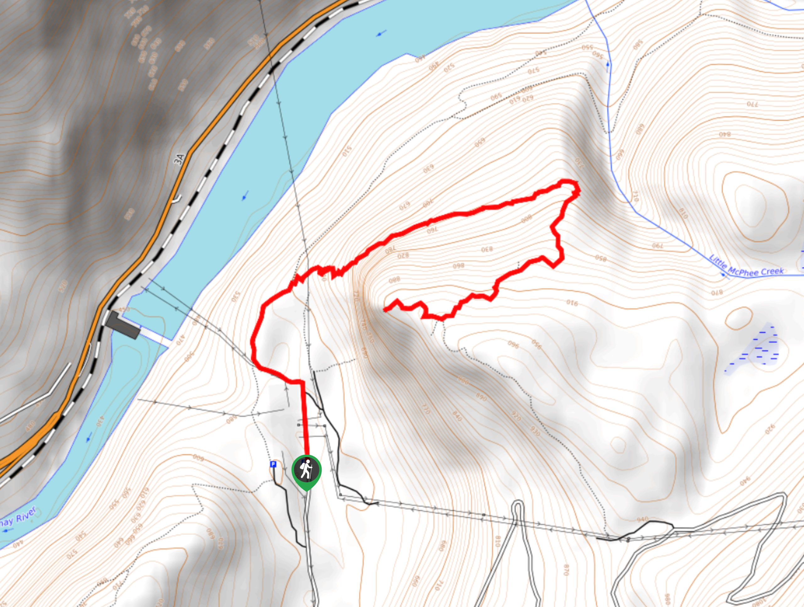
Brilliant Overlook Hike
The hike to Brilliant Overlook is a 3.7mi out-and-back trail in Castlegar, BC, that works through the forest…
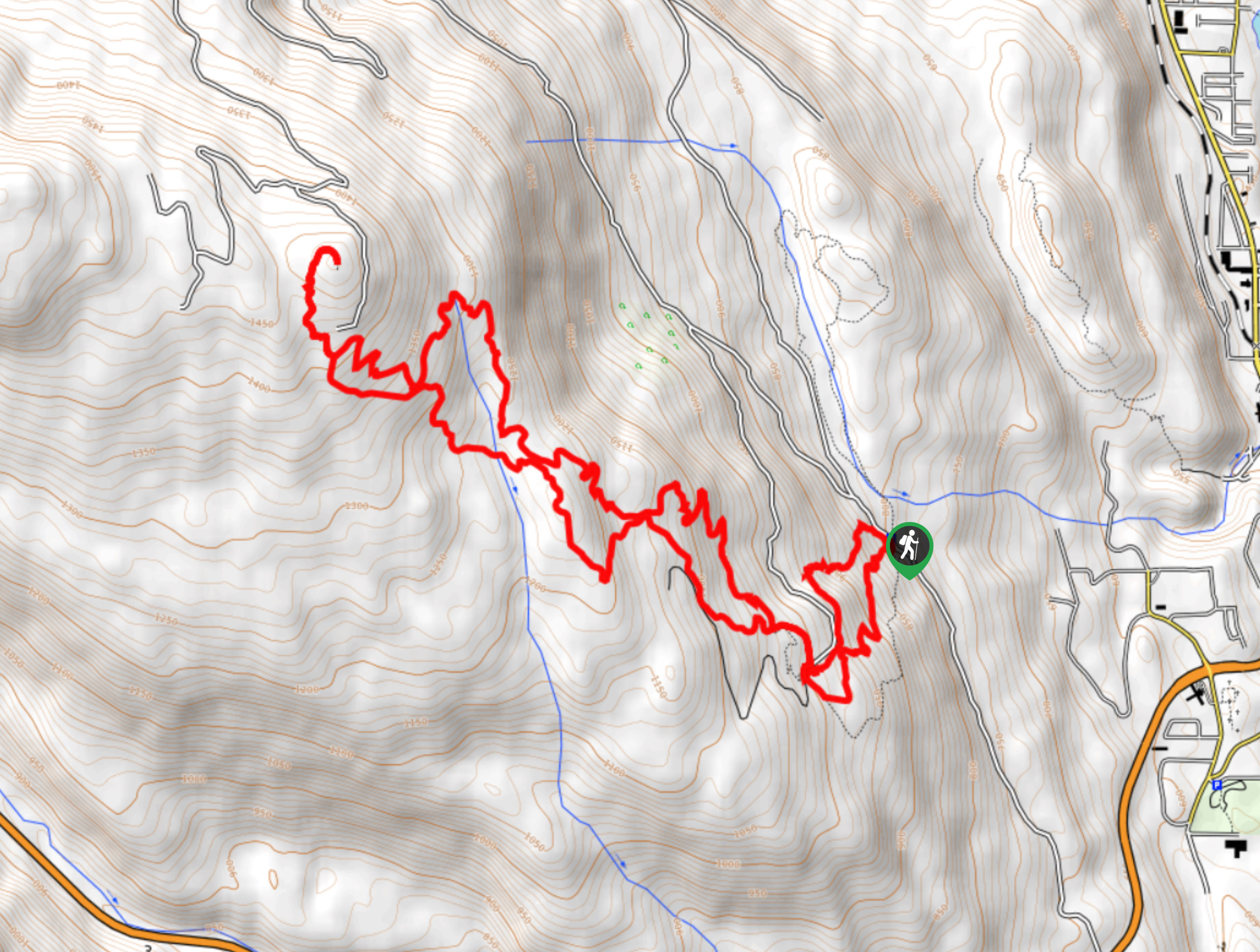
Merry Loop
The Merry Loop Trail is a 8.7mi circuit hiking route that utilizes a multi-use trail through a beautiful…
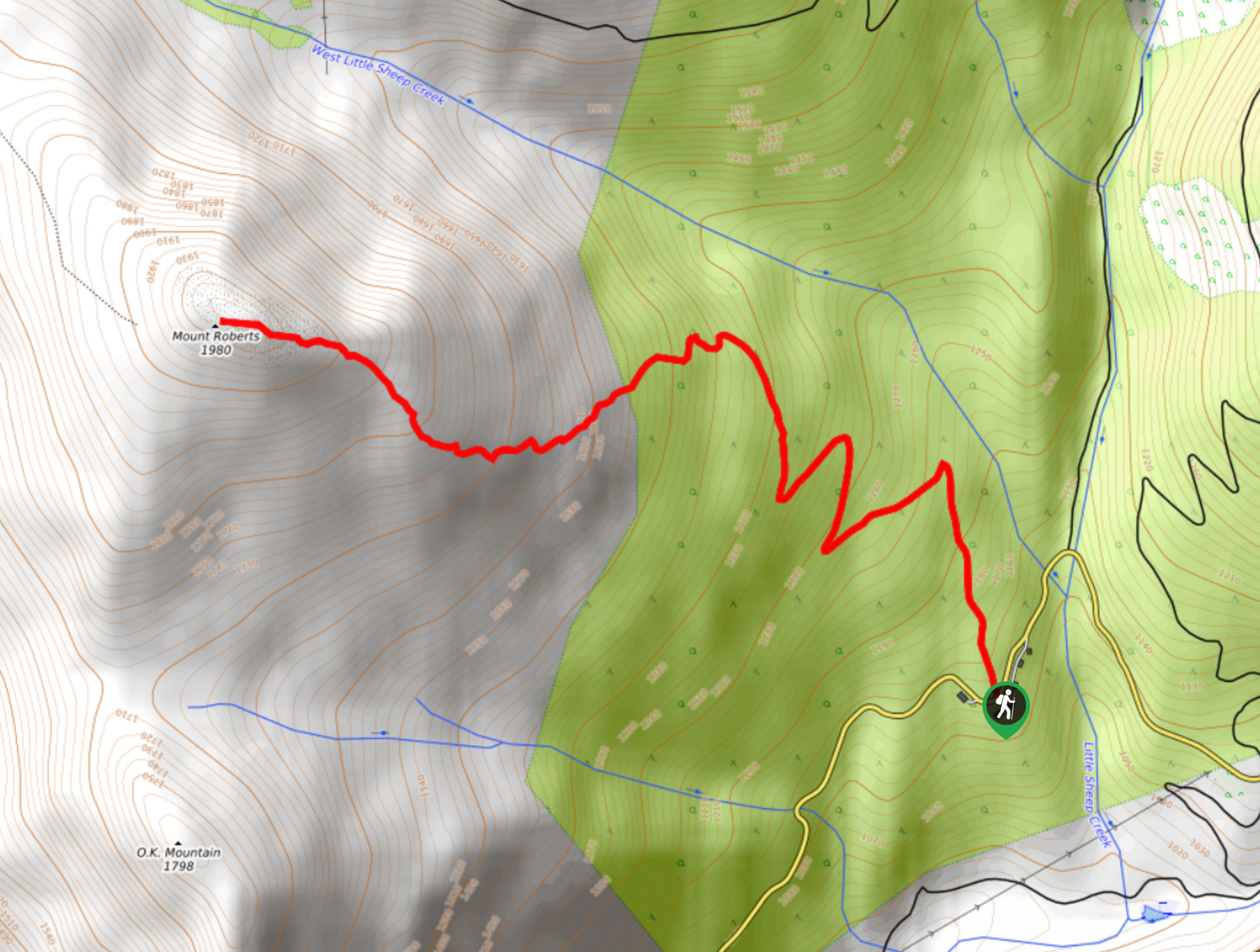
Mount Roberts Trail
The hike up Mount Roberts follows a rugged 4.6mi out-and-back trail that will take you up the mountain…



Comments