

Sphinx Mountain Trail
View PhotosSphinx Mountain Trail
Difficulty Rating:
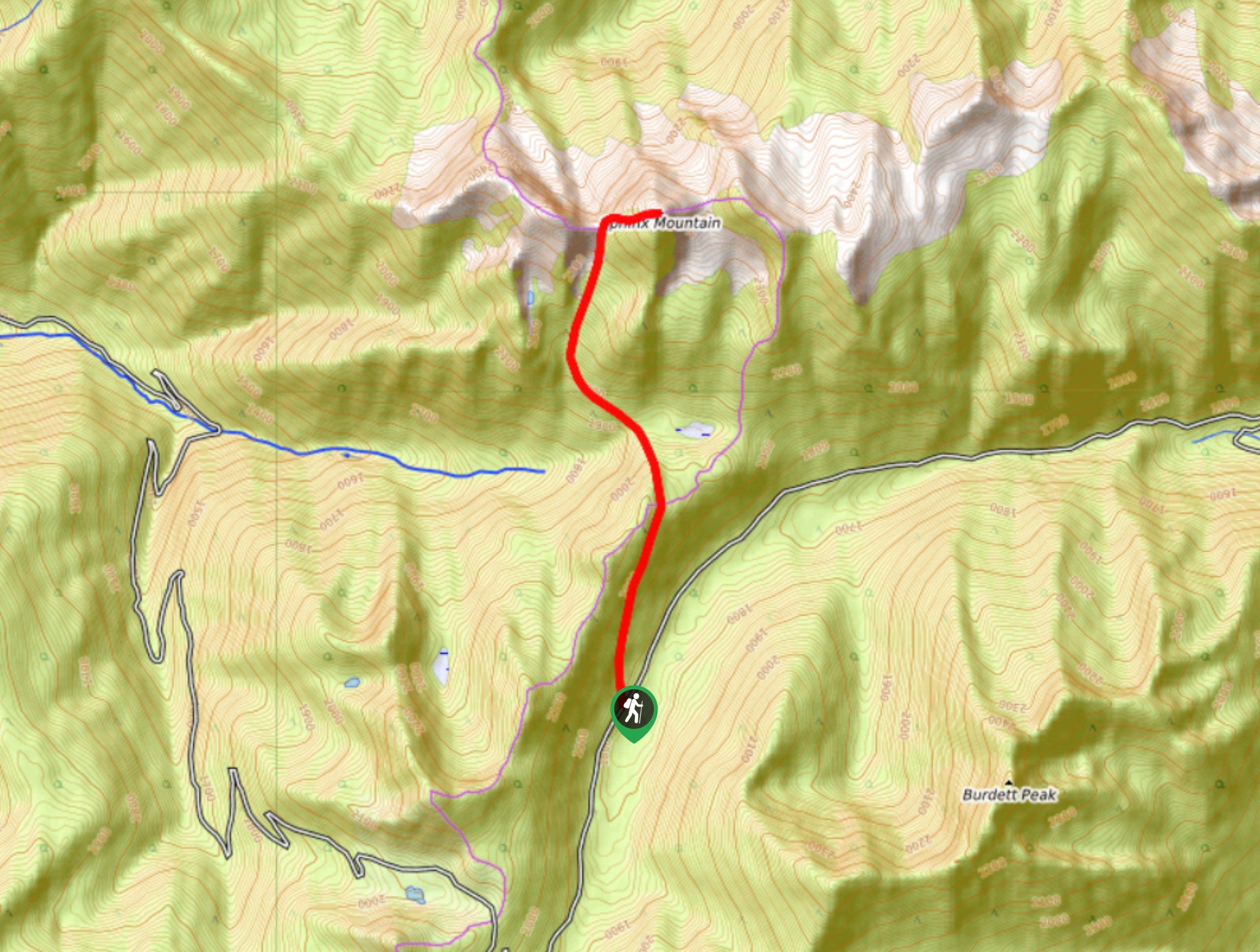
The Sphinx Mountain Trail is a 5.9mi out-and-back hiking route that climbs steeply uphill to reach the saddle of the mountain, where you will experience amazing views of the surrounding landscape. Along the hike you can expect a gruelling climb that will leave you exhausted but rewarded by the amazing views at the end. Note that this trail ends in the saddle of Sphinx Mountain; however, experienced hikers can continue on to either the east or west summit.
Getting there
To get to the Sphinx Mountain Trail from Crawford Bay, head south along BC-3A for 4.7mi and turn left onto Oliver Road. Reset your odometer here and at the 0.8mi mark turn left at the fork. After 3.7mi along the road, you will begin to make your way up a series of switchbacks. Continue along the main road and at the 13.7mi mark, you will find the trailhead.
About
| When to do | July-September |
| Backcountry Campsites | No |
| Pets allowed | No |
| Family friendly | No |
| Route Signage | Average |
| Crowd Levels | Low |
| Route Type | Out and back |
Sphinx Mountain Trail
Elevation Graph
Weather
Sphinx Mountain Trail Description
Although a beautiful mountain, the Sphinx is a challenging beast to summit due to the steep nature of the ascent and the rocky terrain. As mentioned, after reaching the saddle, hikers can continue on to reach either of the two summits; however, the west summit is more of a technical scramble, so the east is the preferred choice for many hikers.
The trail sets out along a mining road and follows it on an uphill climb through the forest. After levelling out a bit, you will pass by an old mining cabin and begin to briefly head downhill with a view of the Sphinx ahead of you. After crossing a creek, you will begin to climb sharply uphill again on the ascent of the saddle between the two peaks. Once you reach the top, you will have some amazing views of countless mountains in front of you and each of the Sphinx peaks on either side. Hikers wishing to summit the east peak can use their route finding skills to push another 1km uphill, although it is a bit of a slog with 820ft of elevation gain. At the top you can expect more of the same breathtaking views, just from a different vantage point. After taking in the views, head back down the same route to return to the trailhead.
Similar hikes to the Sphinx Mountain Trail hike

Brilliant Overlook Hike
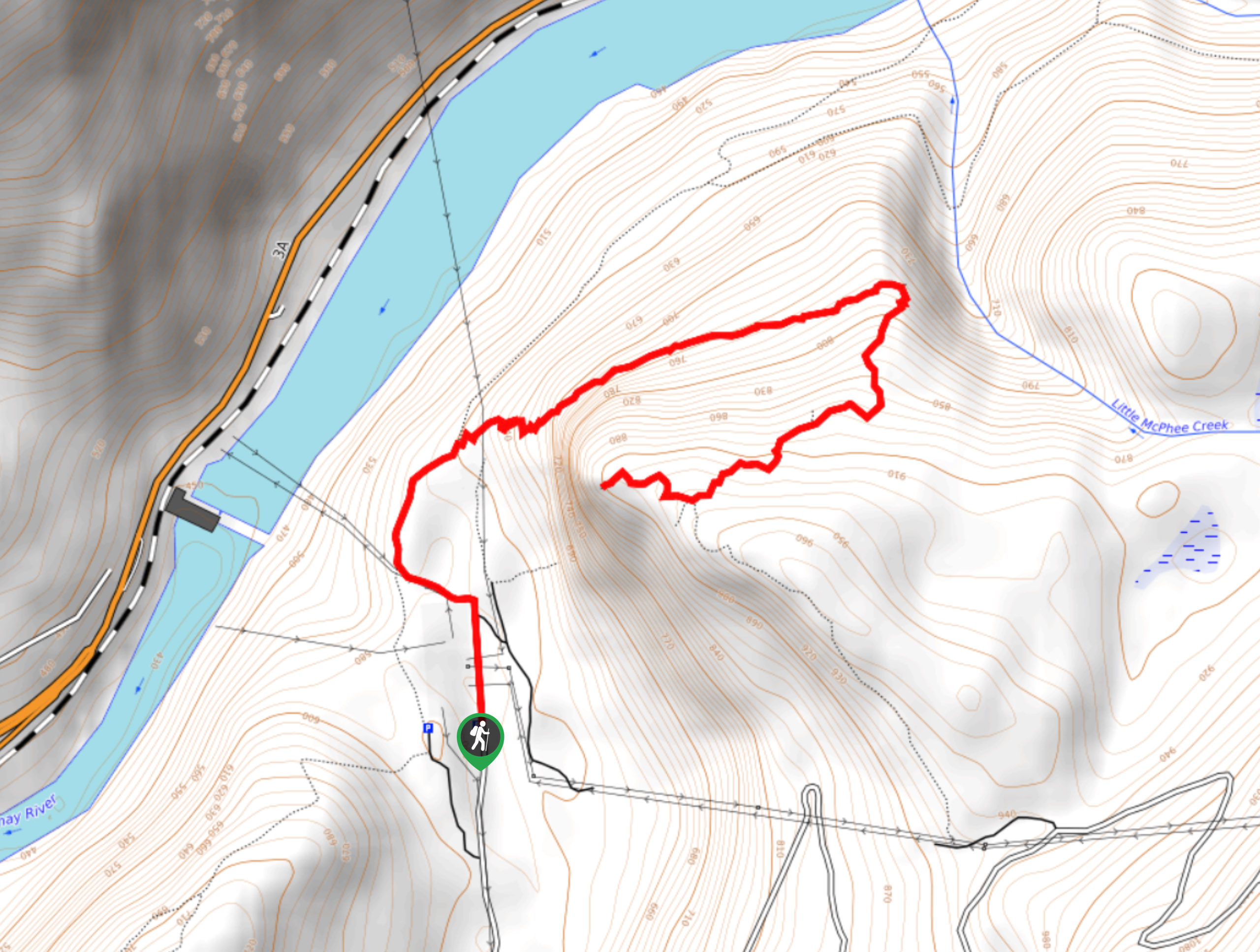
The hike to Brilliant Overlook is a 3.7mi out-and-back trail in Castlegar, BC, that works through the forest…

Merry Loop
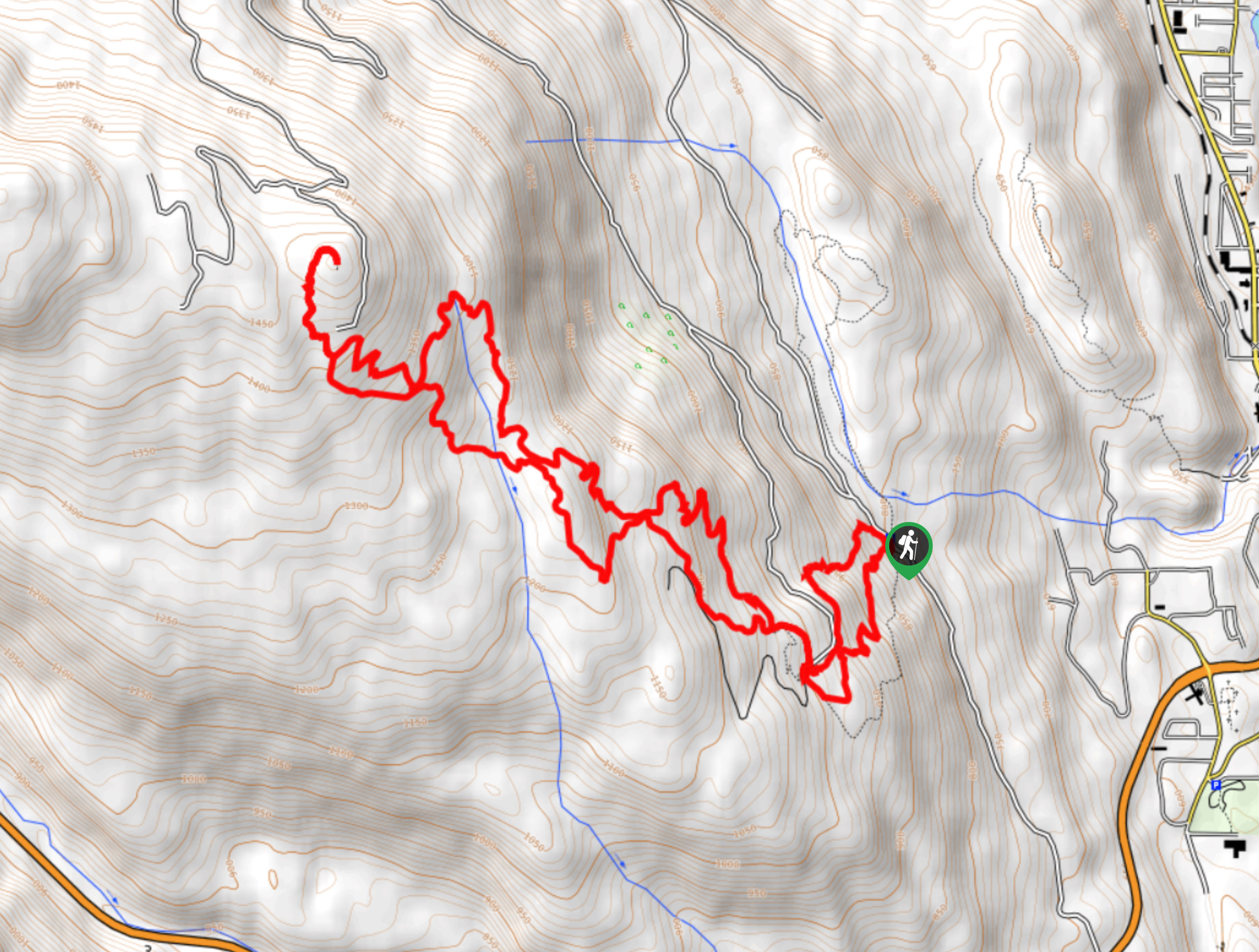
The Merry Loop Trail is a 8.7mi circuit hiking route that utilizes a multi-use trail through a beautiful…

Mount Roberts Trail
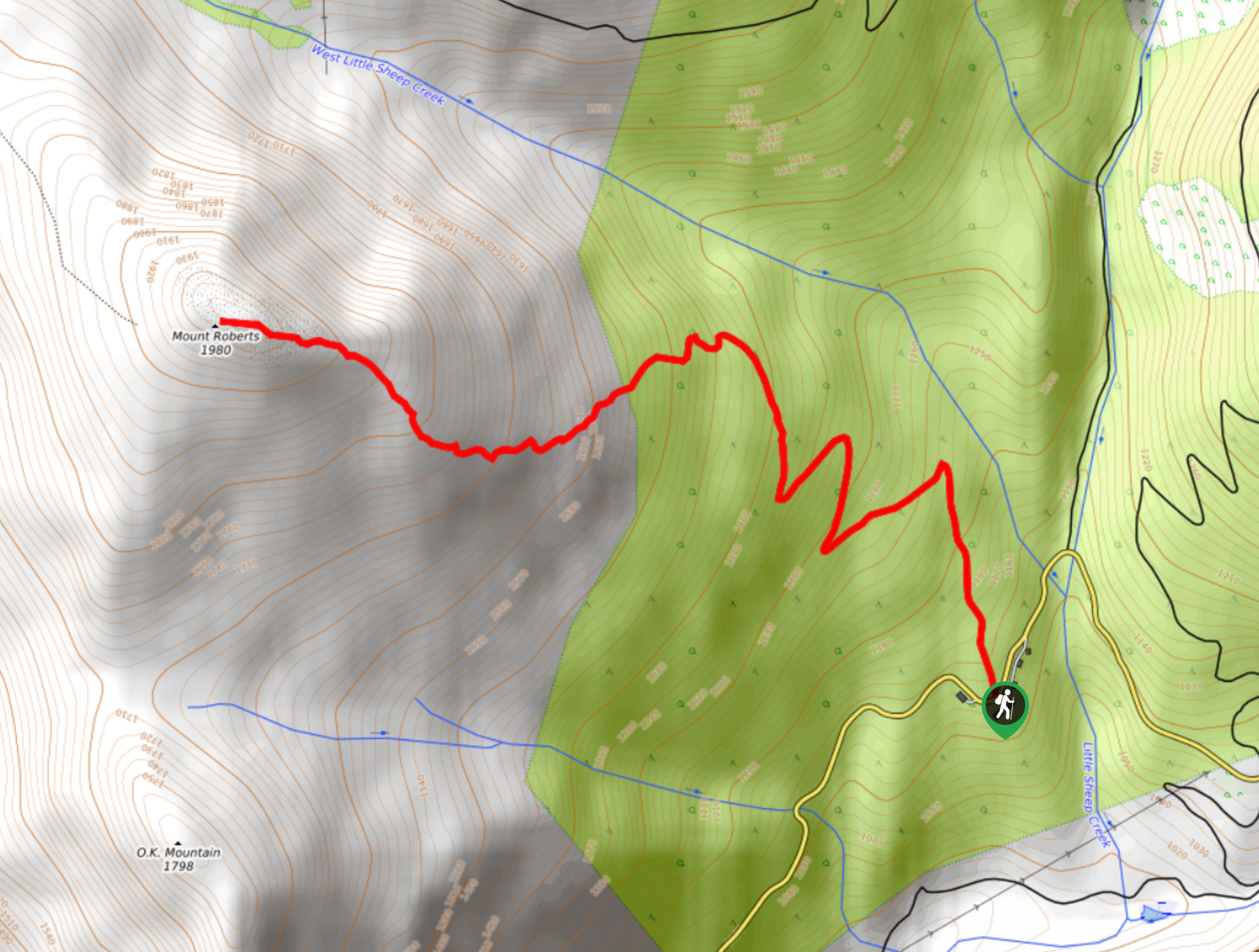
The hike up Mount Roberts follows a rugged 4.6mi out-and-back trail that will take you up the mountain…


Comments