
Christina Lake Hike
View Photos
Christina Lake Hike
Difficulty Rating:
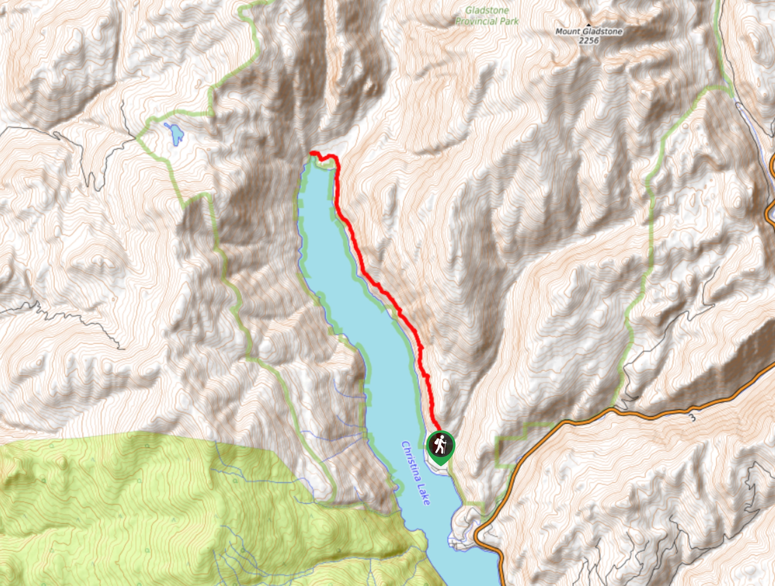
The Christina Lake Hike is a 14.1mi out-and-back route that sets out from the Texas Creek Campground and travels along the eastern shore of the lake to its northernmost point. Along the trail, you will hike through beautifully scenic forests and experience views that stretch across the picturesque waters of the lake and surrounding mountains. Make sure to bring bear spray and make plenty of noise along the trail, as bears are often spotted in the area.
Getting there
To access the Christina Lake trailhead from the town of Christina Lake, head north on BC-3 for 4.4mi and keep right to exit onto E Lake Drive. Follow this for 0.6mi and turn right to stay on the same road. After 984ft, turn left and follow the road for another 2.2mi to reach the Texas Creek Campground. Turn right onto Texas Creek Road, and you will find the trailhead on the right in 853ft.

About
| When to do | April-November |
| Backcountry Campsites | Texas Creek Campground, Trapper Creek Campground |
| Pets allowed | Yes |
| Family friendly | No |
| Route Signage | Average |
| Crowd Levels | Low |
| Route Type | Out and back |
Christina Lake Hike
Elevation Graph
Weather
Christina Lake Hike Description
Hiking along Christina Lake is a great experience that will allow you to take in the natural beauty of the surrounding landscape and enjoy some truly spectacular views that sweep across the blue waters of the lake. The trail initially begins with a fairly steep section before flattening out on a ridge that runs alongside the lake. The path can be narrow in some places, so watch your footing and remember to wear proper hiking footwear for this lengthy trek through the forest.
Setting out from the Texas Creek Campground, the trail enters the forest and briefly heads east, before turning to the north and following a route that runs parallel to the lake. As mentioned, there is a bit of an initial climb that very quickly levels out as you make your way onto the ridge. From here, follow the trail north and enjoy the intermittent views of the picturesque lake, eventually coming to a nice lookout at the Trapper Creek Campground.
Continue north, as you work your way past Deer and Knob points before arriving at the northernmost part of the lake around Sandner Creek Beach. Take some time to explore the area and gaze out across the charming waters of Christina Lake before heading back along the same route to return to the trailhead.
Similar hikes to the Christina Lake Hike hike
Wilson Creek Falls Trail
The Wilson Creek Falls Trail is a 1.8mi out-and-back route in Goat Range Provincial Park that travels along…
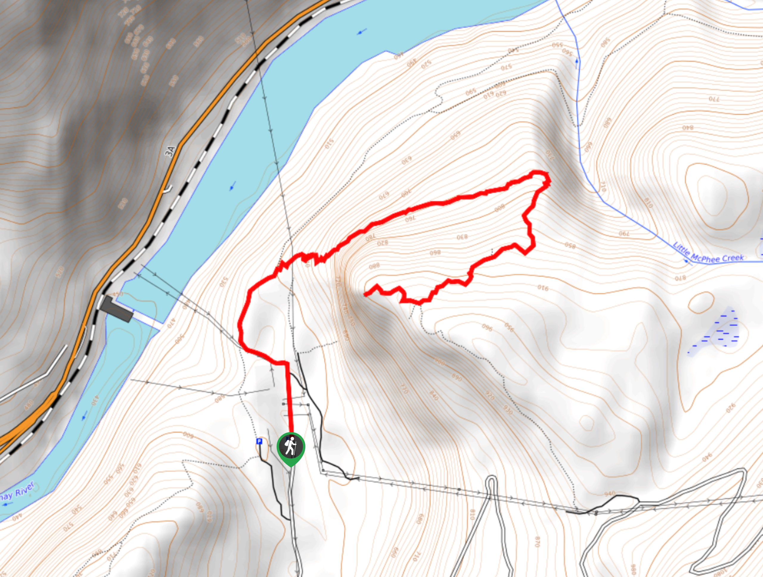
McPhee Waterfalls Hike
The McPhee Waterfalls Hike is a 3.5mi out-and-back hiking route near Castlegar, BC, that will take you along…
Brilliant Overlook Hike
The hike to Brilliant Overlook is a 3.7mi out-and-back trail in Castlegar, BC, that works through the forest…
Comments