Great Northern Trail
View Photos
Great Northern Trail
Difficulty Rating:
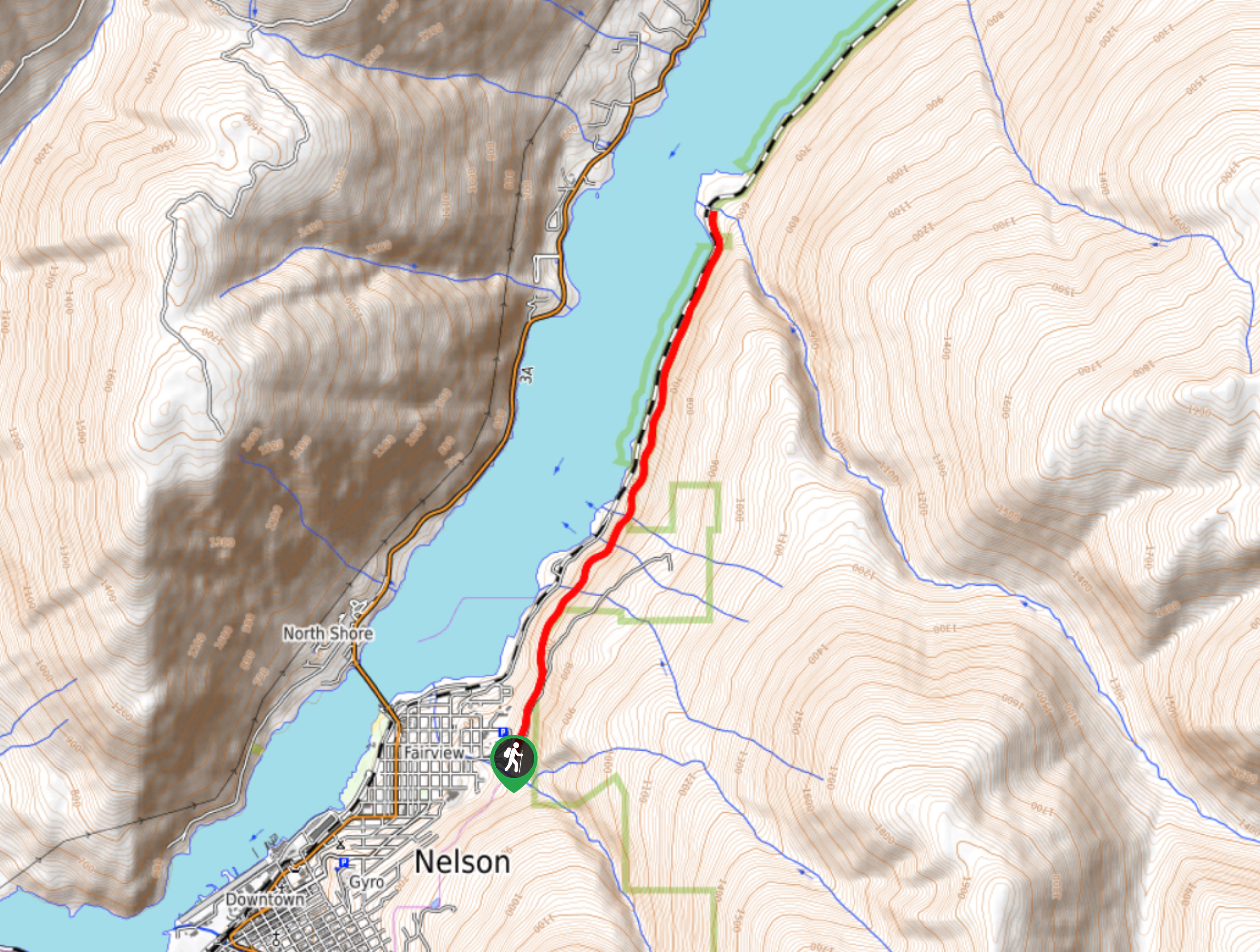
The Great Northern Trail is an 6.9mi out-and-back hiking route that will take you from the city of Nelson along an abandoned rail line to the sandy beaches of 5 Mile Point. Hikers will make their way along a well-maintained and easy-to-navigate trail that is surrounded by beautiful forests and scenic views of the surrounding area. This hiking route is a fantastic way to explore the natural beauty of the landscape surrounding Nelson.
Getting there
To get to the Great Northern Trail from the BC-3A highway in Nelson, turn off the highway onto Elwyn Street and follow it for 0.6mi. Turn left to stay on the road for another 361ft, where you will find the trailhead on the left.

About
| When to do | March-November |
| Backcountry Campsites | No |
| Pets allowed | Yes - On Leash |
| Family friendly | Yes |
| Route Signage | Average |
| Crowd Levels | Moderate |
| Route Type | Out and back |
Great Northern Trail
Elevation Graph
Weather
Great Northern Trail Description
The Great Northern Trail is a beautiful hiking route along some easy-going terrain that will take you to a fantastic lookout along the beaches of 5 Mile Point. The trail begins near the Selkirk College campus and heads to the north along an abandoned rail line that runs parallel to Svoboda Road. Along the trail, you will be surrounded by a charming forest setting with intermittent views overlooking Kootenay Lake. As you hike along the edge of West Arm Provincial Park, you will cross over the Hermitage, Bossuet, and Bose creeks, before eventually arriving at 5 Mile Point. Here, you can explore the surrounding area, including the white sandy beaches that offer a perfect viewpoint to watch a sunset over the lake. After experiencing the views, make your way back along the same trail to return to the trailhead.
Similar hikes to the Great Northern Trail hike
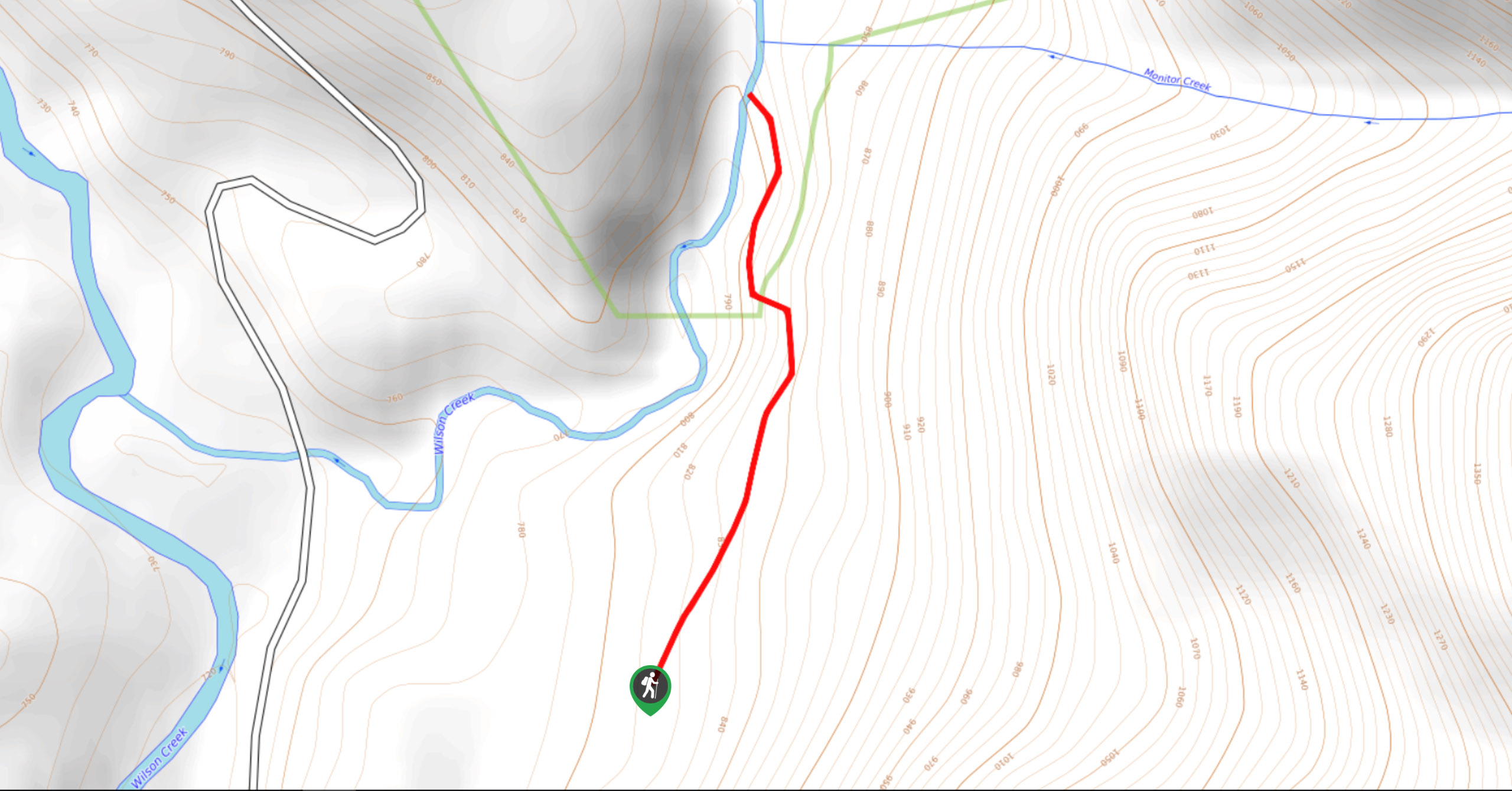
Wilson Creek Falls Trail
The Wilson Creek Falls Trail is a 1.8mi out-and-back route in Goat Range Provincial Park that travels along…
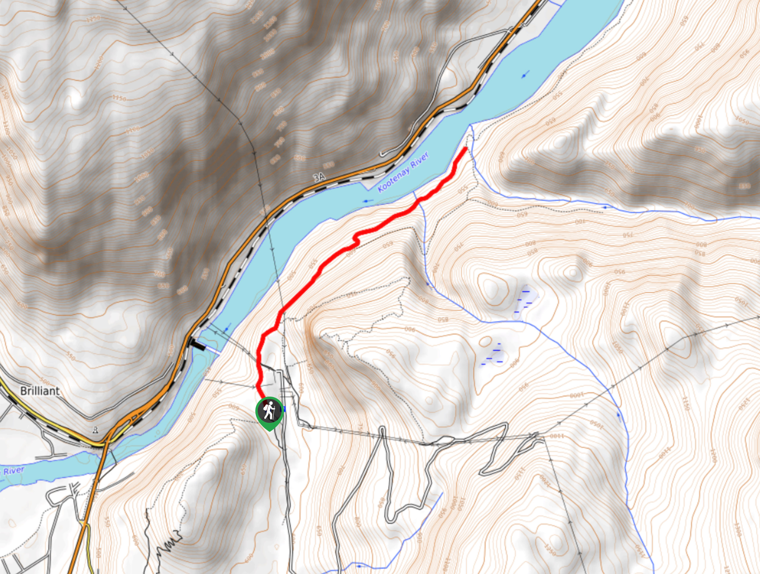
McPhee Waterfalls Hike
The McPhee Waterfalls Hike is a 3.5mi out-and-back hiking route near Castlegar, BC, that will take you along…
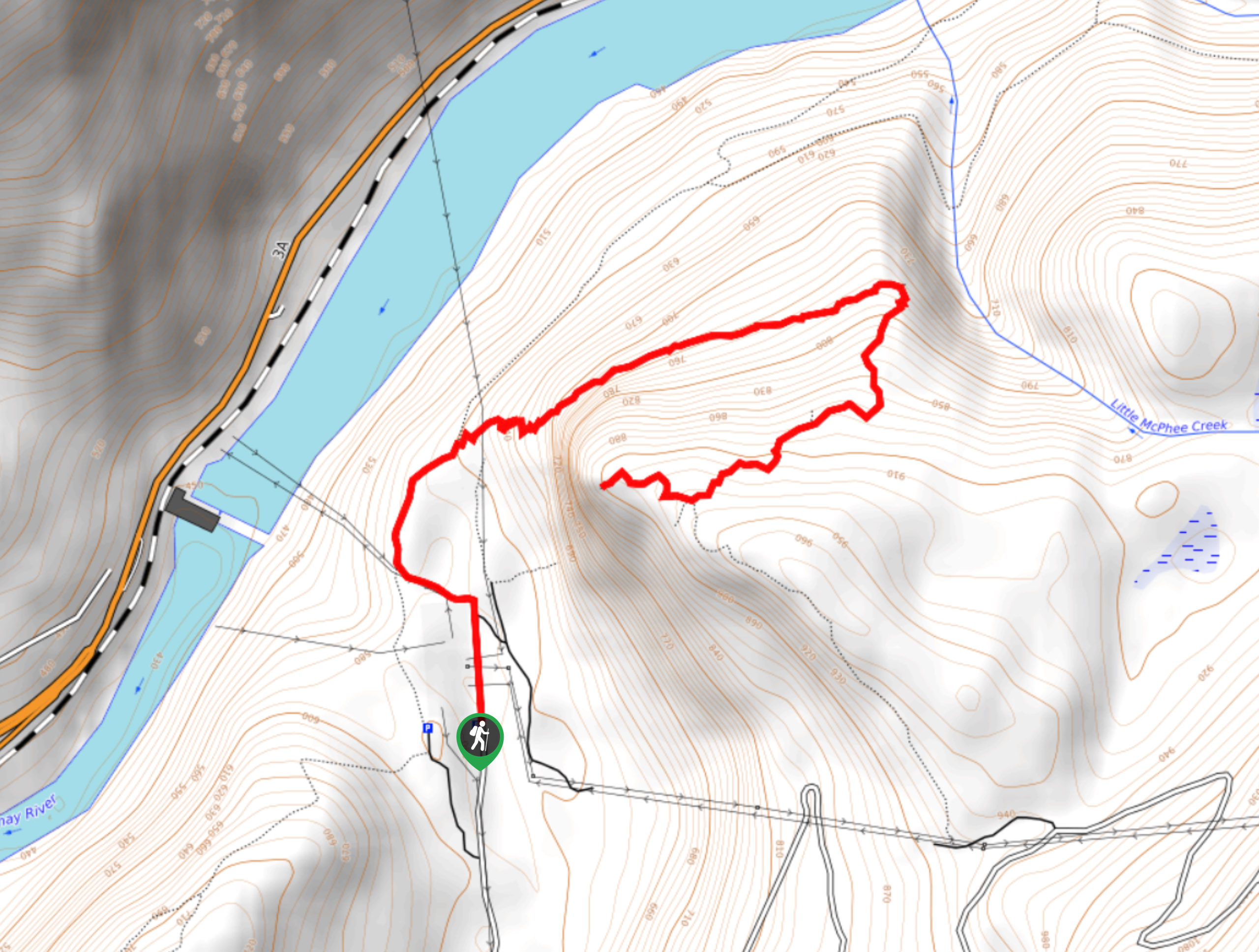
Brilliant Overlook Hike
The hike to Brilliant Overlook is a 3.7mi out-and-back trail in Castlegar, BC, that works through the forest…
Comments