Old Growth Recreation Trail
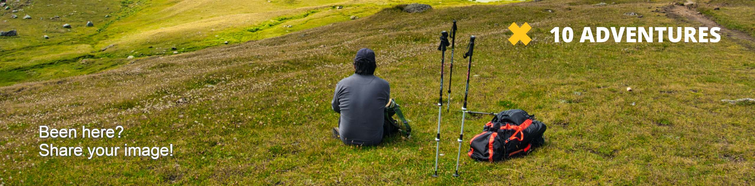
View Photos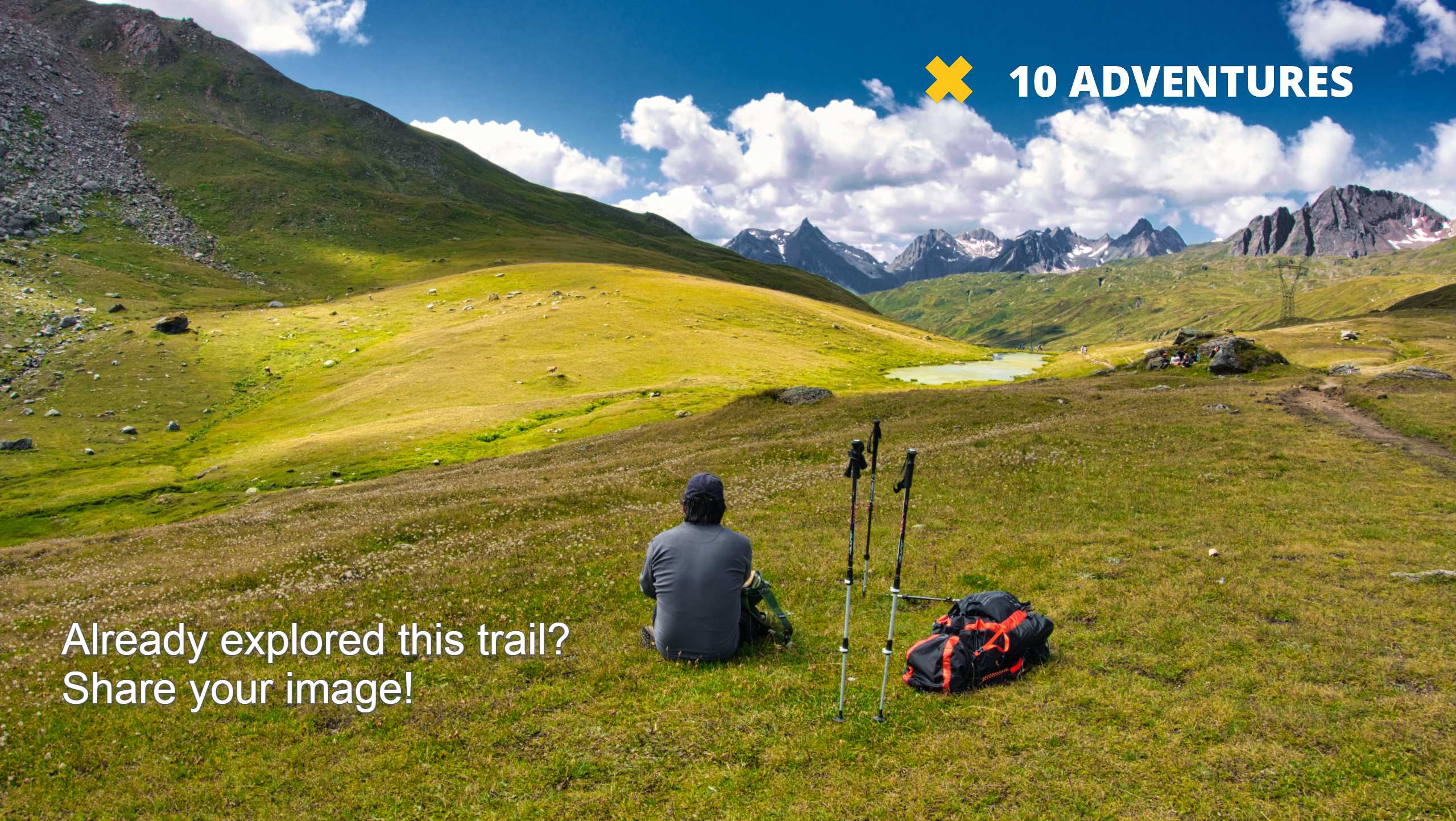
Old Growth Recreation Trail
Difficulty Rating:
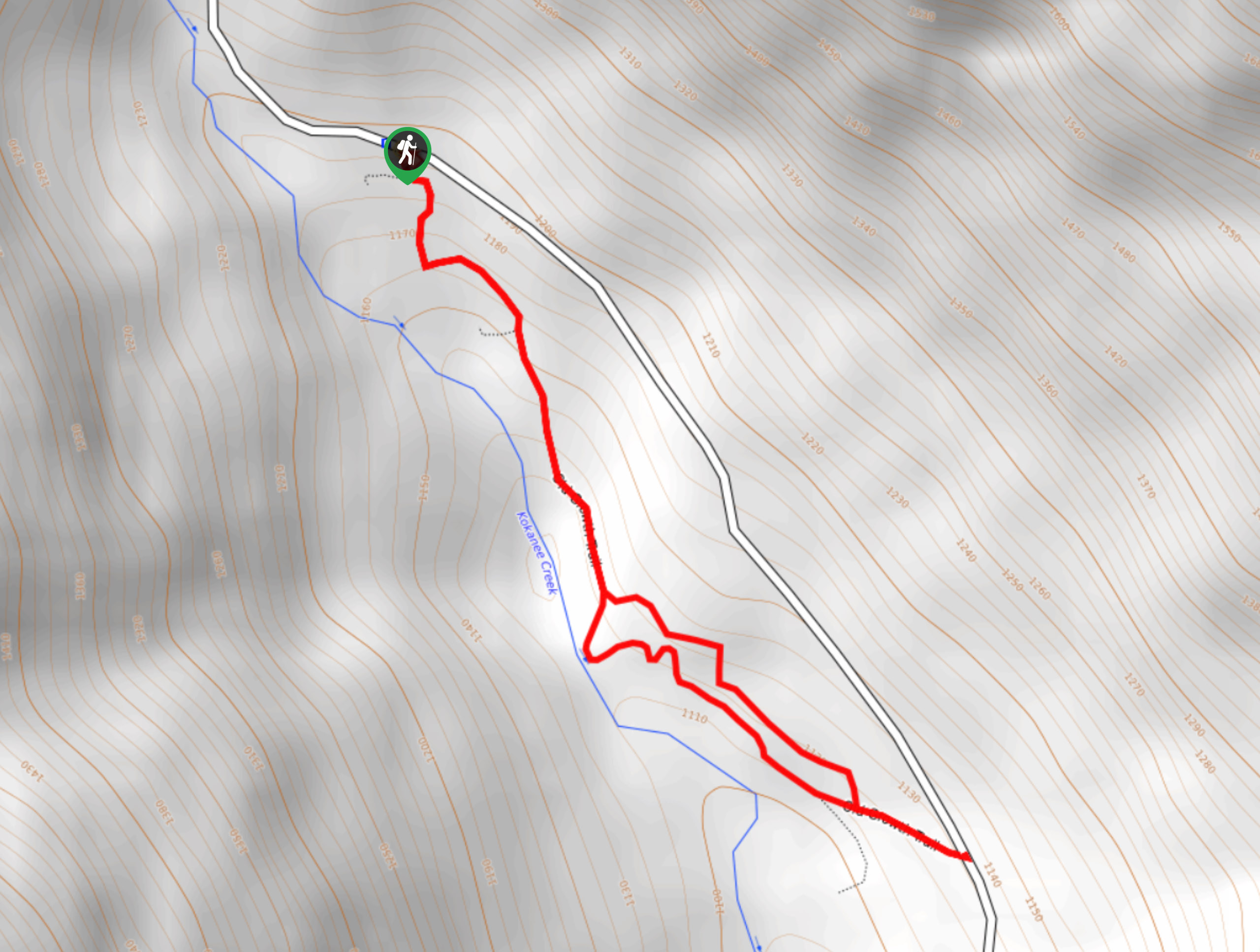
The Old Growth Recreation Trail is a 1.6mi out-and-back hiking route near the entrance to Kokanee Glacier Provincial Park that will allow you to get up-close and personal with some massive cedar trees. Located right off the main road, this easy-to-navigate trail is the perfect place for a roadside stop to stretch your legs and enjoy the beauty of nature. Take your time exploring the area and reading from the interpretive signs along the trail to find out more about the beautiful forest landscape.
Getting there
To reach the Old Growth Trail from Nelson, head north on BC-3A for 11.9mi and turn left on Kokanee Glacier Road. In 7.3mi, you will find the trailhead on the left.

About
| When to do | April-November |
| Backcountry Campsites | No |
| Pets allowed | Yes - On Leash |
| Family friendly | Yes |
| Route Signage | Average |
| Crowd Levels | Moderate |
| Route Type | Out and back |
Old Growth Recreation Trail
Elevation Graph
Weather
Old Growth Recreation Trail Description
Hiking along the Old Growth Recreation Trail is a fun, educational, and scenic experience that will allow you to reach out and hug some mammoth old-growth cedar trees that are hundreds of years old. The trail sets out from the side of the road and enters into the forest on a route towards the southeast. Take your time strolling through the relaxing forest setting, while absorbing the interesting facts on offer from the interpretive signs along the trail. As you continue through the forest, the trail will run parallel to the flowing waters of Kokanee Creek before turning to the east to meet back up with the main road. Once you have reached the road, head back along the trail to experience the picturesque forest from a different perspective before eventually making your way back to the trailhead.
Similar hikes to the Old Growth Recreation Trail hike
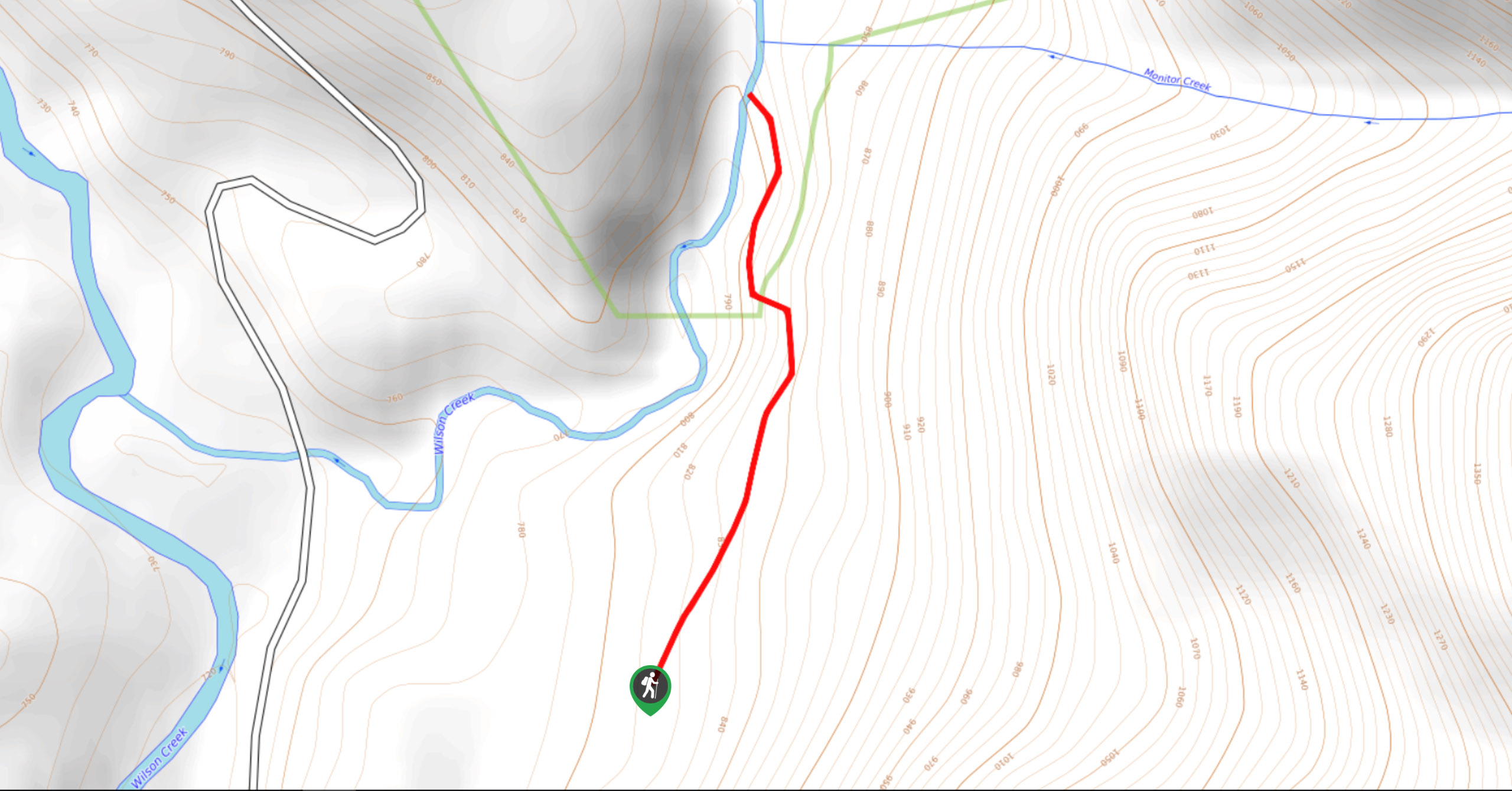
Wilson Creek Falls Trail
The Wilson Creek Falls Trail is a 1.8mi out-and-back route in Goat Range Provincial Park that travels along…
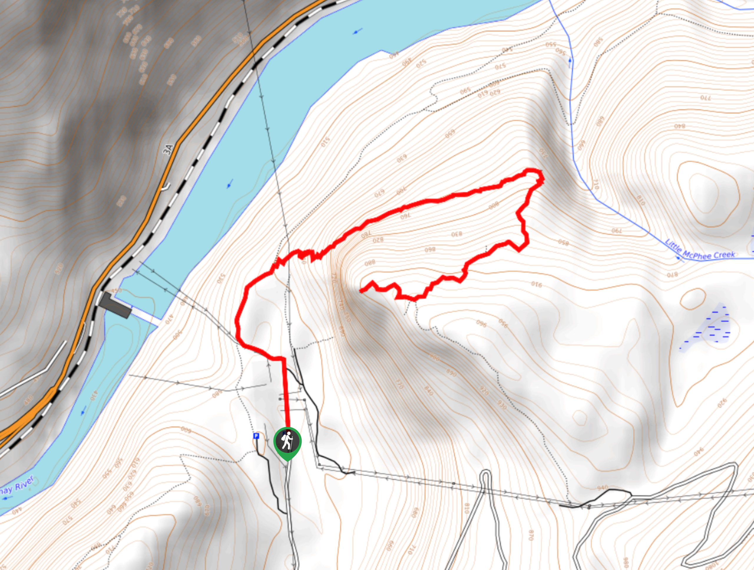
McPhee Waterfalls Hike
The McPhee Waterfalls Hike is a 3.5mi out-and-back hiking route near Castlegar, BC, that will take you along…
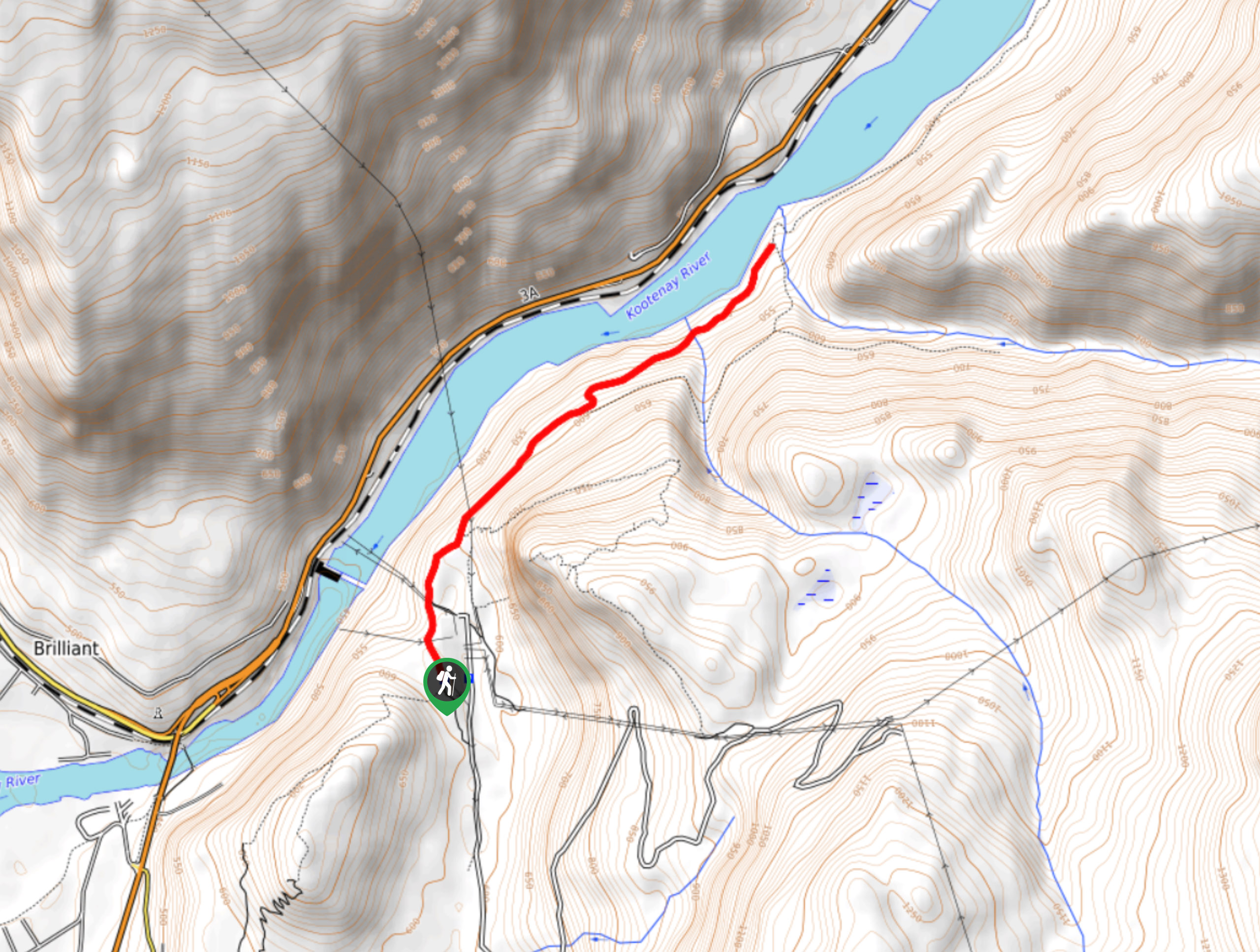
Brilliant Overlook Hike
The hike to Brilliant Overlook is a 3.7mi out-and-back trail in Castlegar, BC, that works through the forest…
Comments