

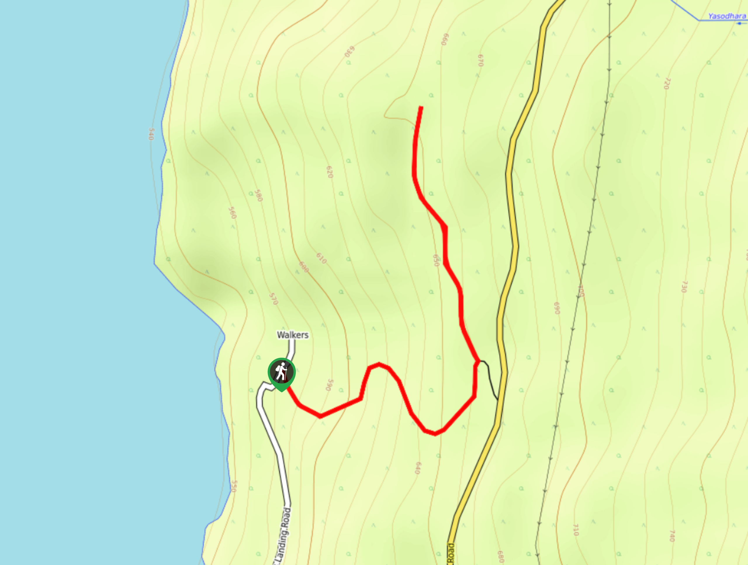
Easter Rock Trail
View PhotosEaster Rock Trail
Difficulty Rating:
The Easter Rock Trail is a 1.5mi out-and-back hiking route near Crawford Bay, BC, that will take you through a beautiful stretch of old-growth forest to visit a serene nature reserve. Along the trail, hikers will experience an amazing forest setting and have the opportunity to relax and reconnect with nature. This is a great family-friendly hike near Kootenay Lake that will give you a full appreciation for the natural beauty of this pristine landscape.
Getting there
To get to the trailhead for the Easter Rock Trail from Crawford Bay, head west on BC-3A for 2.2mi and make a right turn onto Riondel Road. After 0.7mi, turn left on Walkers Landing, and you will find the trailhead on the right in 1.0mi.
About
| When to do | Year-Round |
| Backcountry Campsites | No |
| Pets allowed | Yes - On Leash |
| Family friendly | Yes |
| Route Signage | Average |
| Crowd Levels | Low |
| Route Type | Out and back |
Easter Rock Trail
Elevation Graph
Weather
Easter Rock Trail Description
Hiking along the Easter Rock Trail is a peaceful experience that will allow you to reconnect with the beauty and simplicity of nature. This short trail will see you cross over streams, walk along boardwalks, and climb under fallen trees along a route through the old-growth forest marked by rock cairns. Enjoy the relaxing nature of the idyllic forest atmosphere, as you follow along the paths under the canopy to reach a small nature sanctuary. While visiting this serene place, take some time to appreciate your surroundings and reflect on your hike before making your way back along the trail to return to your vehicle.
Similar hikes to the Easter Rock Trail hike
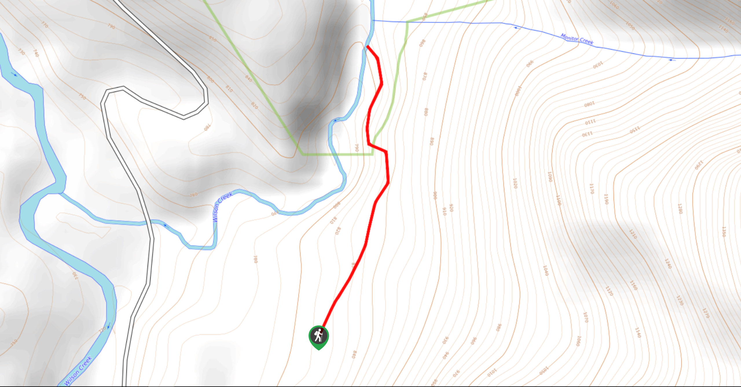
Wilson Creek Falls Trail
The Wilson Creek Falls Trail is a 1.8mi out-and-back route in Goat Range Provincial Park that travels along…
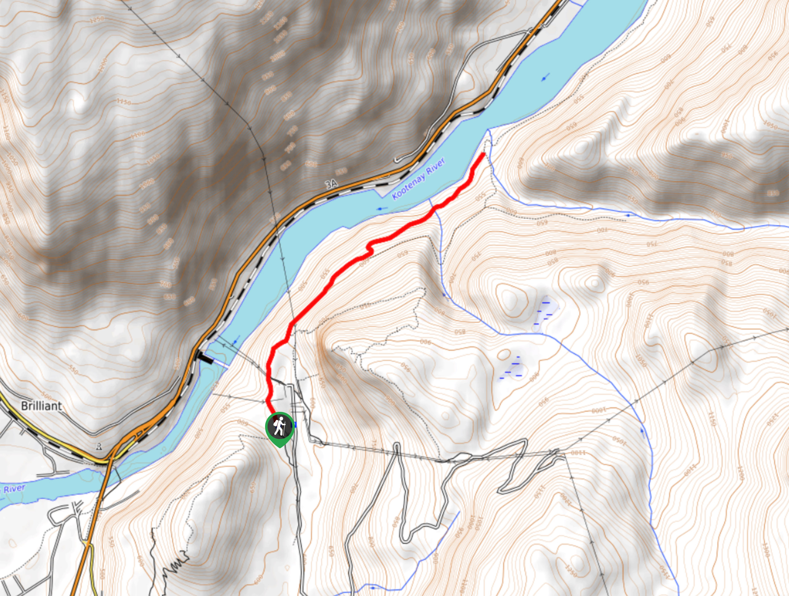
McPhee Waterfalls Hike
The McPhee Waterfalls Hike is a 3.5mi out-and-back hiking route near Castlegar, BC, that will take you along…
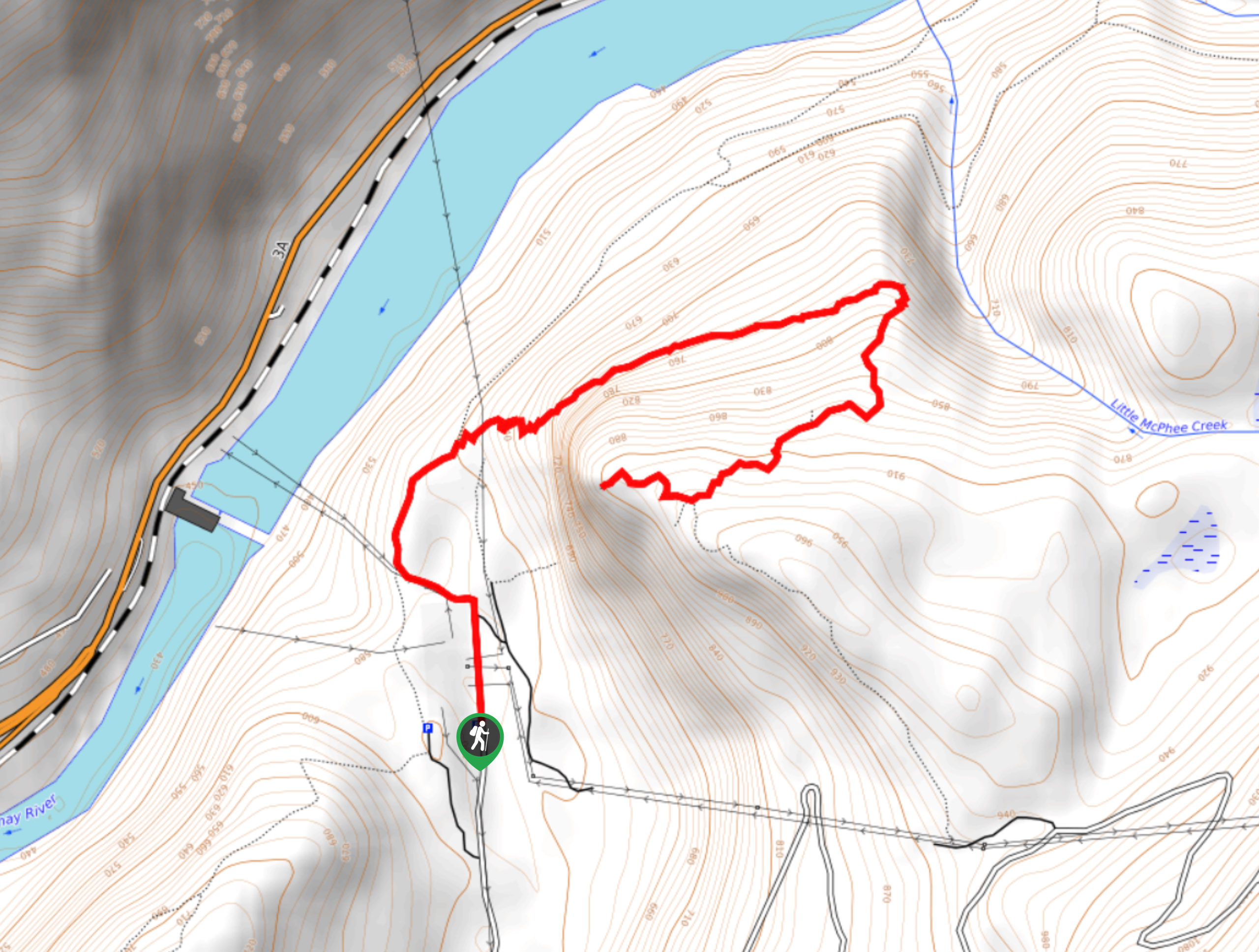
Brilliant Overlook Hike
The hike to Brilliant Overlook is a 3.7mi out-and-back trail in Castlegar, BC, that works through the forest…


Comments