

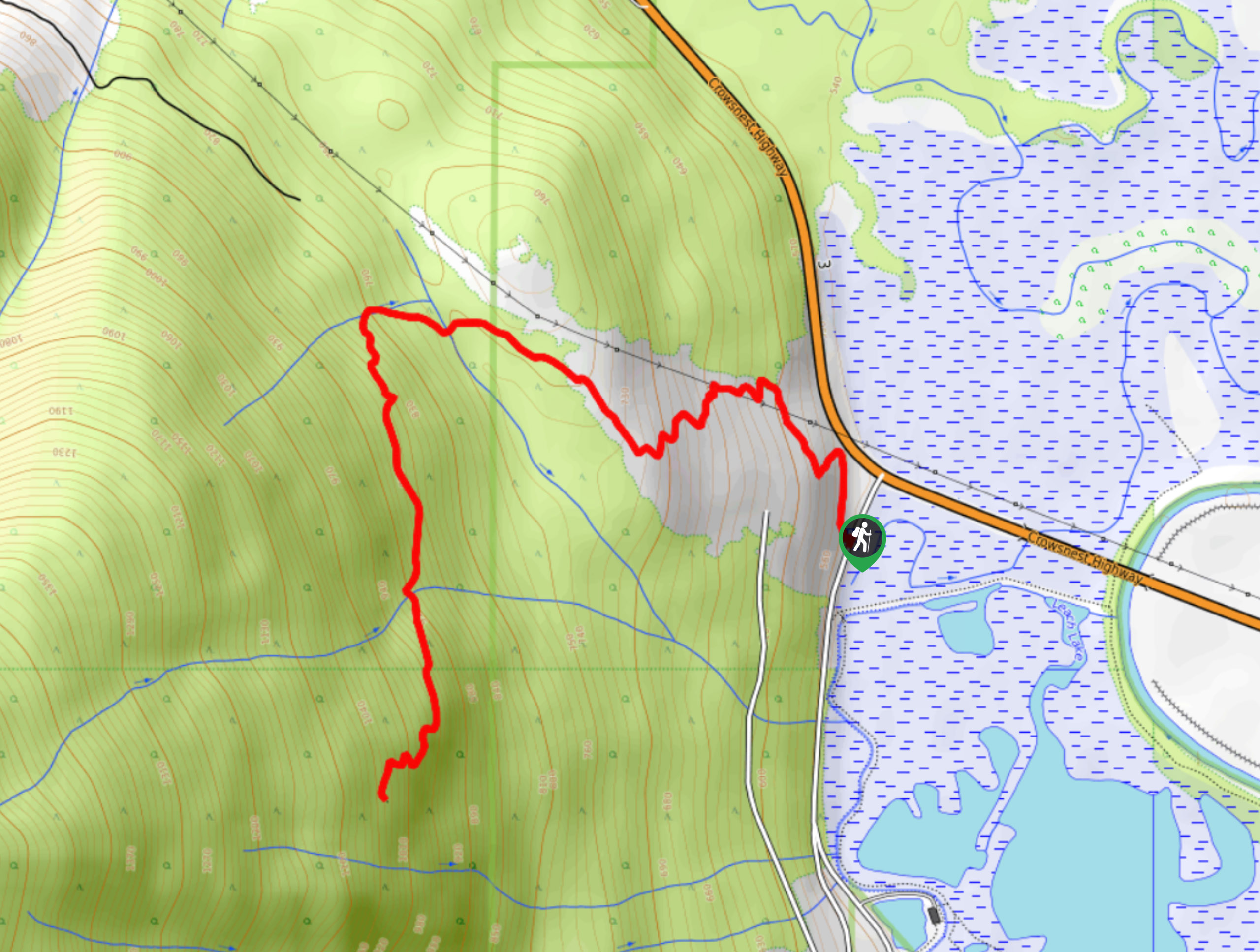
Mount Creston Trail
View PhotosMount Creston Trail
Difficulty Rating:
The Mount Creston Trail is a 4.8mi out-and-back hiking route near Creston, BC, that will take you to several scenic viewpoints that overlook the valley from Balancing Rock and the end of the trail. Along the route, hikers will work through a series of switchbacks to reach the first viewpoint before continuing through a lovely stretch of forest to reach the second. Make sure to bring bug repellent along for this hike, as warmer weather can see the trail heavily populated by mosquitoes.
Getting there
To get to the parking lot for the Mount Creston Trail from Creston, head north along BC-21 and turn left onto BC-3 W. Continue on for 3.7mi and make a left onto W Creston Road. In 93.2mi, you will find the parking area on the right.
About
| When to do | April-November |
| Backcountry Campsites | No |
| Pets allowed | Yes - On Leash |
| Family friendly | Yes |
| Route Signage | Average |
| Crowd Levels | Moderate |
| Route Type | Out and back |
Mount Creston Trail
Elevation Graph
Weather
Mount Creston Trail Description
With fairly easy terrain and amazingly scenic views overlooking the Creston Valley, the Mount Creston Trail is a great opportunity to get out for some exercise and take in the natural beauty of the surrounding landscape. The trail sets out from the parking area and climbs up the hillside through a series of switchbacks that are not overly steep and provide a pleasant view looking back across the valley. Reaching Balancing Rock, hikers can look out to the town of Creston across the flat expanse of the valley, with rugged mountain peaks in behind, such as that of Mount Thompson. Continuing along the trail, hikers will pass through the forest to arrive at the summit of Mount Creston, an even higher vantage point overlooking the valley. When you have had your fill of the amazing views that stretch out in all directions, head back down the trail to return to your vehicle.
Similar hikes to the Mount Creston Trail hike
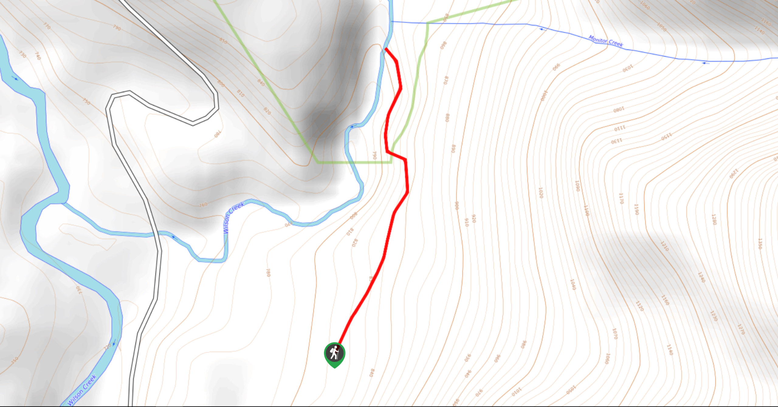
Wilson Creek Falls Trail
The Wilson Creek Falls Trail is a 1.8mi out-and-back route in Goat Range Provincial Park that travels along…
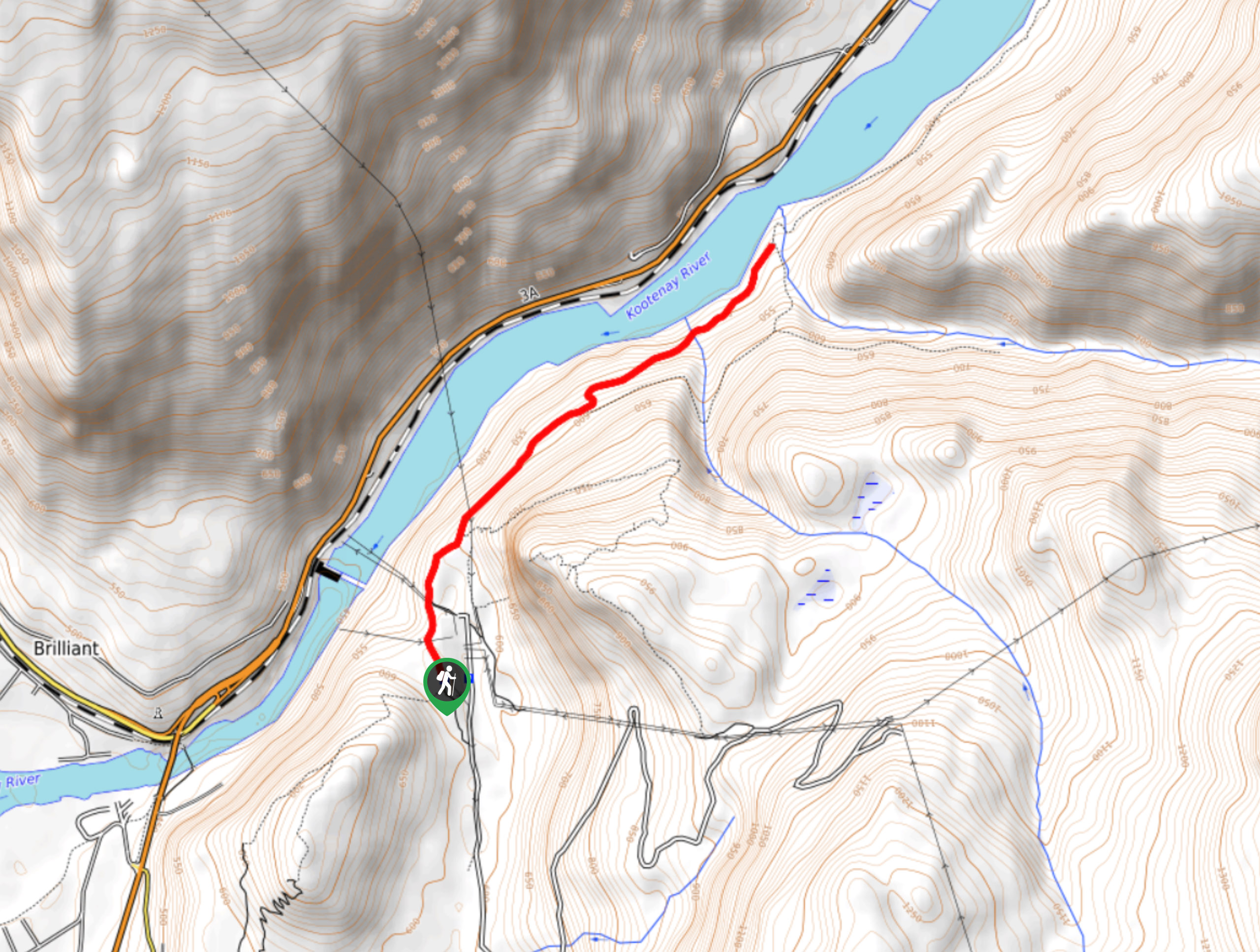
McPhee Waterfalls Hike
The McPhee Waterfalls Hike is a 3.5mi out-and-back hiking route near Castlegar, BC, that will take you along…
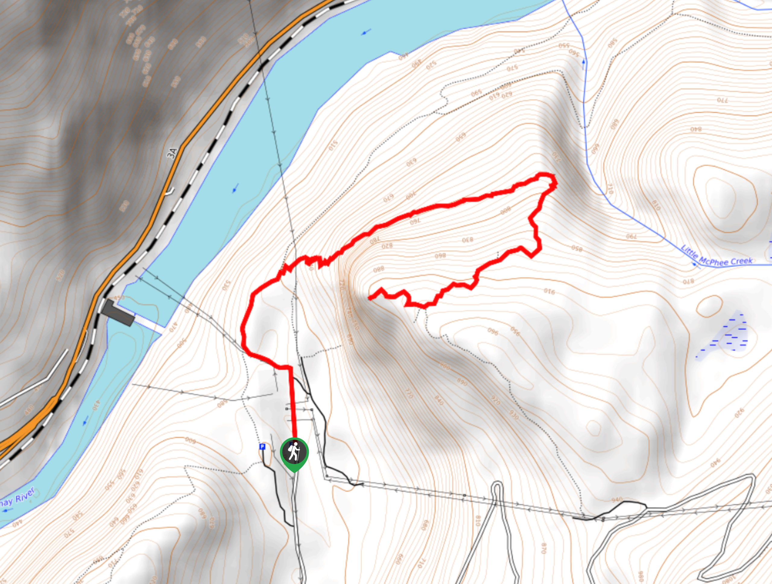
Brilliant Overlook Hike
The hike to Brilliant Overlook is a 3.7mi out-and-back trail in Castlegar, BC, that works through the forest…


Comments