

Balancing Rock Trail
View PhotosBalancing Rock Trail
Difficulty Rating:
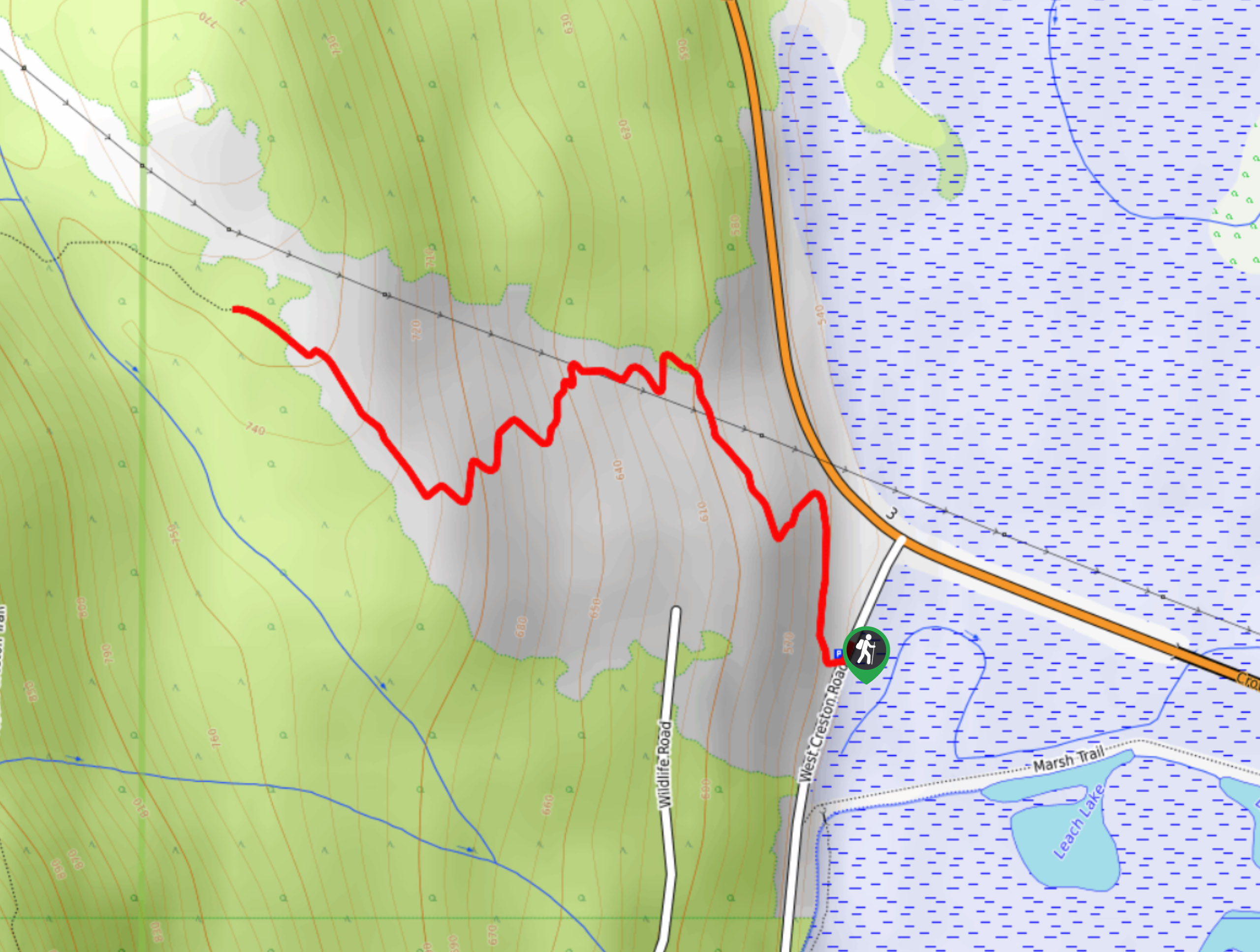
The Balancing Rock Trail is a quick 1.5mi out-and-back hiking route near Creston, BC, that will take you up to visit a scenic lookout point next to a giant boulder that is balanced atop the bedrock. The trail is mostly made up of switchbacks that climb up the hillside to the lookout, where you can enjoy a sweeping view across the Creston Valley. This trail can become fairly icy/slippery, so make sure to wear proper hiking footwear, especially in the shoulder seasons.
Getting there
To reach the parking area for the Balancing Rock Trail from Creston, drive north on BC-21 and make a slight left onto BC-3 W. Follow this for 4.3mi and turn left on W Creston Road. You will find the parking area on the right in 93.2mi.
About
| When to do | April-November |
| Backcountry Campsites | No |
| Pets allowed | Yes - On Leash |
| Family friendly | Older Children only |
| Route Signage | Average |
| Crowd Levels | Moderate |
| Route Type | Out and back |
Balancing Rock Trail
Elevation Graph
Weather
Balancing Rock Trail Description
The hike up to Balancing Rock is a pleasant climb up the hillside to reach an amazing lookout over the Creston Valley. When timed with the sunset, this trail offers the perfect opportunity to watch the warm glow of the sun blanket the entire valley and highlight the mountains directly across from the lookout. The trail itself follows a series of switchbacks that traverse a moderate incline until you reach the giant balancing boulder. From here, you can enjoy the beautiful views before heading back down the trail or following an optional route beyond the rock that traverses a boardwalk and is surrounded by beautiful forest scenery and populated with ferns. For the minimal effort required, this is an exceptional hike with equally exceptional views.
Similar hikes to the Balancing Rock Trail hike
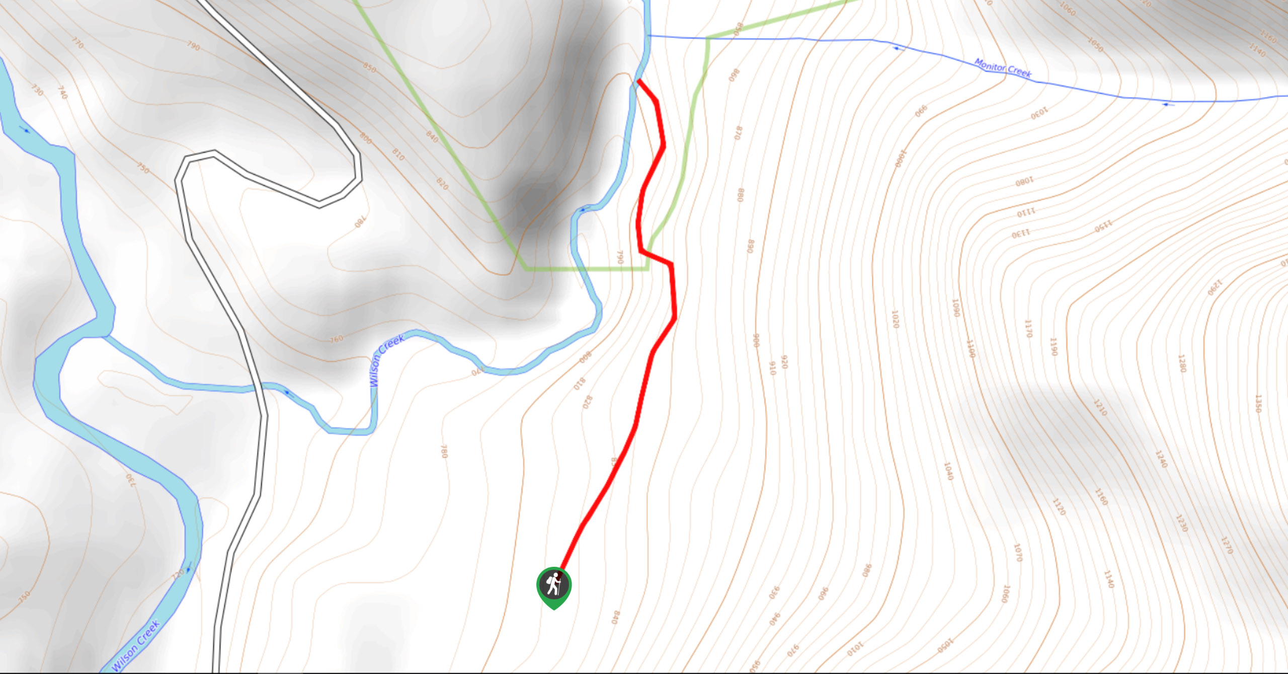
Wilson Creek Falls Trail
The Wilson Creek Falls Trail is a 1.8mi out-and-back route in Goat Range Provincial Park that travels along…
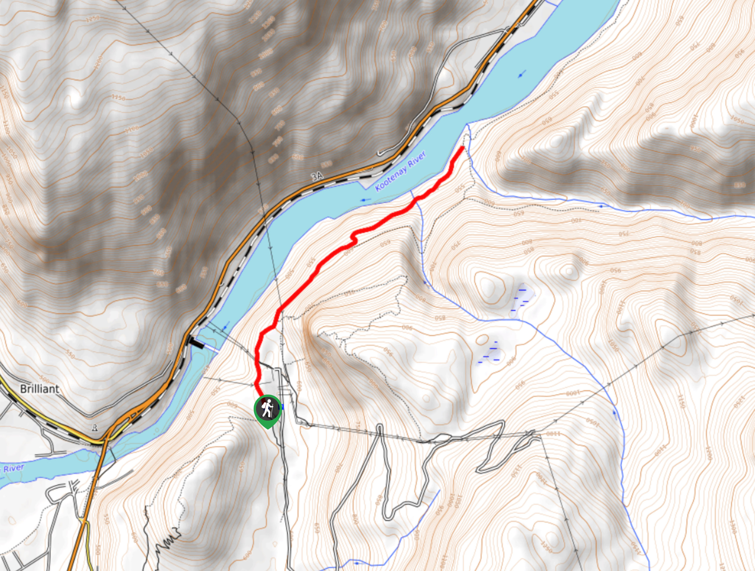
McPhee Waterfalls Hike
The McPhee Waterfalls Hike is a 3.5mi out-and-back hiking route near Castlegar, BC, that will take you along…
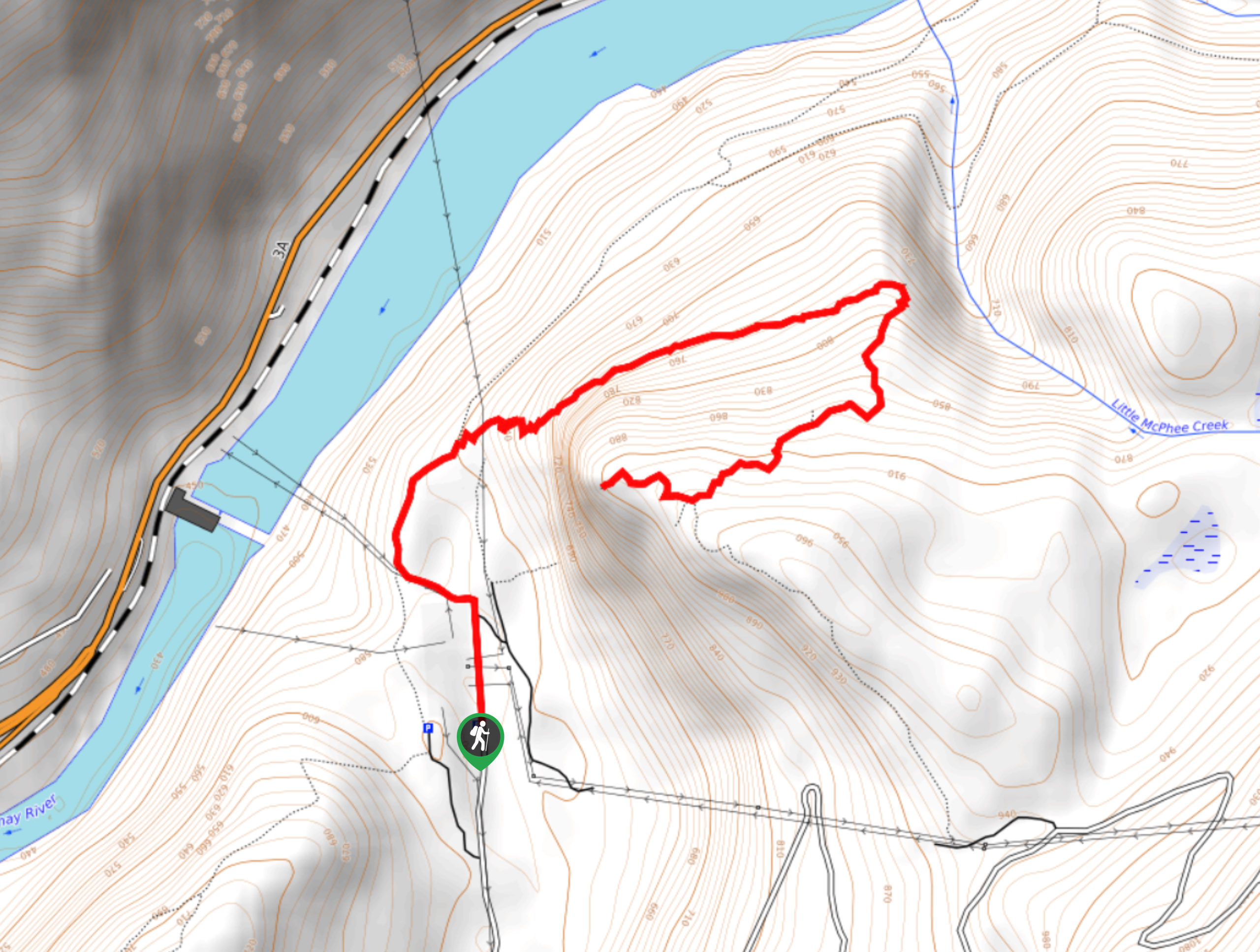
Brilliant Overlook Hike
The hike to Brilliant Overlook is a 3.7mi out-and-back trail in Castlegar, BC, that works through the forest…


Comments