

Thompson Rim Trail
View PhotosThompson Rim Trail
Difficulty Rating:
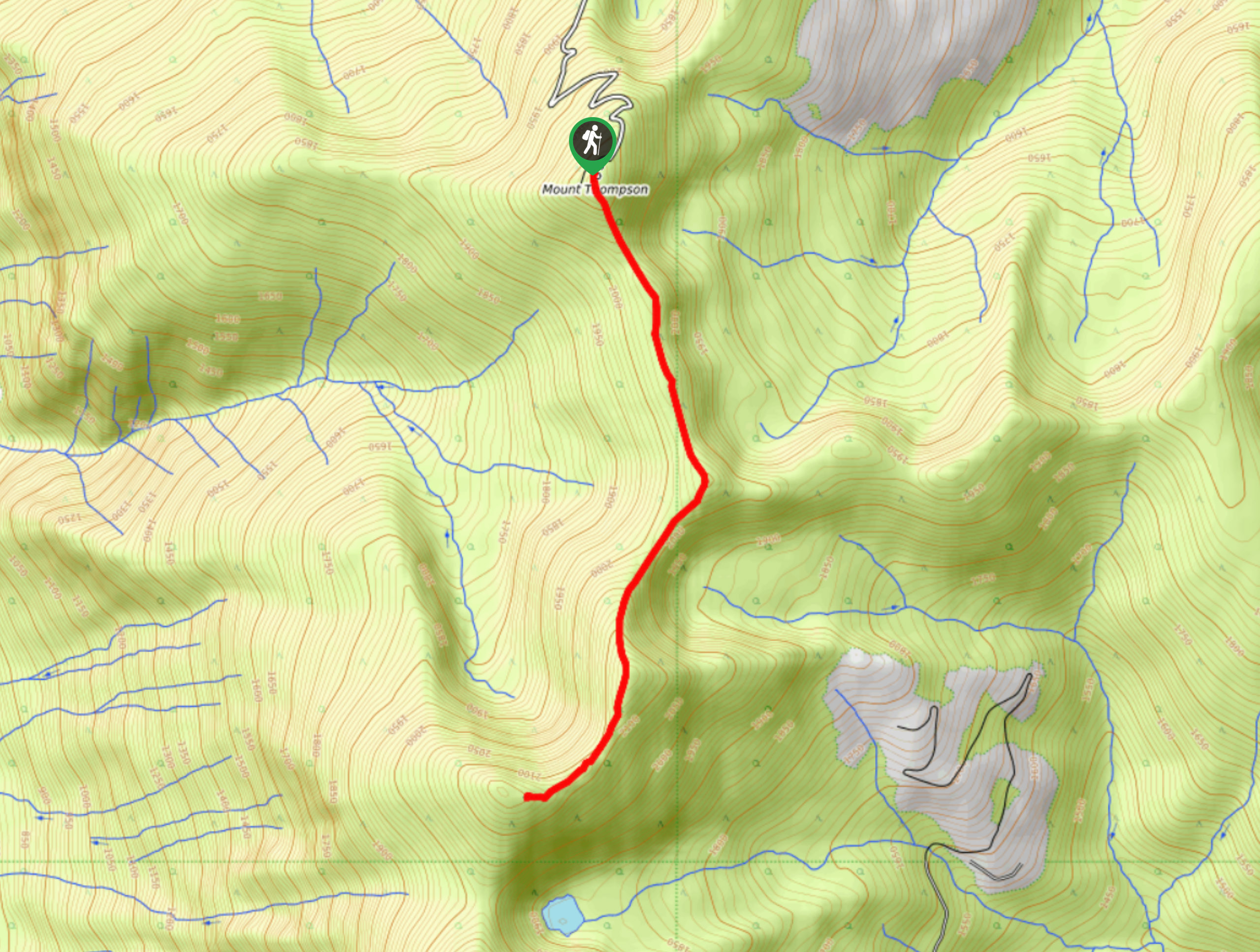
The Thompson Rim Trail is a 4.4mi out-and-back hiking route near Creston, BC, that will take you up a ridgeline to the summit of Mount Thompson for some scenic views over the Creston Valley and the neighbouring U.S. state of Idaho. Along the trail, you will experience a variety of terrain, including beautiful stretches of forest and exposed rocky sections on the way to the summit. Bring plenty of water, as there are few sources along the route.
Getting there
To reach the trailhead for the Thompson Rim Trail from Creston, head east on BC-3 and make a right turn onto Canyon-Lister Road. After 0.7mi, make a left on Whimster Road and follow it for 2493ft. Make another left onto Mount Thompson Lookout FSR and follow it for 6.5mi to reach the trailhead.
About
| When to do | May-October |
| Backcountry Campsites | No |
| Pets allowed | Yes - On Leash |
| Family friendly | Older Children only |
| Route Signage | Average |
| Crowd Levels | Low |
| Route Type | Out and back |
Thompson Rim Trail
Elevation Graph
Weather
Thompson Rim Trail Description
Hiking the Thompson Rim Trail is a great way to get out and explore the area around Creston and take in some amazing mountain and valley views that straddle the Canada-United States border. The trail sets out from the forest service road and initially climbs uphill through a beautiful stretch of forest that is populated with cedar and pine trees. After taking in the beauty of the forest atmosphere, the trail will break out of the tree cover along a more rocky stretch of trail on the way to the summit.
As you complete some light scrambling along the ridgeline, you will be exposed to some amazing views over the surrounding mountains. Reaching the summit of Mount Thompson, you will have a sweeping view that stretches across the Creston Valley to the west and down south across the border into Idaho. Once you have taken in the scenic views, head back down along the same trail to return to your vehicle at the trailhead.
Similar hikes to the Thompson Rim Trail hike

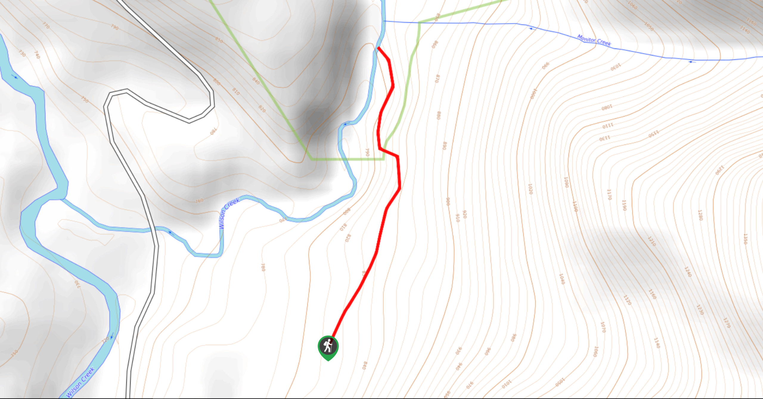
Wilson Creek Falls Trail
The Wilson Creek Falls Trail is a 1.8mi out-and-back route in Goat Range Provincial Park that travels along…

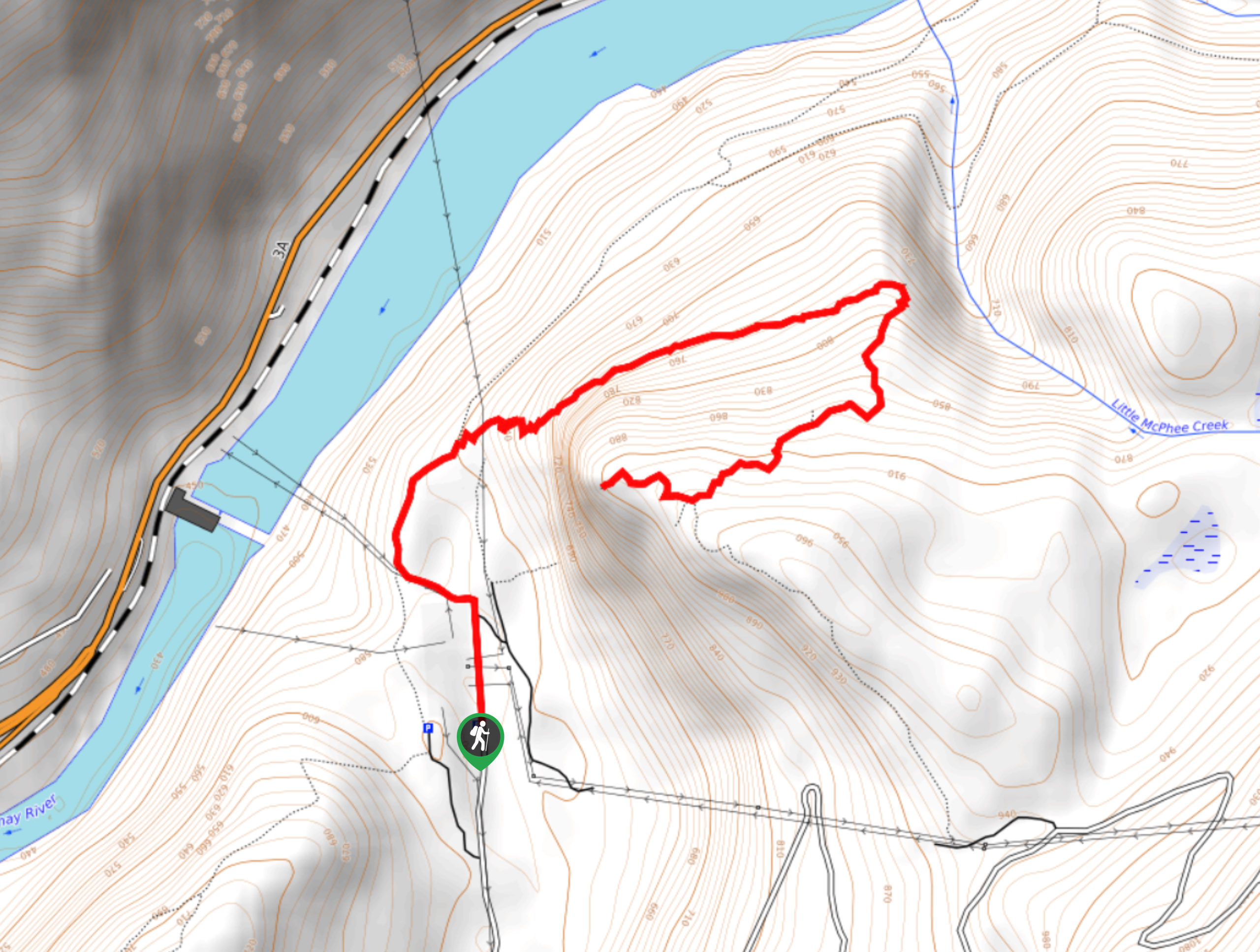
McPhee Waterfalls Hike
The McPhee Waterfalls Hike is a 3.5mi out-and-back hiking route near Castlegar, BC, that will take you along…

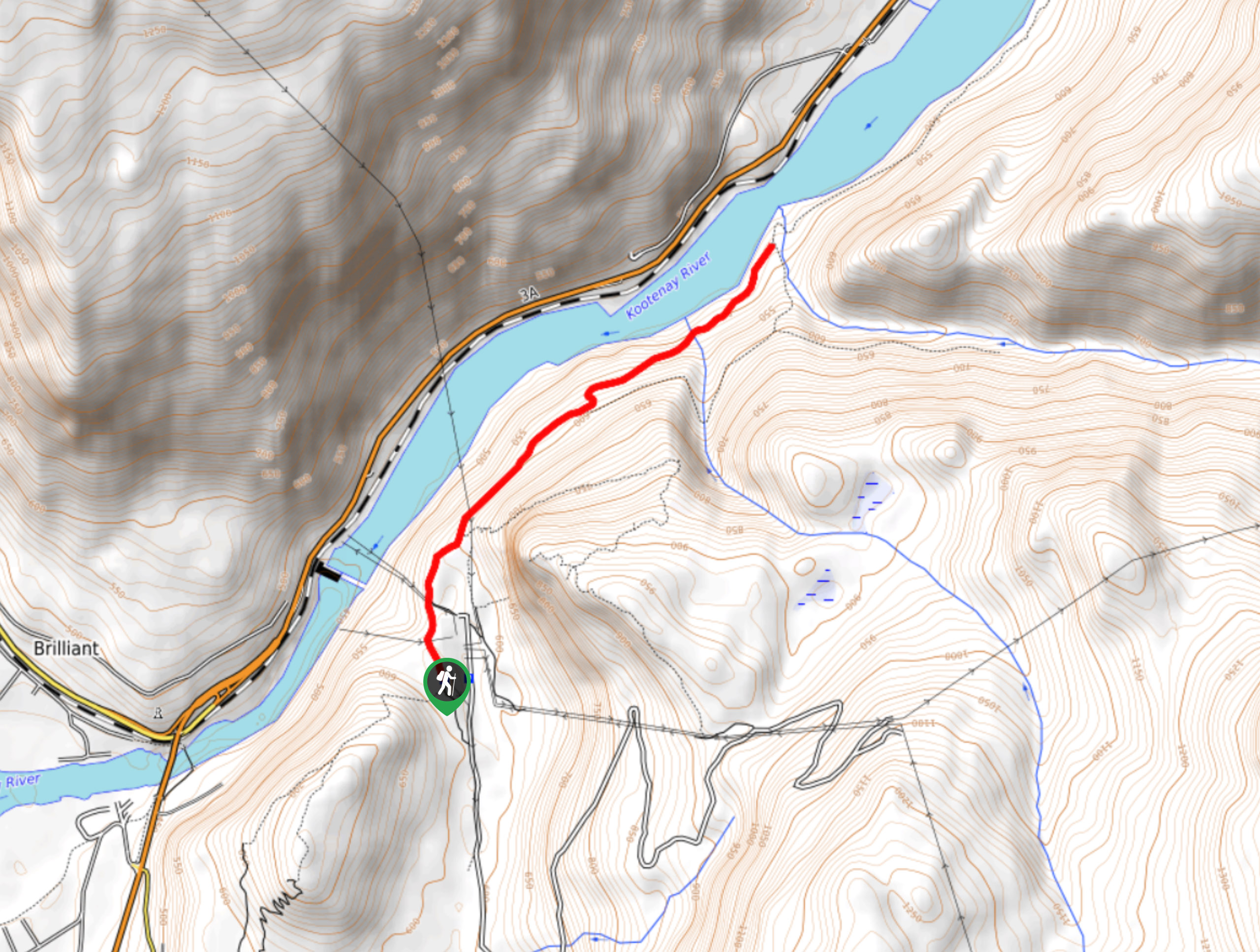
Brilliant Overlook Hike
The hike to Brilliant Overlook is a 3.7mi out-and-back trail in Castlegar, BC, that works through the forest…


Comments