

San Josef Bay
View PhotosSan Josef Bay
Difficulty Rating:
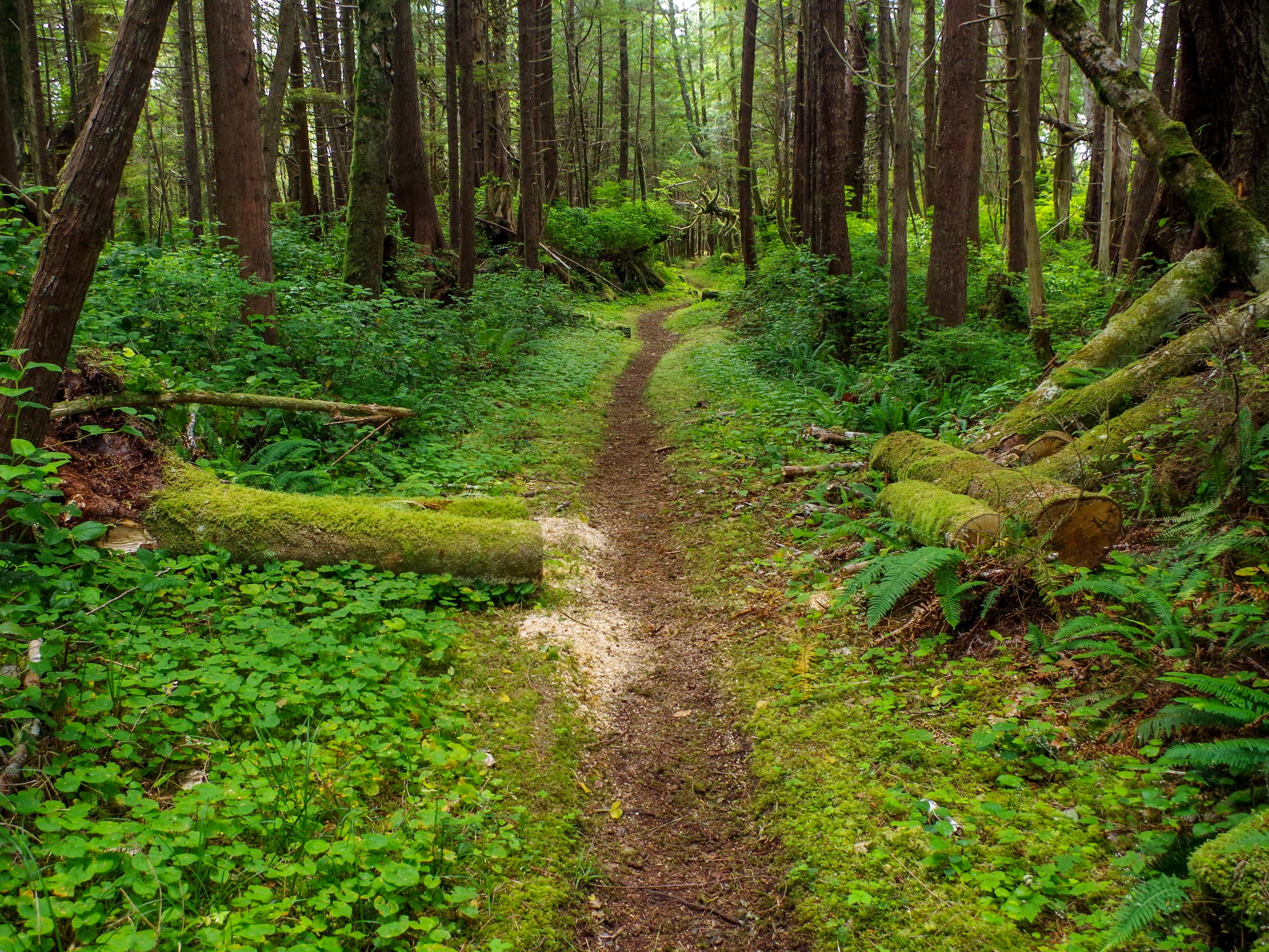
The San Josef Bay hike follows an 5.4mi out-and-back route through Cape Scott Provincial Park that takes you to two scenic beaches along the coast of San Josef Bay. Along the trail, hikers will traverse a variety of terrain types that include gravel pathways through the forest and white sandy beaches. Although the route has a small amount of elevation gain, it is spread throughout the trail, making it suitable for hikers of all ages and skill levels.
Getting there
To reach the San Josef Bay trailhead from Holberg, make your way west on NE 60 Road for 0.6mi and turn right onto San Josef Main. Follow this for 10.7mi and turn left onto Cape Scott Park Road. After 0.9mi, you will arrive at the parking area.
About
| When to do | Year-round |
| Backcountry Campsites | San Josef Bay Campsite |
| Pets allowed | Yes - On Leash |
| Family friendly | Yes |
| Route Signage | Average |
| Crowd Levels | Moderate |
| Route Type | Out and back |
San Josef Bay
Elevation Graph
Weather
San Josef Bay Trail Description
If you love picturesque beach scenery and easy to navigate forest trails, then the San Josef Bay hike is the perfect half-day option. This trail is the most popular route within Cape Scott Provincial Park, as it takes you to two scenic beaches with breathtaking views.
Setting out from the parking area, follow the trail to the west as it enters into the serene forest on a route towards the bay. Take some time to relax in the tranquil forest atmosphere, as you stroll along the gravel pathways that will eventually lead you down to the beach. Once there, you can explore the breathtaking coastal landscape along San Josef Bay, and if the tide is low enough you can make your way further west to the second, more secluded beach. After spending the day by the pristine water’s edge, make your way back along the same trail to return to the parking area.
Similar hikes to the San Josef Bay hike

Tod Mountain via Altitude Trail
Tod Mountain via Altitude Trail is a 6.0mi lollipop hiking route at the Sun Peaks Mountain Resort that…

Merry Widow Ridge
The Merry Widow Ridge Trail is a 4.3mi out-and-back hiking route on the northern end of Vancouver Island…

Woss Lookout
The hike up to Woss Lookout is one of the best value hikes that you can find in northern Vancouver…


Comments