

Marble River Trail
View PhotosMarble River Trail
Difficulty Rating:
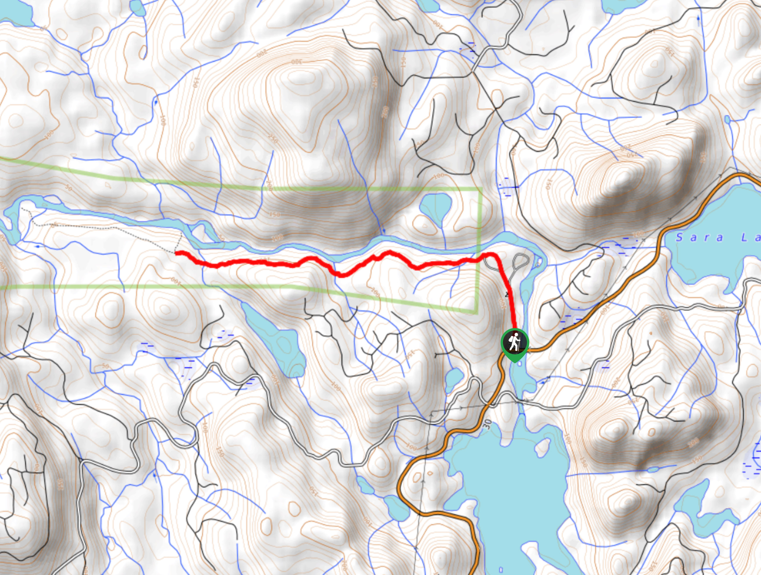
The Marble River Trail is a 4.0mi out-and-back hiking route within Marble River Provincial Park that showcases the stunning beauty of Vancouver Island’s forest landscape. Along the trail, hikers will follow closely alongside the rushing waters of the Marble River as they stroll through breathtaking second-growth forests that are the result of natural weather disturbances in the area. The well-spaced trees create an open yet vibrant atmosphere that is packed with natural beauty and is sure to make for a pleasant hiking experience.
Getting there
To reach the parking area for the Marble River Trail from Port McNeill, head southeast along Campbell Way for 1.6mi and turn right onto BC-19. Follow this for 12.1mi and turn left onto Port Alice Road. Continue on for 8.9mi and turn right to enter the parking area.
About
| When to do | May-November |
| Backcountry Campsites | Marble River Recreation Site |
| Pets allowed | Yes - On Leash |
| Family friendly | Yes |
| Crowd Levels | Moderate |
| Route Type | Out and back |
Marble River Trail
Elevation Graph
Weather
Marble River Trail Description
With such a breathtaking forest setting, it’s hard to believe that the tall, gorgeous trees along the Marble River Trail are part of a second-growth forest that was planted to rehabilitate the area in the wake of destructive natural forces. In any case, they make the perfect backdrop for a fun day of hiking the wilderness of Vancouver Island.
Setting out from the trailhead at the campground, follow the trail north through the forest as it runs closely alongside the rushing waters of the Marble River. After a short distance, the trail will turn west with the river and cross several small streams. As you meander amongst the tall trees, you will have some nice views of the river’s edge as it cuts through the dense forests of the park. Once you have reached the end of the trail, take some time to explore the area and have a quick snack before heading back along the same route to return to the parking area.
Similar hikes to the Marble River Trail hike

Tod Mountain via Altitude Trail
Tod Mountain via Altitude Trail is a 6.0mi lollipop hiking route at the Sun Peaks Mountain Resort that…

Merry Widow Ridge
The Merry Widow Ridge Trail is a 4.3mi out-and-back hiking route on the northern end of Vancouver Island…

Woss Lookout
The hike up to Woss Lookout is one of the best value hikes that you can find in northern Vancouver…


Comments