

Upana Caves Trail
View PhotosUpana Caves Trail
Difficulty Rating:
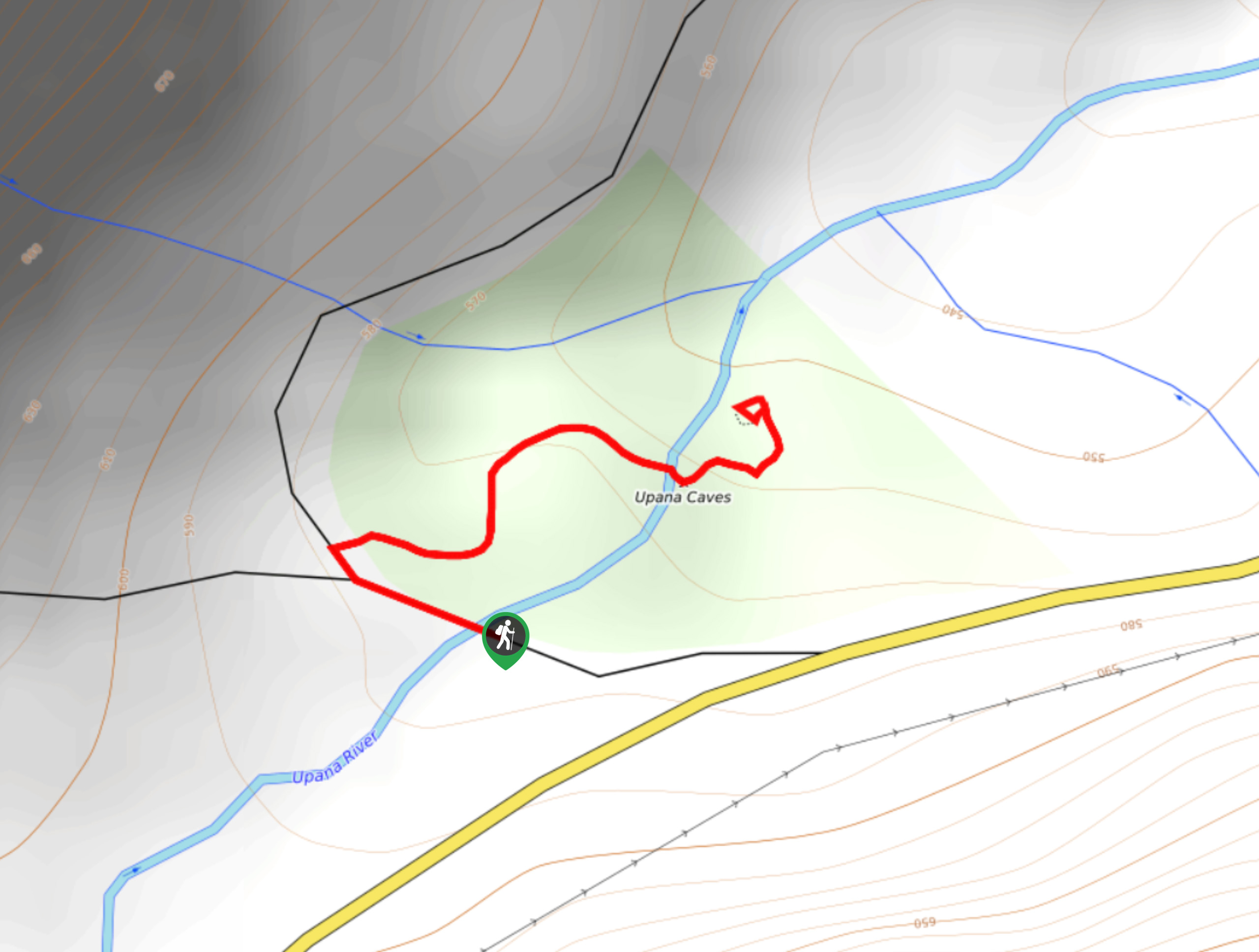
The Upana Caves Trail is a quick 0.4mi lollipop hiking route west of Gold River, BC that will take you through a forest to a series of underground caves. While out on the trail, hikers will experience a peaceful forest setting along the flowing waters of the Upana River before descending a series of stairs to enter into the subterranean atmosphere of the caves. Remember to bring decent hiking footwear and a flashlight in order to get the most out of your adventure in the cool cave environment. Those with claustrophobia may prefer to skip this hike.
Getting there
To reach the trailhead for the Upana Caves Trail from Gold River, head west on Gold River for 1.7mi and turn left onto Head Bay Road. After 9.3mi, turn right to arrive at the parking area.
About
| When to do | Year-round |
| Backcountry Campsites | No |
| Pets allowed | Yes - On Leash |
| Family friendly | Yes |
| Route Signage | Average |
| Crowd Levels | Moderate |
| Route Type | Lollipop |
Upana Caves Trail
Elevation Graph
Weather
Upana Caves Trail Description
While the Upana Caves Trail is a short, family-friendly hike, there are a few safety concerns to keep in mind when planning a trip to the caves. Due to the weathered nature of the rock, moist atmosphere, and the short descent into the caves, it is recommended that you wear proper hiking footwear for the best possible footing while exploring the caverns. Additionally, remember to keep an eye on children, especially if you are visiting in the spring/autumn seasons when the water levels will be higher.
Even with these concerns in mind, a visit to the Upana Caves Trail is a fun adventure that will allow you to experience the natural beauty of the karst caves that can be found dotted across the Vancouver Island landscape. The trail sets out from the parking area and heads north along a route that winds through the tranquil old-growth forest on the way to the caves. After passing by some steep karst cliffs, the trail will turn east and cross a land bridge over the Upana River that is supported by the caves beneath. There are several entrances and viewpoints, so take some time to explore the area and get a feel for the immense amount of weathering that has taken place over time in order to create this unique landscape. After exploring the caves, head back along the same route to return to the trailhead.
Similar hikes to the Upana Caves Trail hike

Tod Mountain via Altitude Trail
Tod Mountain via Altitude Trail is a 6.0mi lollipop hiking route at the Sun Peaks Mountain Resort that…

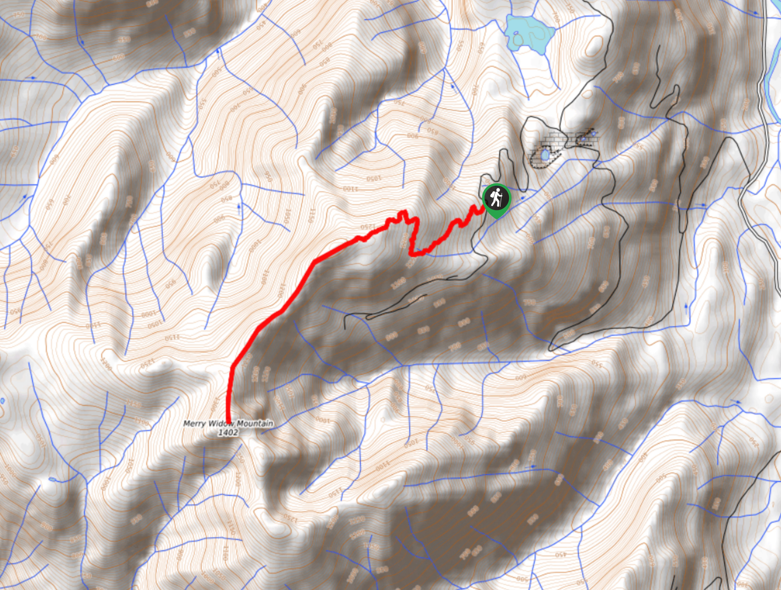
Merry Widow Ridge
The Merry Widow Ridge Trail is a 4.3mi out-and-back hiking route on the northern end of Vancouver Island…

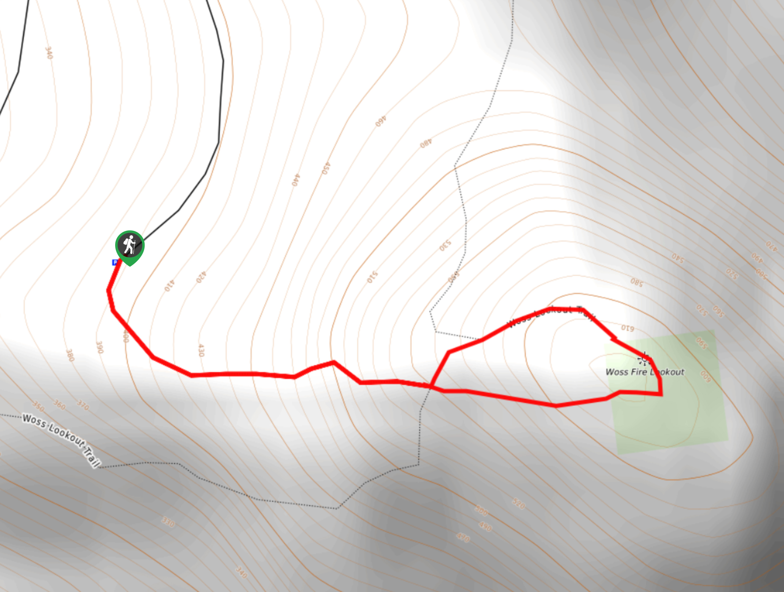
Woss Lookout
The hike up to Woss Lookout is one of the best value hikes that you can find in northern Vancouver…


Comments