

Dakota 576 Crash Site Trail
View PhotosDakota 576 Crash Site Trail
Difficulty Rating:
The Dakota 576 Crash Site Trail is a slightly overgrown but fun hiking route that will take you from Bear Cove to a memorial site for a 1944 RCAF plane crash. Along the trail, hikers will experience a variety of terrain types that include gravel pathways and muddy trails with fixed rope sections to help you traverse the unmaintained upper portion of the route. This trail is a bit rugged but not overly difficult, making it suitable for casual hikers or those with an interest in visiting historical sites.
Getting there
To reach the parking area for the Dakota 576 Crash Site Trail from Port Hardy, head south on BC-19 for 2.6mi and turn left to stay on the highway, following the signs for the fairies. After 2.7mi, turn left to enter the parking area.
About
| When to do | Year-round |
| Backcountry Campsites | No |
| Pets allowed | Yes |
| Family friendly | Older Children only |
| Route Signage | Average |
| Crowd Levels | Moderate |
| Route Type | Out and back |
Dakota 576 Crash Site Trail
Elevation Graph
Weather
Dakota 576 Crash Site Trail Description
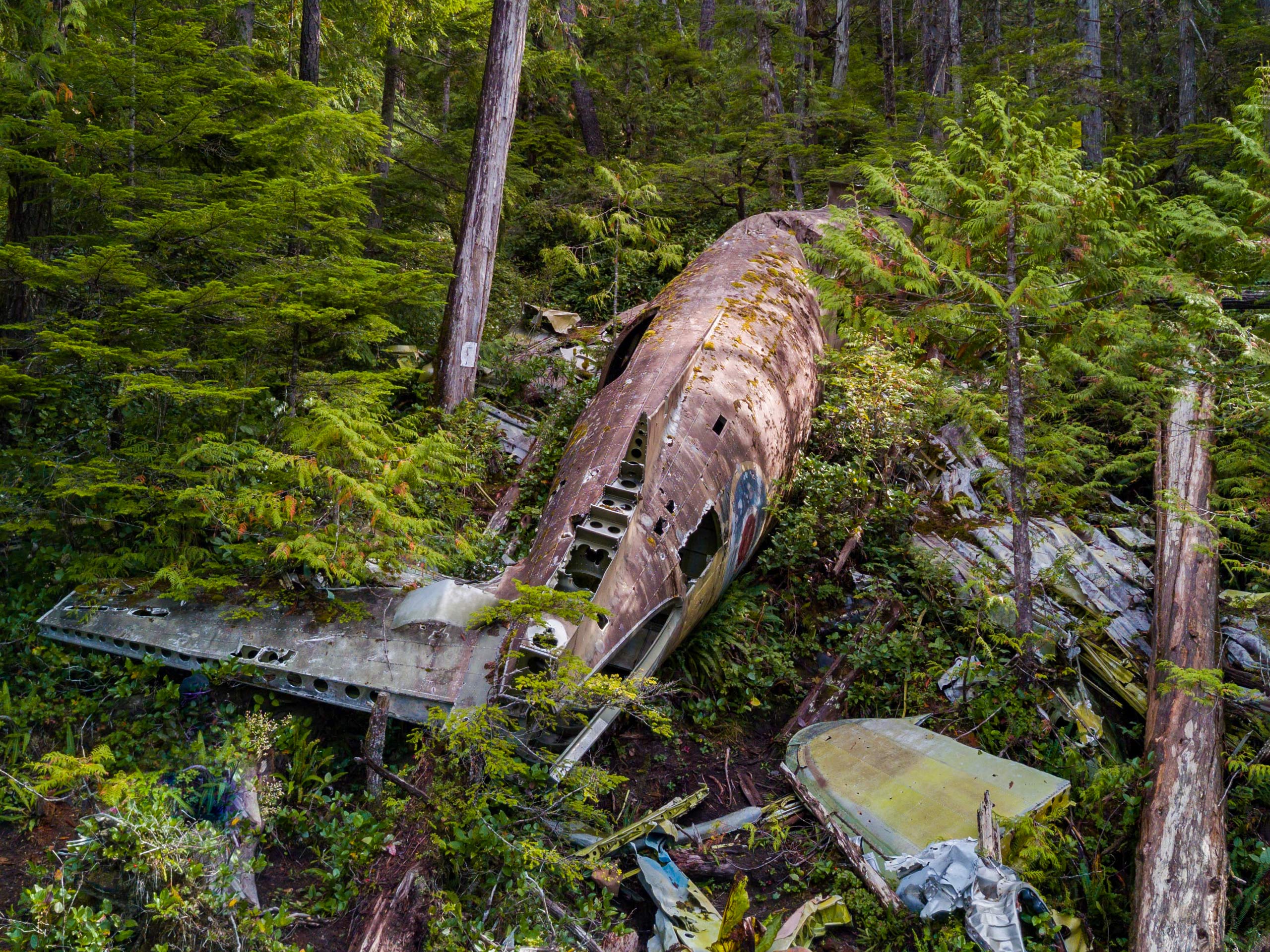
Hiking the Dakota 576 Crash Site Trail is a fantastic outdoor experience that will introduce you to the natural beauty of north Vancouver Island and provide you with a bit of history in the process. The trail climbs uphill through the forest to the site of a fatal 1944 plane crash that occurred when a RCAF Dakota 576 was running a navigation exercise and ran out of fuel. Two of the plane’s crew died in the accident and one survived, with the monument along the trail standing as a memorial to their passing. Although it reminds visitors of a tragic event, this hike is a great adventure that can be enjoyed by both experienced and casual hikers alike.
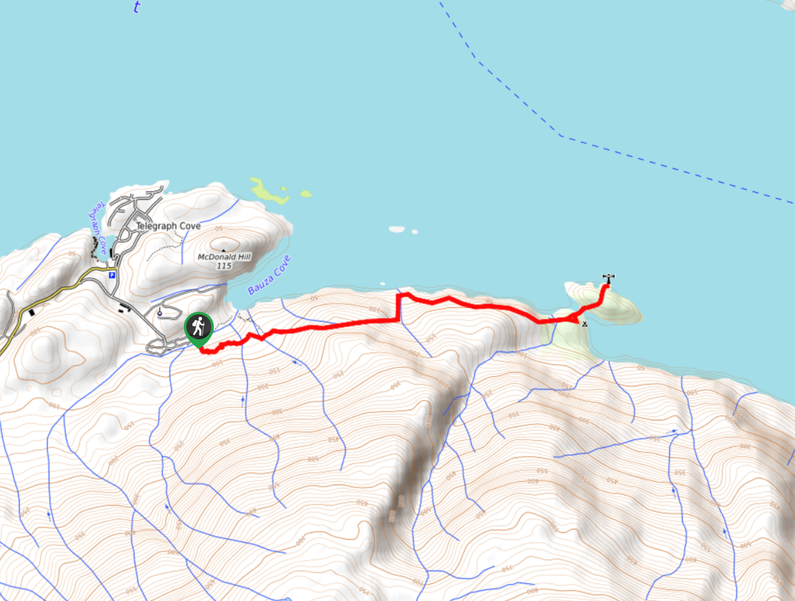
Due to the rough and rugged nature of the trail and the volumes of mud that can usually be found along it, it is recommended that hikers wear proper hiking footwear to both stay comfortable on the trail and get the best traction. Setting out from the parking area, walk north along the road for roughly 328ft and turn right onto the paved road. Follow the road uphill to the point where the road turns right and the trail to the left. Follow the gravel path to the left and continue climbing uphill for nice views overlooking Hardy Bay. When you reach the top of the trail, take some time to view the wreckage of the Dakota 576 crash site and explore the area, before heading back along the same route to return to the trailhead.
Similar hikes to the Dakota 576 Crash Site Trail hike

Tod Mountain via Altitude Trail
Tod Mountain via Altitude Trail is a 6.0mi lollipop hiking route at the Sun Peaks Mountain Resort that…

Merry Widow Ridge
The Merry Widow Ridge Trail is a 4.3mi out-and-back hiking route on the northern end of Vancouver Island…

Dave Farrant Trail to Blinkhorn Point
The Dave Farrant Trail to Blinkhorn Point is a 47.8mi out-and-back hiking route that follows closely along the…


Comments