

Raft Cove Trail
View PhotosRaft Cove Trail
Difficulty Rating:
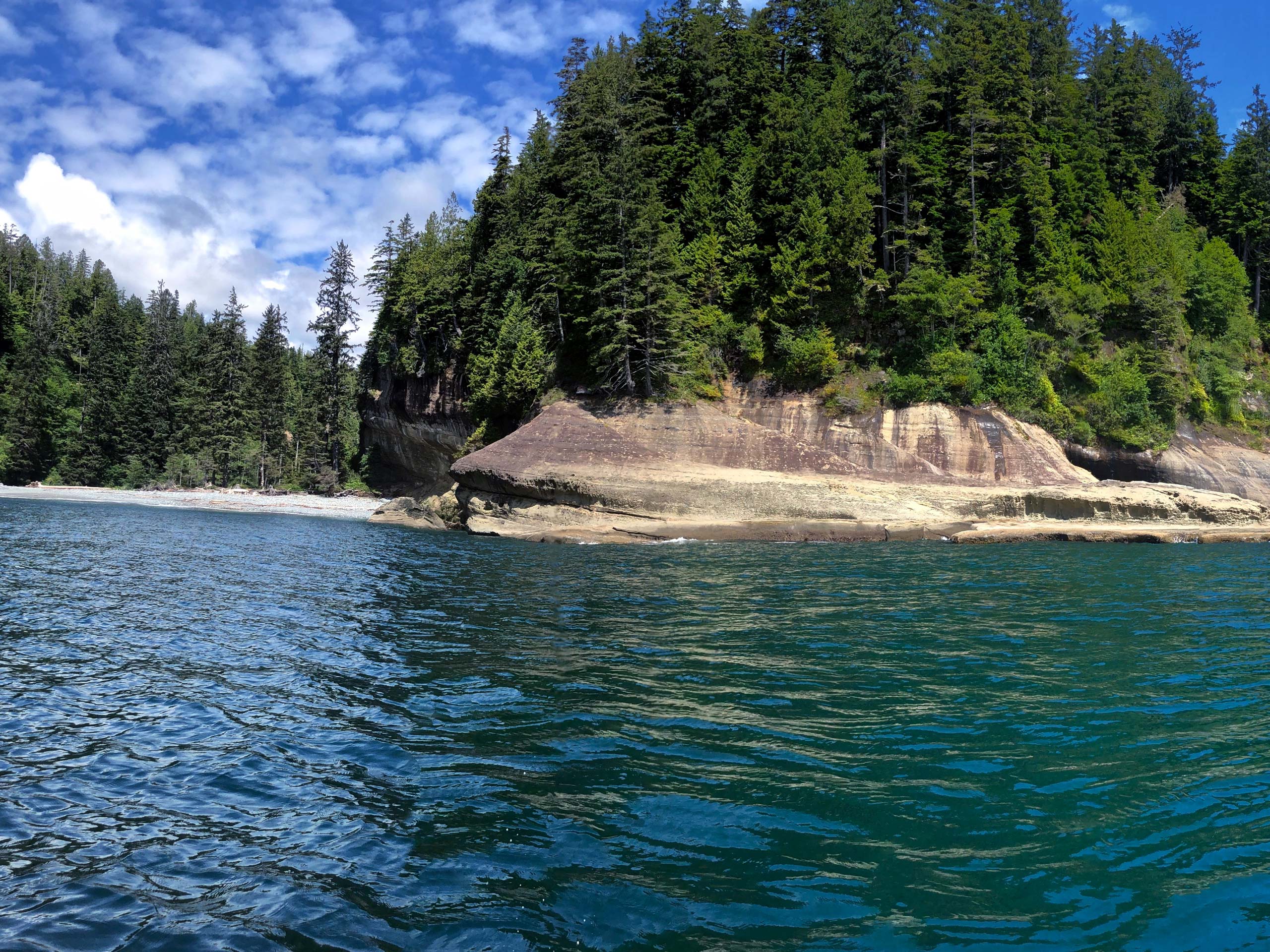
The Raft Cove Trail is a 2.2mi out-and-back hiking route in Raft Cove Provincial Park that will take you through a thick stretch of temperate rainforest to arrive at a scenic West Coast beach. Along the trail, hikers will experience some tough terrain that includes rocky and muddy trails, but also picturesque scenery along the coast. If you want to spend a few days in the area, make use of the tent pads down the beach towards the Mackjack River for a fun weekend of camping along the coast.
Getting there
To reach the parking area for the Raft Cove Trail from Holberg, head west on NE 60 Road for 0.6mi and turn right onto San Josef Main Road. Continue on for 7.3mi and turn left onto Palmerston Main. After 7.0mi, you will find the trailhead on the left.
About
| When to do | Year-round |
| Backcountry Campsites | Tent pads near Mackjack River |
| Pets allowed | Yes |
| Family friendly | Older Children only |
| Route Signage | Average |
| Crowd Levels | Low |
| Route Type | Out and back |
Raft Cove Trail
Elevation Graph
Weather
Raft Cove Trail Description
While the route is a bit rough and rugged, the Raft Cove Trail is an exceptional hike along the West Coast of Vancouver Island that will reveal some breathtaking scenery and the chance to camp out overnight along the beach. As stretches of the trail are covered in rock and mud, it is best to wear proper hiking footwear in order to have the best traction along the technical route. Additionally, this route is dog friendly, but keep in mind that wolves are frequently seen in the area. Make sure to either keep your dogs on leash or within close distance.
Setting out from the parking area, follow the trail to the southwest as it enters into the thick cover of the rainforest on a route towards the coast. Carefully make your way along the rocky trail and do your best to avoid getting covered in mud, which is easier said than done while out hiking on the West Coast. Eventually, you will break out from under the forest canopy and arrive at the welcome sight of the wide sandy beach. Take some time to explore the pristine landscape and gaze out across the vast blue expanse of the Pacific Ocean. If you make your way along the beach to your right, you can find a neat cave that is the result of countless years of weathering in the harsh coastal environment, and to the left you can walk along the sandy beach where you will find the camping area next to the mouth of the Mackjack River. After exploring the area, head back along the Raft Cove Trail to return to the parking area where you began your hike.
Similar hikes to the Raft Cove Trail hike

Tod Mountain via Altitude Trail
Tod Mountain via Altitude Trail is a 6.0mi lollipop hiking route at the Sun Peaks Mountain Resort that…

Merry Widow Ridge
The Merry Widow Ridge Trail is a 4.3mi out-and-back hiking route on the northern end of Vancouver Island…

Dave Farrant Trail to Blinkhorn Point
The Dave Farrant Trail to Blinkhorn Point is a 47.8mi out-and-back hiking route that follows closely along the…


Comments