

Lungbuster Trail to Cypress Lake
View PhotosLungbuster Trail to Cypress Lake
Difficulty Rating:
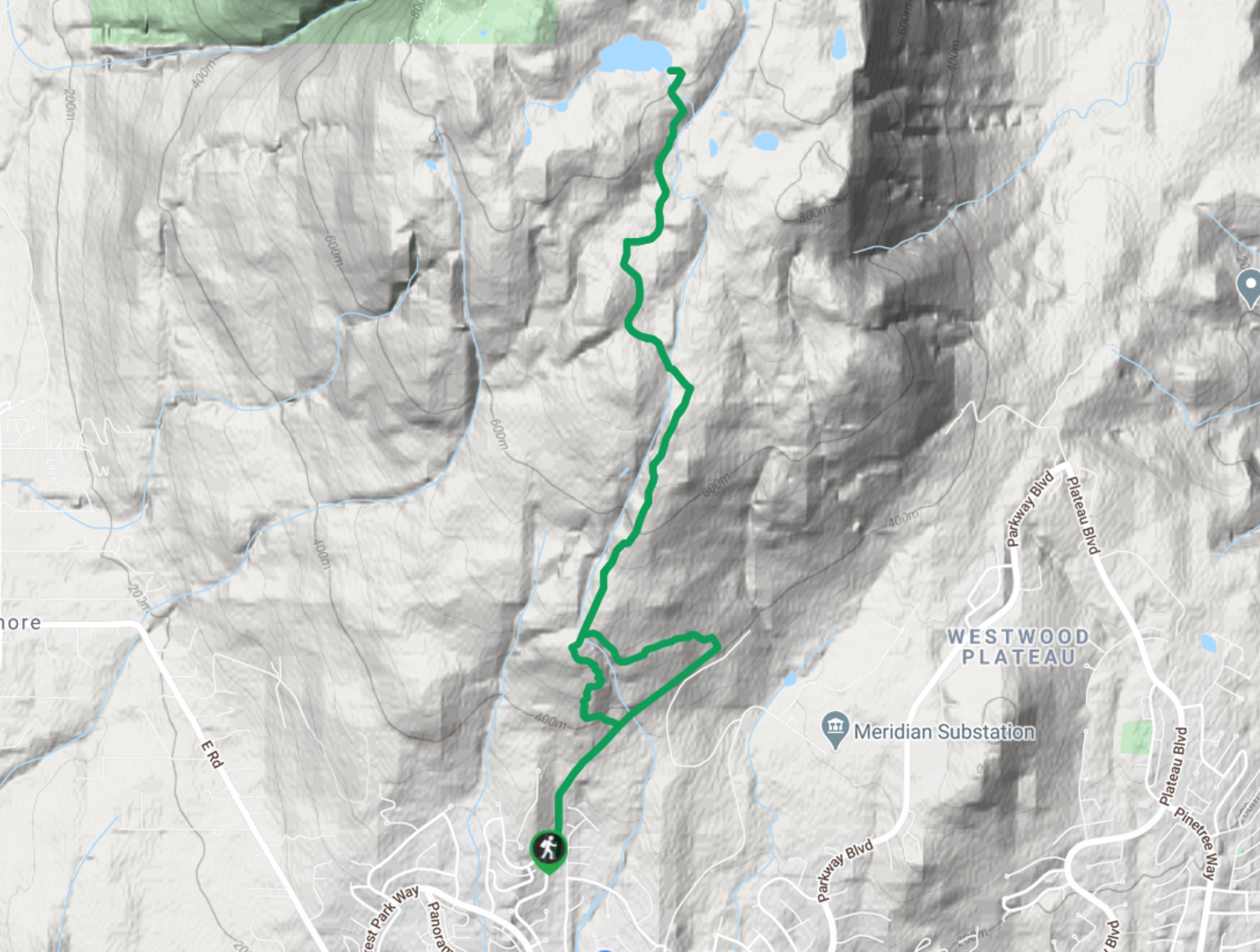
The Lungbuster Trail is a challenging 5.1mi out-and-back hiking route near Coquitlam, BC, that follows along an extremely rocky and technical trail. Following along the forested path, this route crosses over several creeks and eventually takes you to the tranquil shores of Cypress Lake. This trail doesn’t have many scenic views, but it is a great workout that will leave your legs aching the next day.
Getting there
To reach the parking area for the Lungbuster Trail from Coquitlam, drive north on Pinetree Way N for 1.7miand turn right onto Plateau Boulevard. Keep on for 0.6mi and you will reach the parking area for the trailhead.
About
| When to do | March-November |
| Backcountry Campsites | No |
| Pets allowed | Yes |
| Family friendly | Older Children only |
| Route Signage | Average |
| Crowd Levels | Low |
| Route Type | Out and back |
Lungbuster Trail to Cypress Lake
Elevation Graph
Weather
Lungbuster Trail to Cypress Lake Description
The Lungbuster Trail to Cypress Lake is a lightly-trafficked route just north of Coquitlam that offers easy access to an entire network of trails in the area. This particular route makes its way toward Cypress Lake, which offers a beautiful mirror image of the wooded landscape that reflects off of its tranquil waters.
This is an awesome day hike if you are looking for a route that will leave you exhausted. Its rocky and technical trail is something to take note of, so remember to bring proper hiking footwear to traverse the trail safely. Additionally, it’s best to bring a GPS or familiarize yourself with a good trail map, as there are many side trails that branch off from this one.
Similar hikes to the Lungbuster Trail to Cypress Lake hike

Trans Canada and Pandora Trail Loop
The Trans Canada and Pandora Trail Loop is a combination of several trails within the Burnaby Mountain Conservation Area that…

Quarry Trail
The Quarry Trail is a scenic hike through the beautiful wetlands of Minnekhada Regional Park that takes hikers to several…

DeBoville Slough to Addington Lookout
The hike along DeBoville Slough to Addington Marsh is an easy 6.0mi out-and-back trail along a paved path…


Comments