Katzie Marsh Loop
View Photos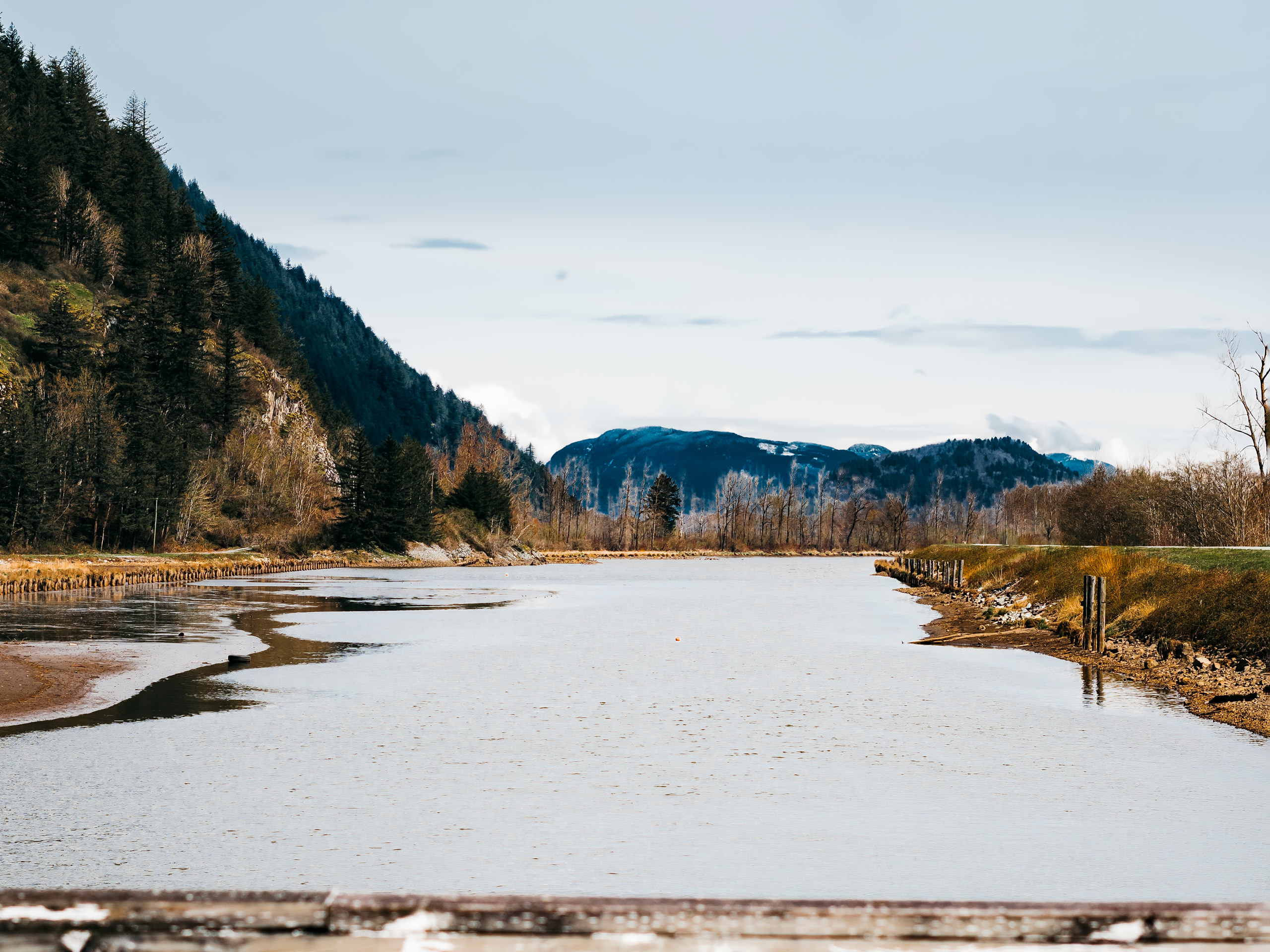
Katzie Marsh Loop
Difficulty Rating:
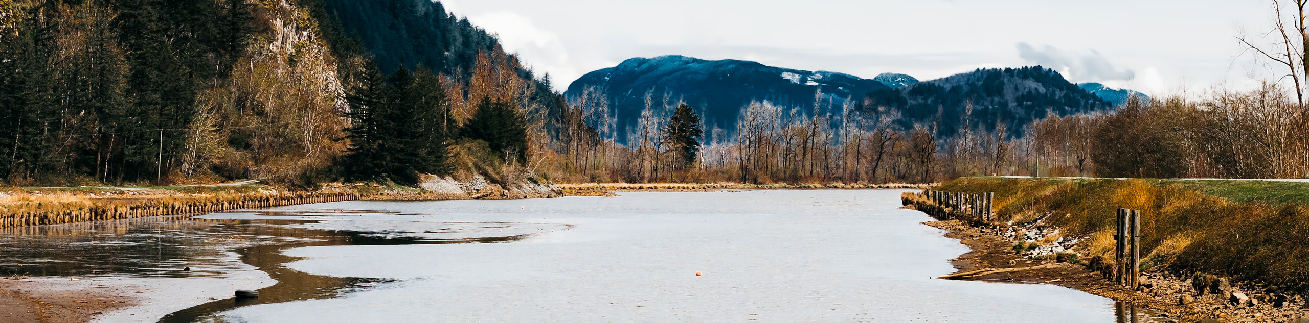
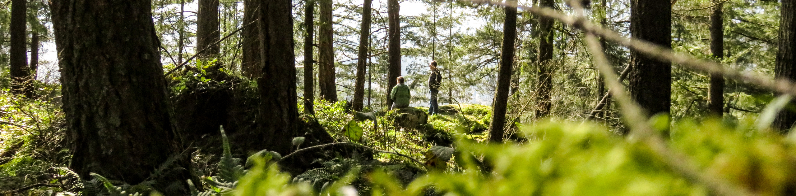
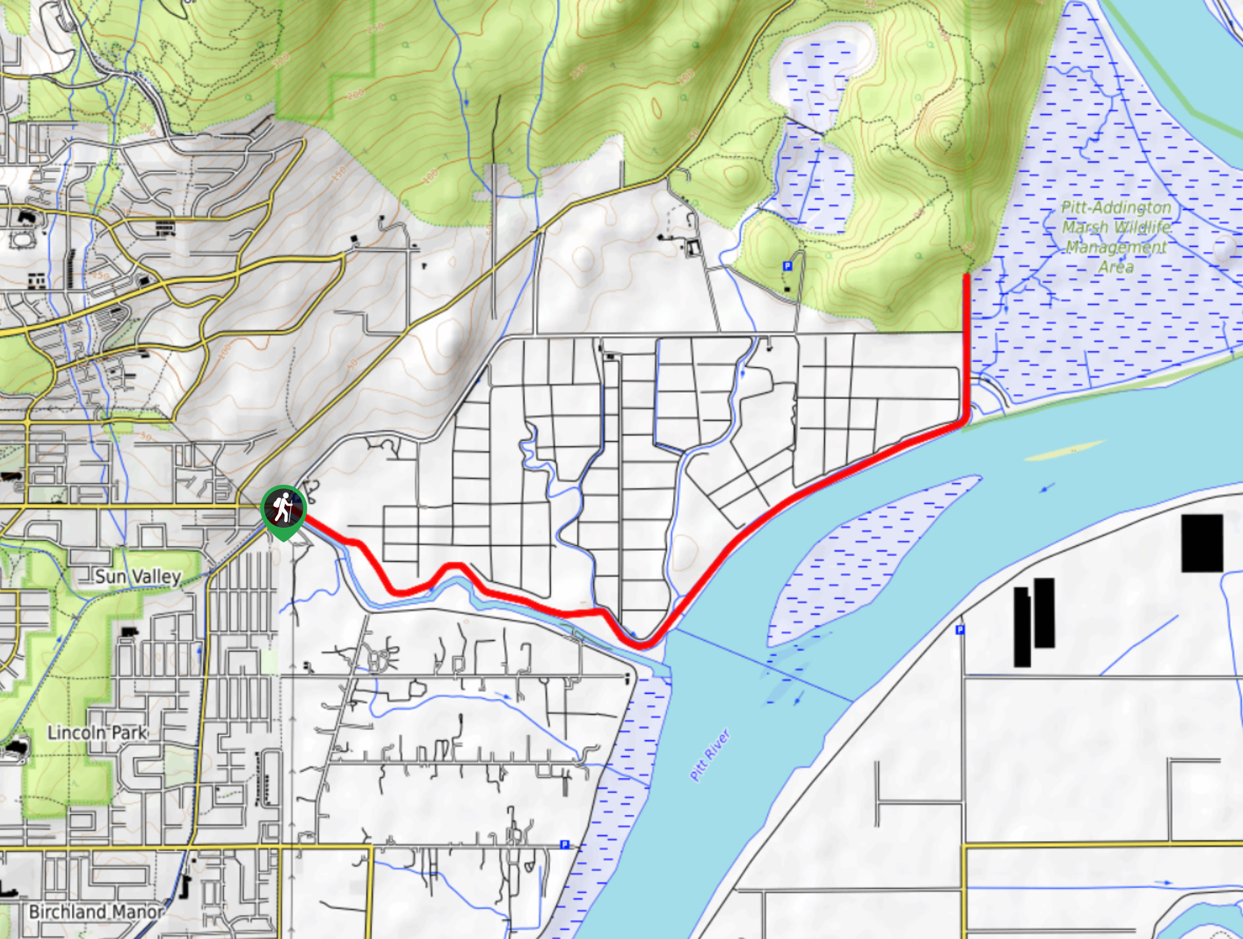
The Katzie Marsh Loop is a beautiful 4.1mi hike through the wetlands of the Pitt-Addington Marsh Wildlife Management Area near Coquitlam, BC. This trail offers hikers the opportunity to experience some amazing wildlife, with over 200 species of birds and 29 mammal species currently being supported in the area. Make your way around this awesome trail as it meanders alongside the Pitt River and cuts through the marsh, making for a fun day of exploration that the whole family will love.
Getting there
To reach the parking area for the Katzie Marsh Loop from Coquitlam, drive southeast on Lougheed Highway/BC-7 E, using the left lane to turn onto Old Dewdney Trunk Road. After 1.4mi, make a left onto Harris Road and continue on it for 1.9mi. Turn right onto McNeil Road and follow it for another 2.4mi, where you will turn left onto Rannie Road. From here, you will find the parking area on your left in 5.4mi

About
| When to do | Year-Round |
| Backcountry Campsites | N |
| Pets allowed | Yes - On Leash |
| Family friendly | Yes |
| Route Signage | Average |
| Crowd Levels | Moderate |
| Route Type | Circuit |
Katzie Marsh Loop
Elevation Graph
Weather
Katzie Marsh Loop Description
The initial stretch of the Katzie Marsh Loop cuts through the wetlands along a trail known as the Nature Dyke. This trail is a bit overgrown with wild grass and has some areas along the path that have become eroded due to the wet, marshy ground. After making your way past these sections the rest of the hike will open up along a wider path, making it easier to traverse.
This hike offers views of the beautiful wetlands scenery and travels along an easy-to-navigate route that provides hikers with the opportunity to see many different species of birds and mammals. To make the most of the scenery, be sure to take advantage of the lookout towers that provide a bird’s-eye view of the surrounding marshy landscape.
Setting out from the parking area, follow the Nature Dyke Trail south as it heads into the marsh. Be careful along this stretch of the path, as certain areas may be overgrown/eroded. After 1.1mi, you will reach an observation tower that can be used to get a sweeping view of the surrounding area and help you to spot some of the more elusive wildlife species within the marsh. Continue along the trail as it transitions to the Swan Dyke on the eastern side of the marsh. When you reach the gravel road along the Pitt Dyke, turn left to return to the car park and complete the Katzie Marsh Loop.
Similar hikes to the Katzie Marsh Loop hike
Trans Canada and Pandora Trail Loop
The Trans Canada and Pandora Trail Loop is a combination of several trails within the Burnaby Mountain Conservation Area that…
Quarry Trail
The Quarry Trail is a scenic hike through the beautiful wetlands of Minnekhada Regional Park that takes hikers to several…
DeBoville Slough to Addington Lookout
The hike along DeBoville Slough to Addington Marsh is an easy 6.0mi out-and-back trail along a paved path…
Comments